SITE HISTORY Collapse/Expand
FORMER AUTOVON 1ESS SWITCH
Currently 5ESS DCTN
(L-3I, L-4, L5, L5E)
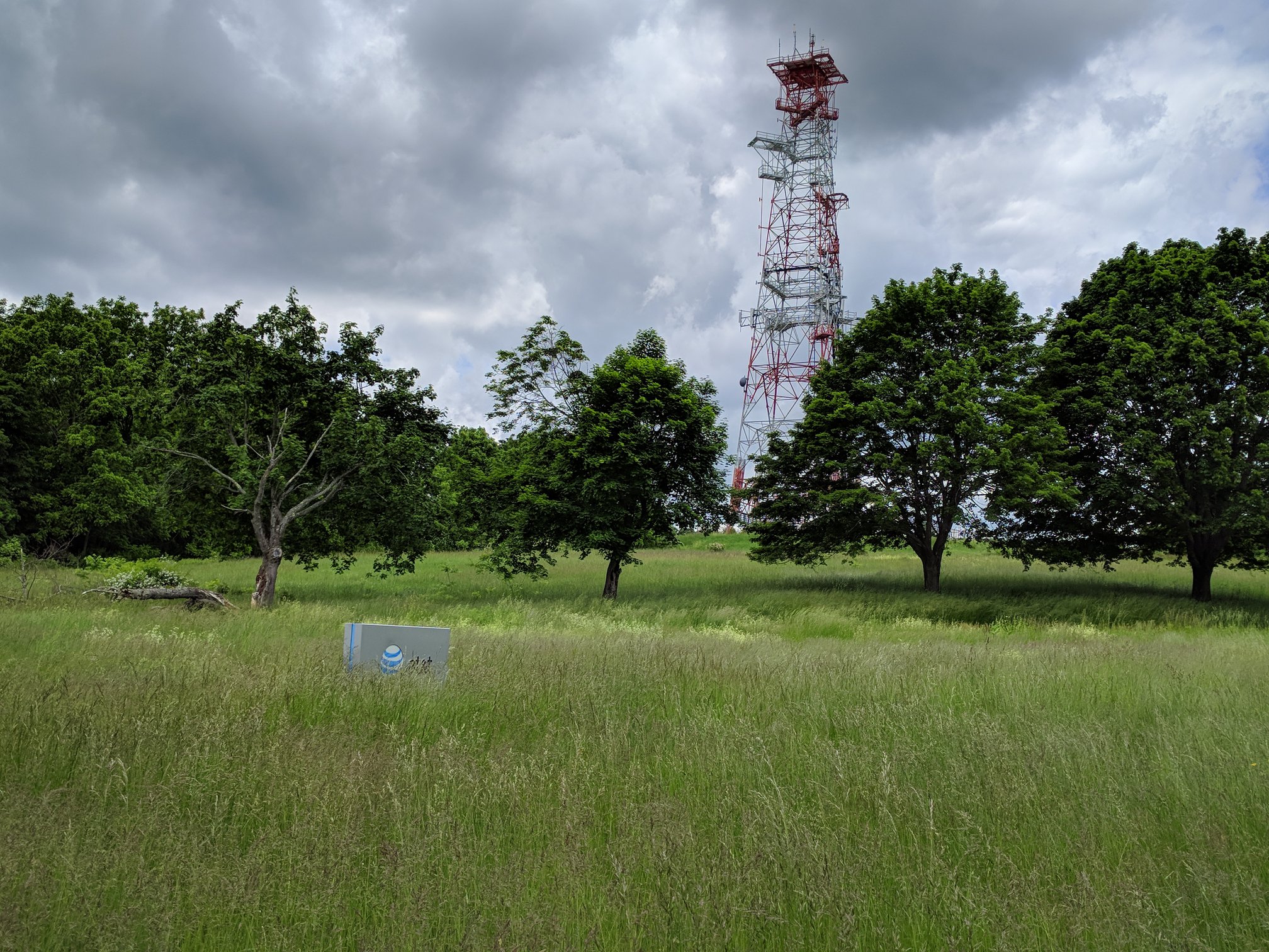
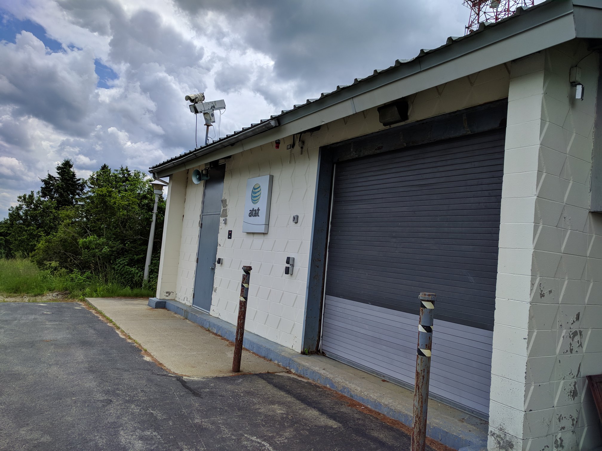
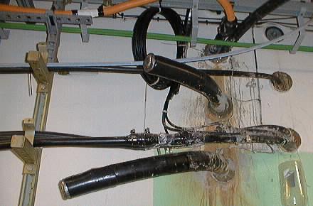
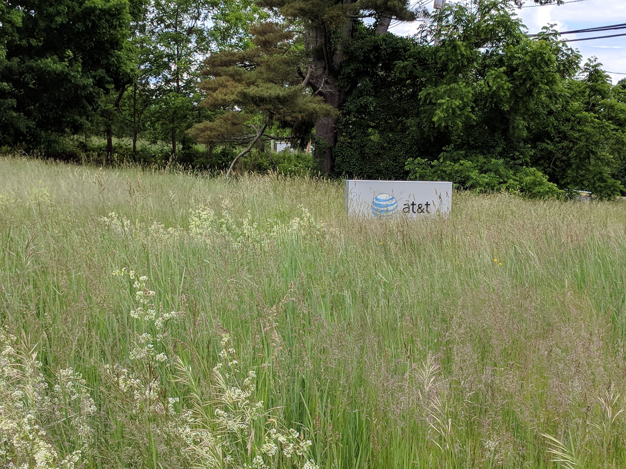
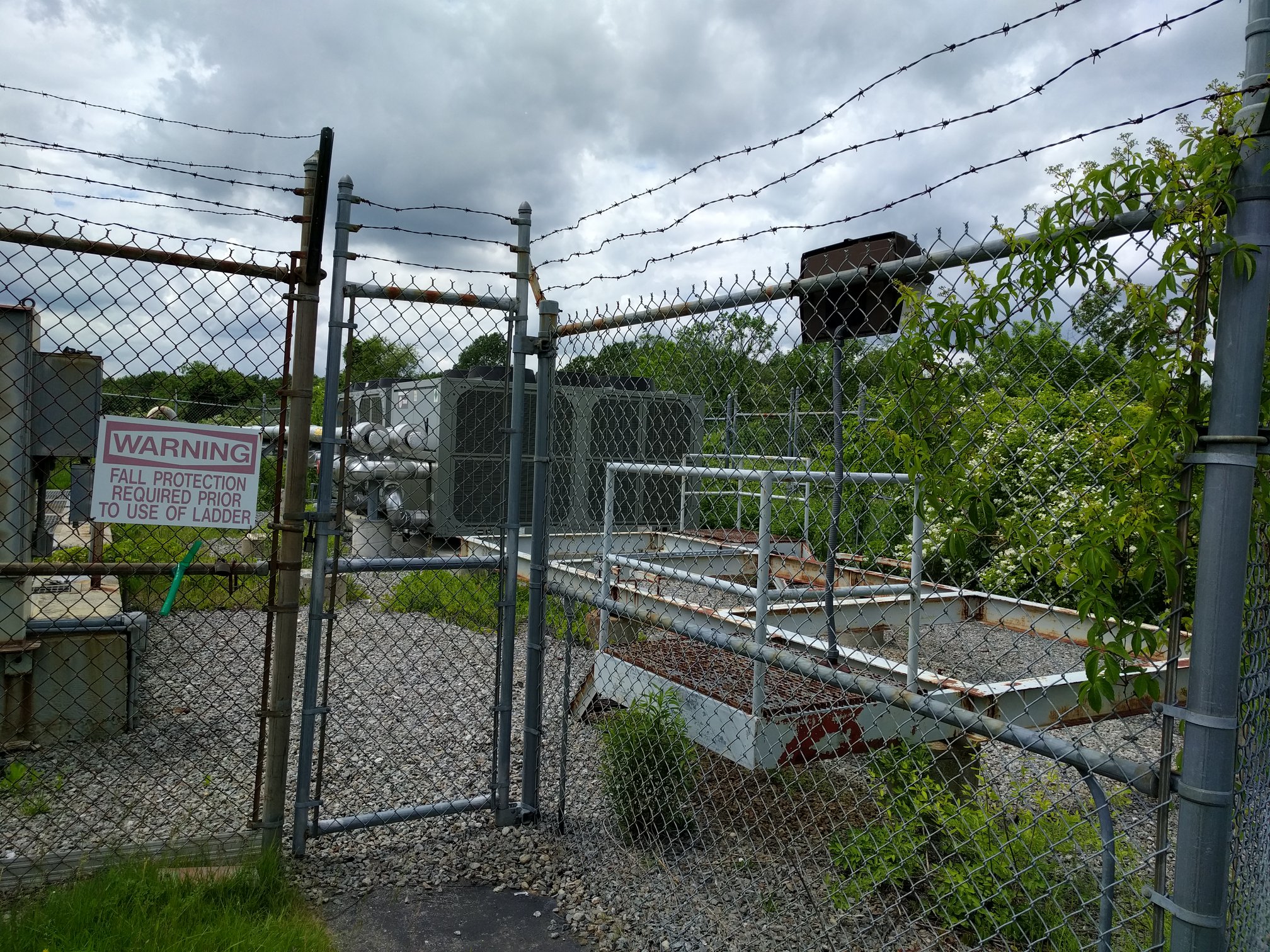
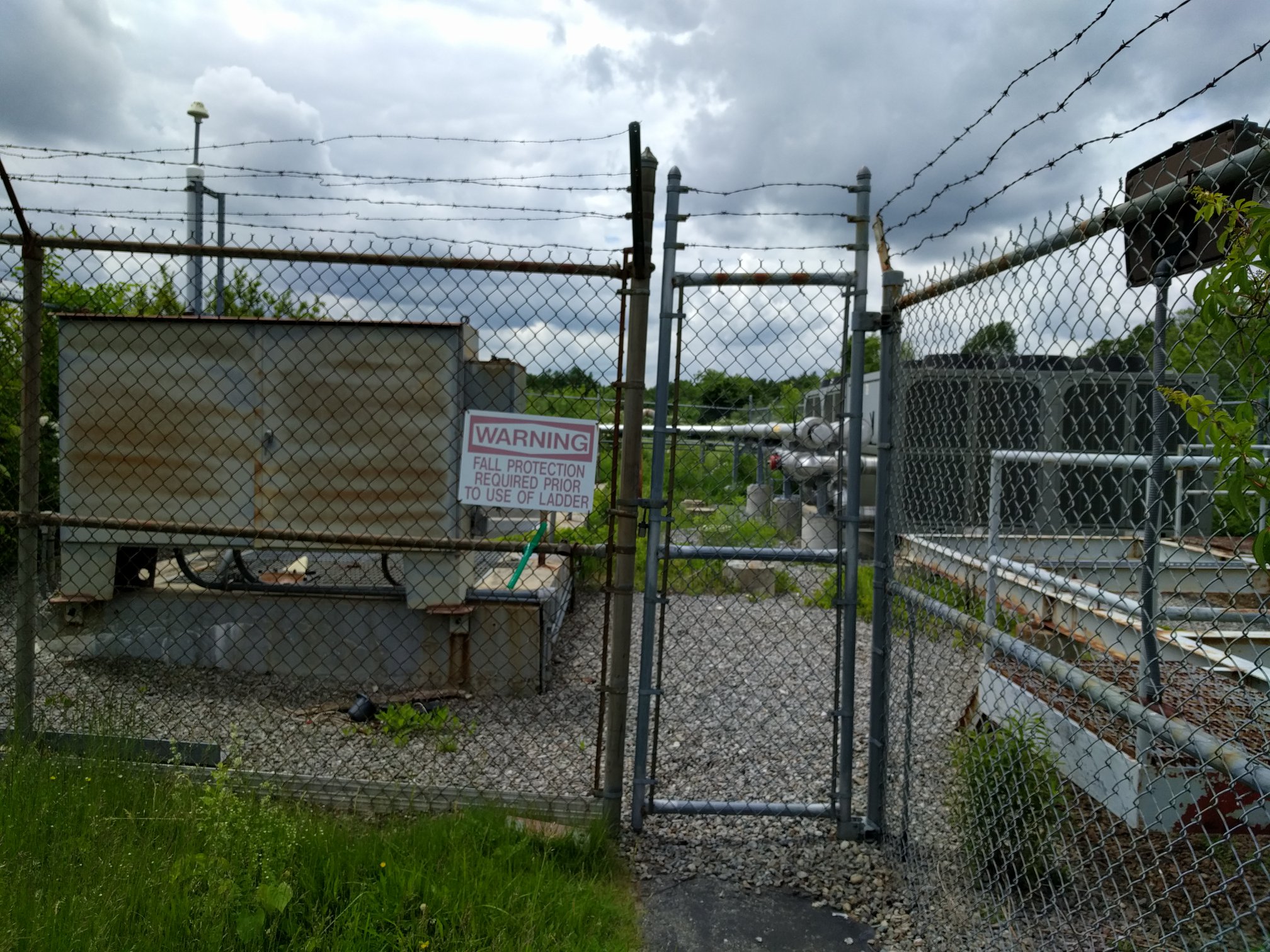
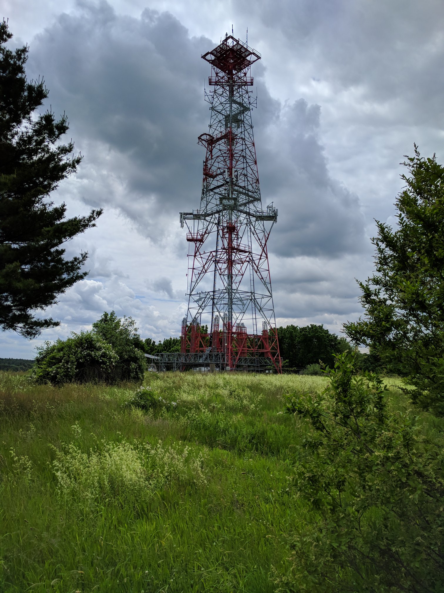
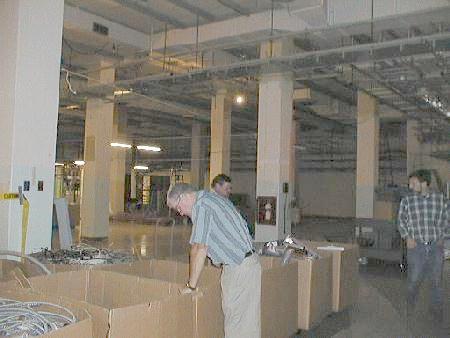
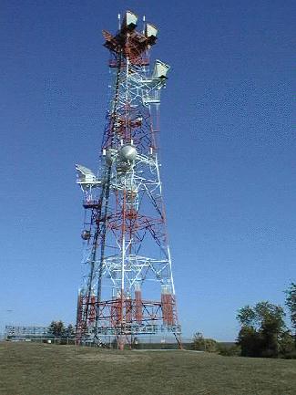
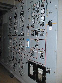
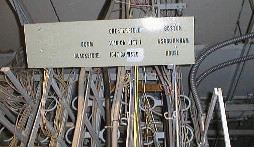
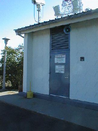
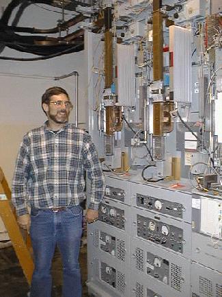
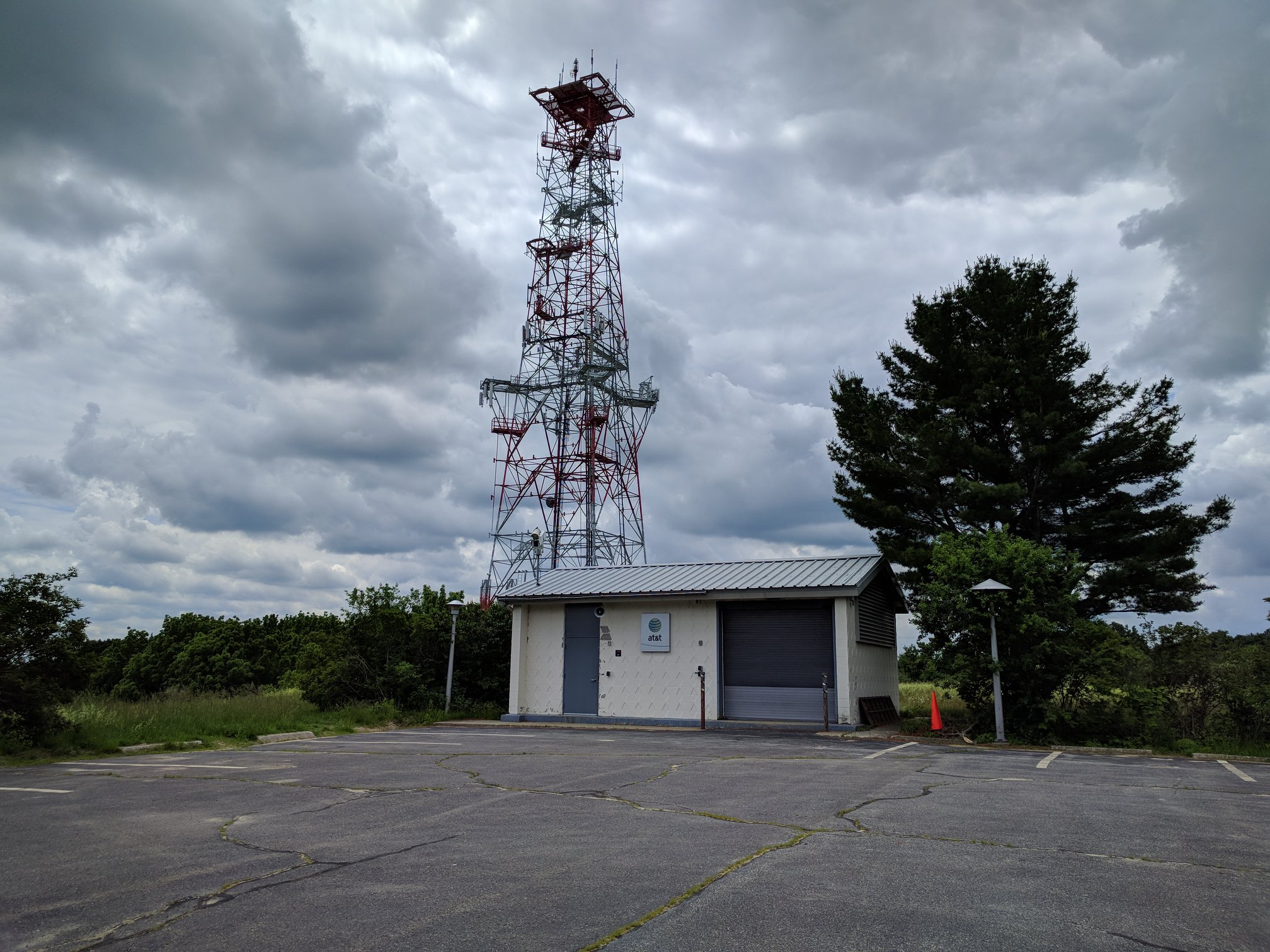
The site was constructed approximately in 1964. The Littleton site originally had a 1ESS switch that provided AUTOVON service for the New England Area. The L-4 system was turned down in 1993. The 1ESS was replaced by a 5ESS in October of 1988, and is now owned and operated by the federal government. The L-4 has been replaced by fiber. The tower still supports a radio link to Sanford Maine via New Hampshire using a TD-2A microwave system. The ceilings are 20 feet tall to allow for the 11' 6" bays to hang from the ceiling on BIG SPRINGS. The bays were allowed to move and secured to the floors with "bungi" cords. The Littleton facility is in the final stages of having Abandoned in Place (AIP) equipment, like the L-4 system, being ripped out by Lucent. The two large cables are L-3I and L-4 cables (Blackstone and Boston). The smaller cables go to other offices. One of the smaller cables was a private cable that supplied AUTOVON to the FEMA (then DCPA) Regional Center in nearby Maynard. There is also a fiber cable in the top tray. Emergency power is supplied by three gas turbines. Wire frame panel shows destinations of circuits that travel on the L 3/4 order wires. "OCDM" indicates cable that ran to the FEMA underground facility in Maynard, MA. ARCHIVED FROM MARK FOSTER'S WEBSITE