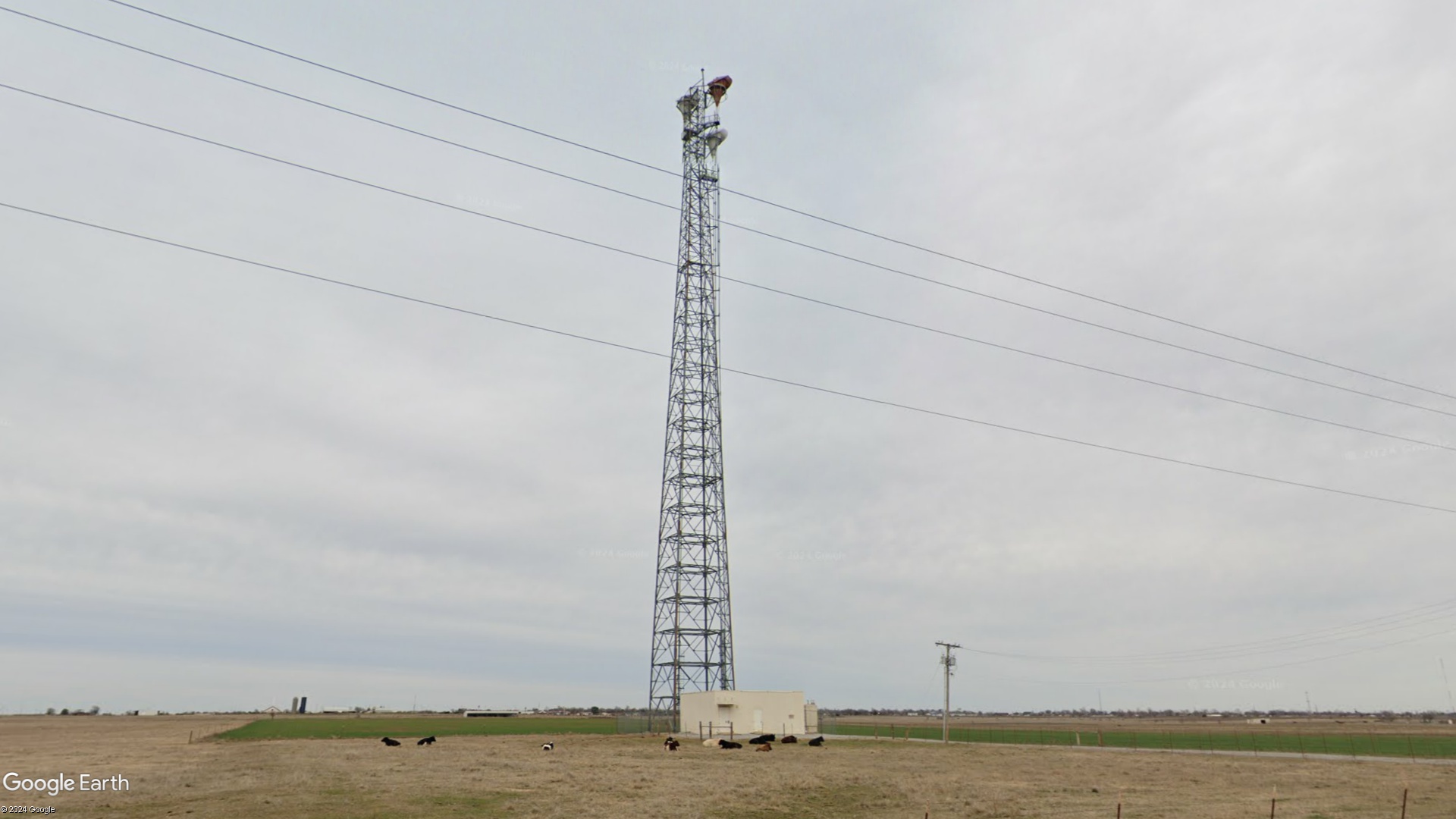
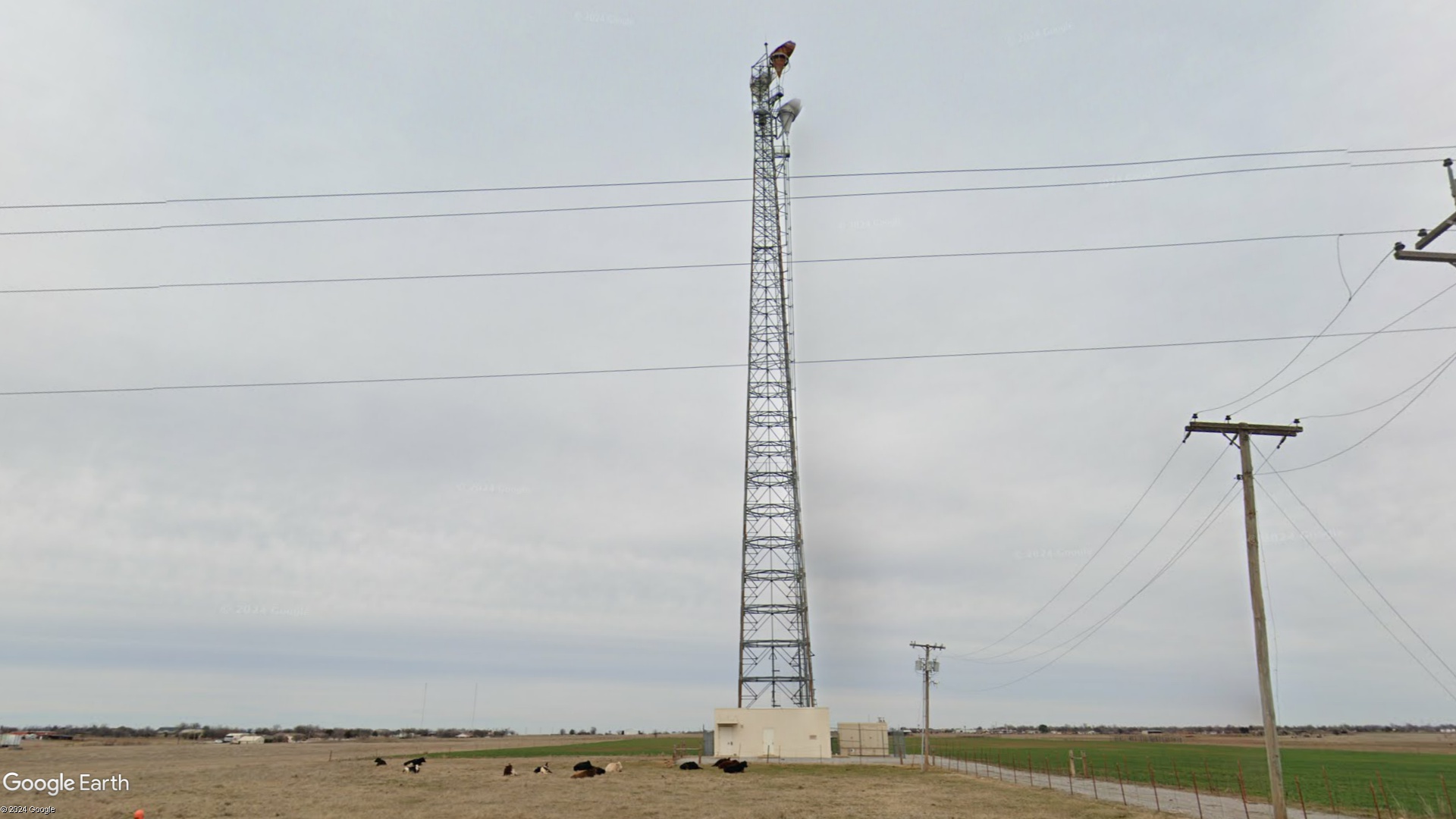
Lawton- Oklahoma

Coordinates: 34.5808910334692, -98.3487115942073
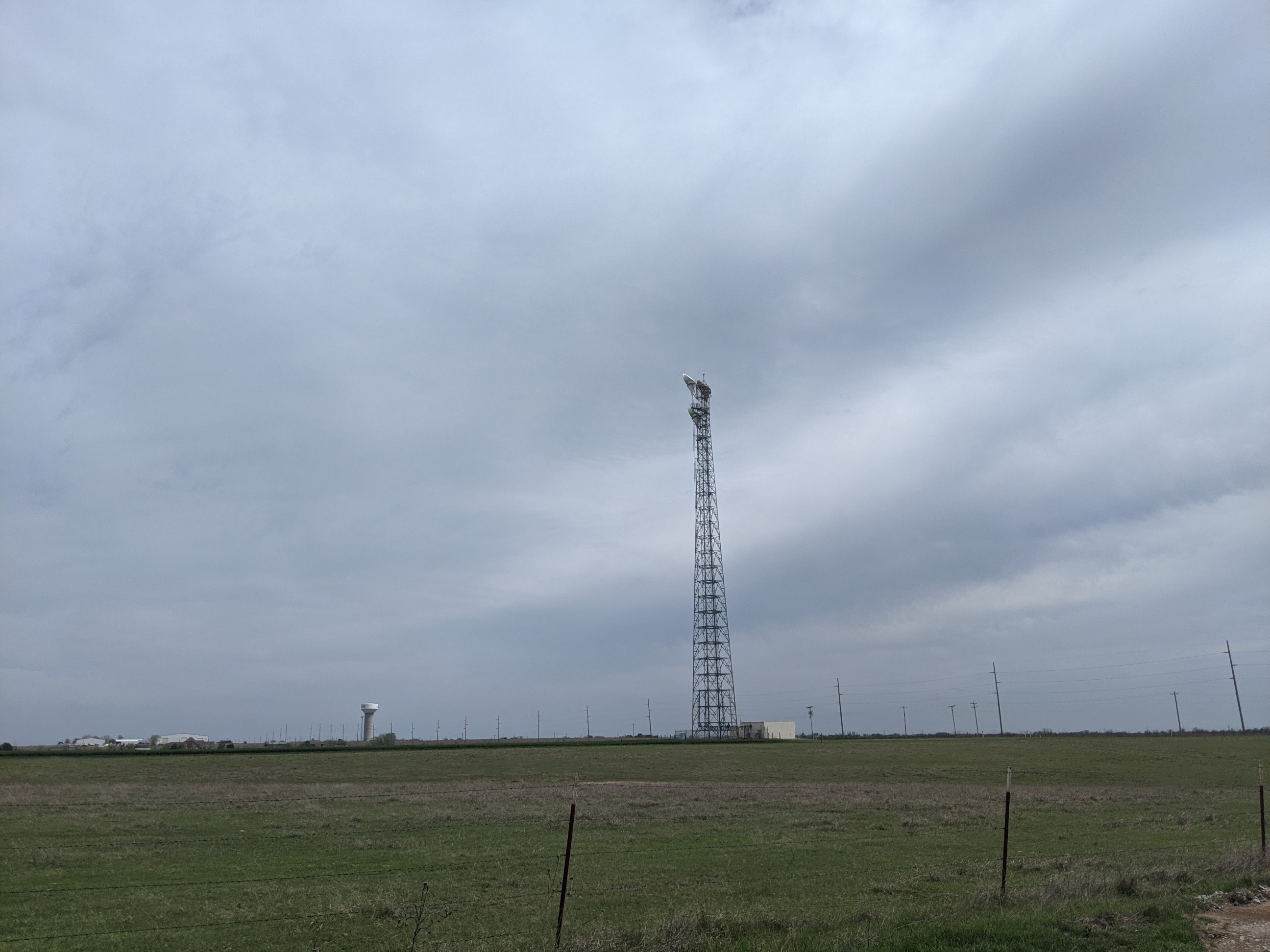
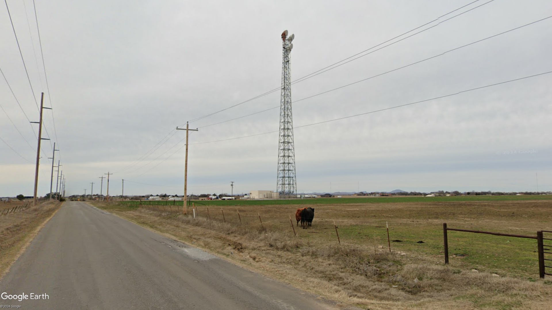
Address: 3214 SE Bishop Rd Lawton 73501
Paths To: Lawton CO   Duncan   Walters
View On: Long Lines Map | Google Maps | Bing Maps

View Random Site

Site Notes

Add site note

Information from FCC registration   Collapse/Expand

The tower is 313 feet tall, is currently owned by AT&T, and was built in 1989 according to the FCC tower registration. Registration number is 1014796.

Information from FCC registration   Collapse/Expand

The tower is 313 feet tall, is currently owned by AT&T, and was built in 1989 according to the FCC tower registration. Registration number is 1014796.

Site Documents

Site Pictures

Add site Pictures

This event has 0 comments.

Please log in to leave a comment.

All information is provided for free to the public. Pictures and Documents are provided by supporters of the website and for that I am very gateful.
For any questions or comments please email [email protected].