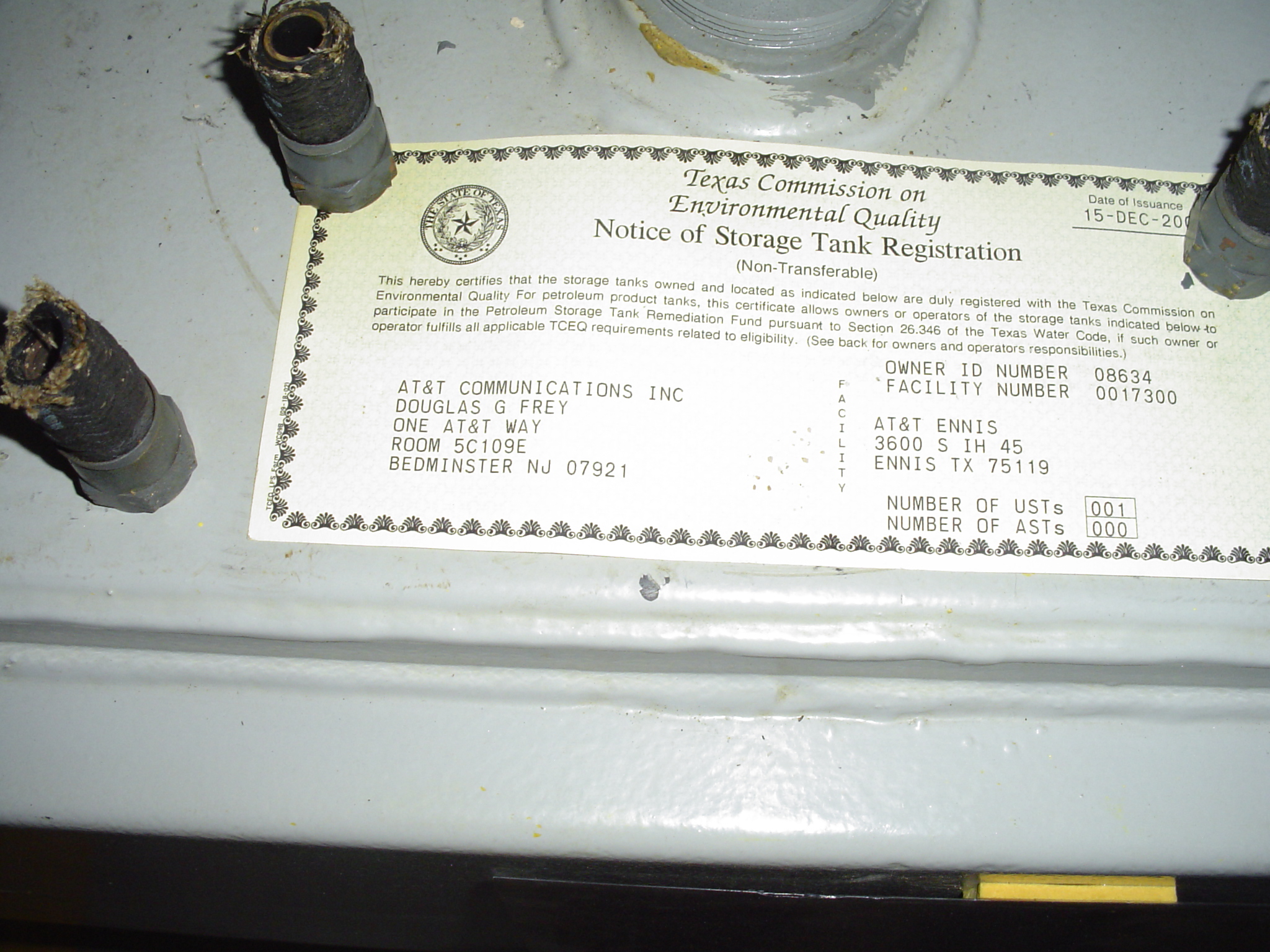
Ennis - Texas
Address: Ennis
Paths To: Combine RICHLAND #2-TX
View On: Long Lines Map | Google Maps | Bing Maps
View Random Site
Site Notes
Add site noteSITE HISTORY Collapse/Expand
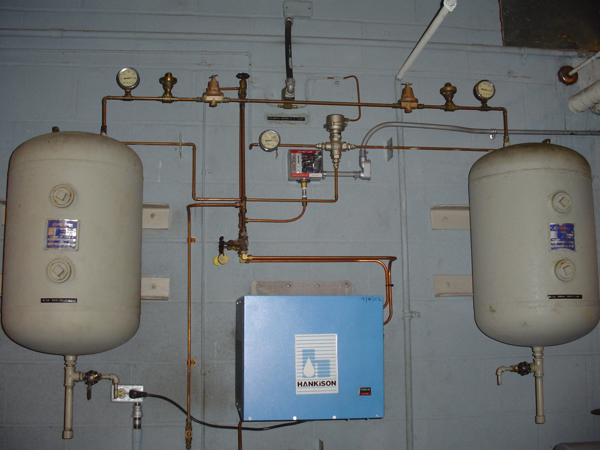
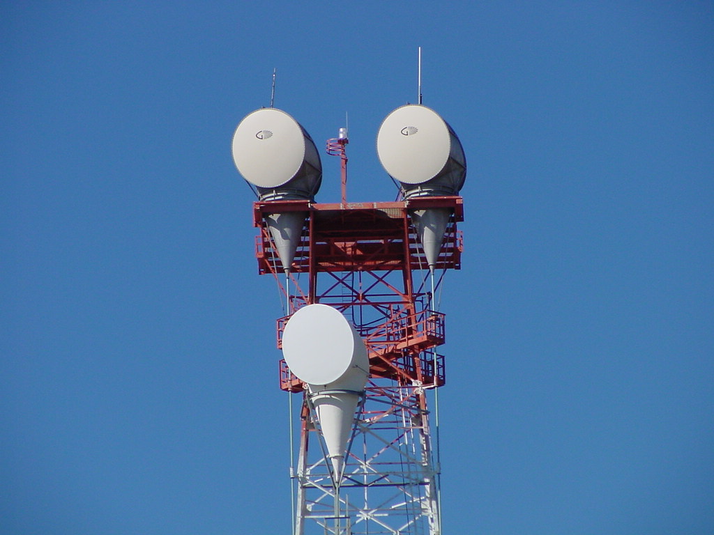
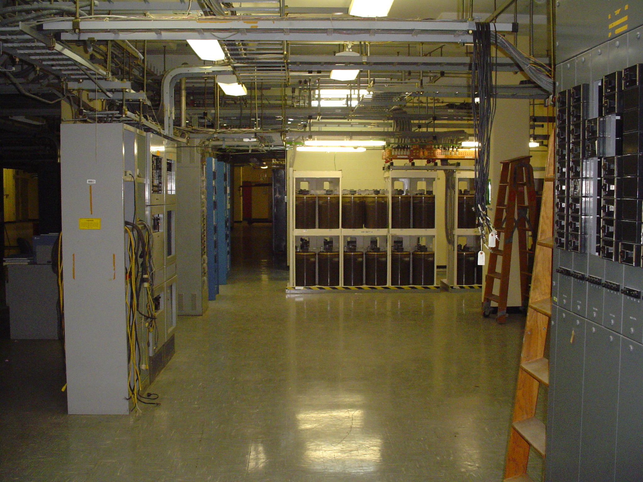
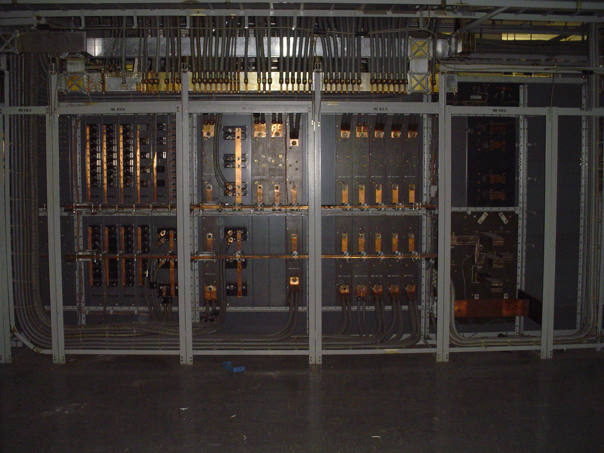
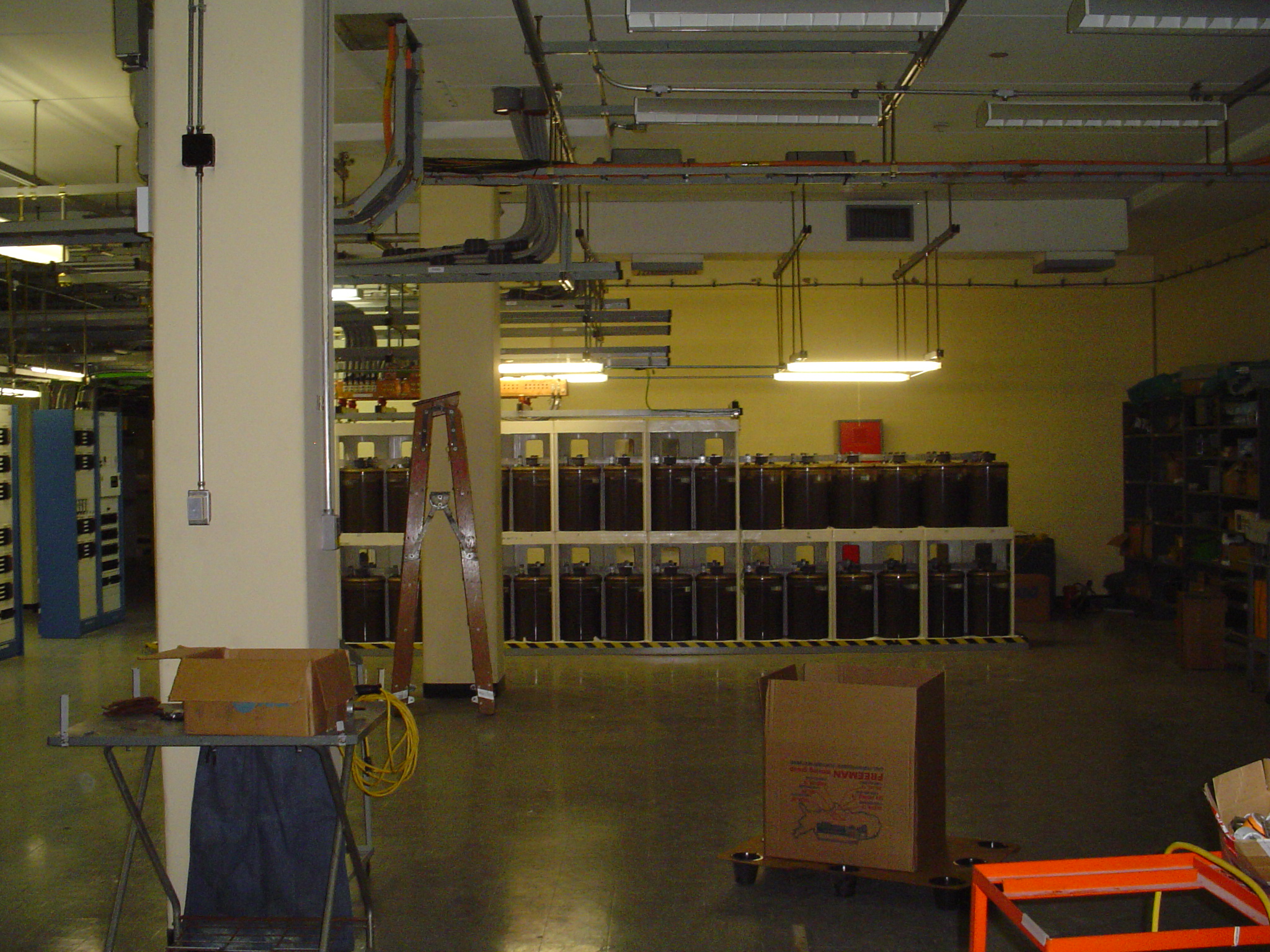
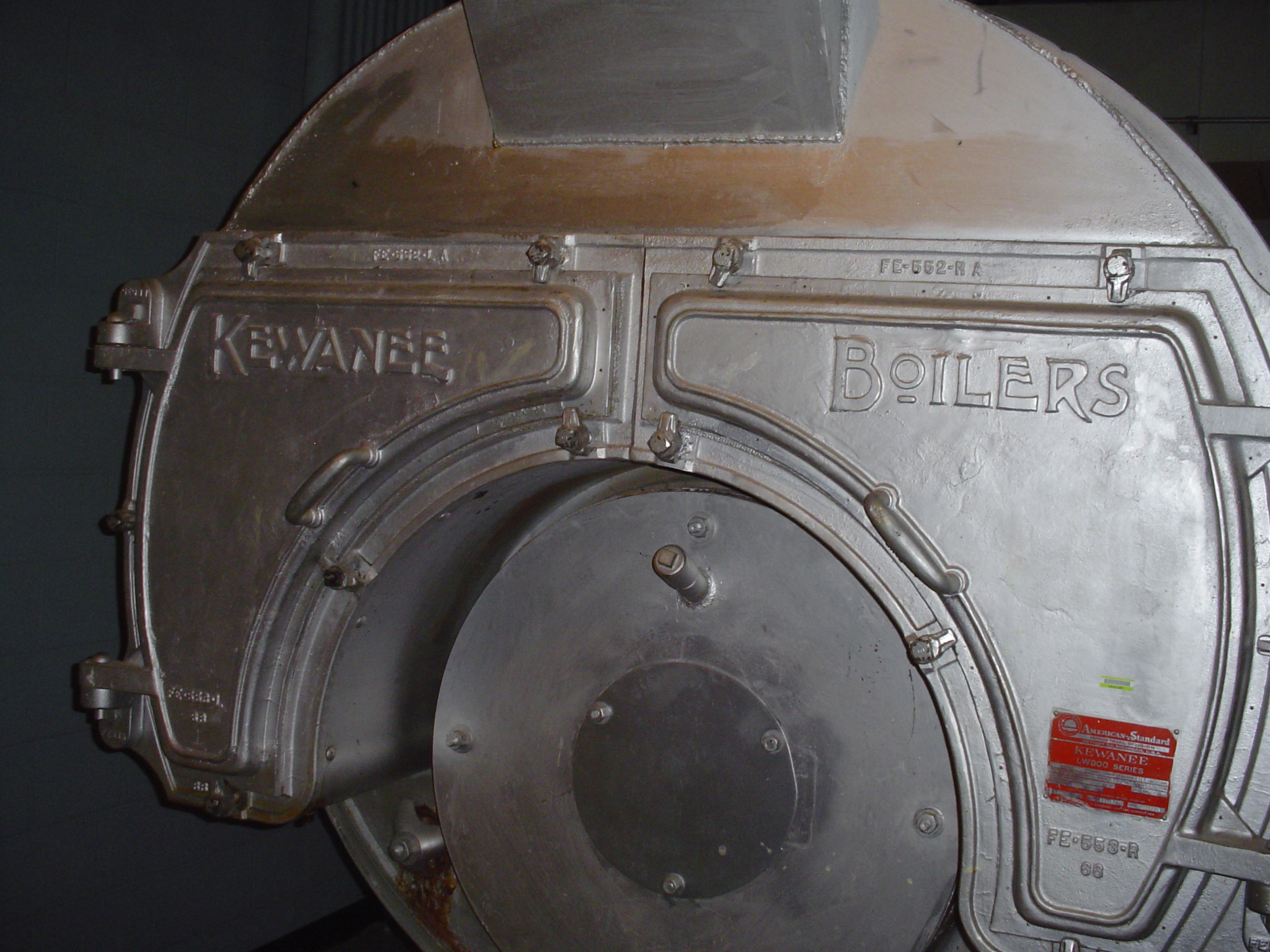
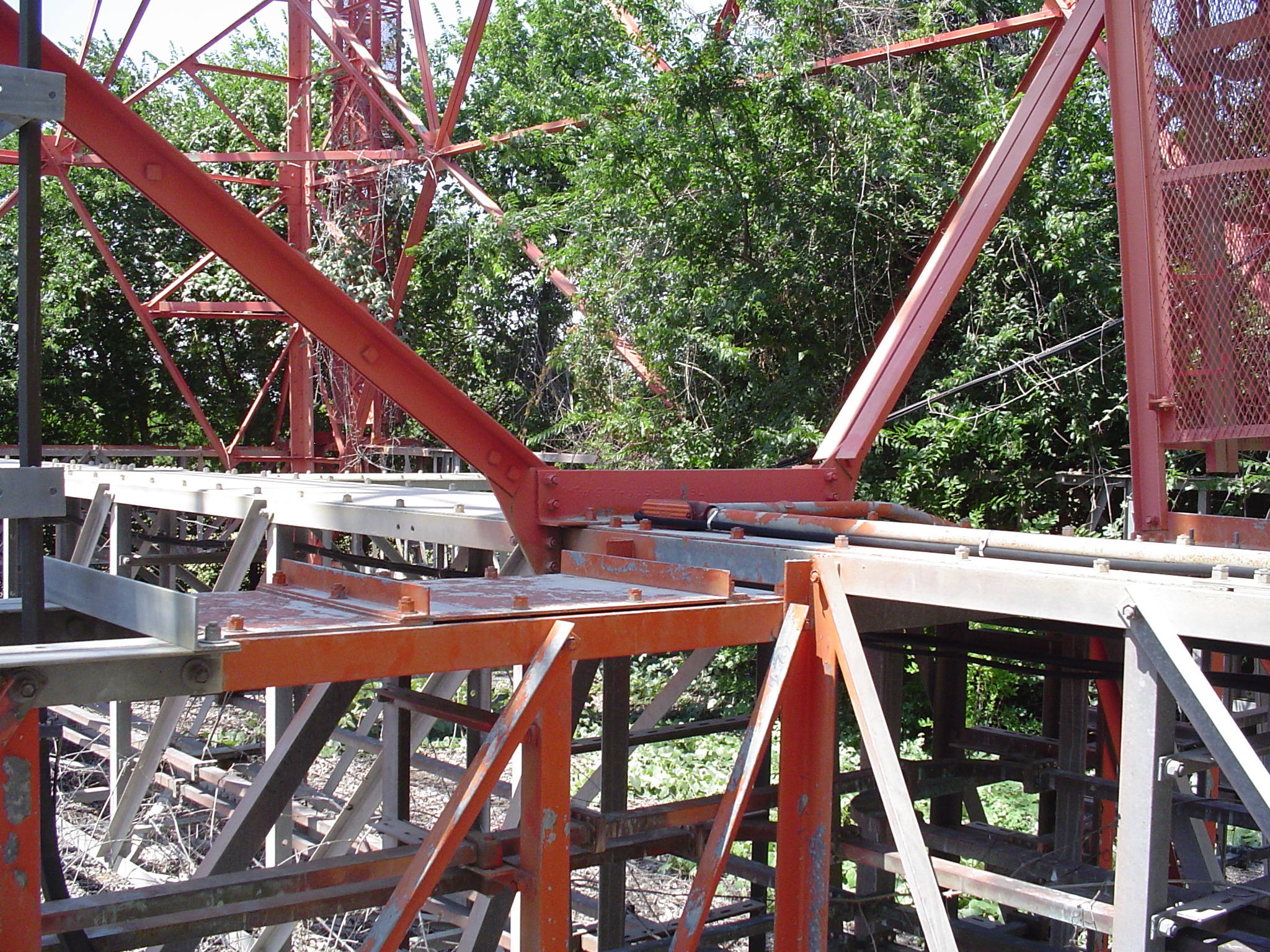
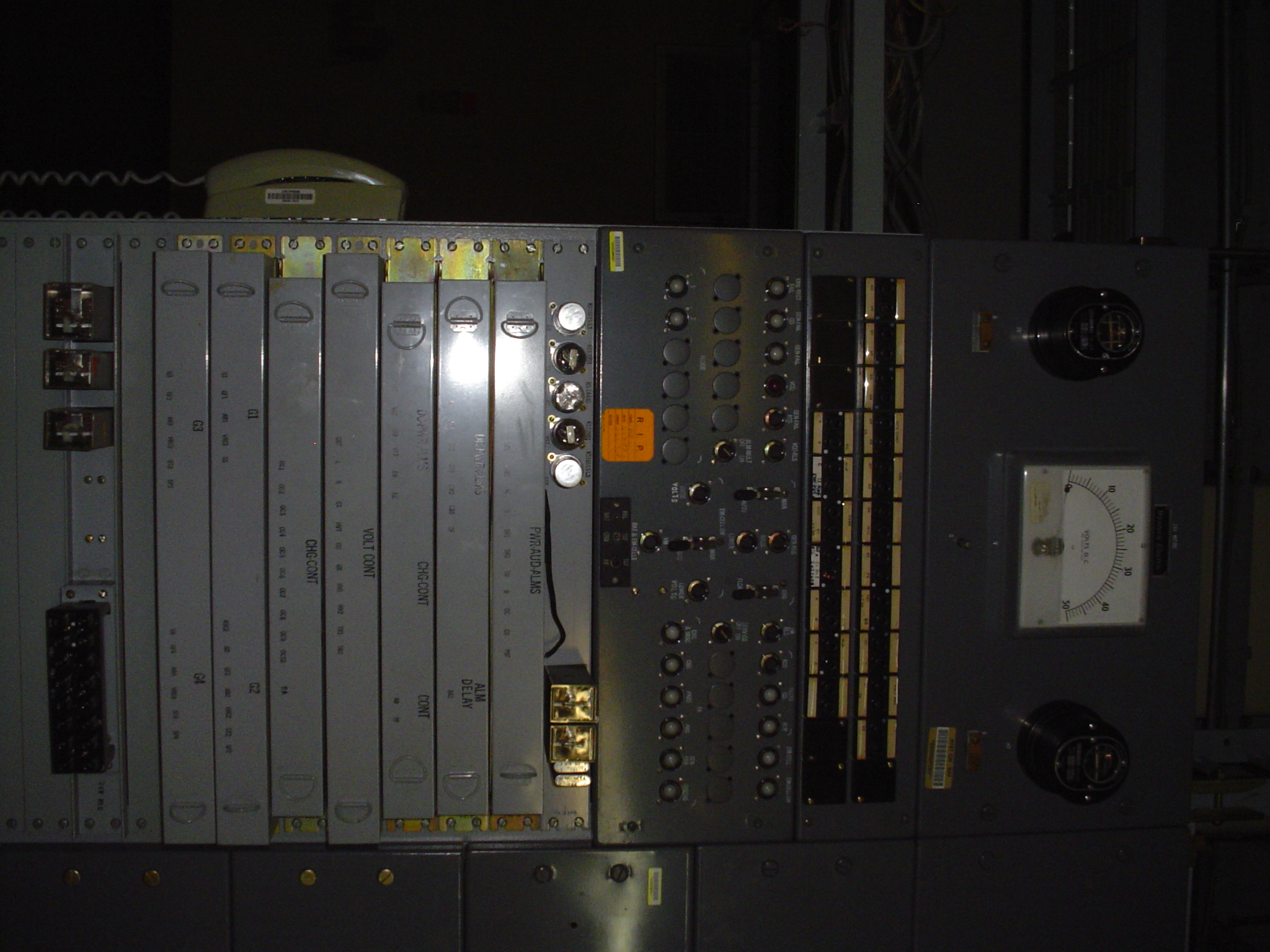
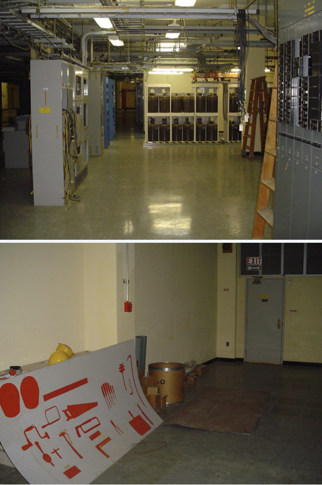
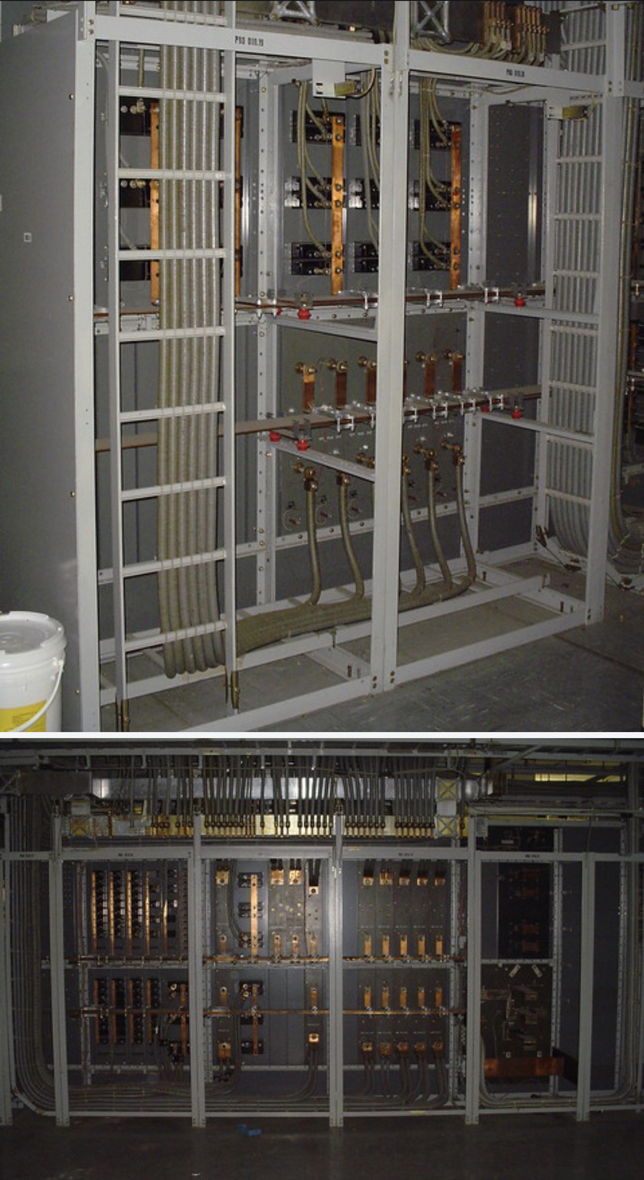
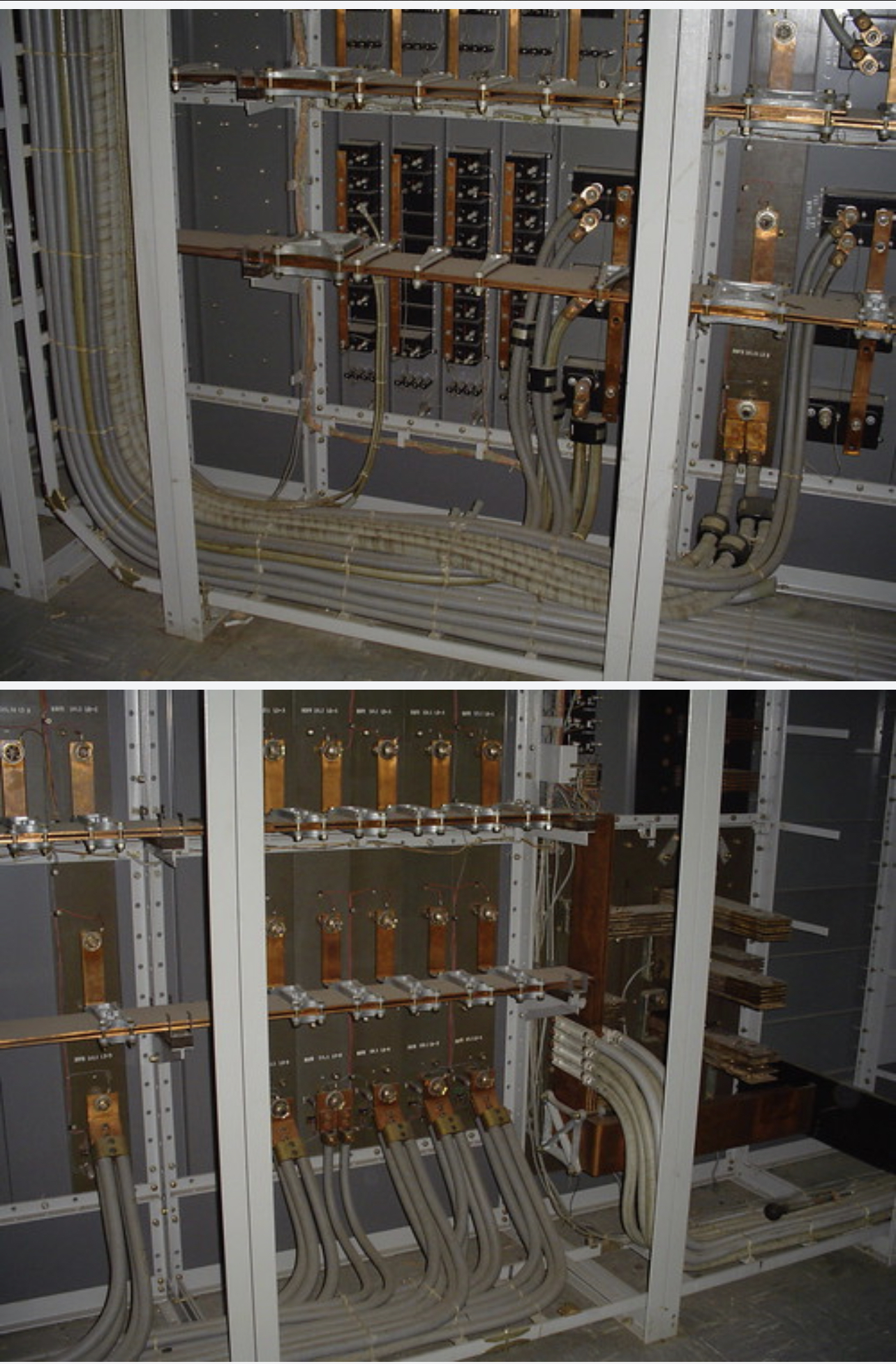
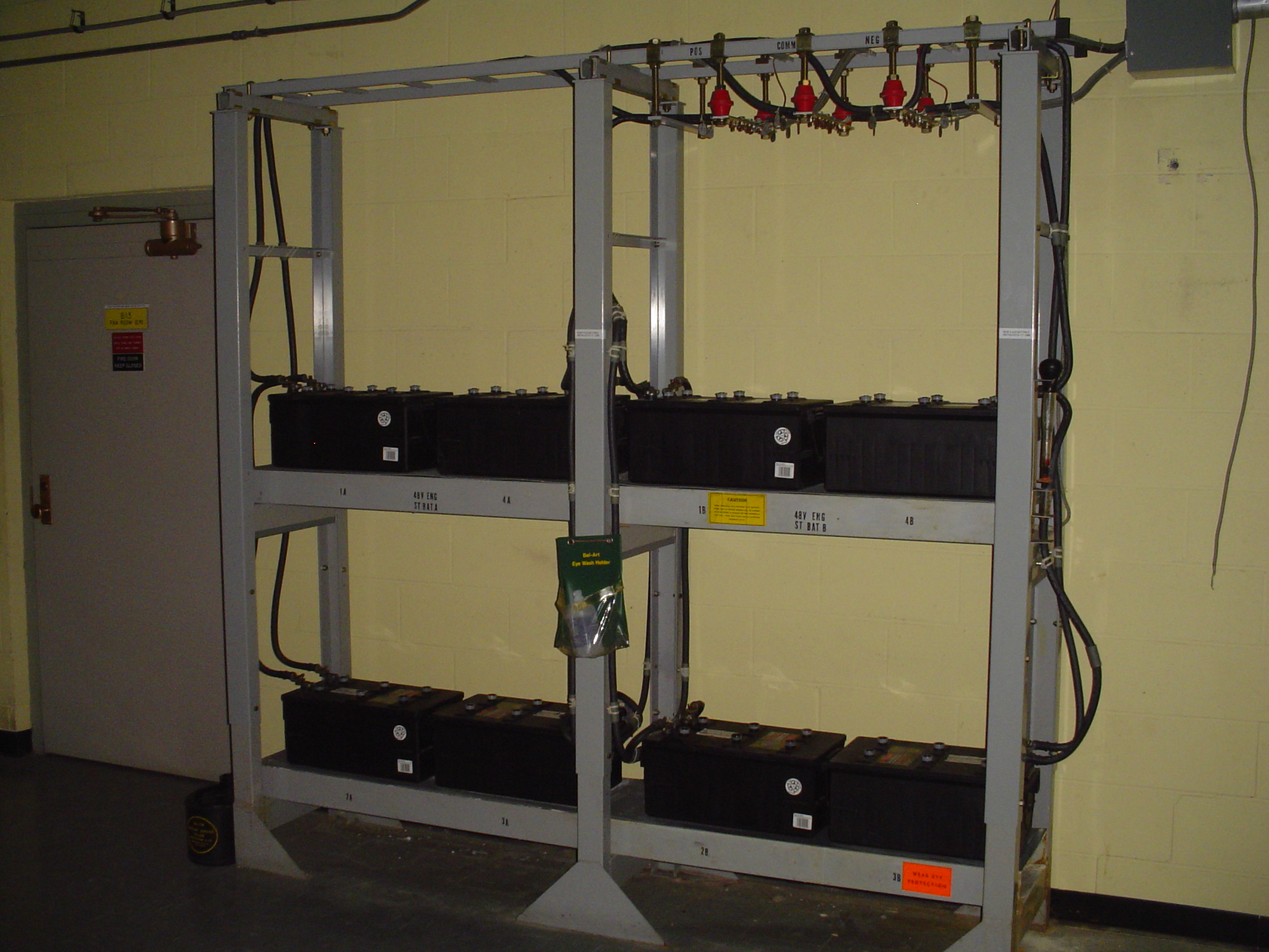
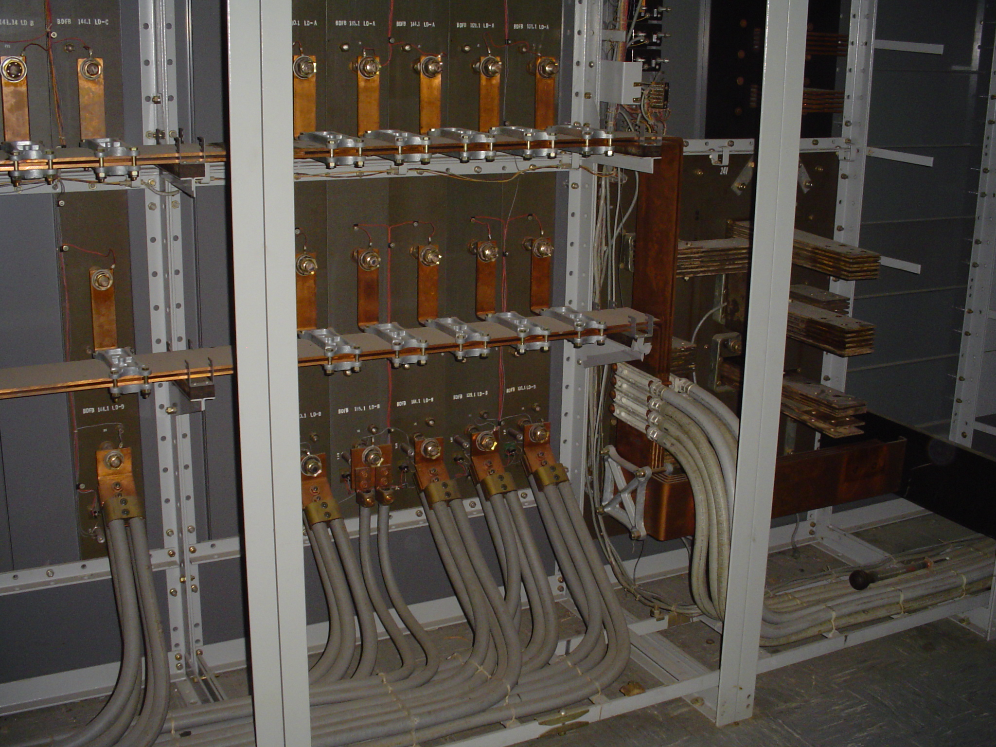
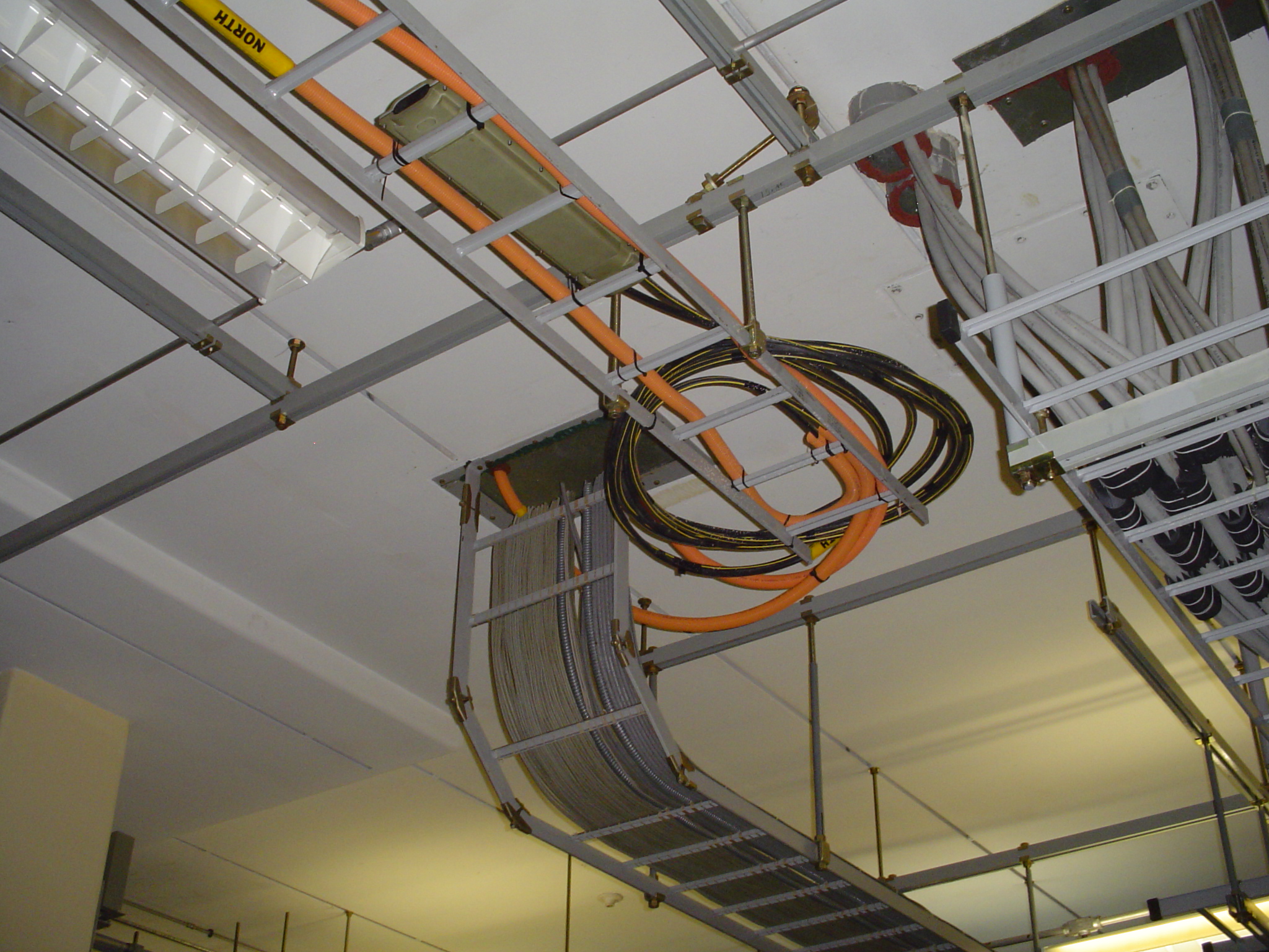
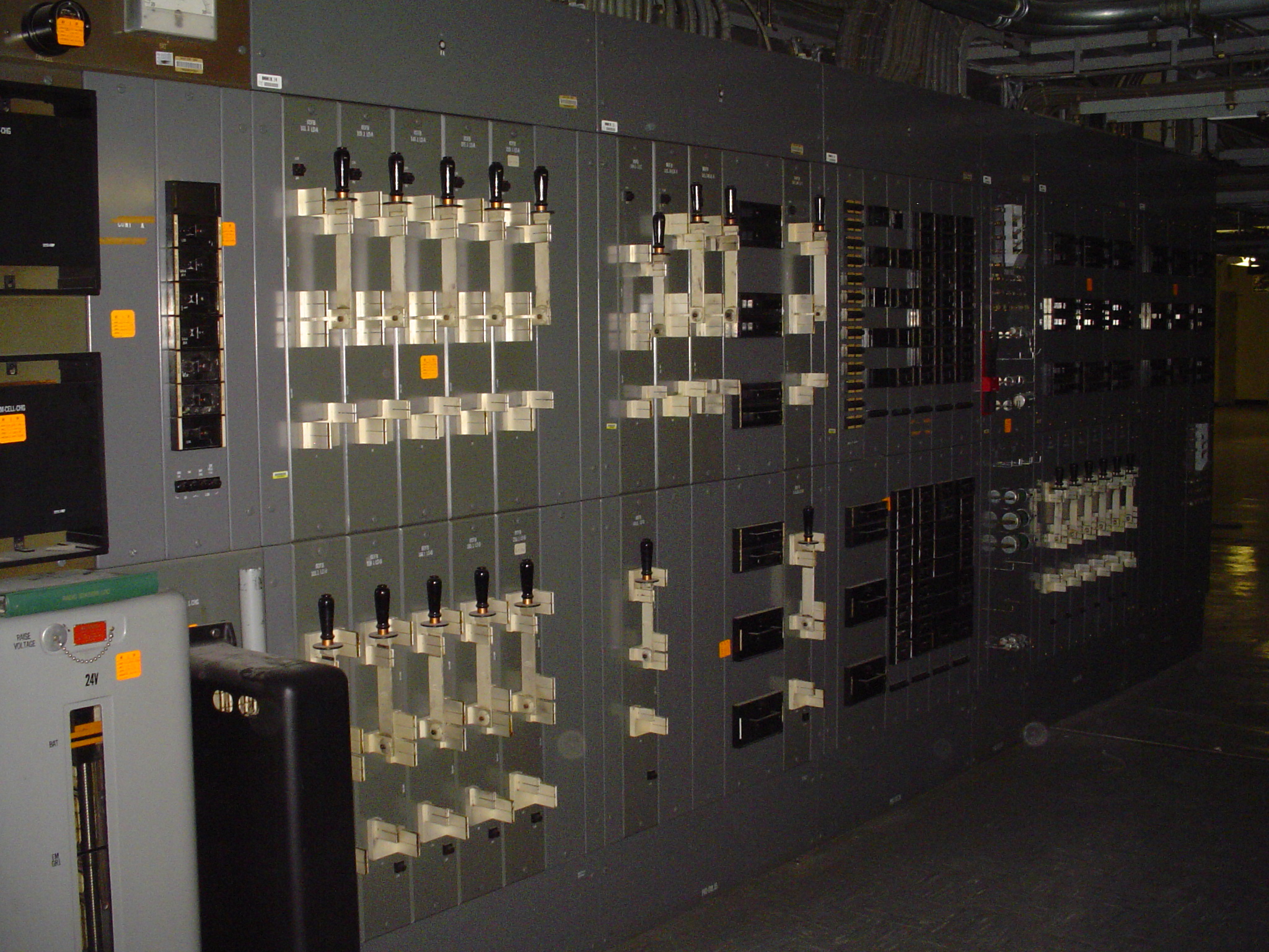
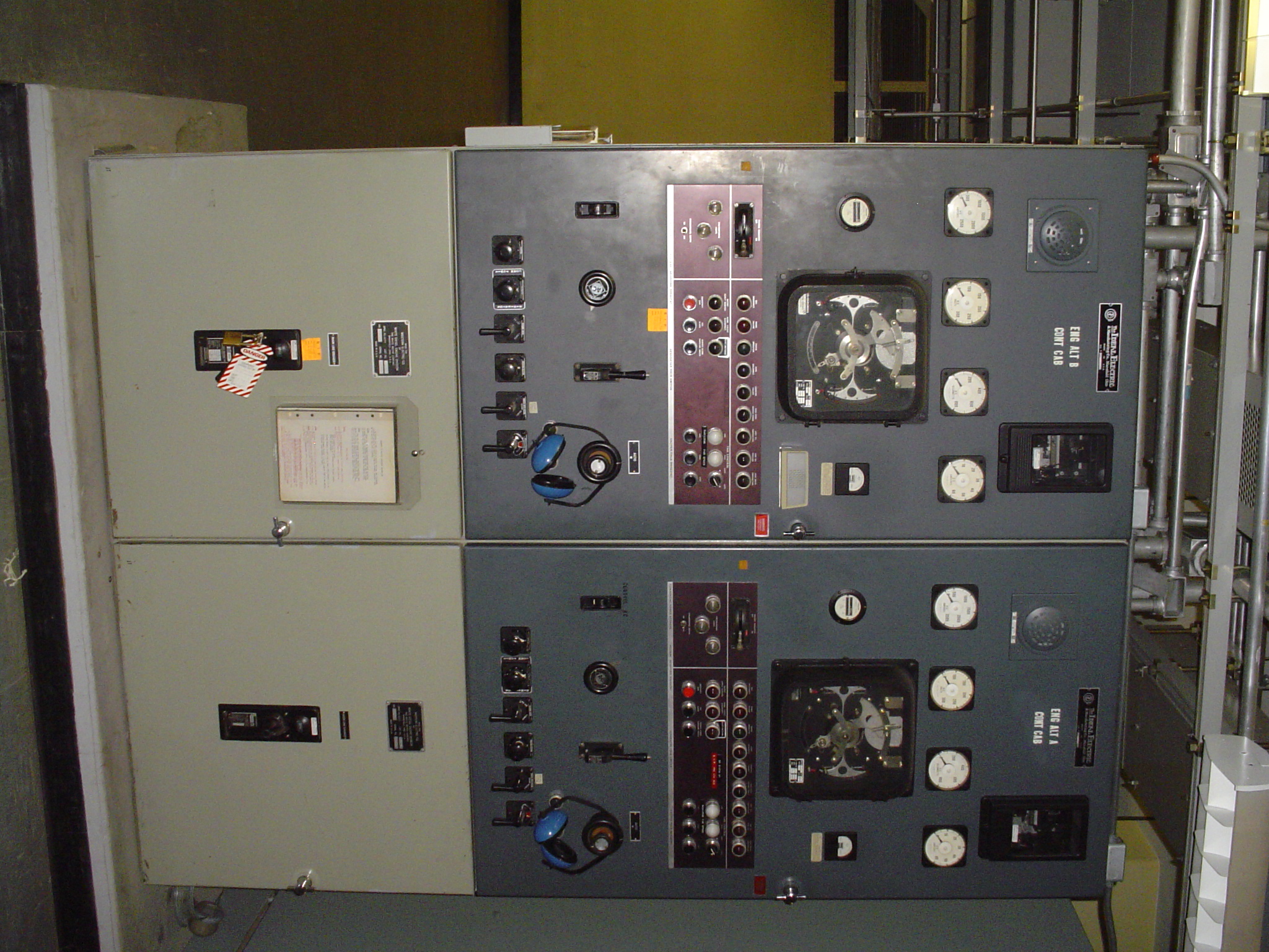
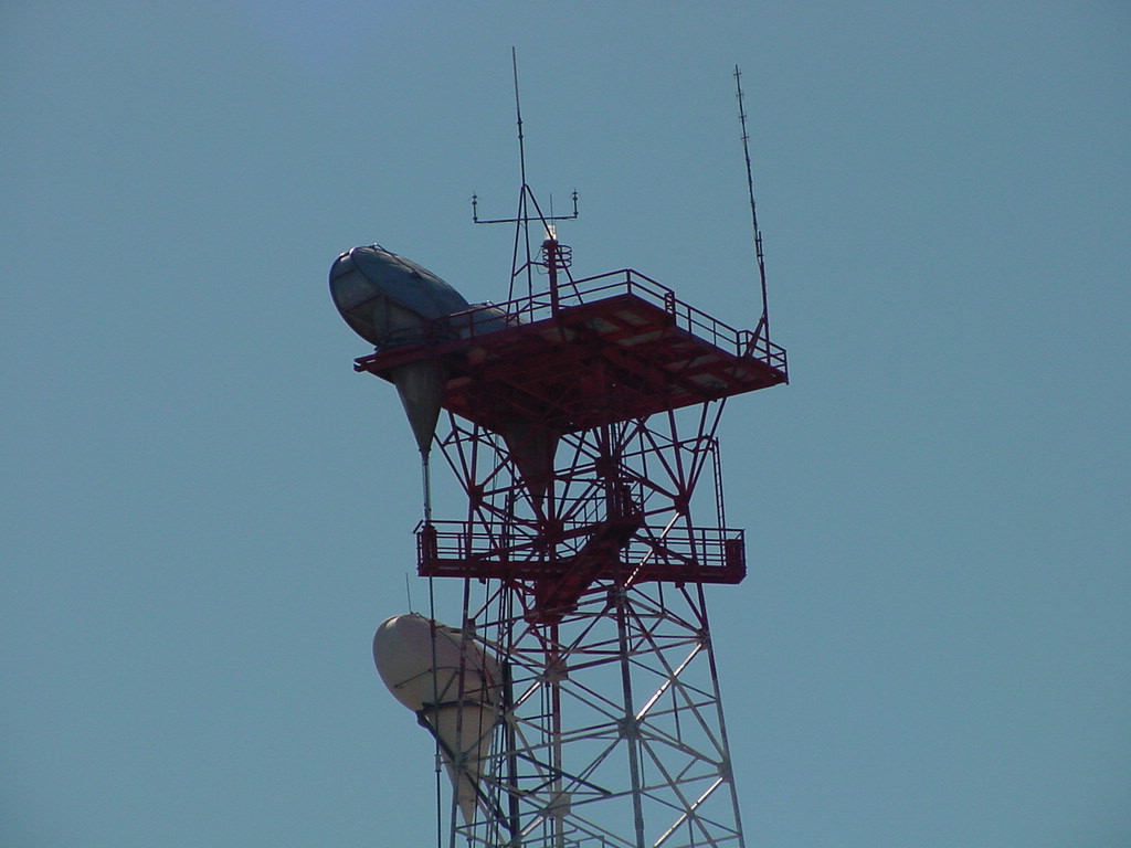
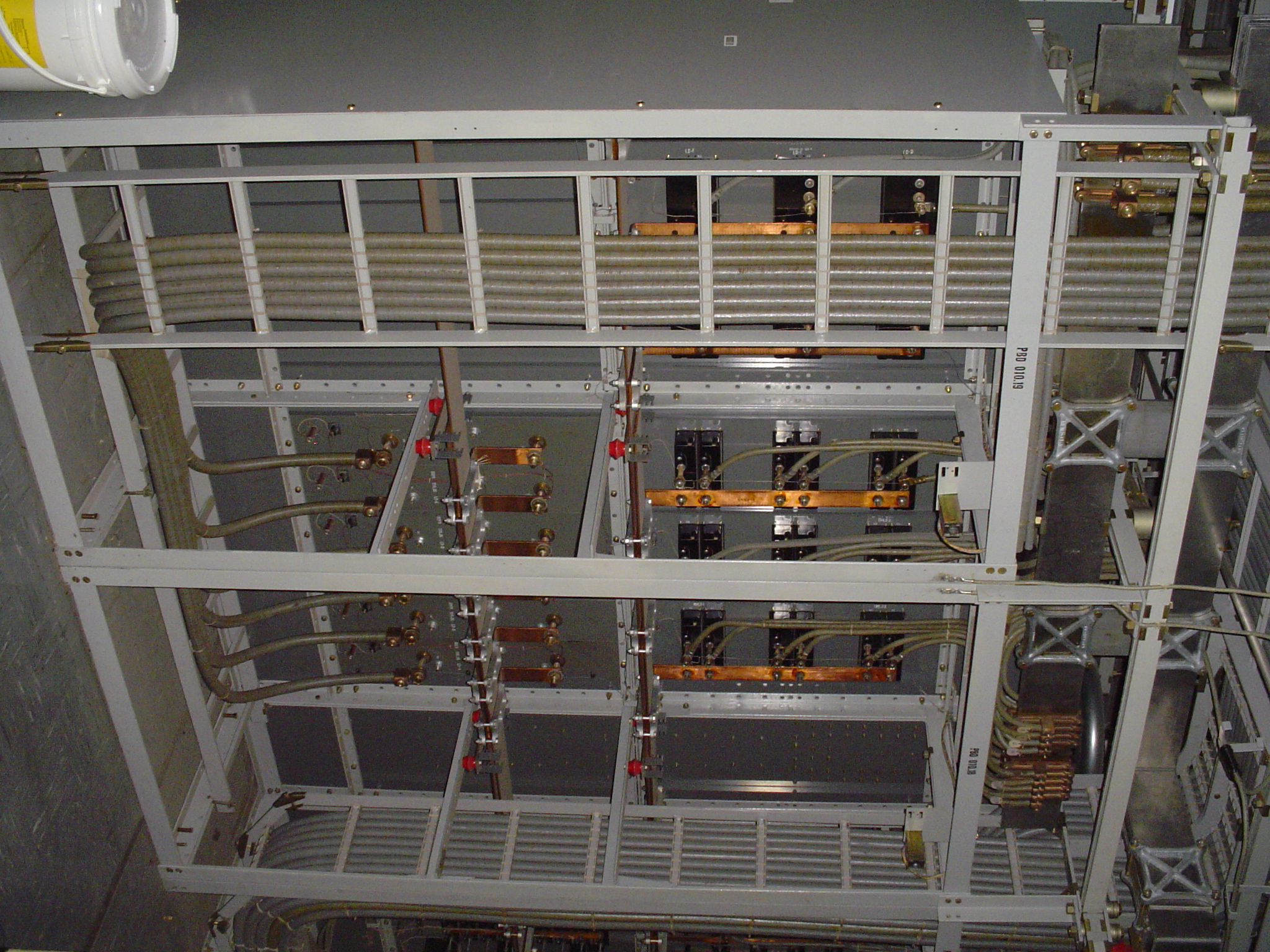
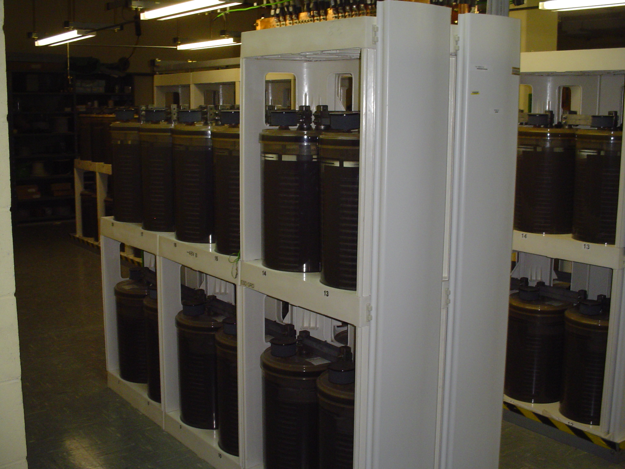
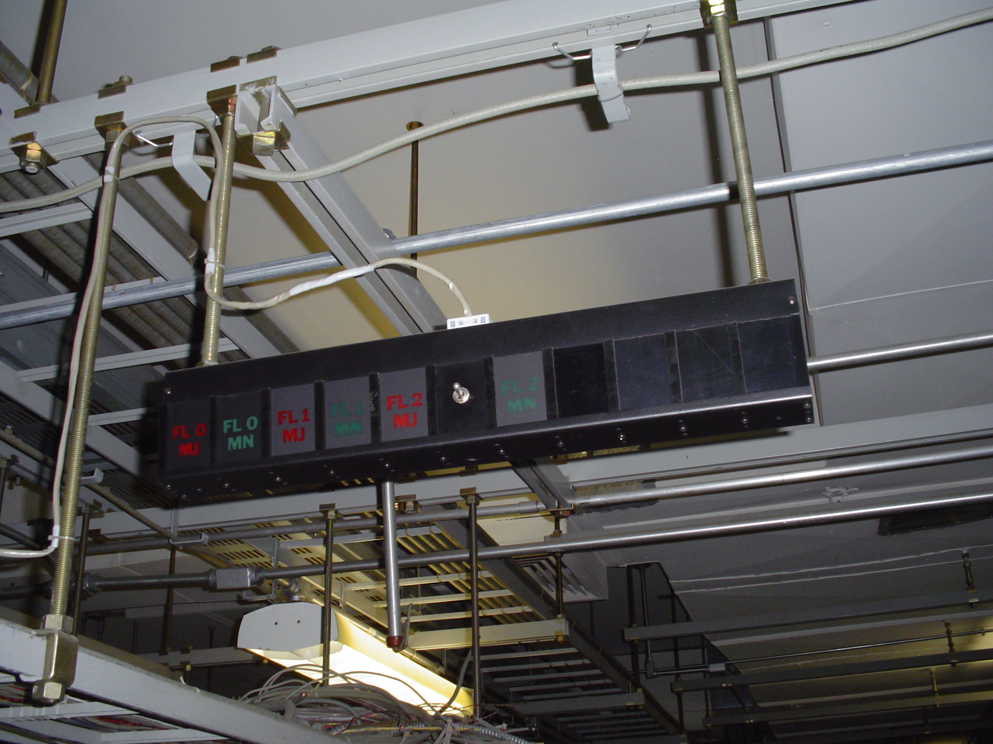
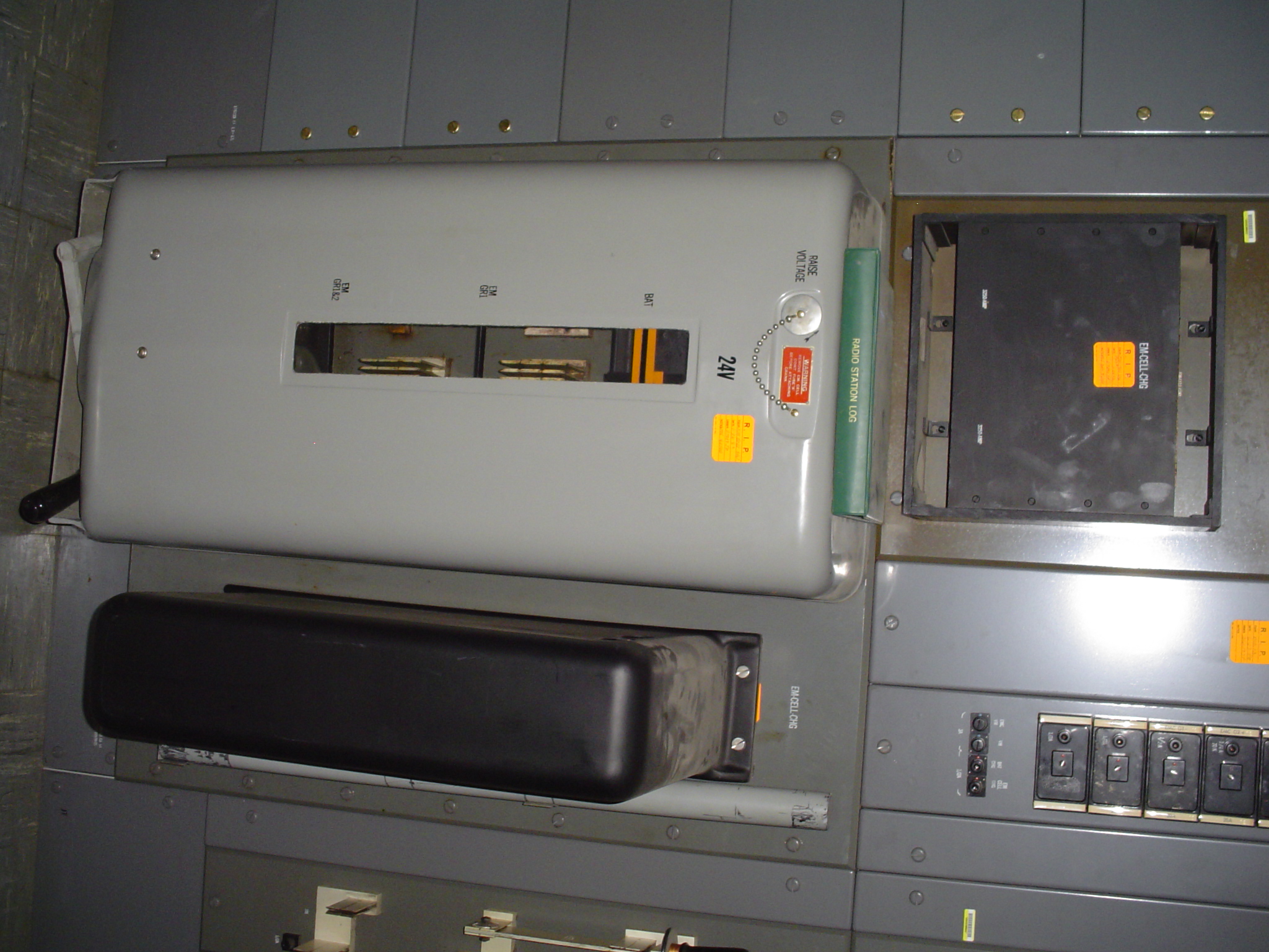
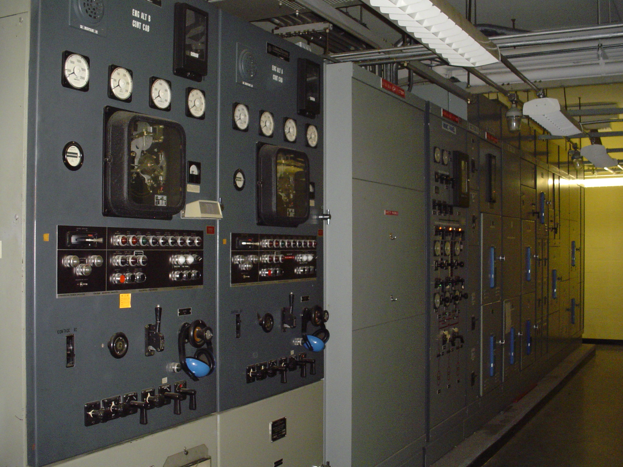
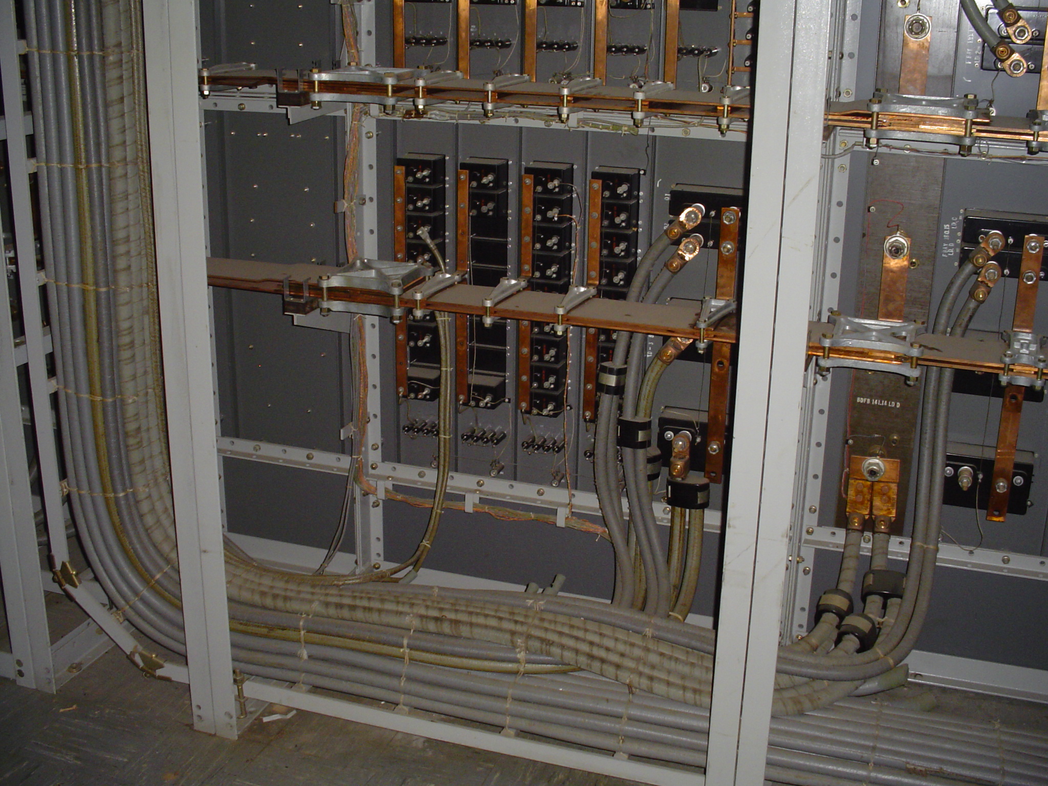
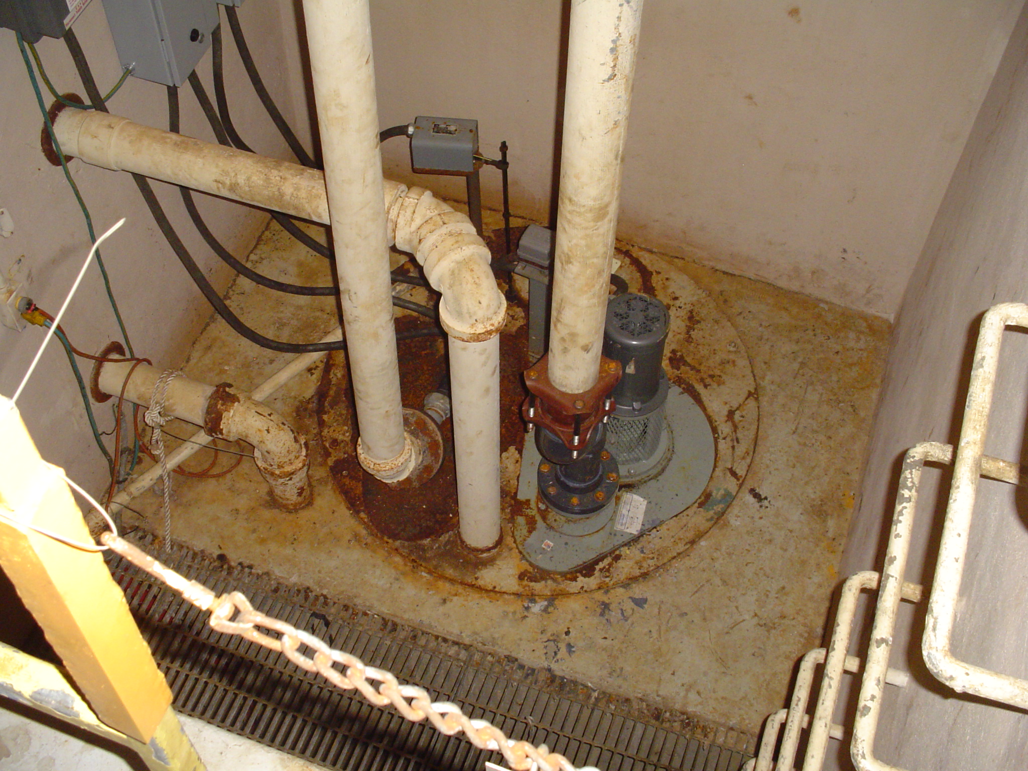
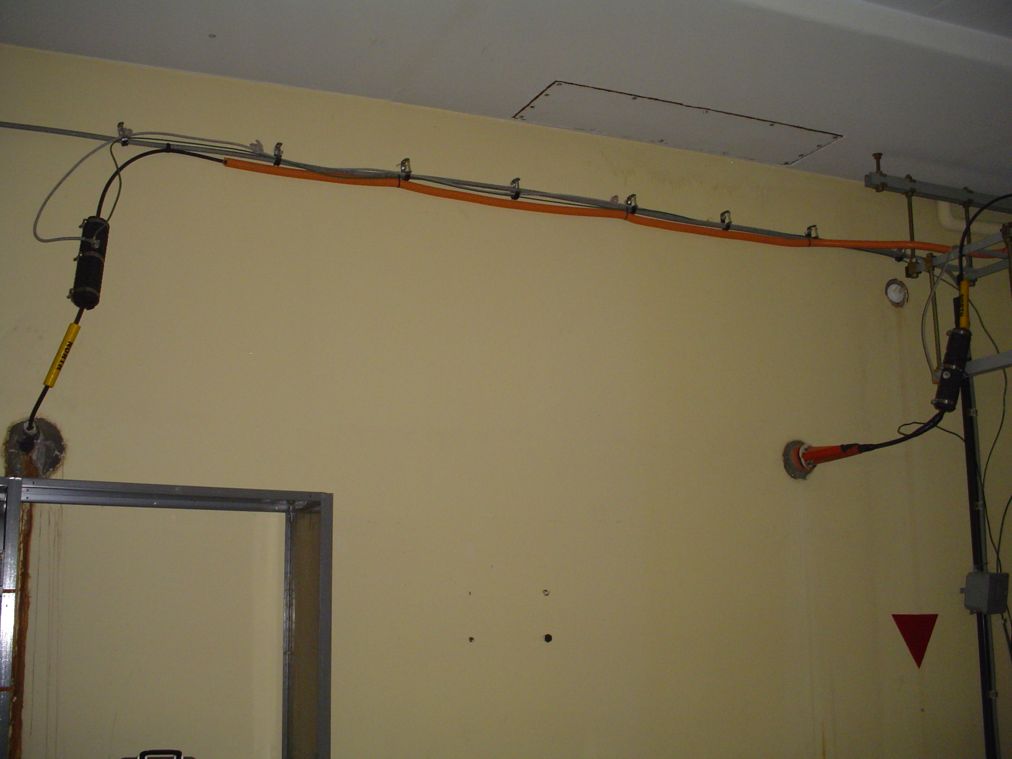
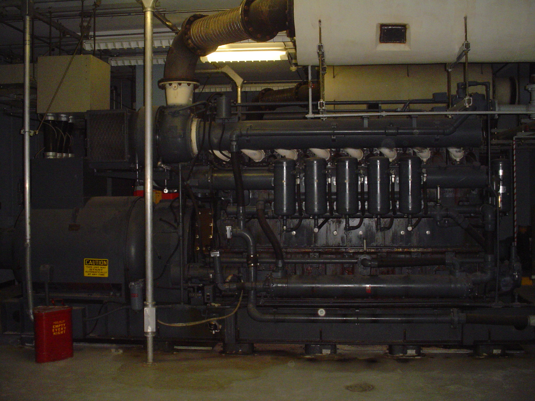
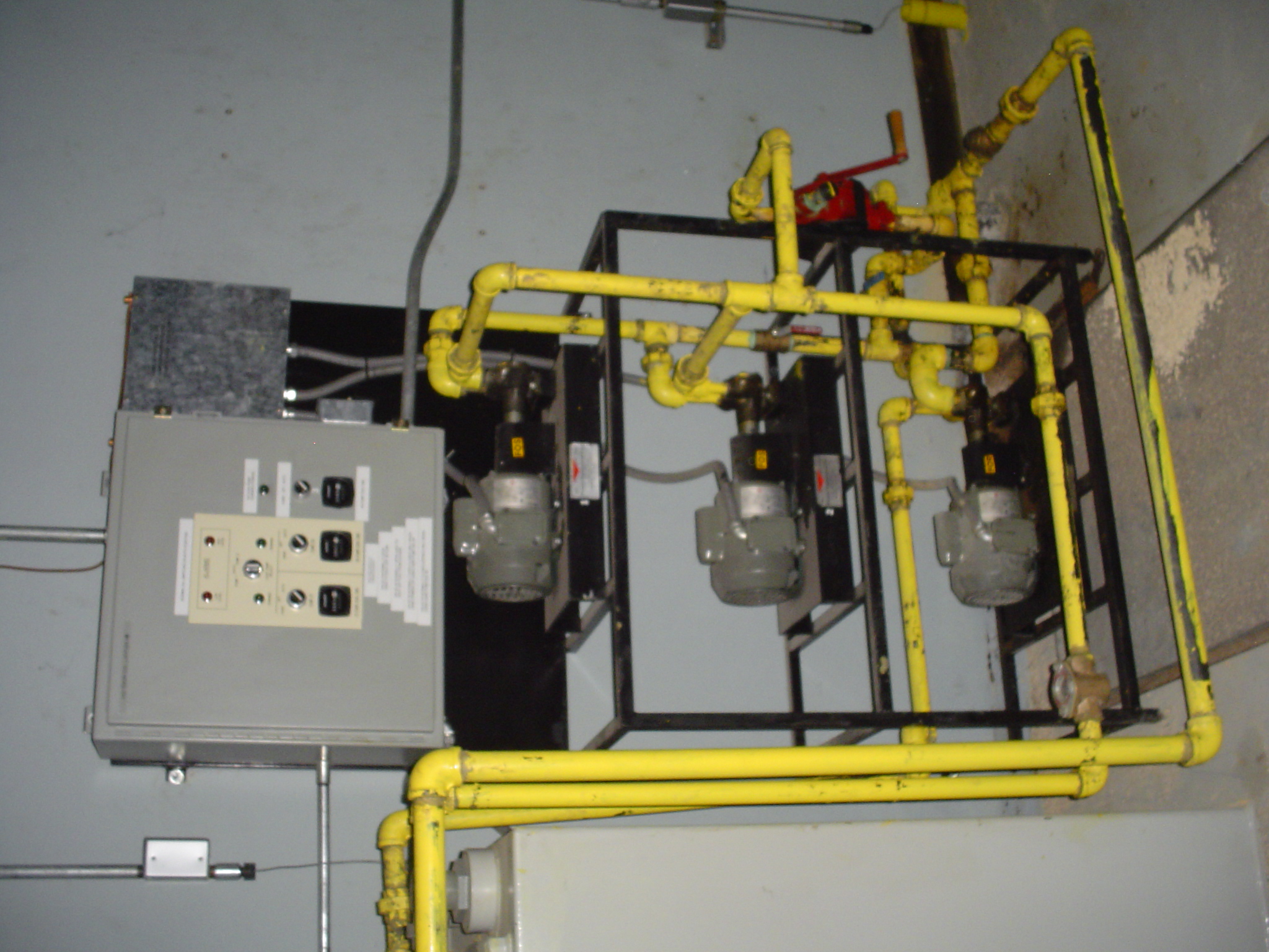
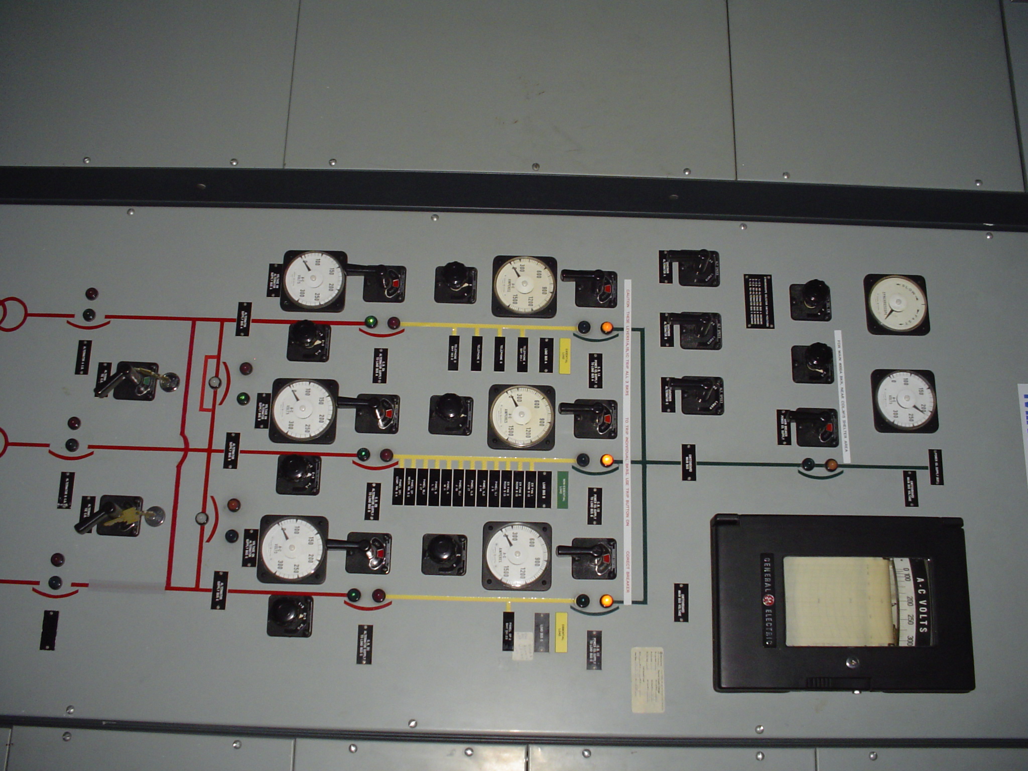
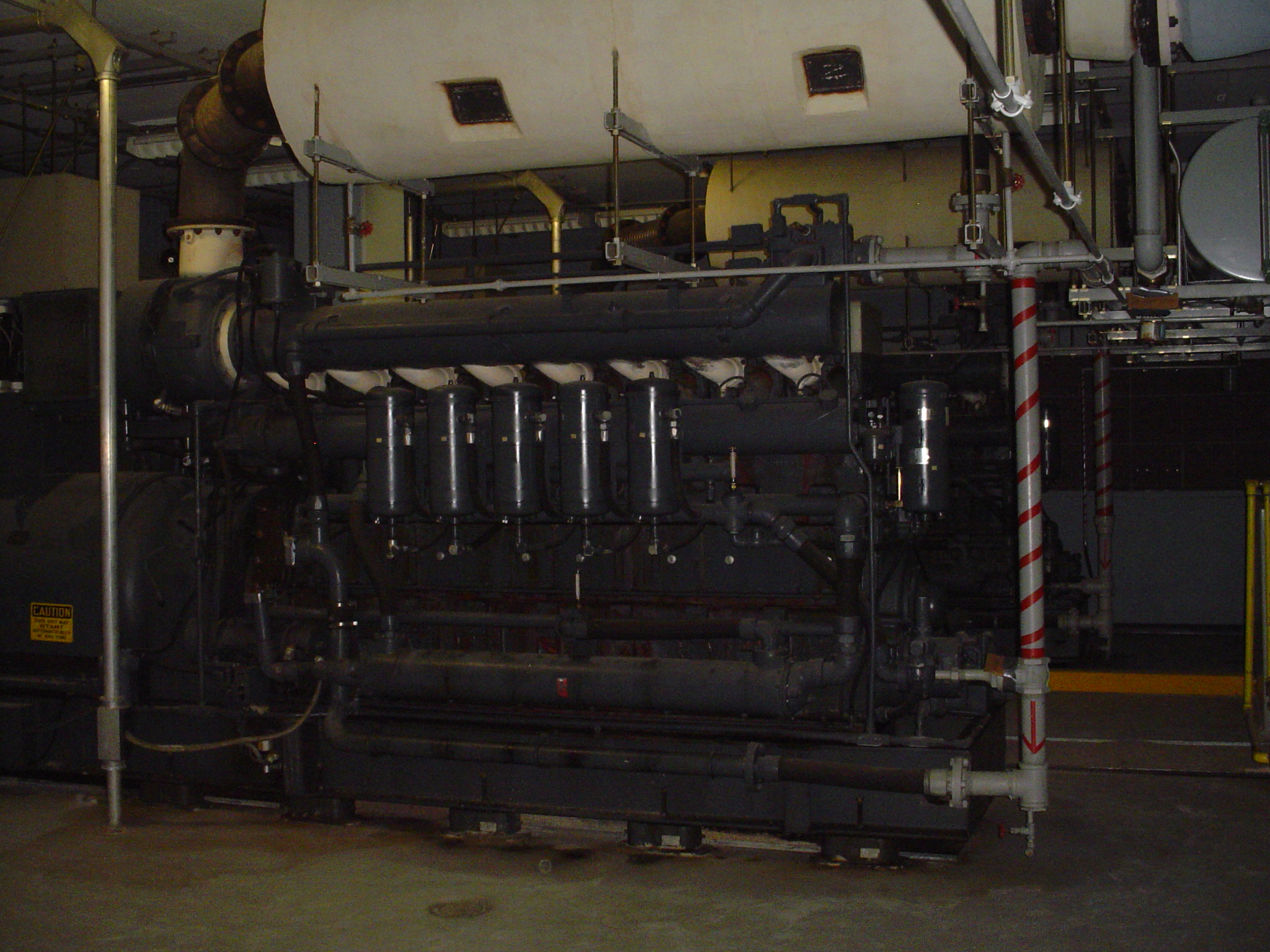
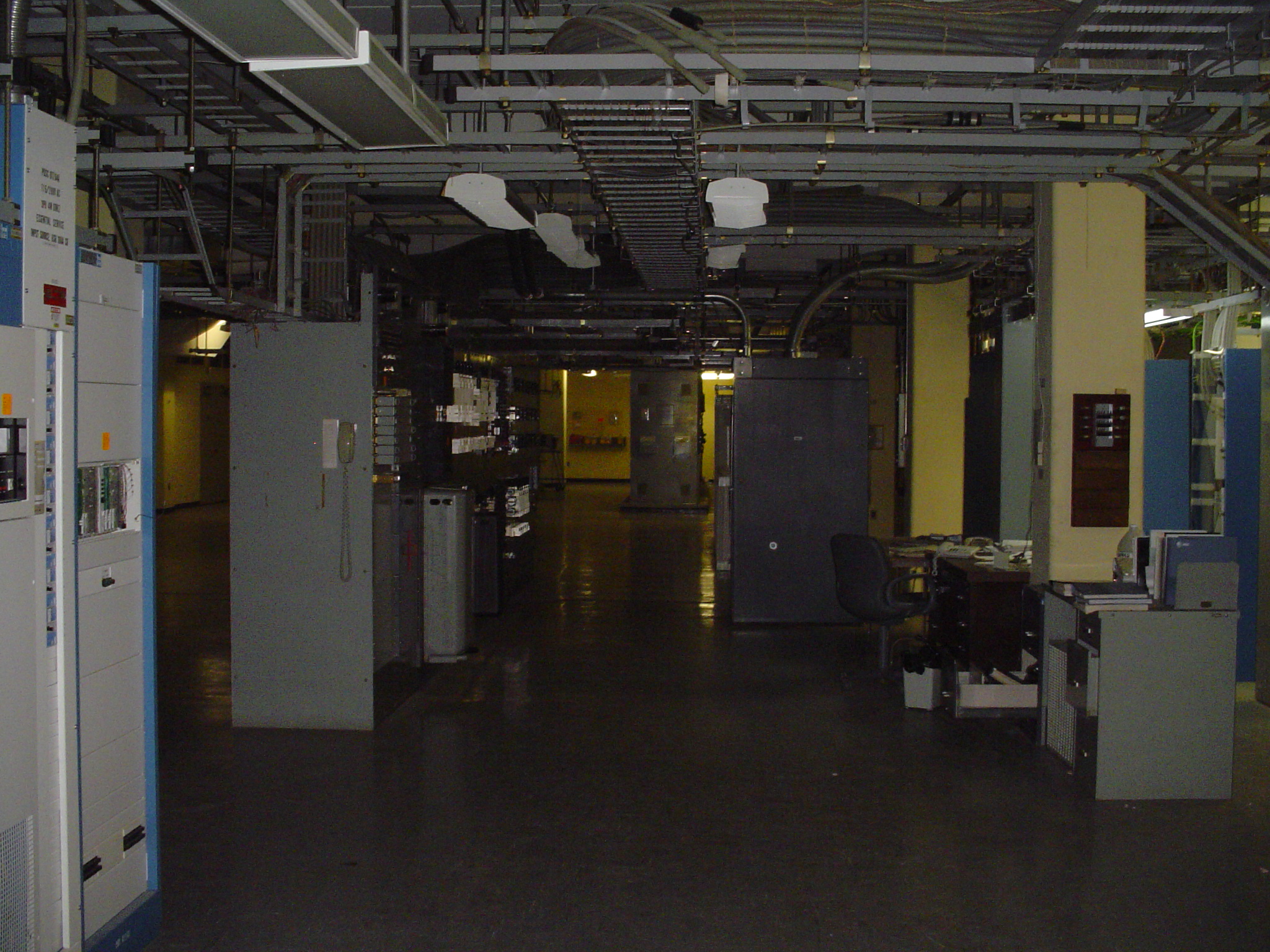
Ennis was a switching center on the AUTOVON military telephone network, a base station on the Echo-Fox presidential aircraft radio system, a main station on an L-carrier coaxial cable route, and a microwave junction station on a route that ran from Terrel to Seguin, and beyond to Mexico.
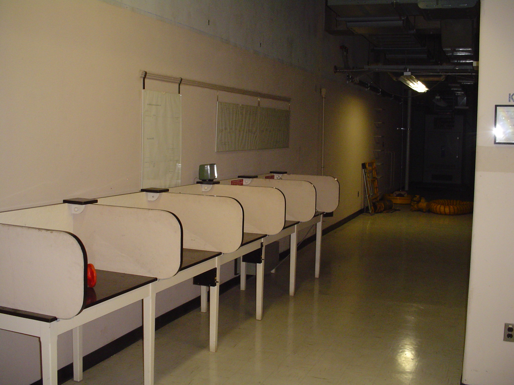
Ennis was also an OSPS operator site, housing long-distance operators. That function was shut down around 2003.
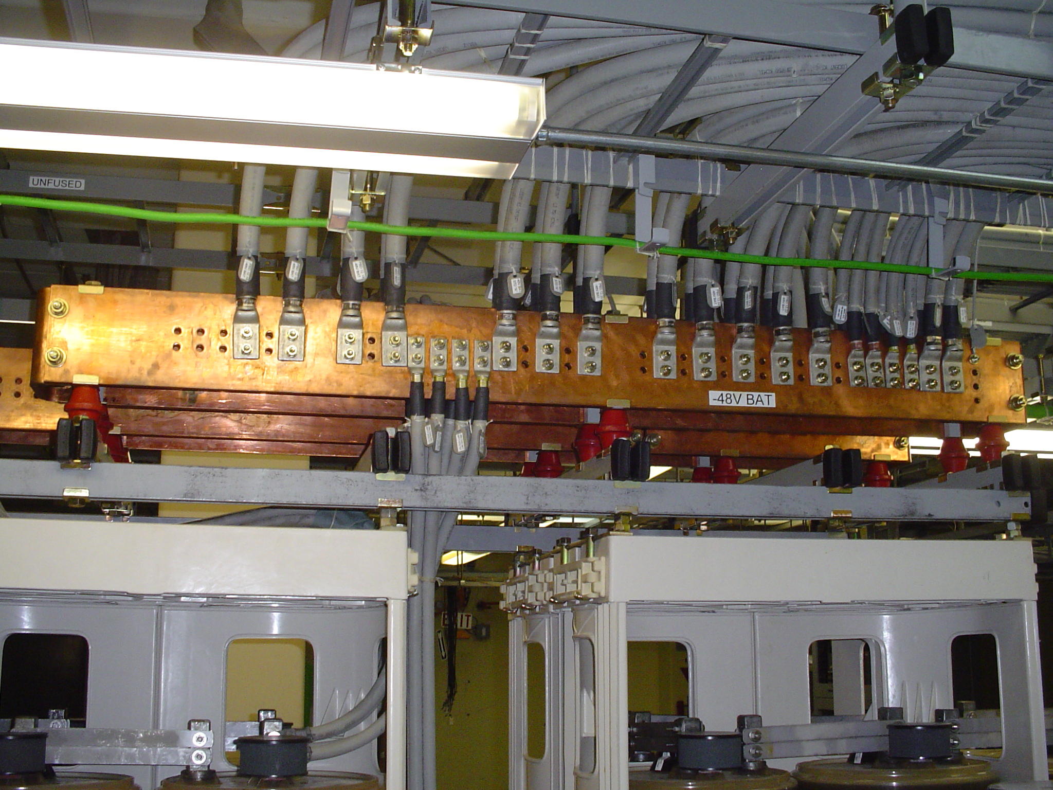
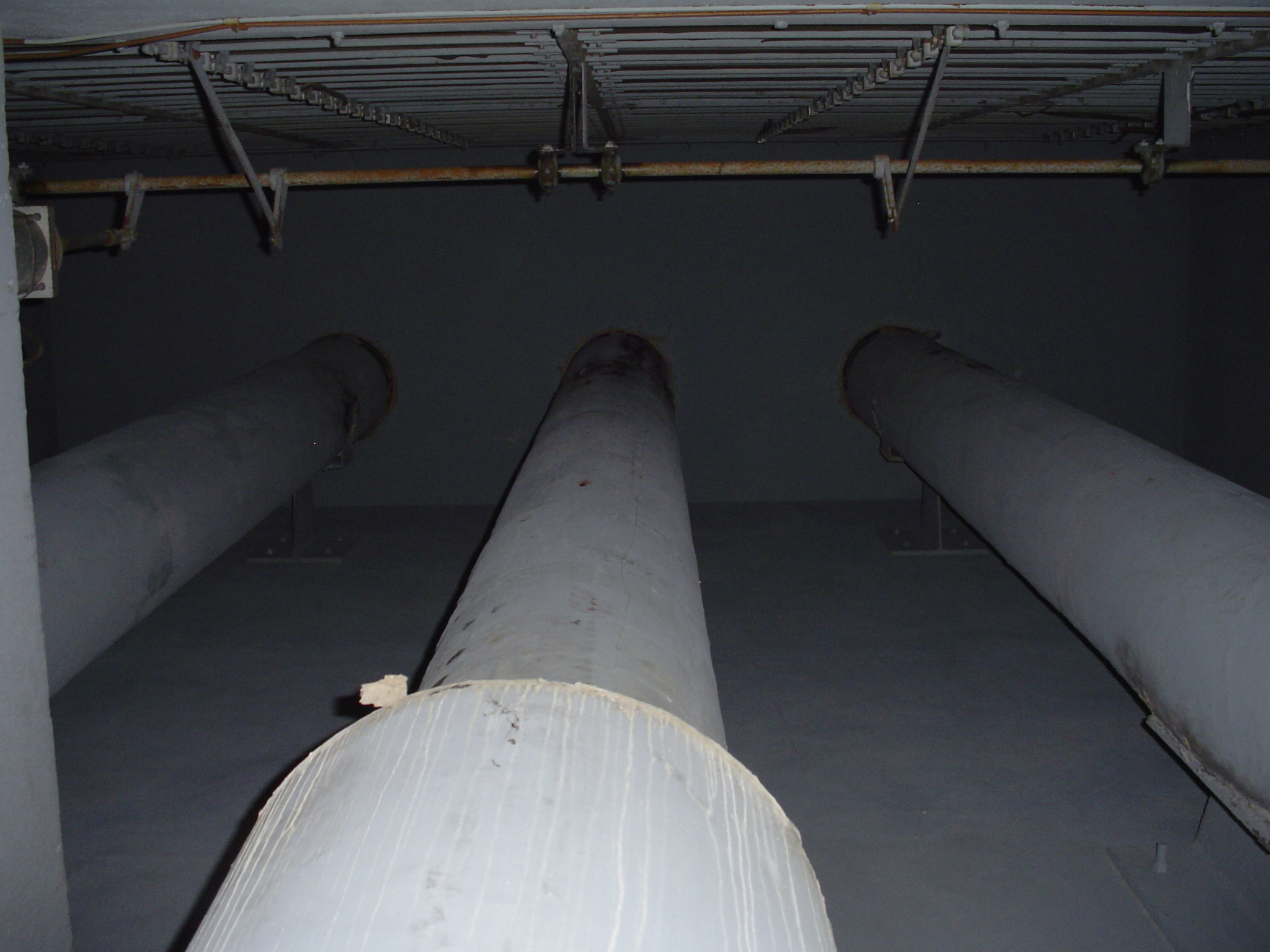
A schematic dated 11-14-74 shows an L-3 Dallas-Houston coaxial cable route passing through this station. A later "Spring Maintenance Area" document shows this as an L-5 route.
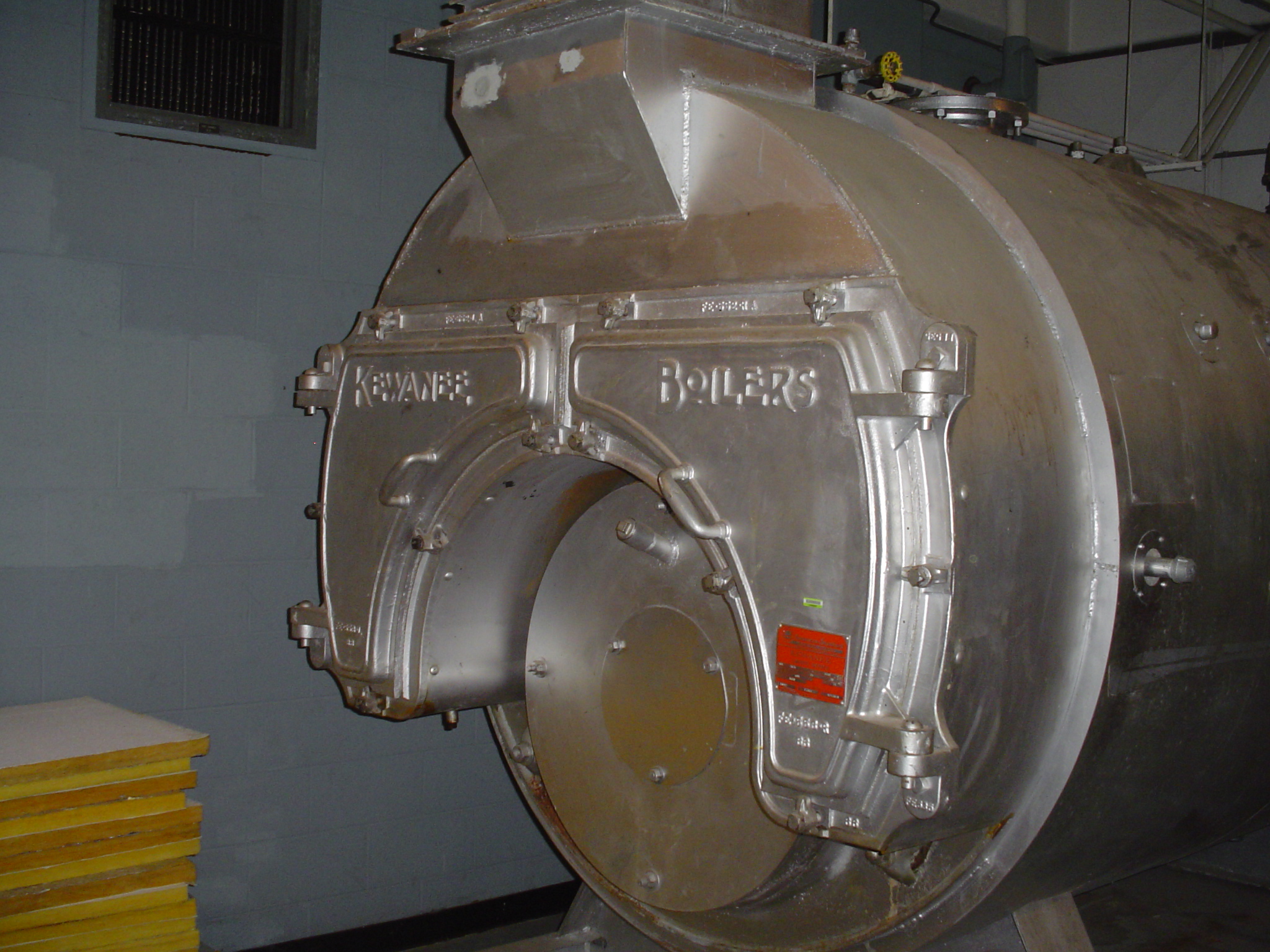
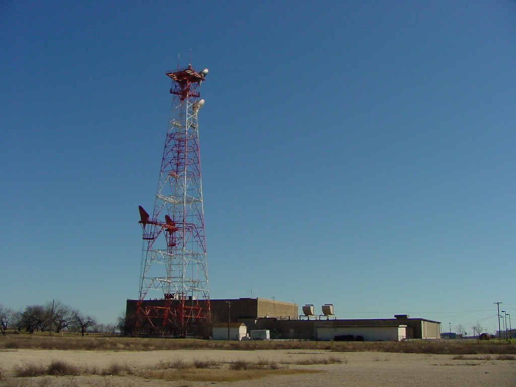
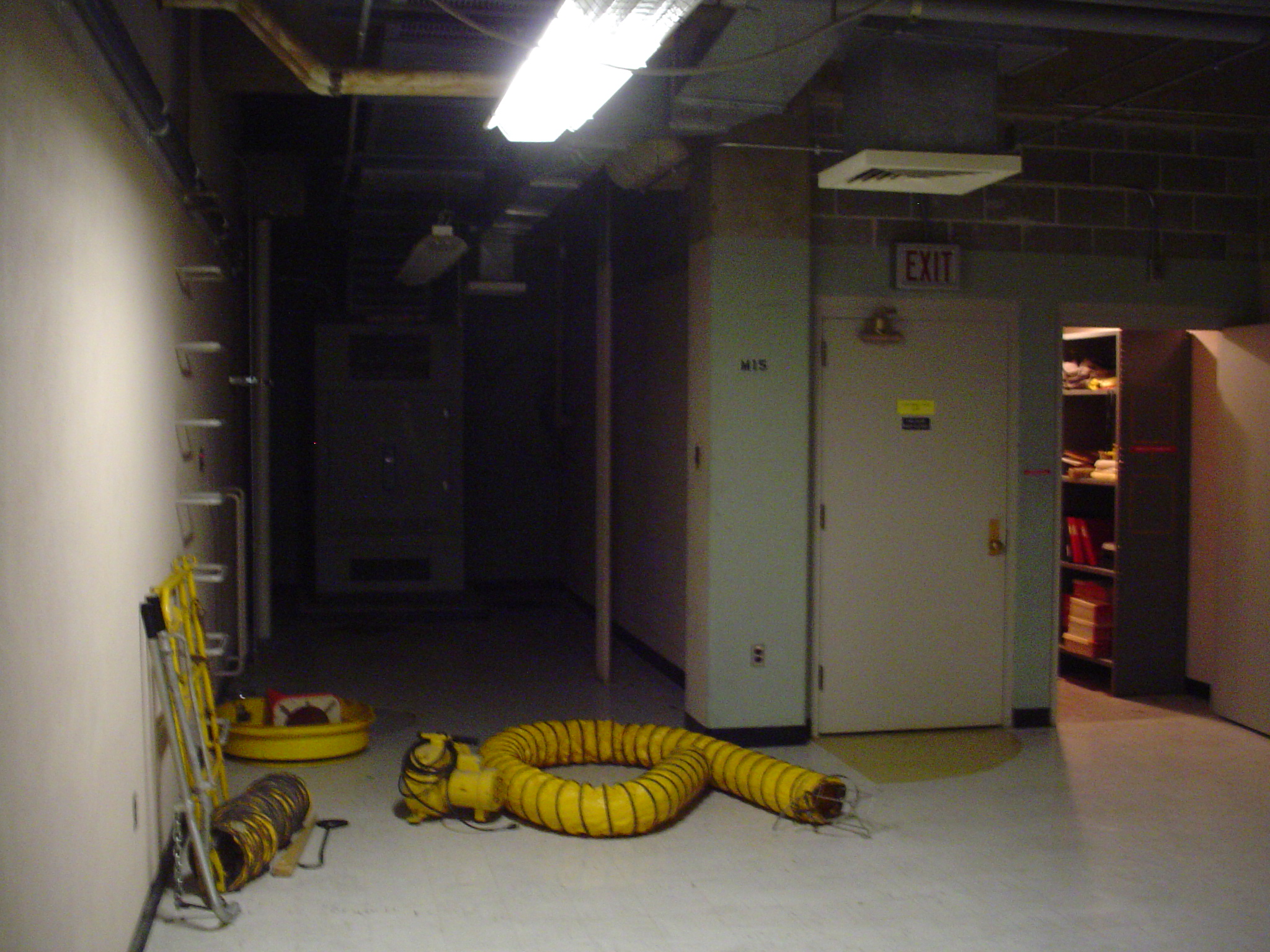
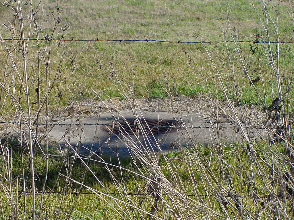
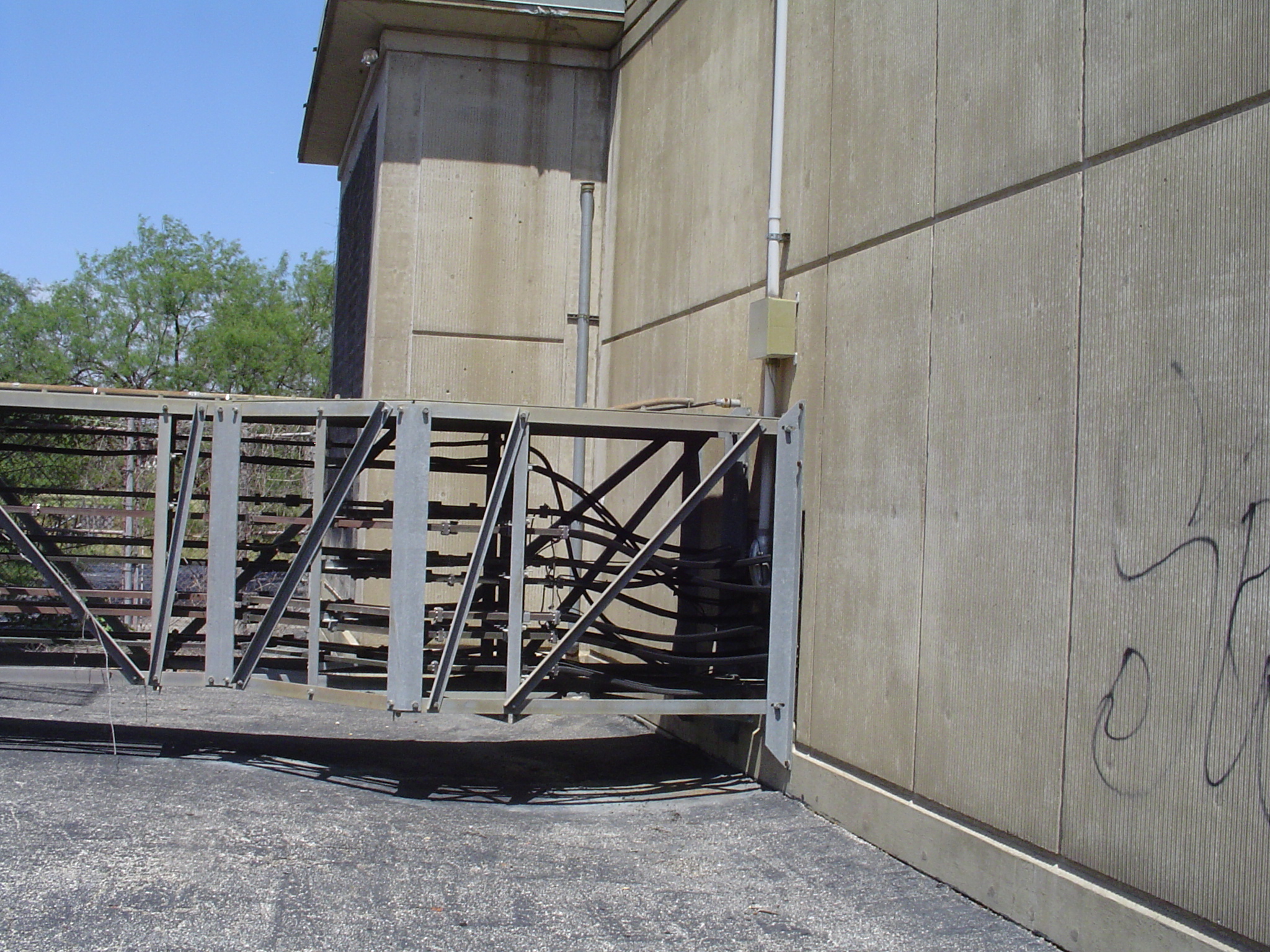
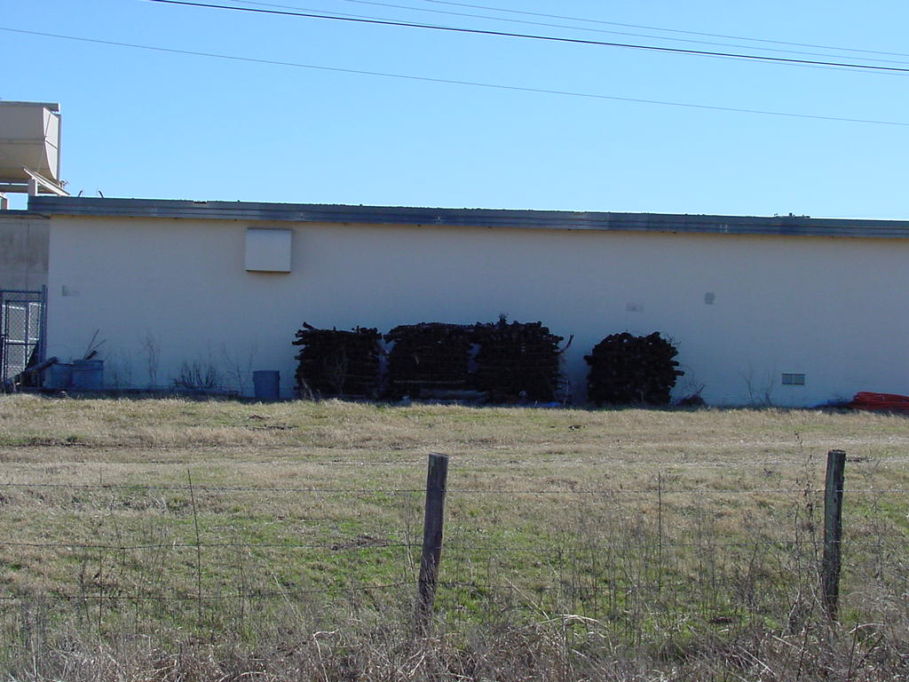
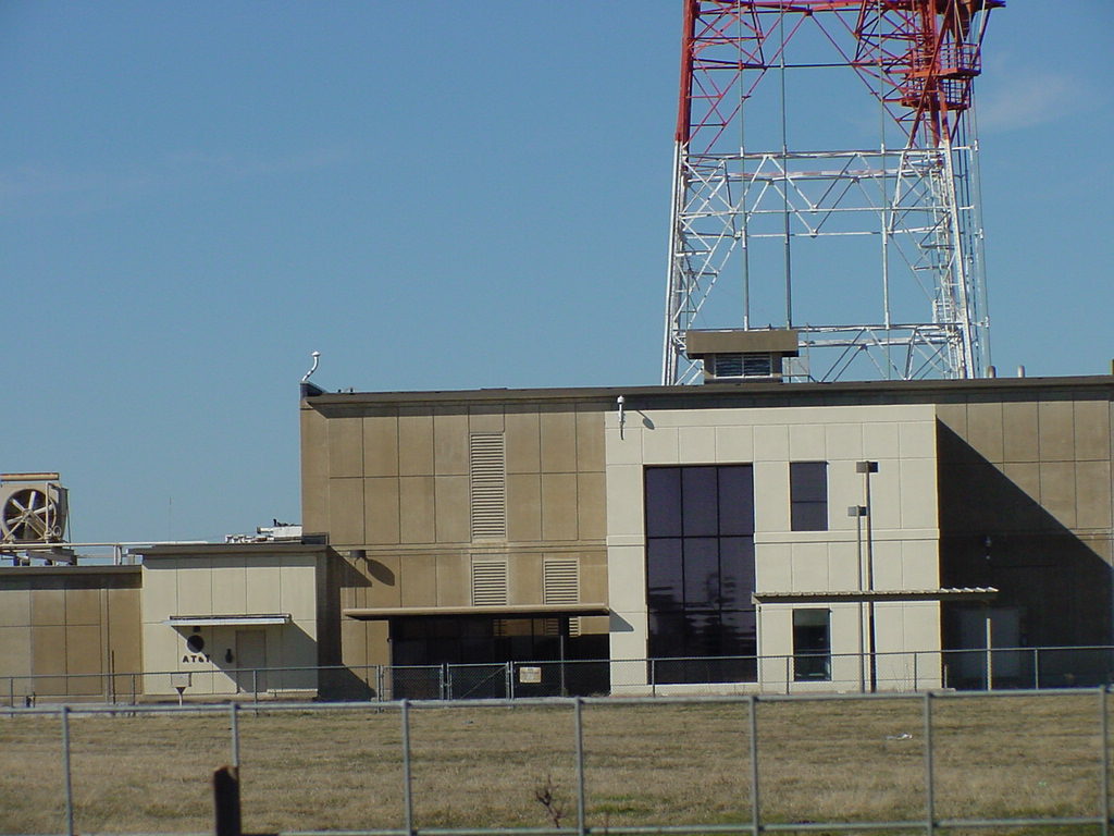
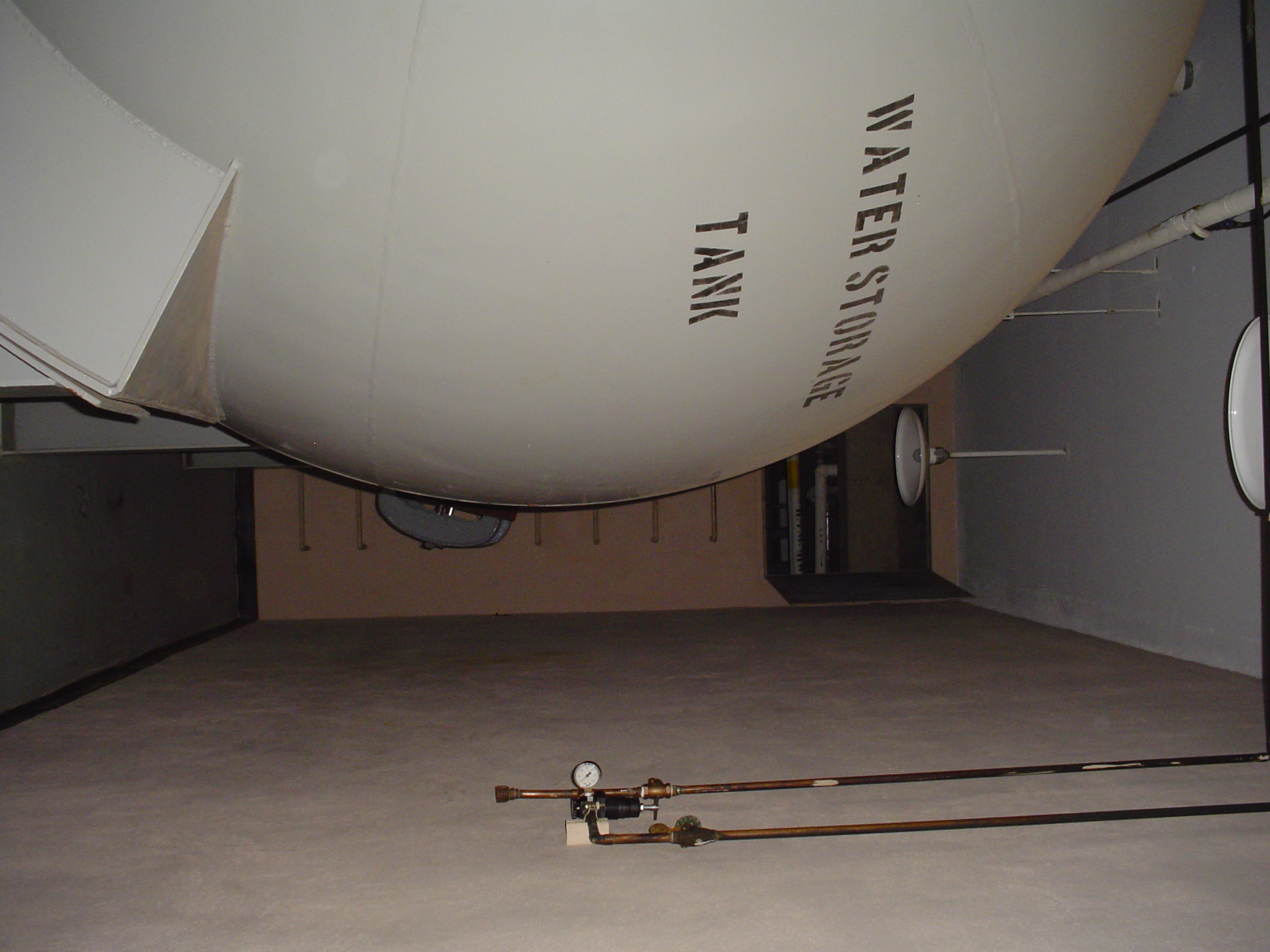
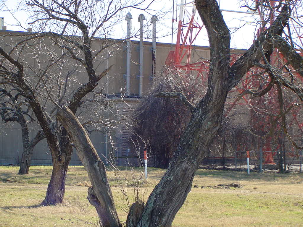
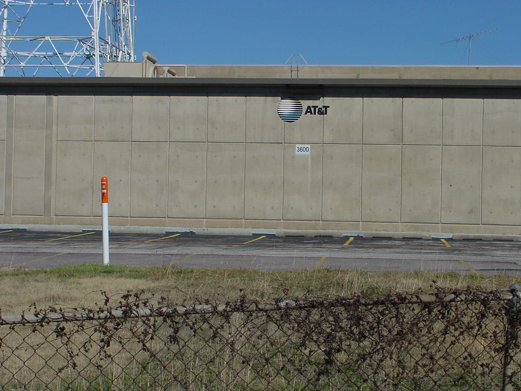
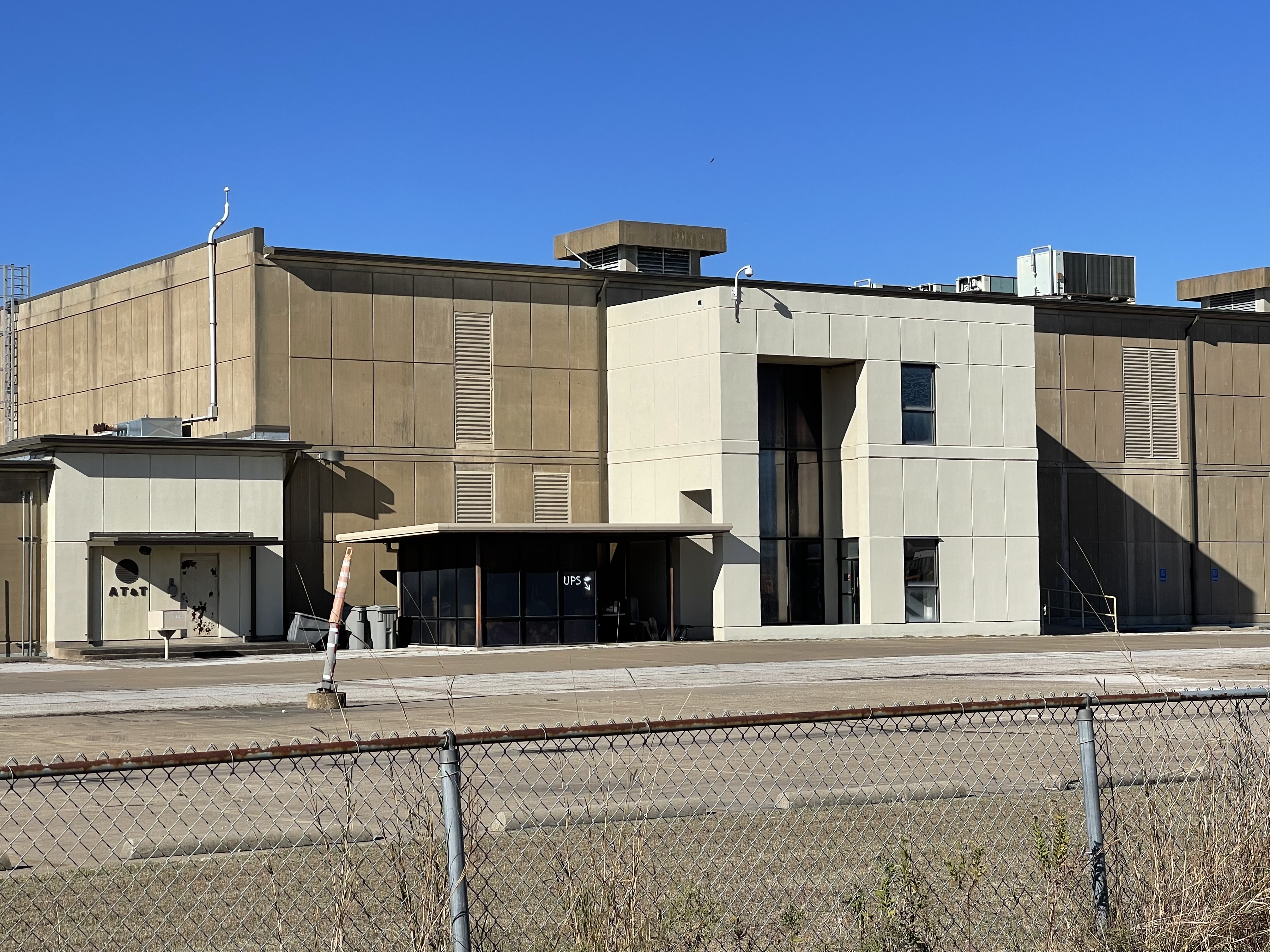
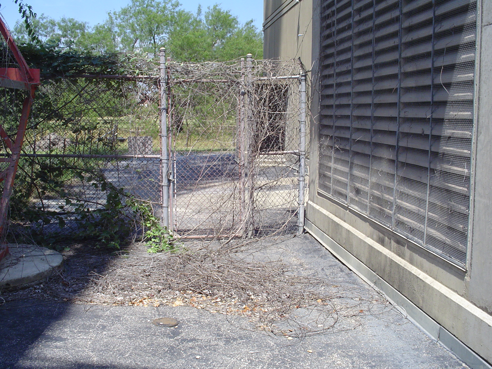
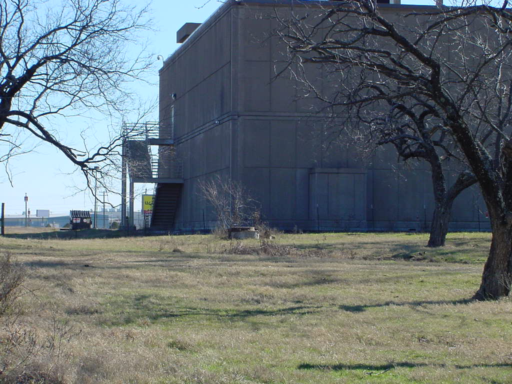
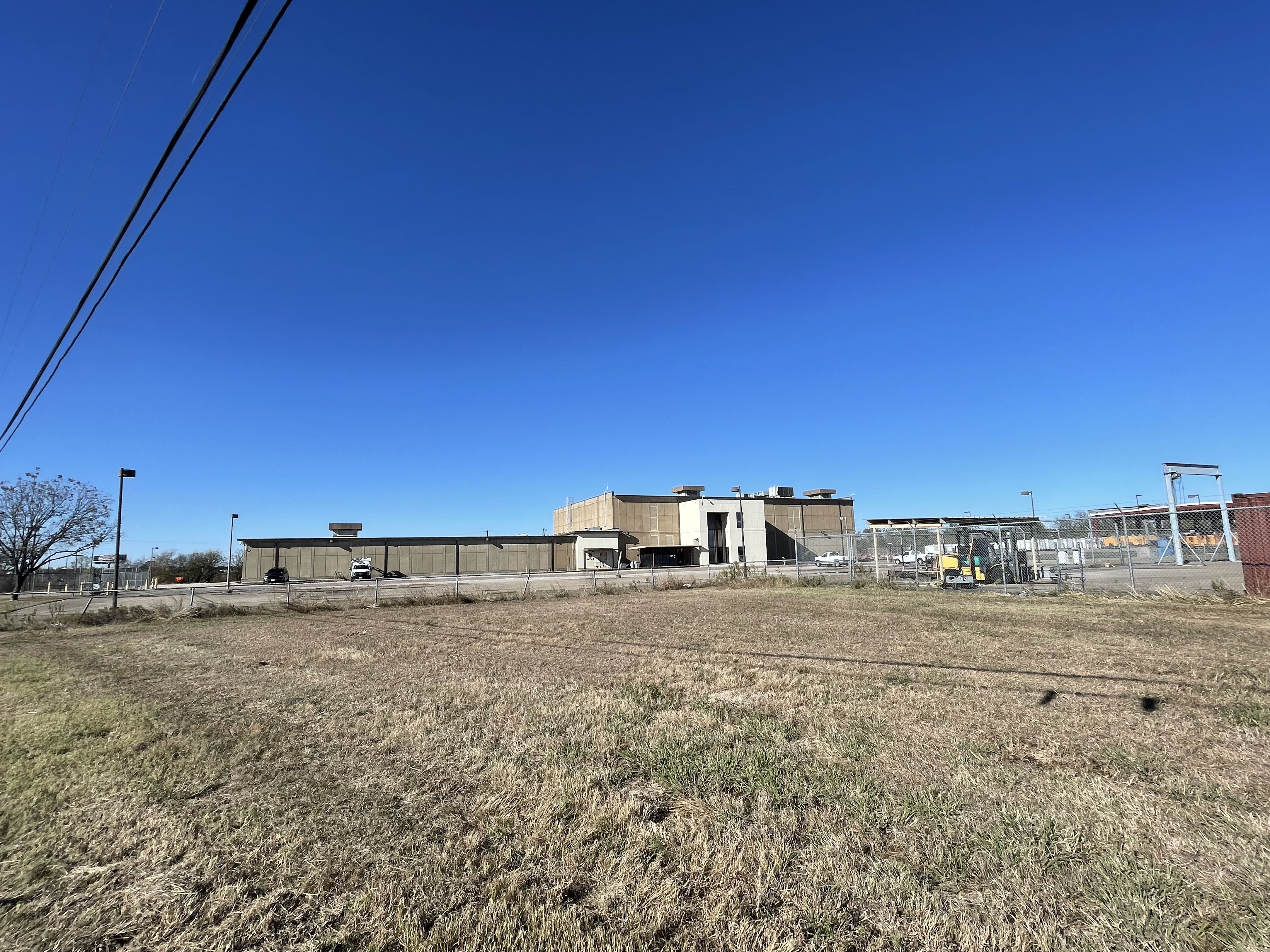
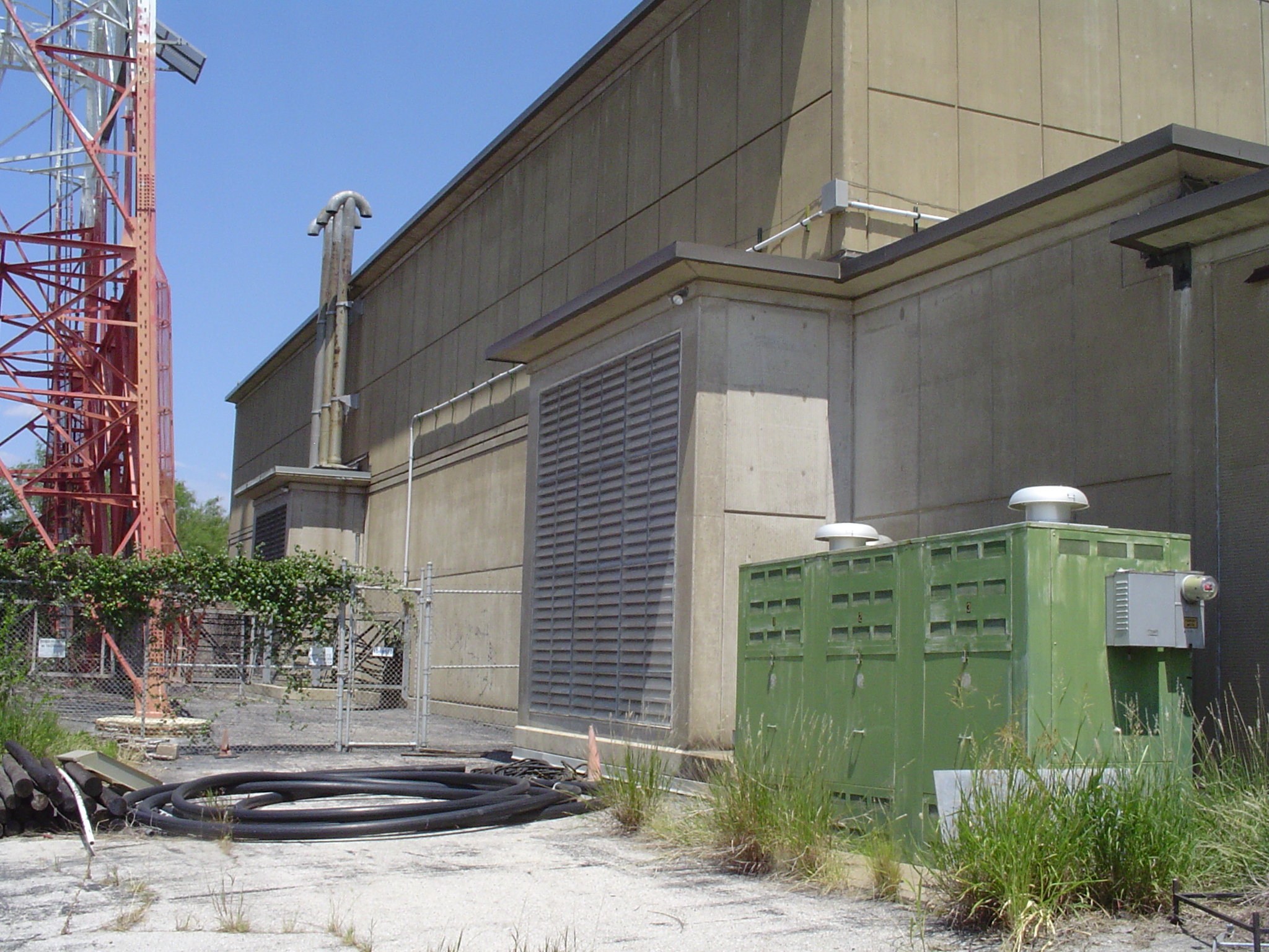
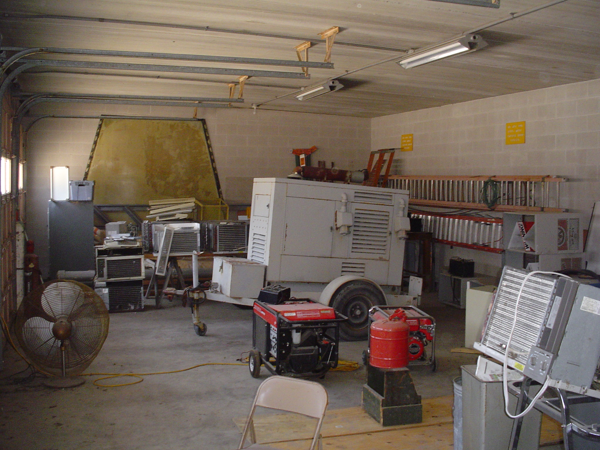
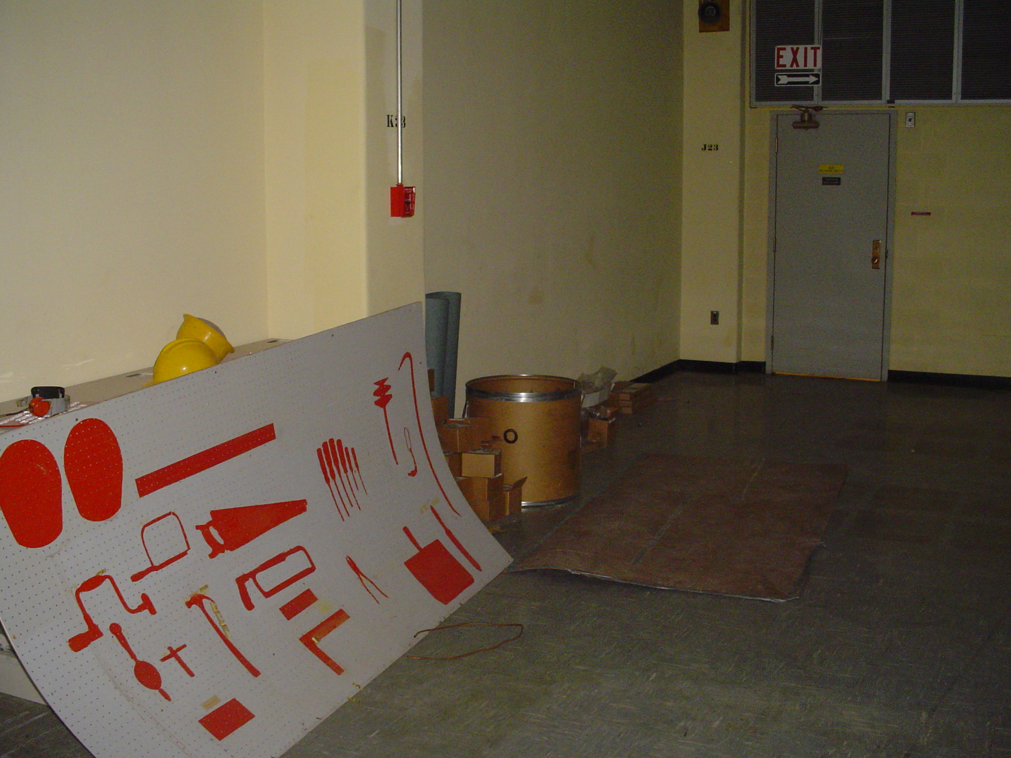
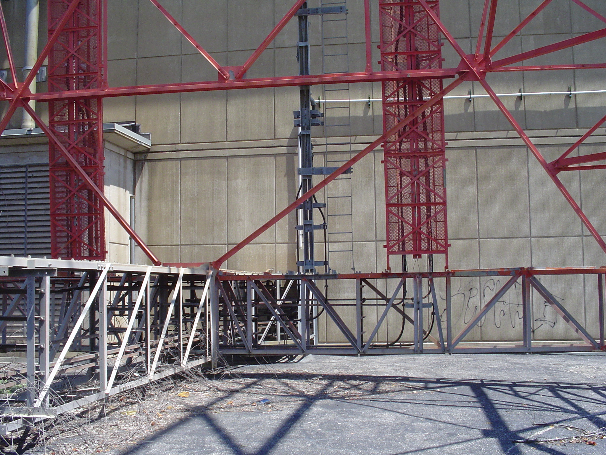
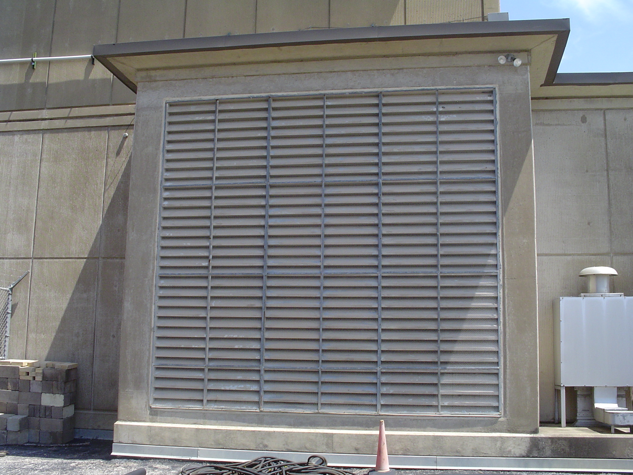
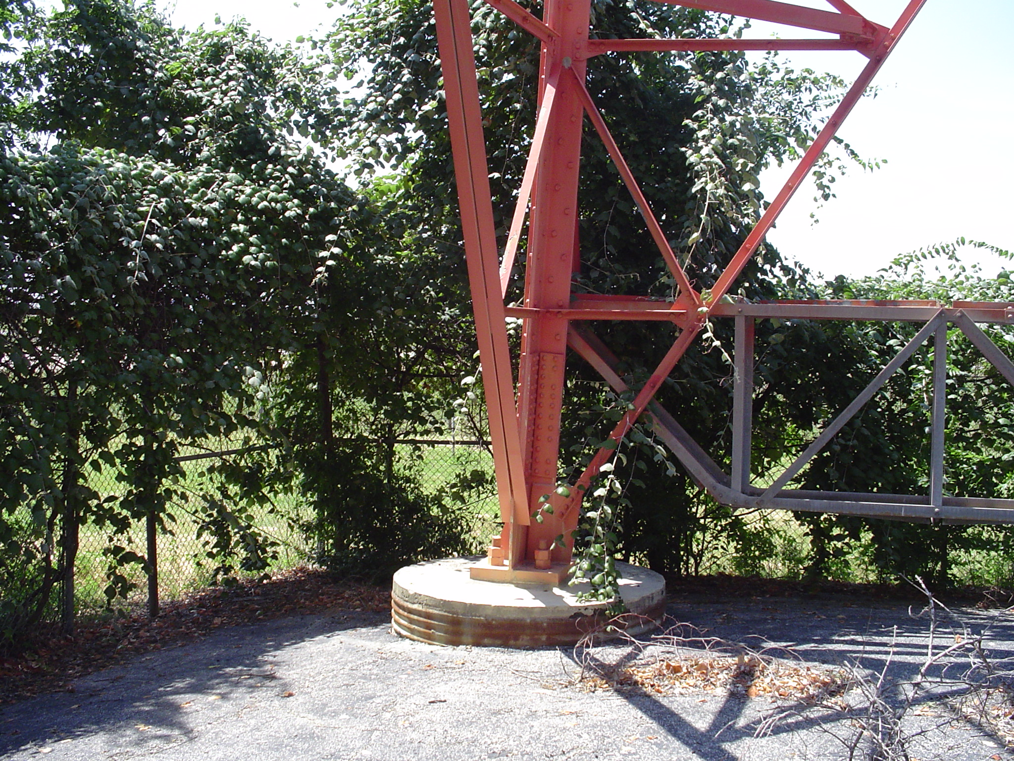
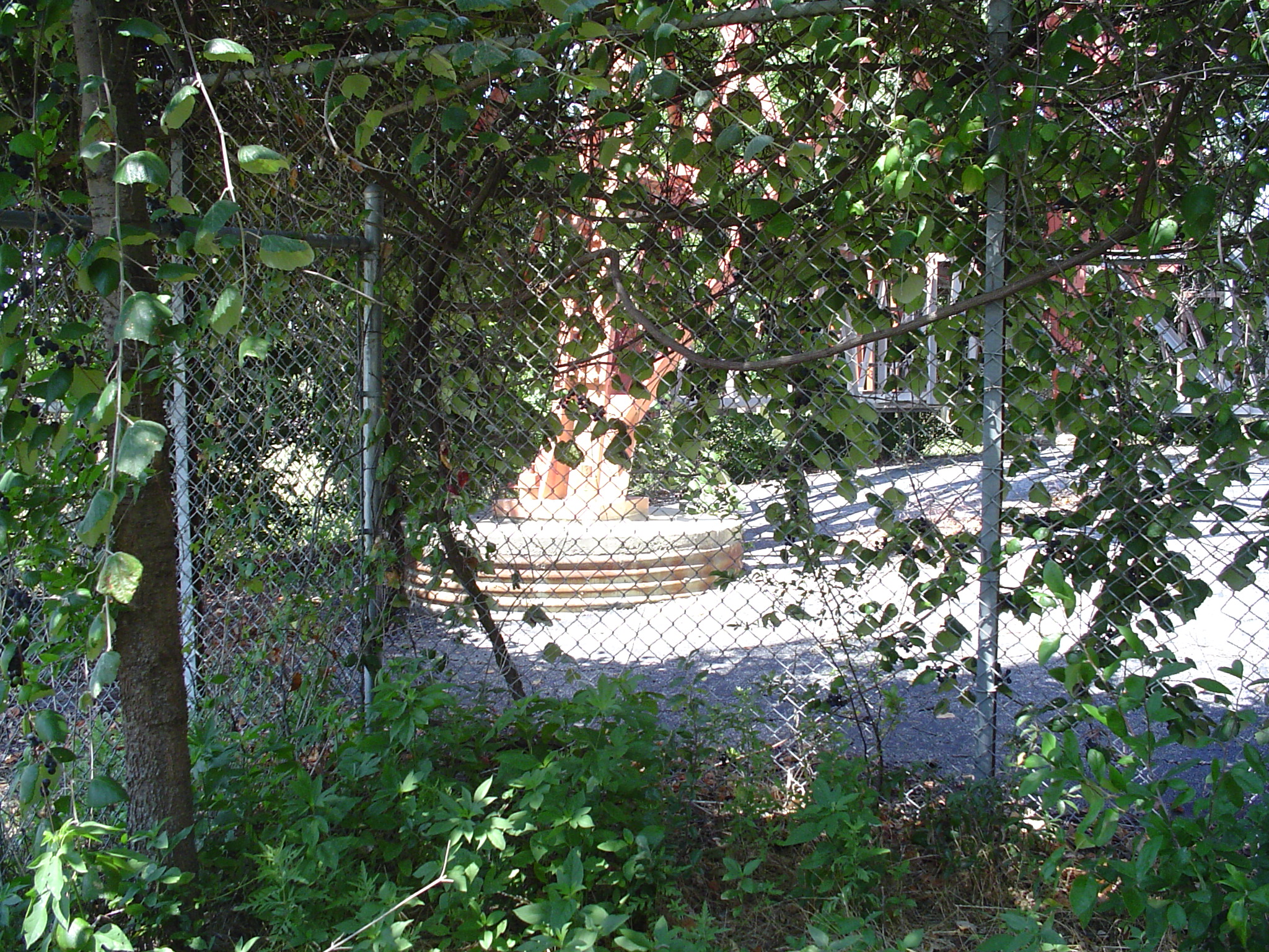
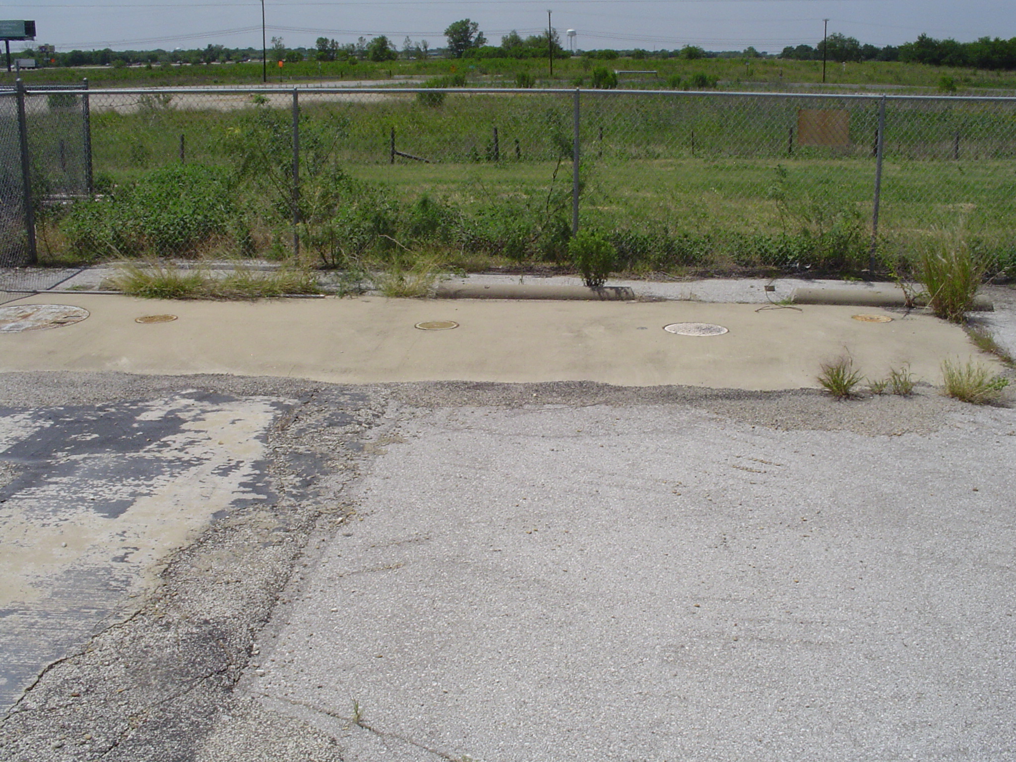
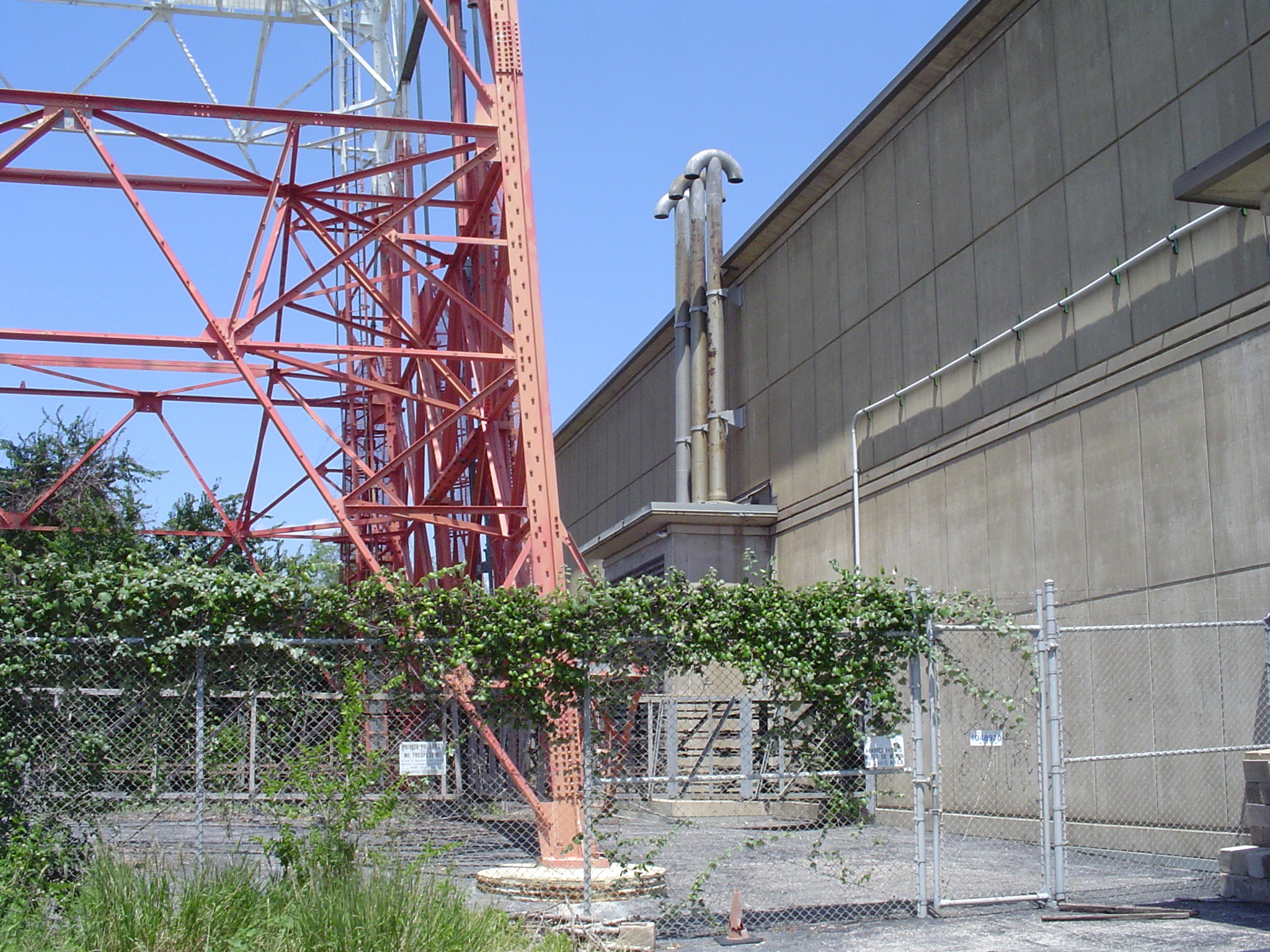
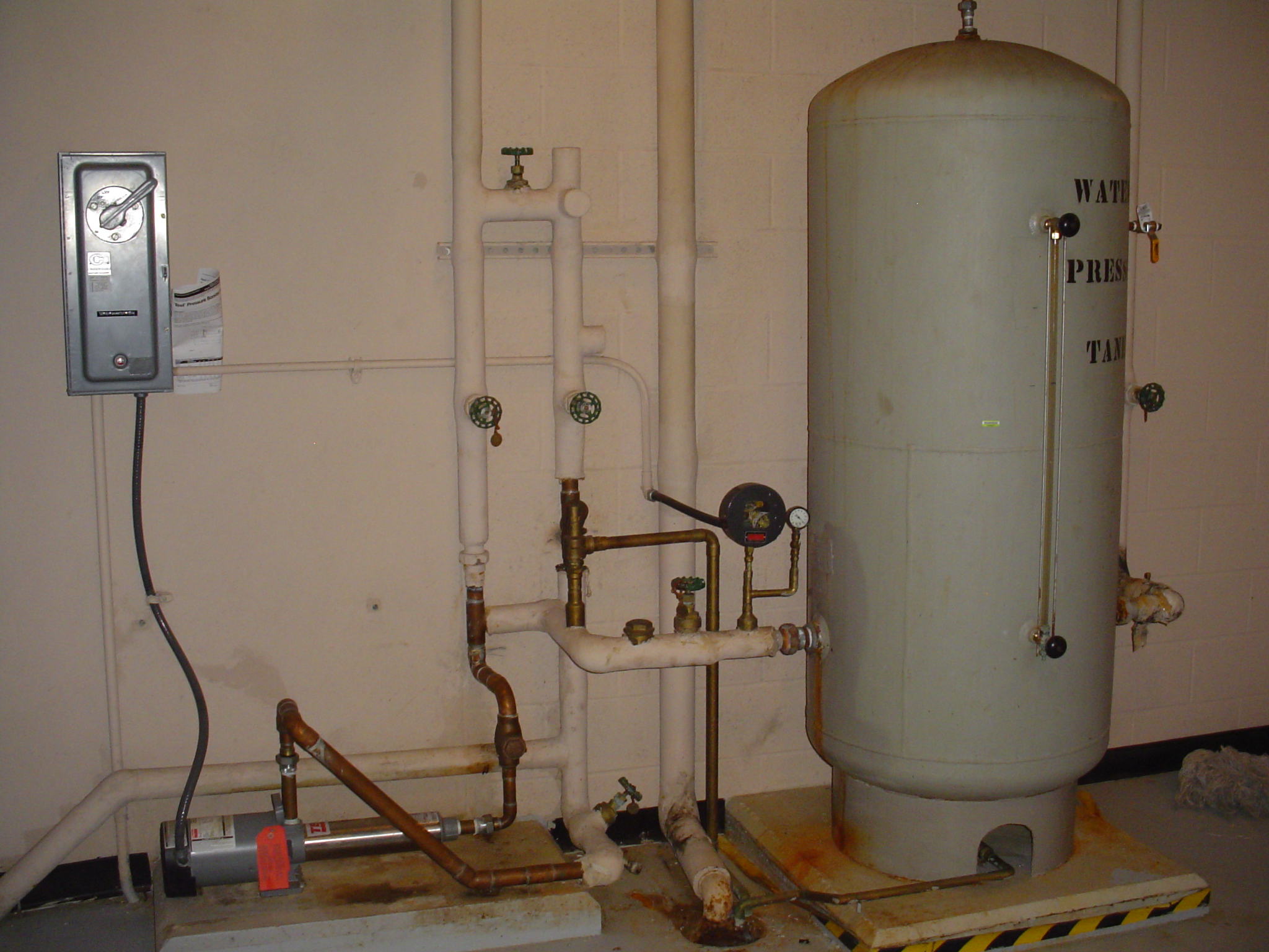
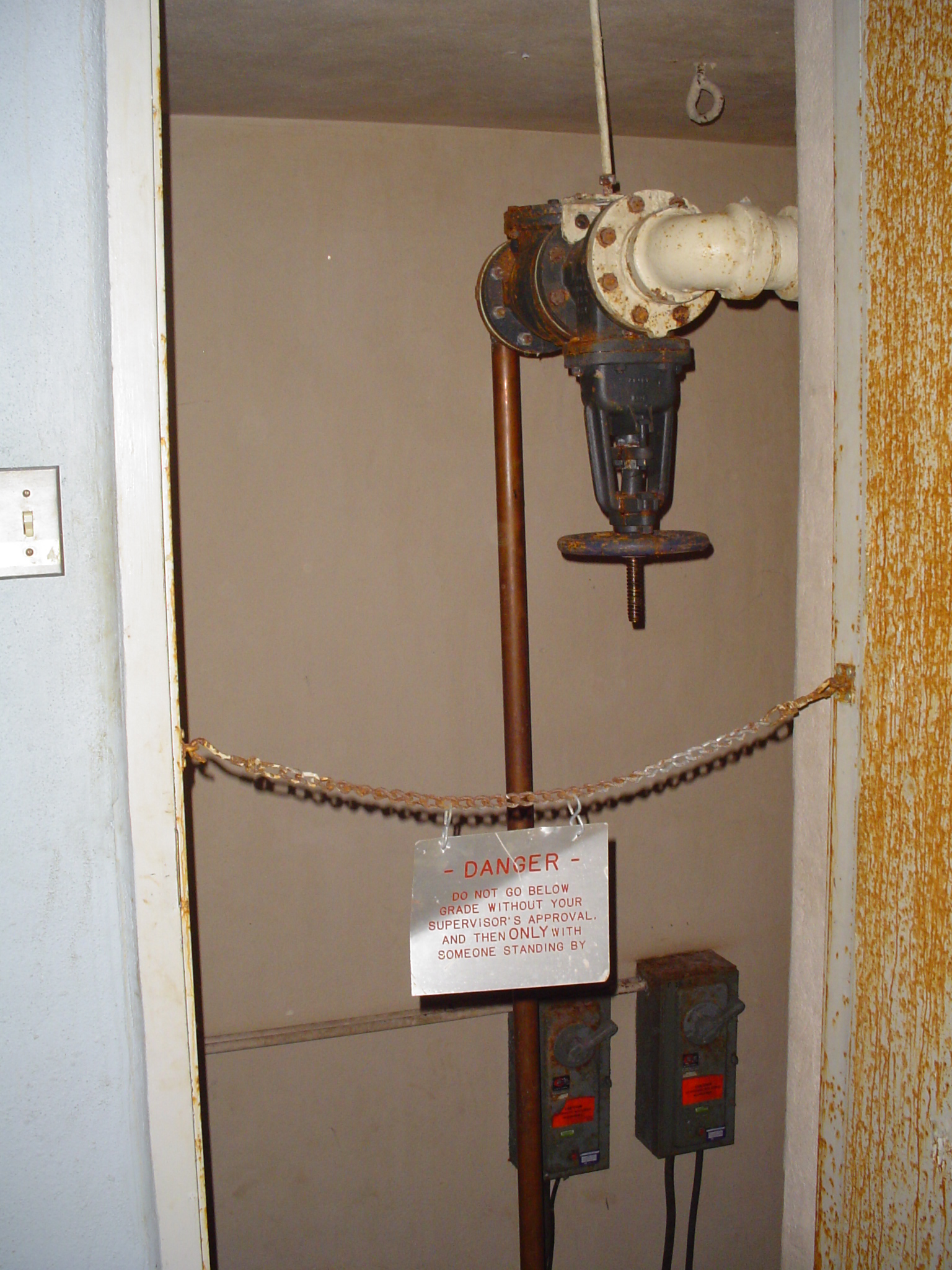
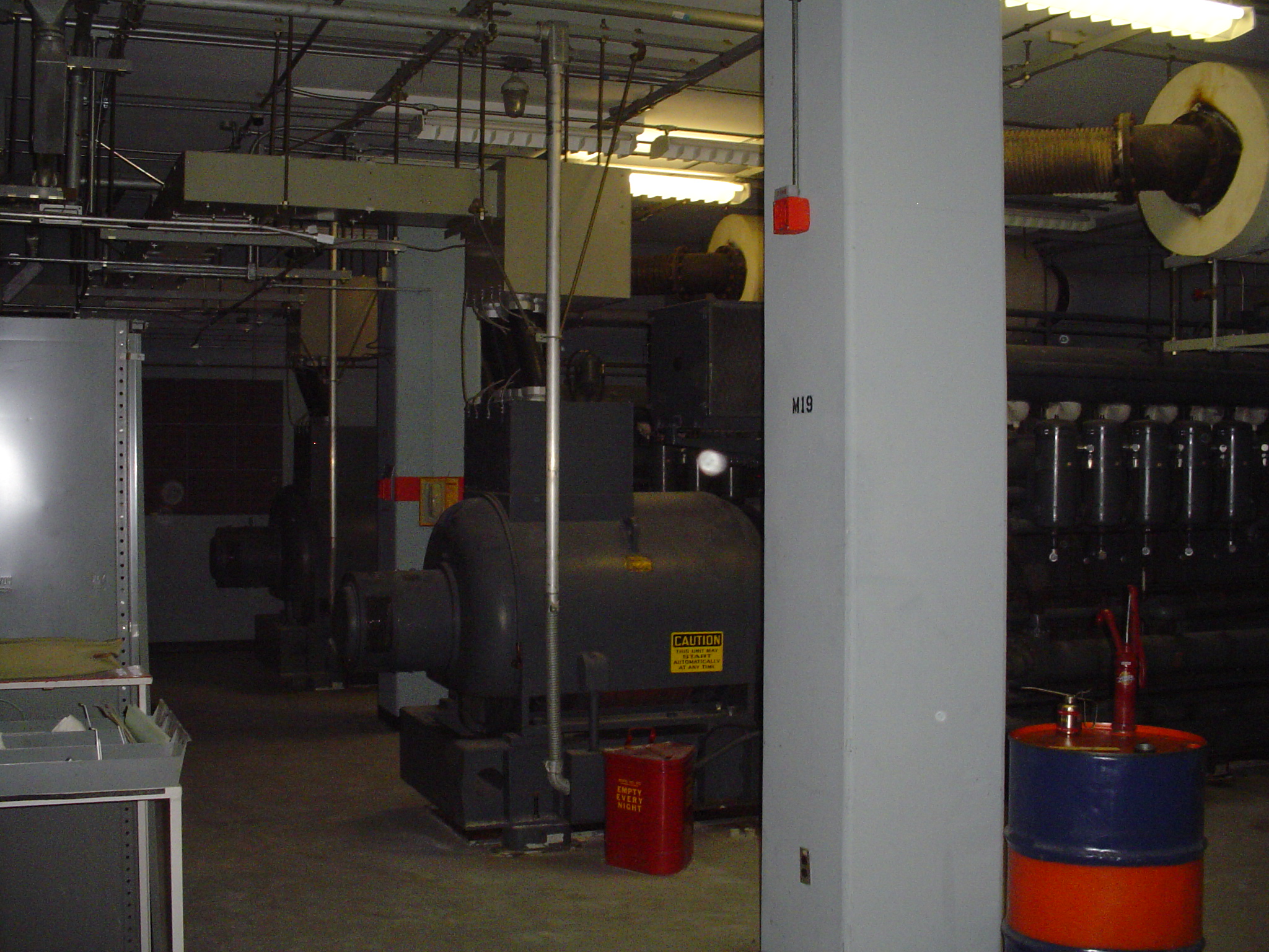
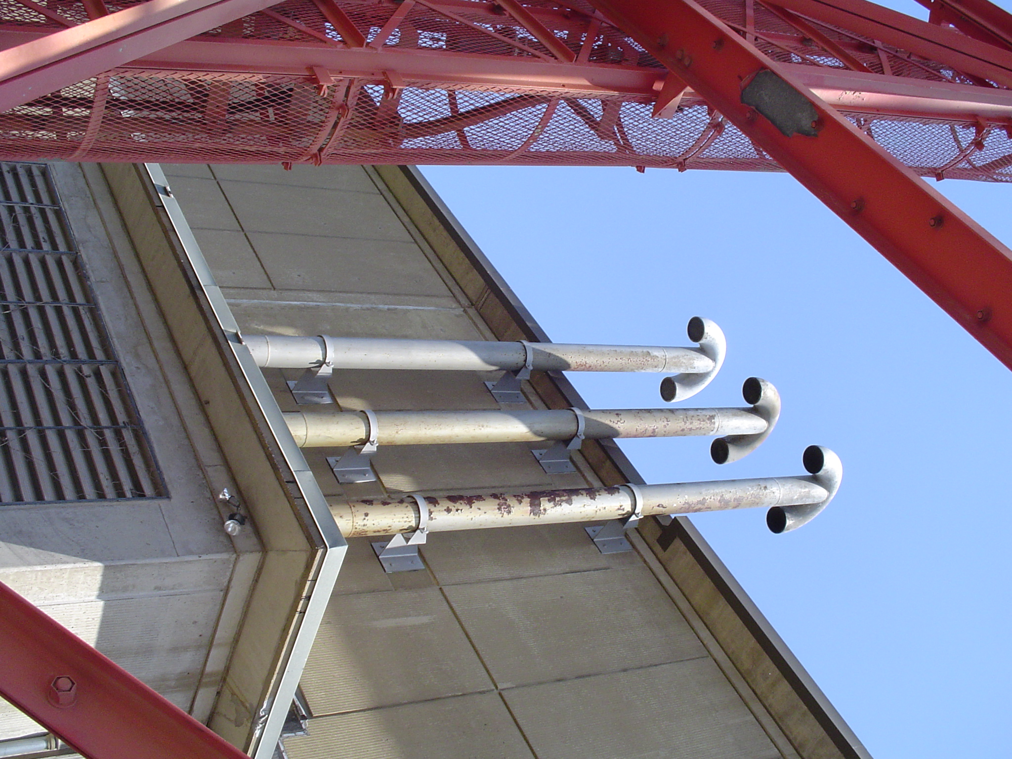
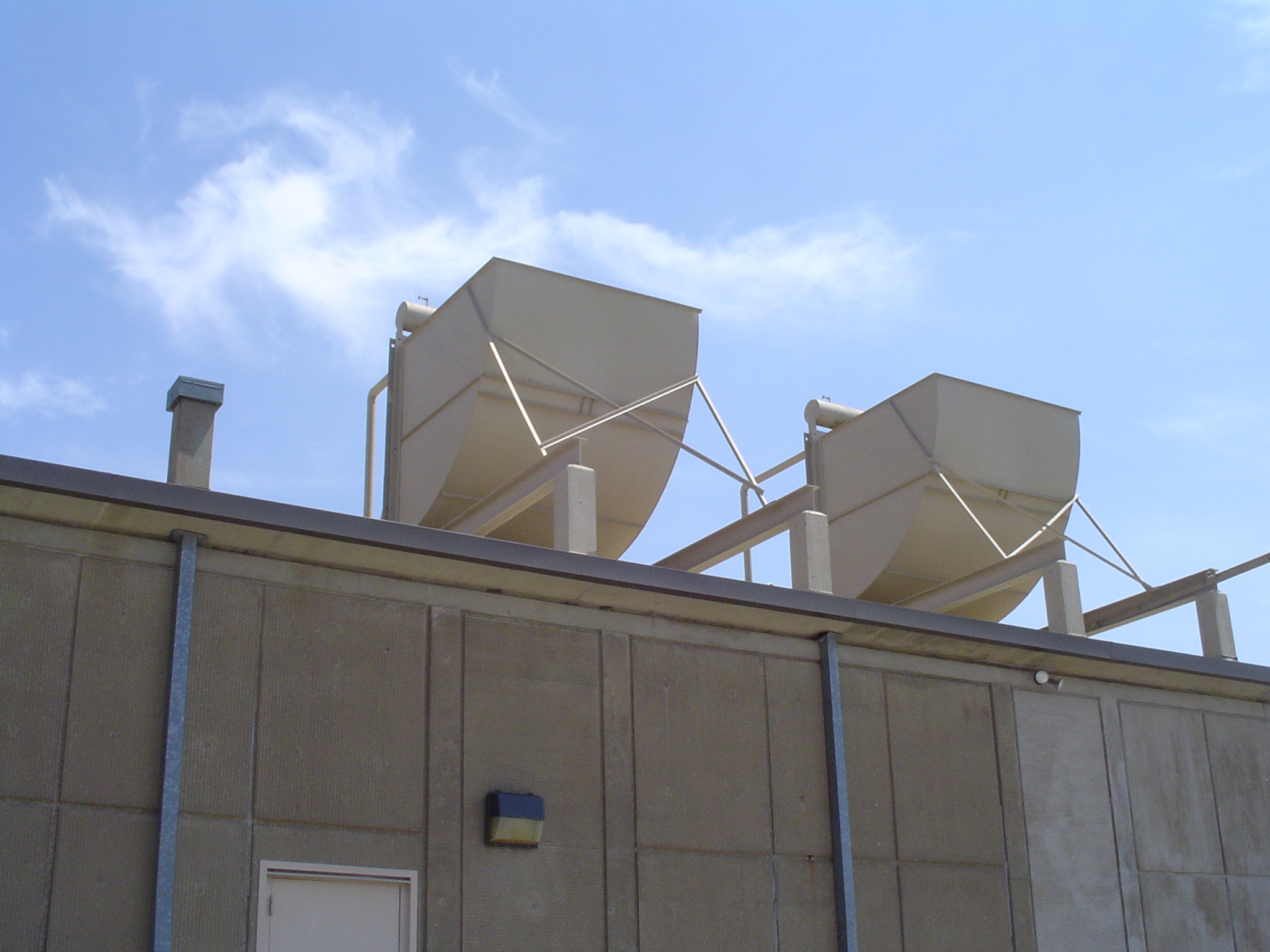
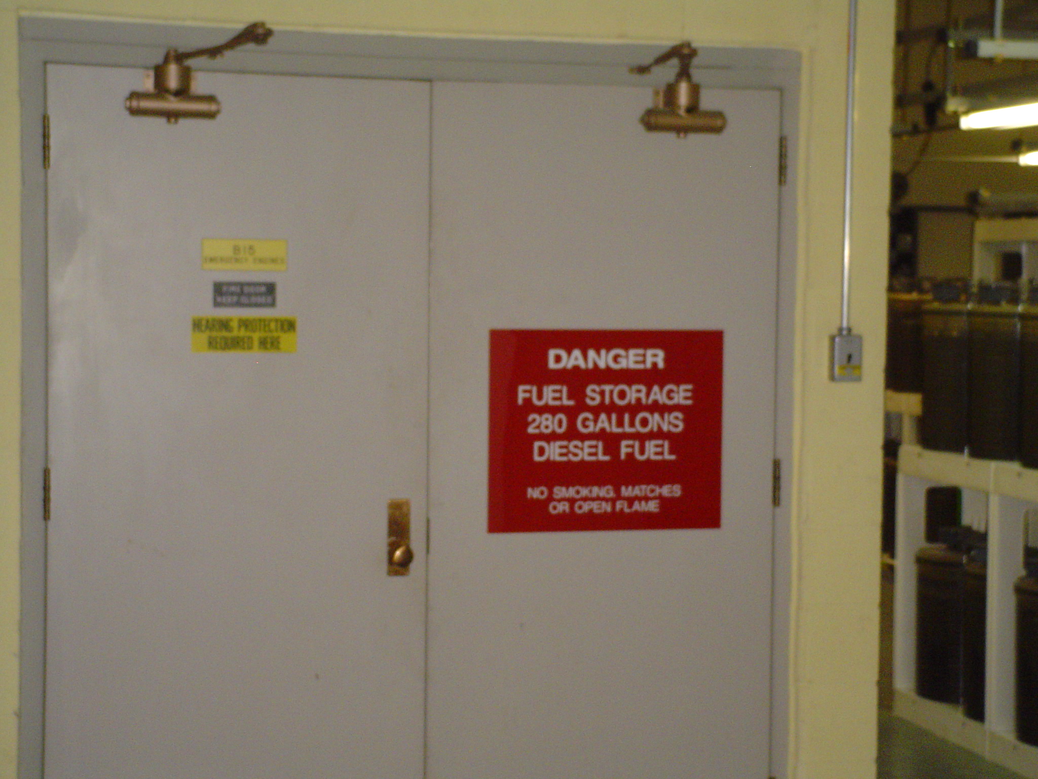
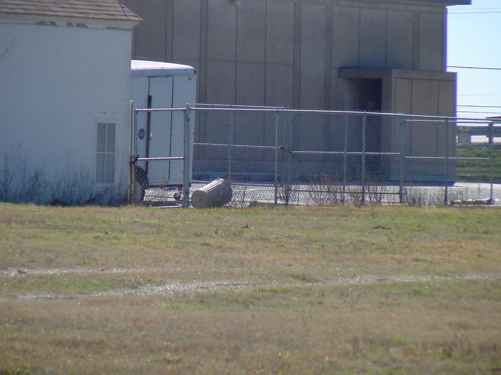
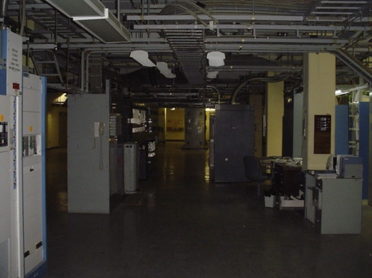
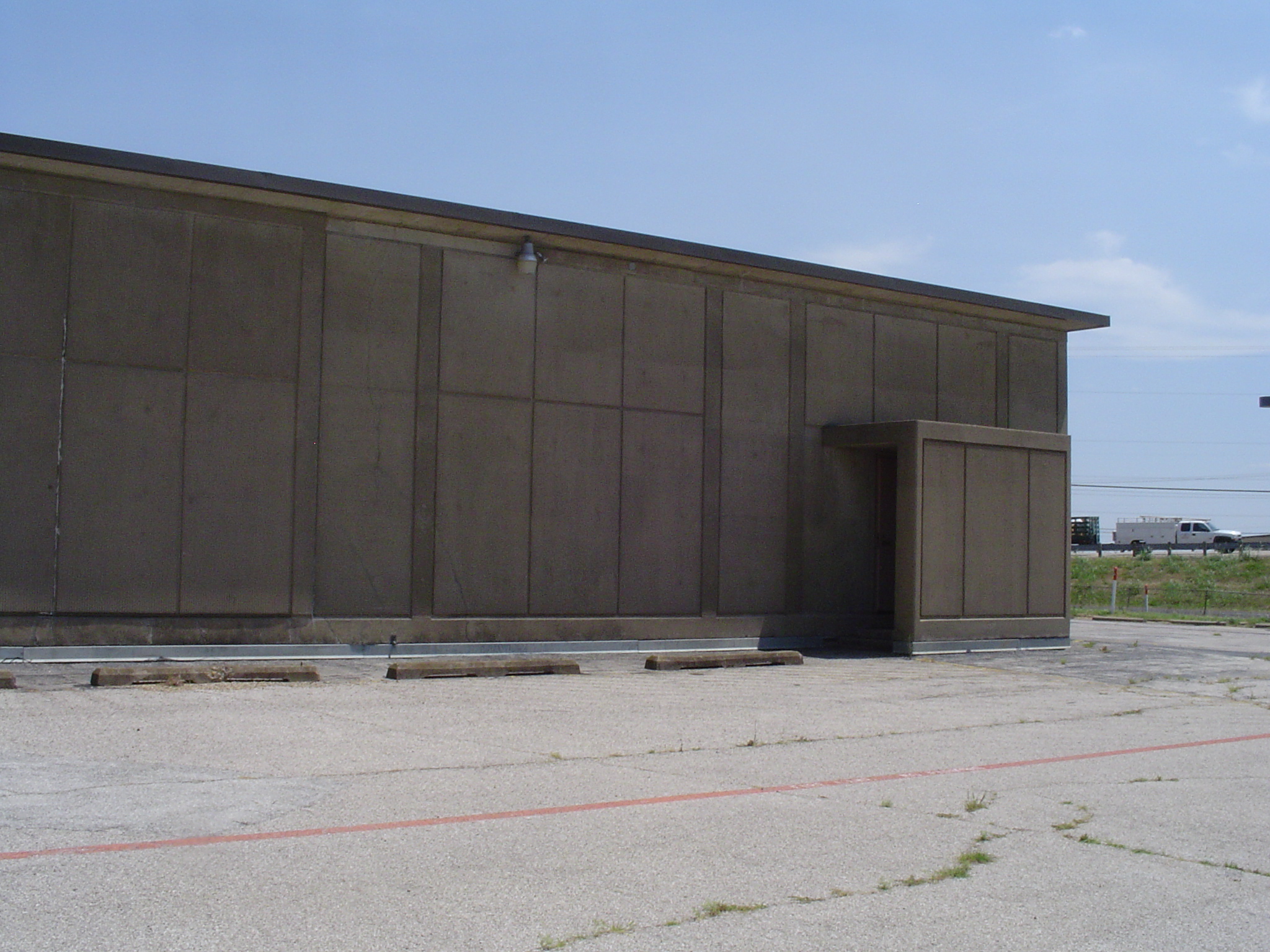
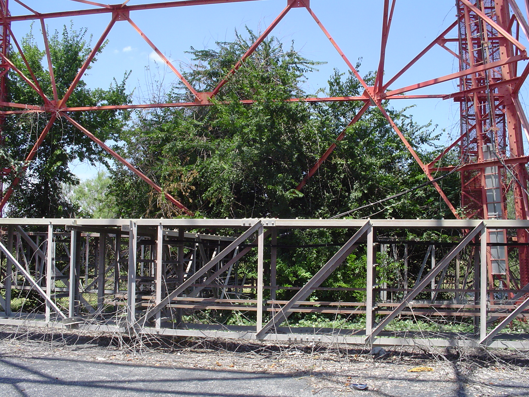
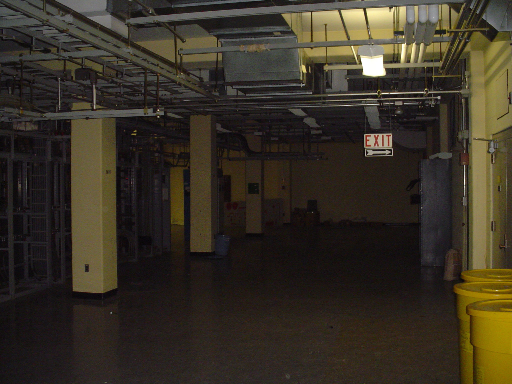
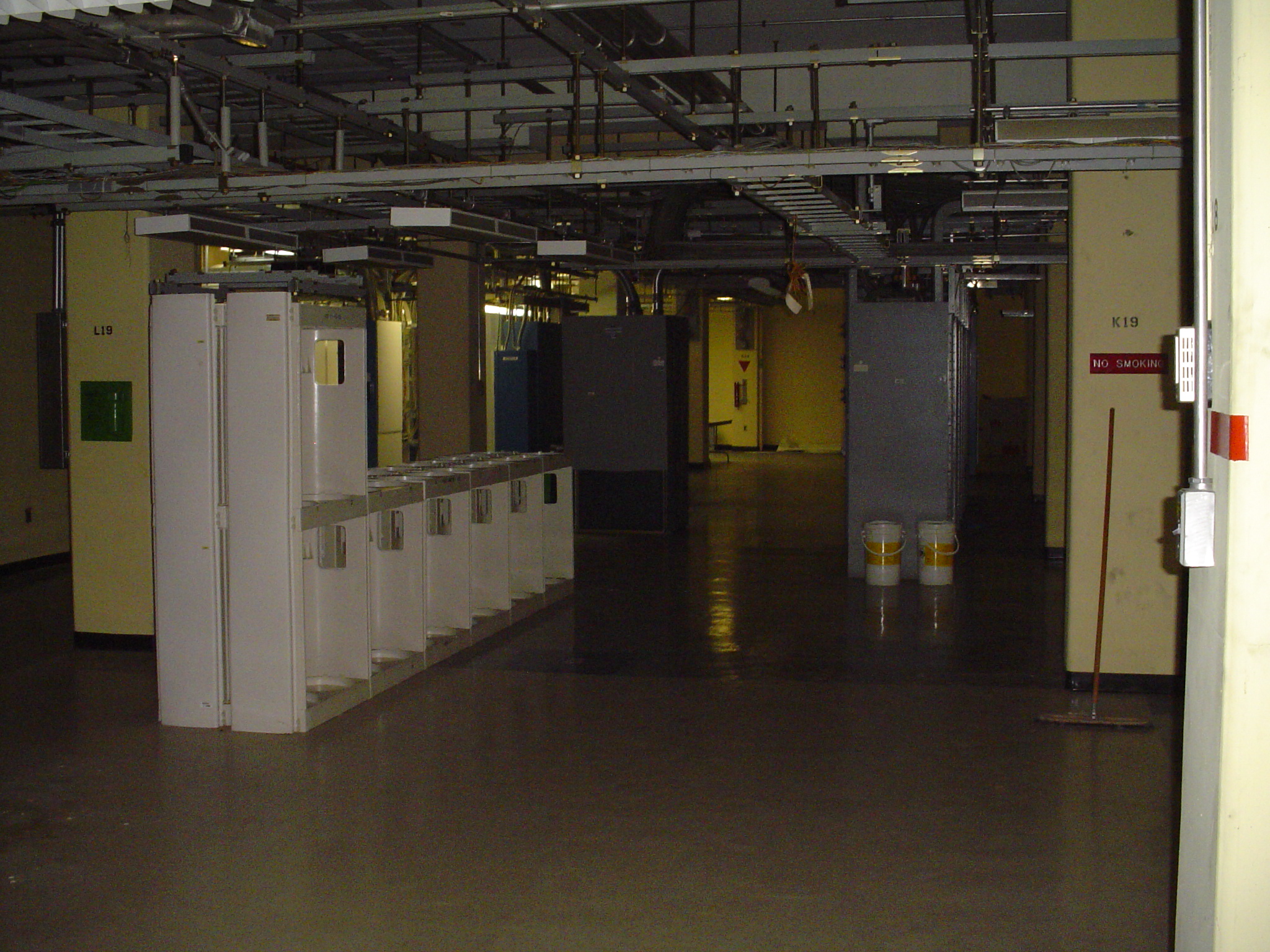
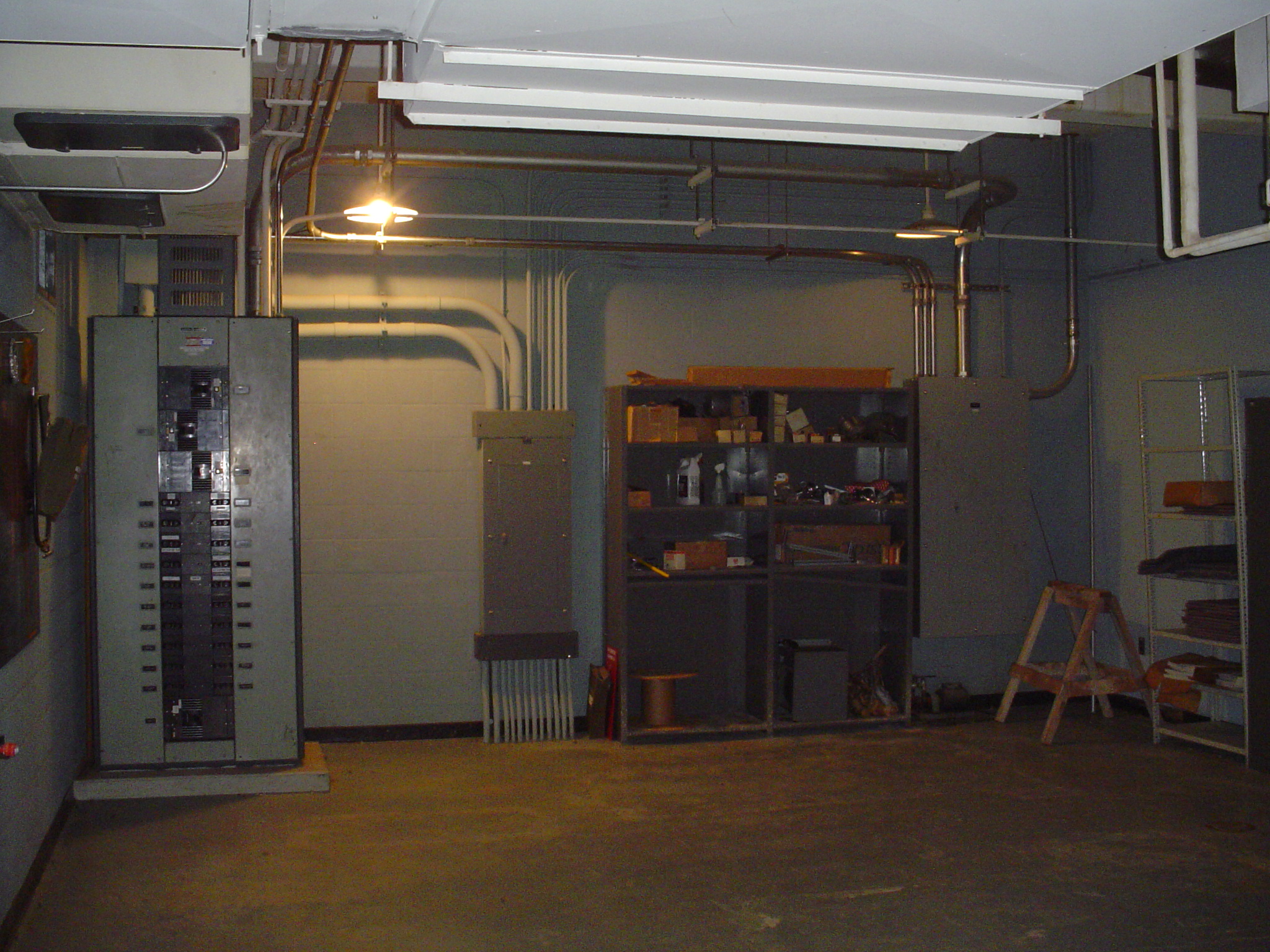
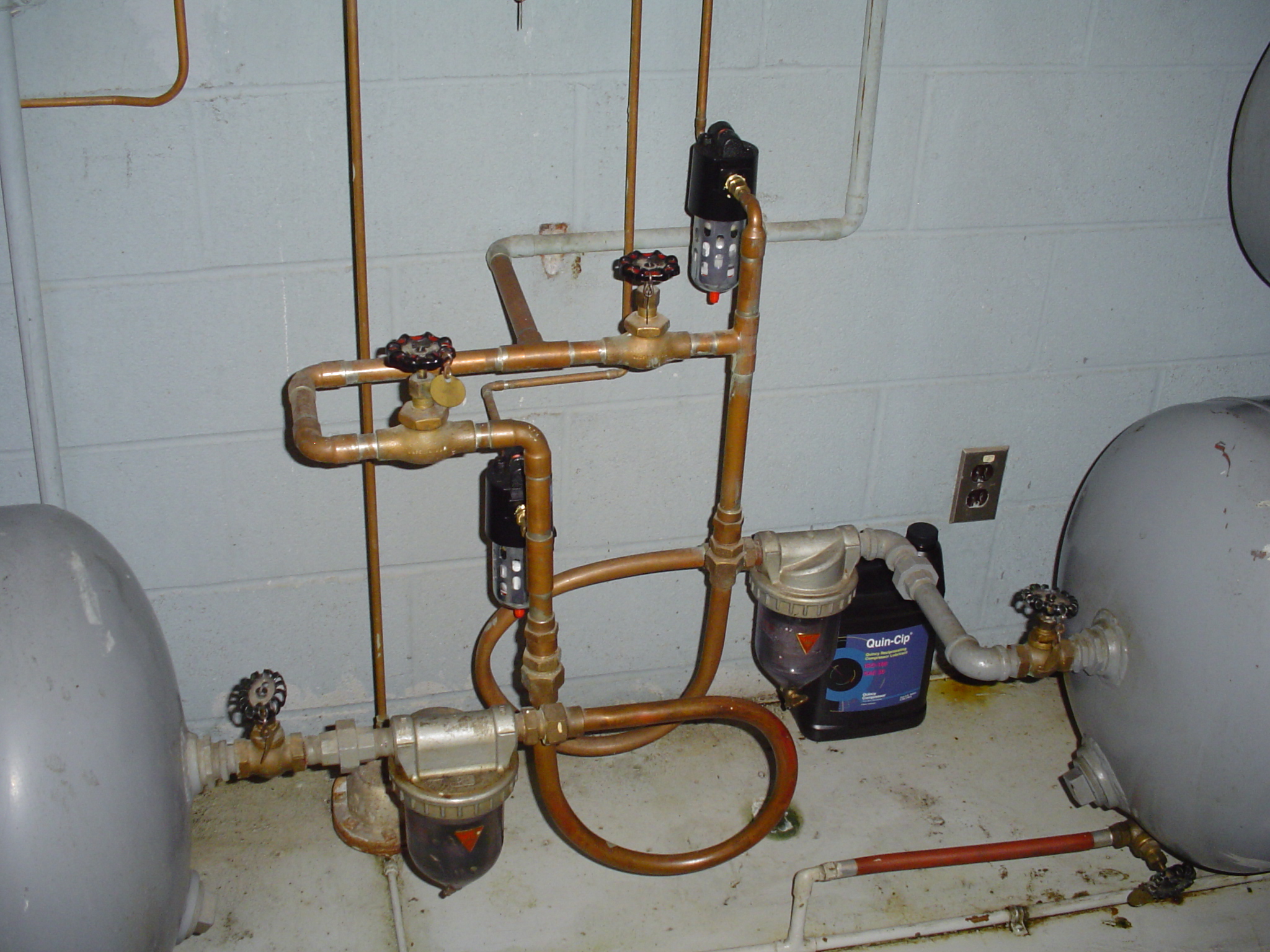
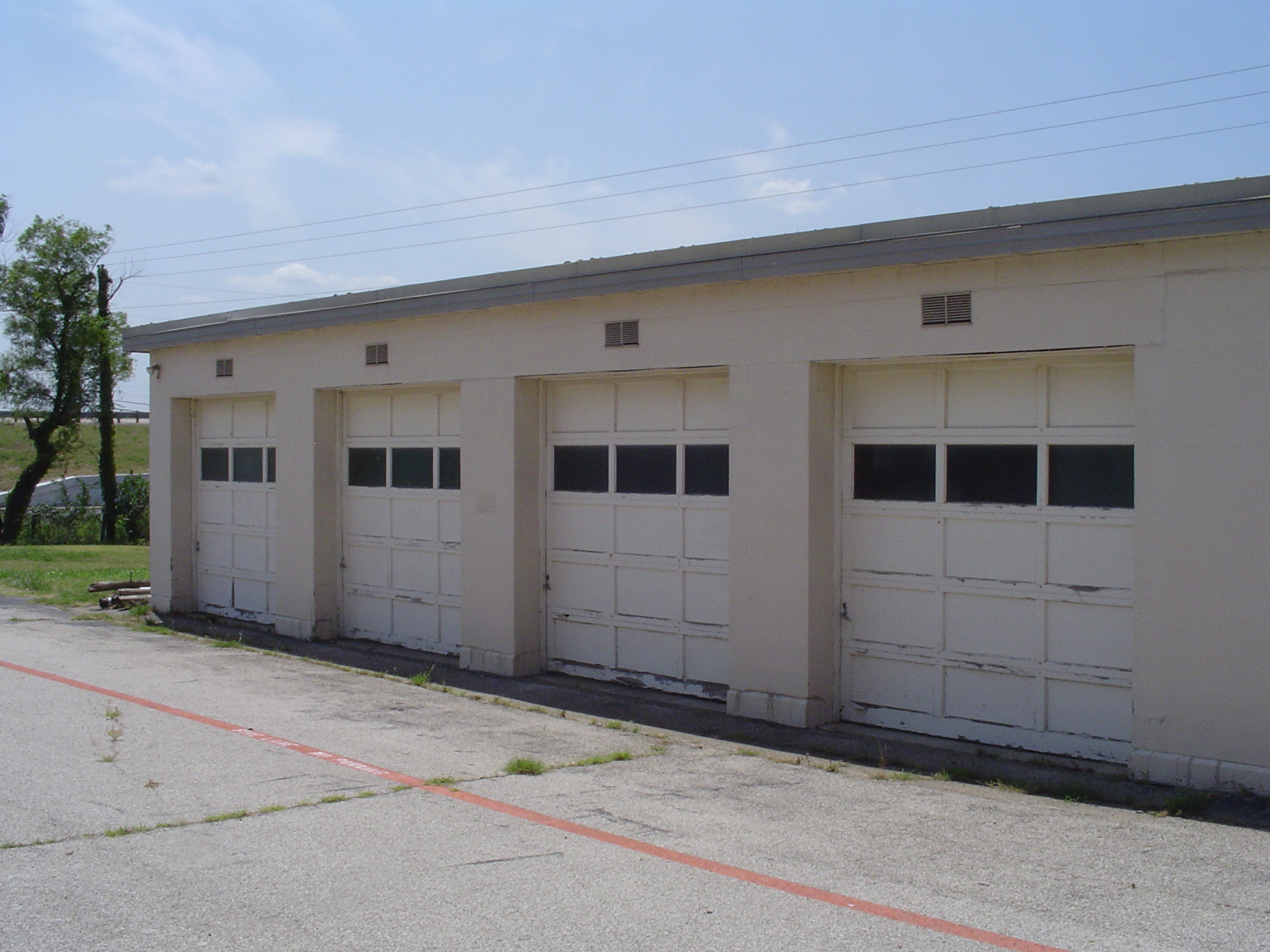
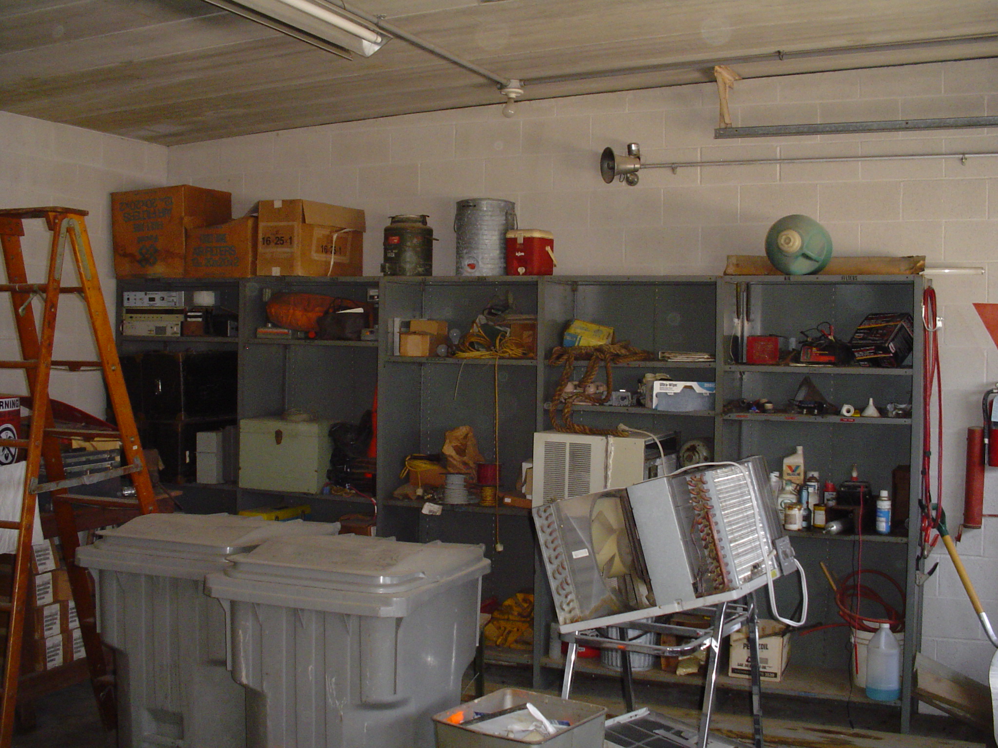
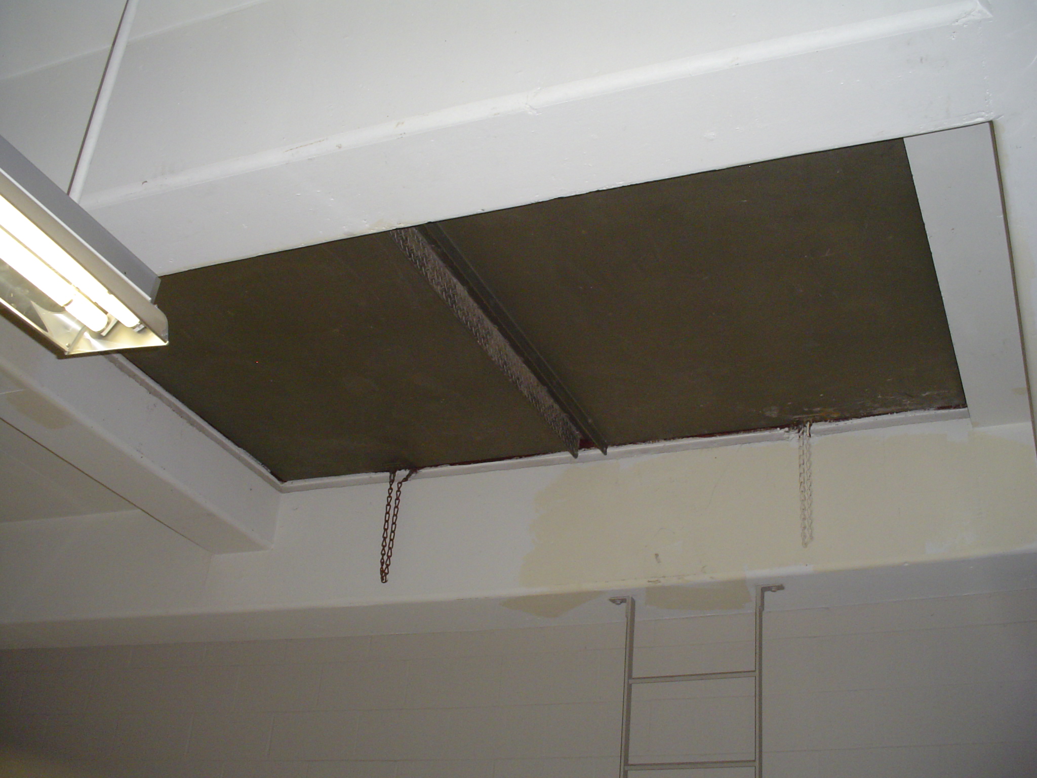
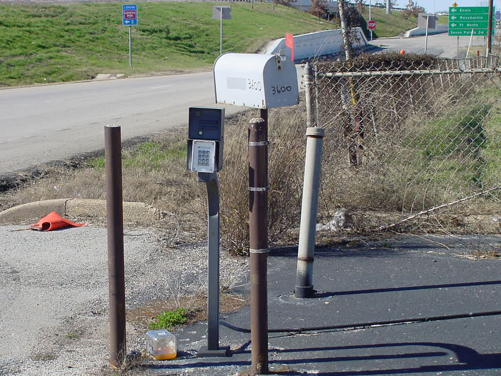
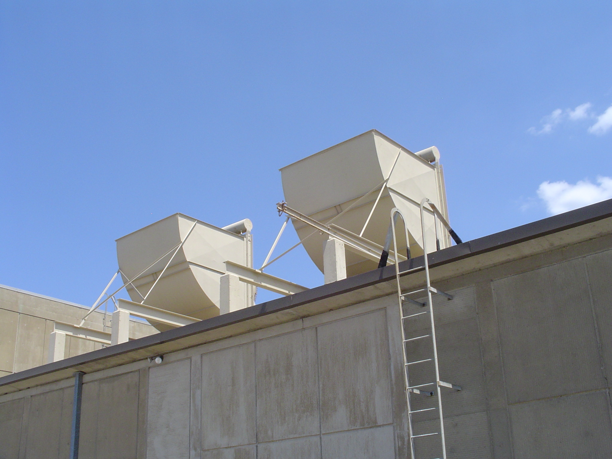
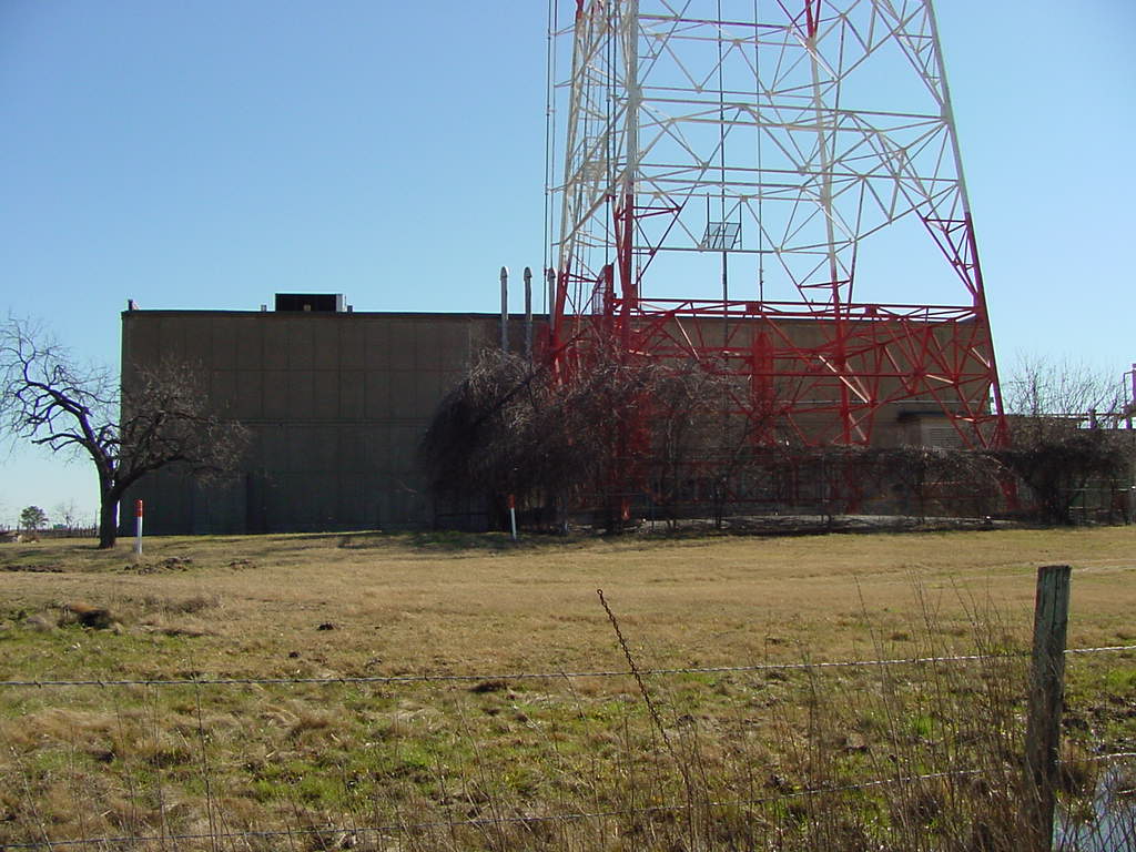
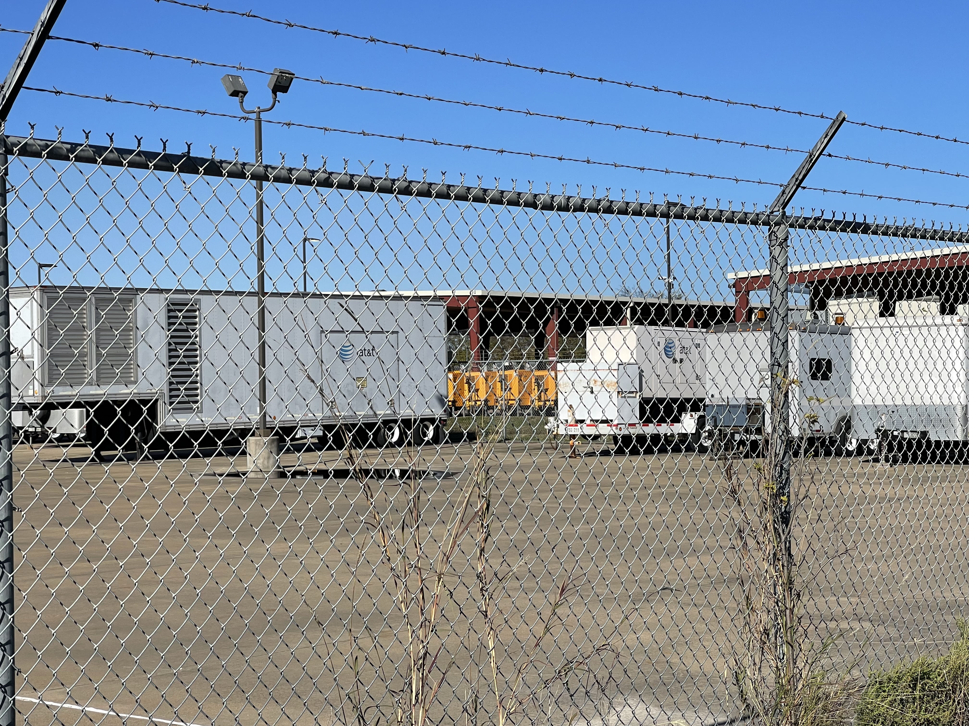
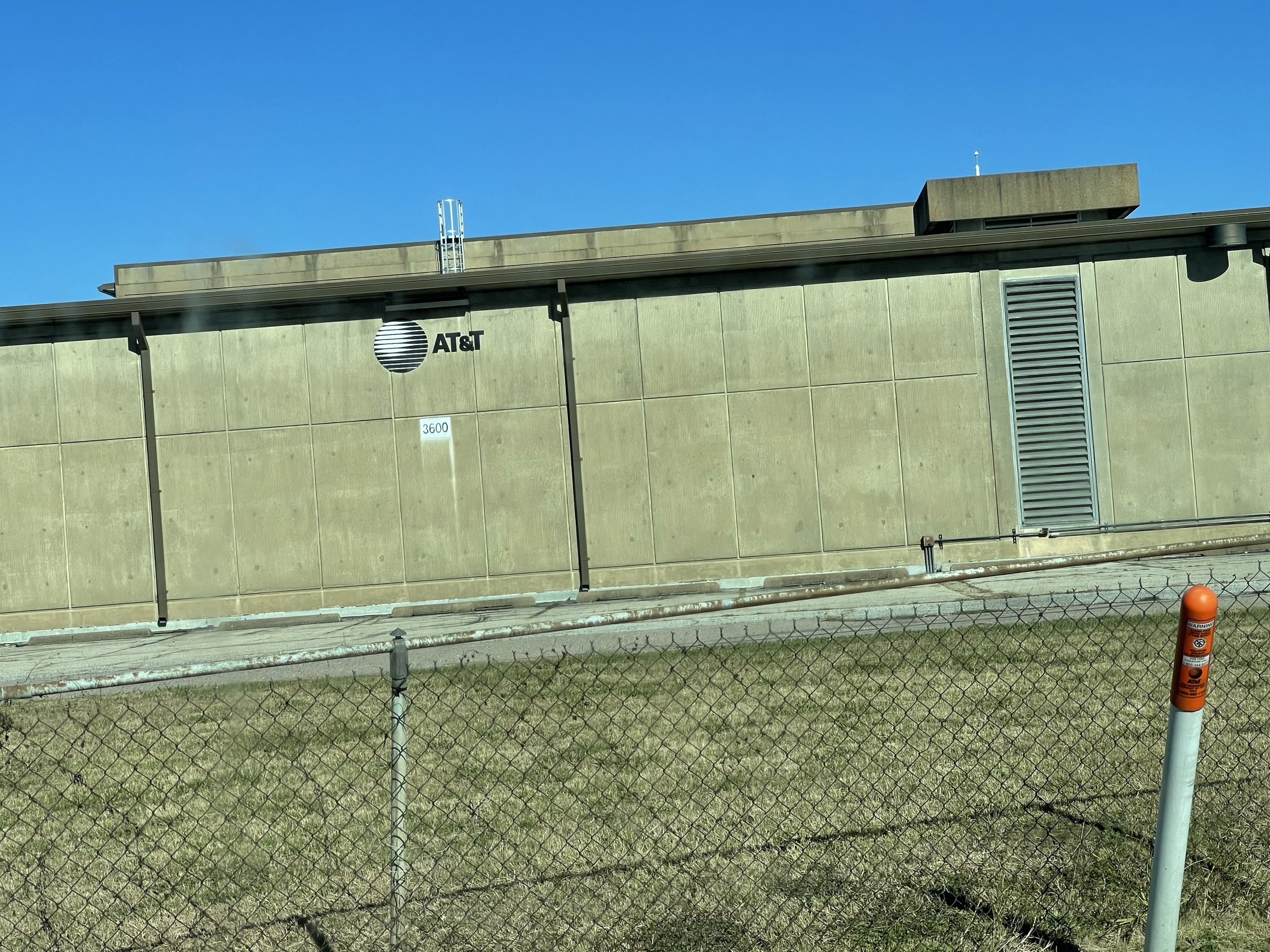
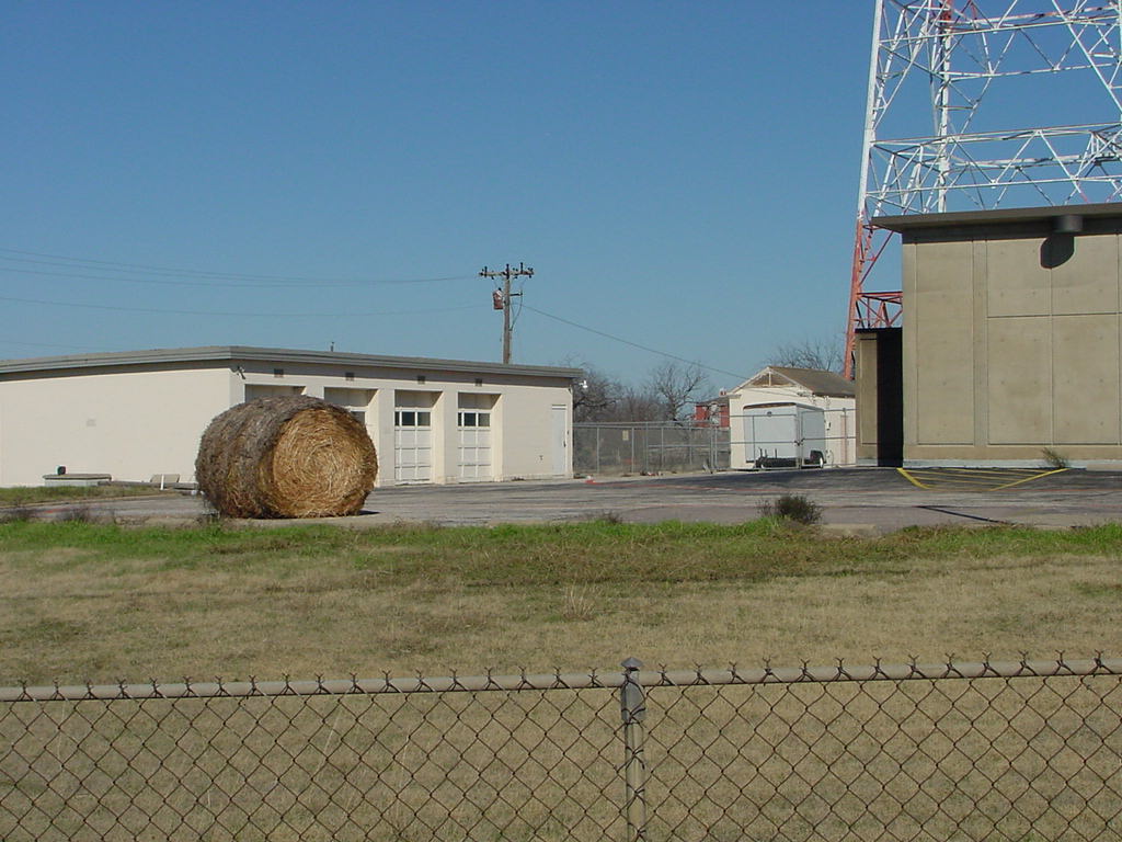
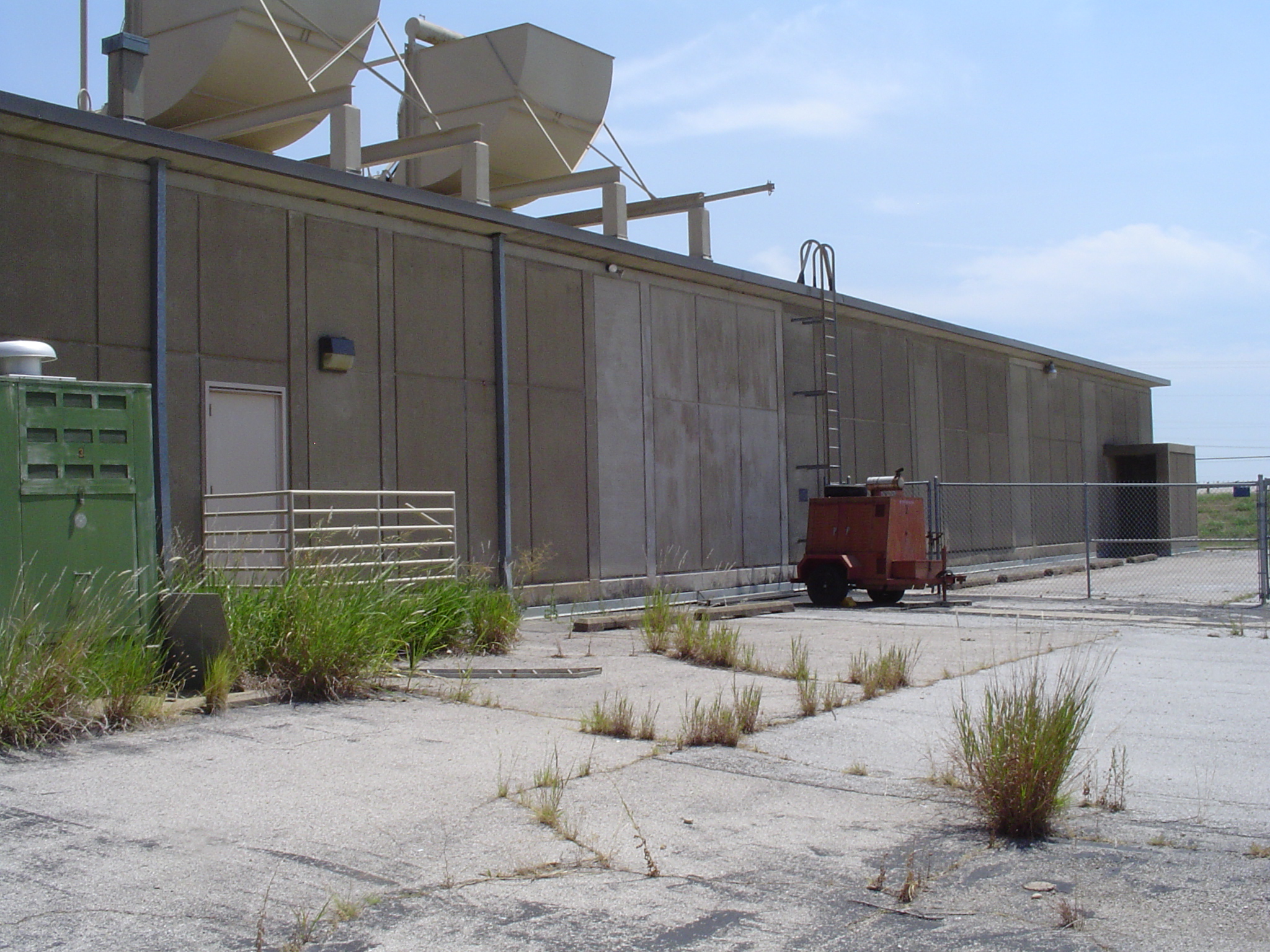
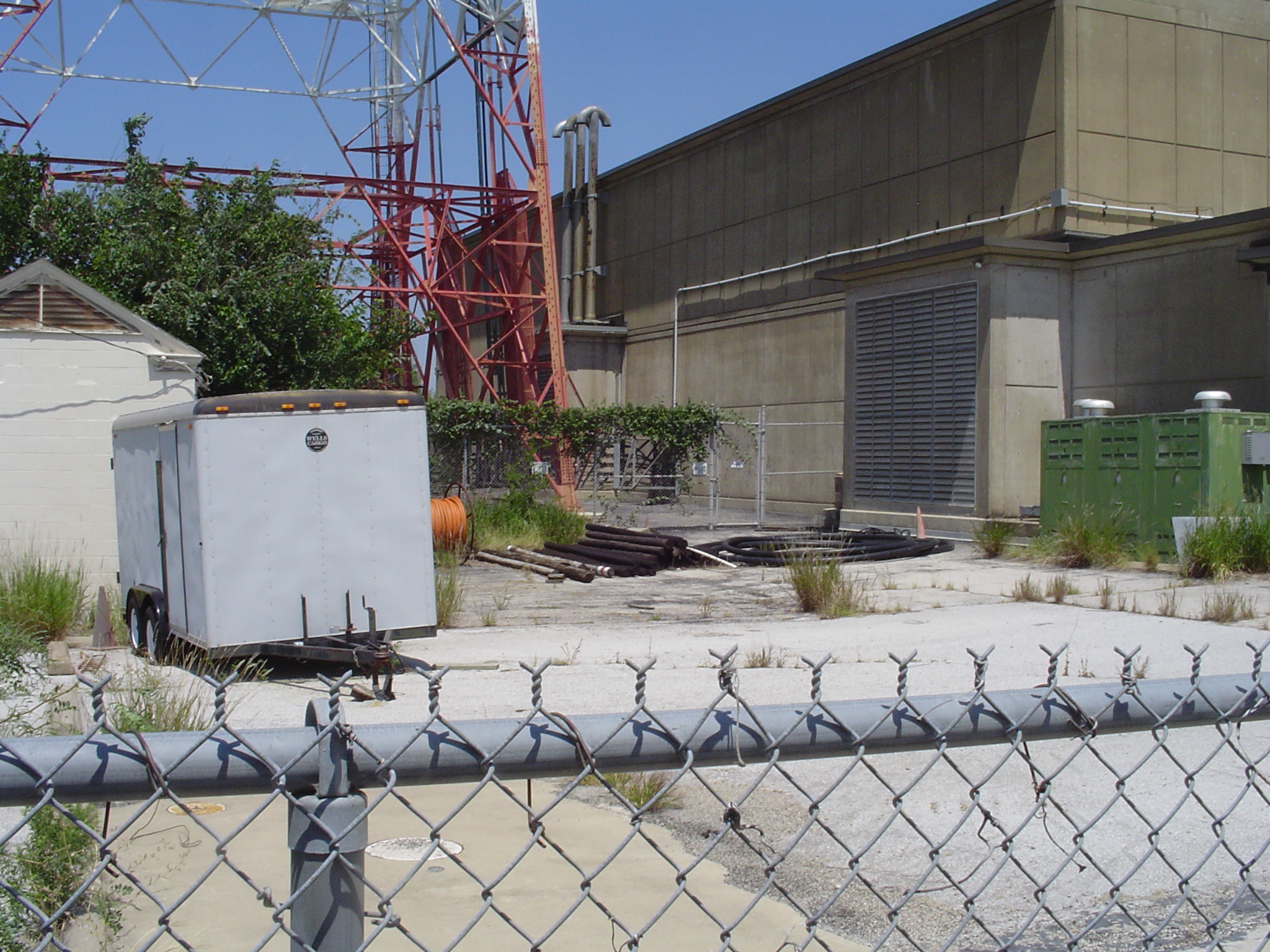
Ennis is located on the I-45 northbound service road and clearly visible the from freeway. The site is entered from the south. In addition to the steel-lattice tower and the large concrete main building, the site also has a multi-door garage-type building and one additional smaller building, indicating an underground entrance. The site looks like it is not visited on a daily basis but is well-secured with multiple CCTV cameras. ~ info taken ALBERT LAFRANCE website (long-lines.net)
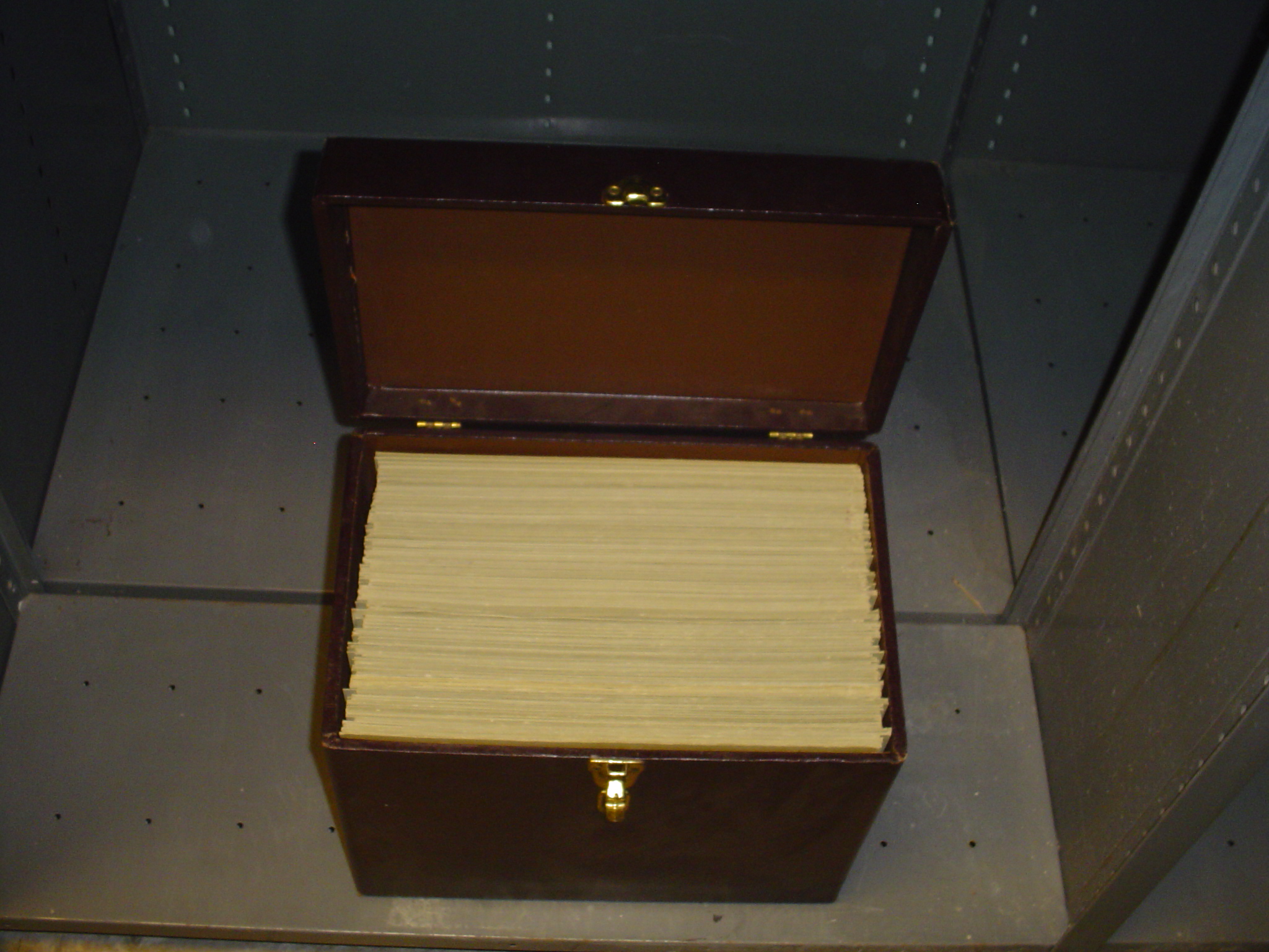
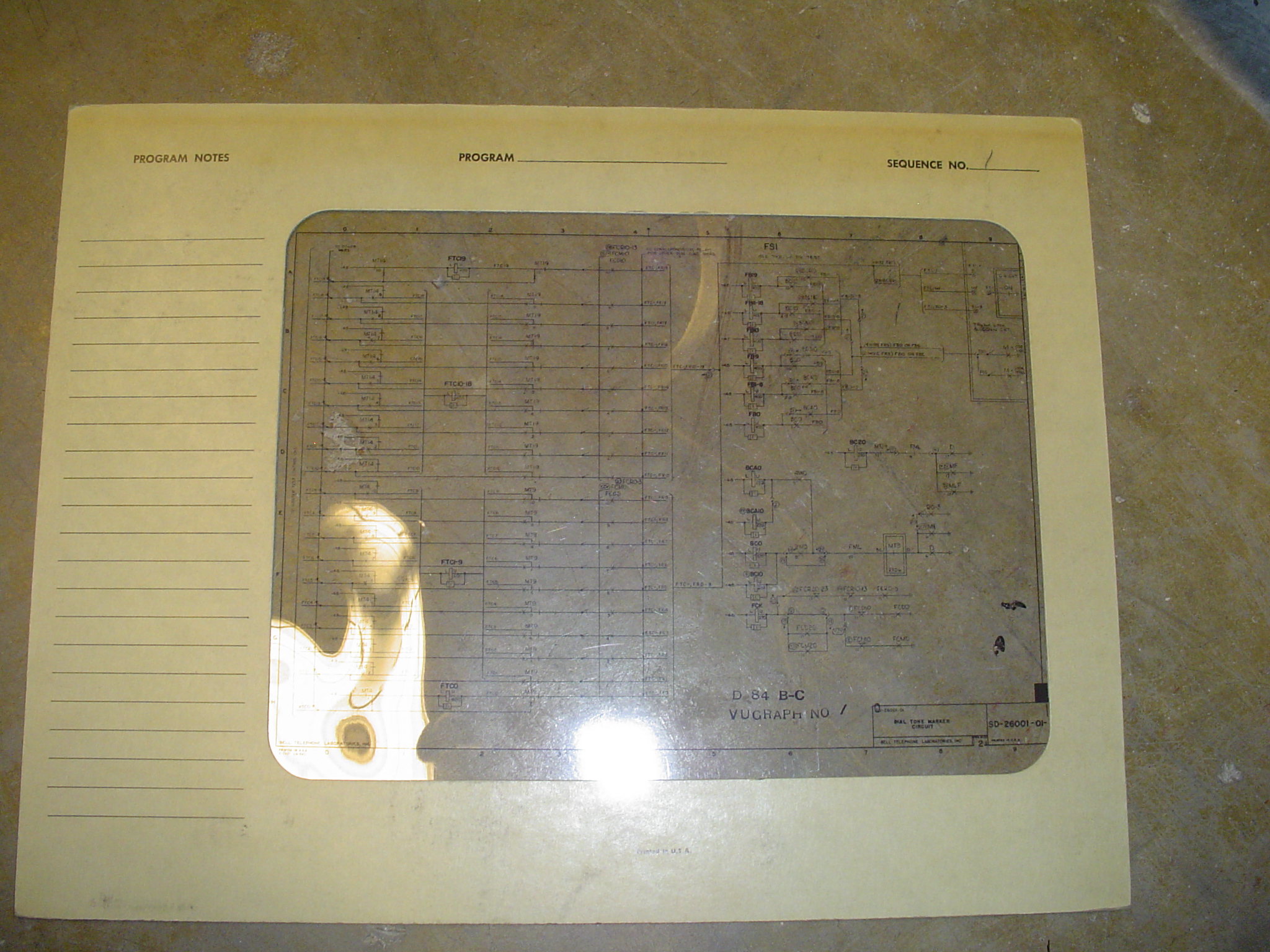
Site Documents
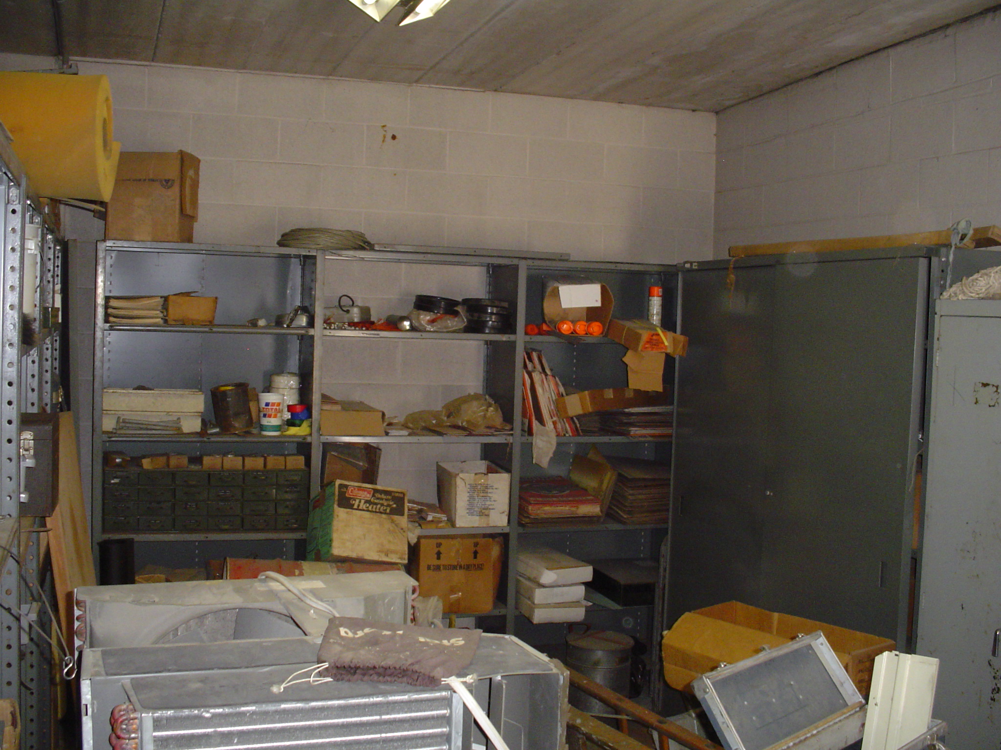
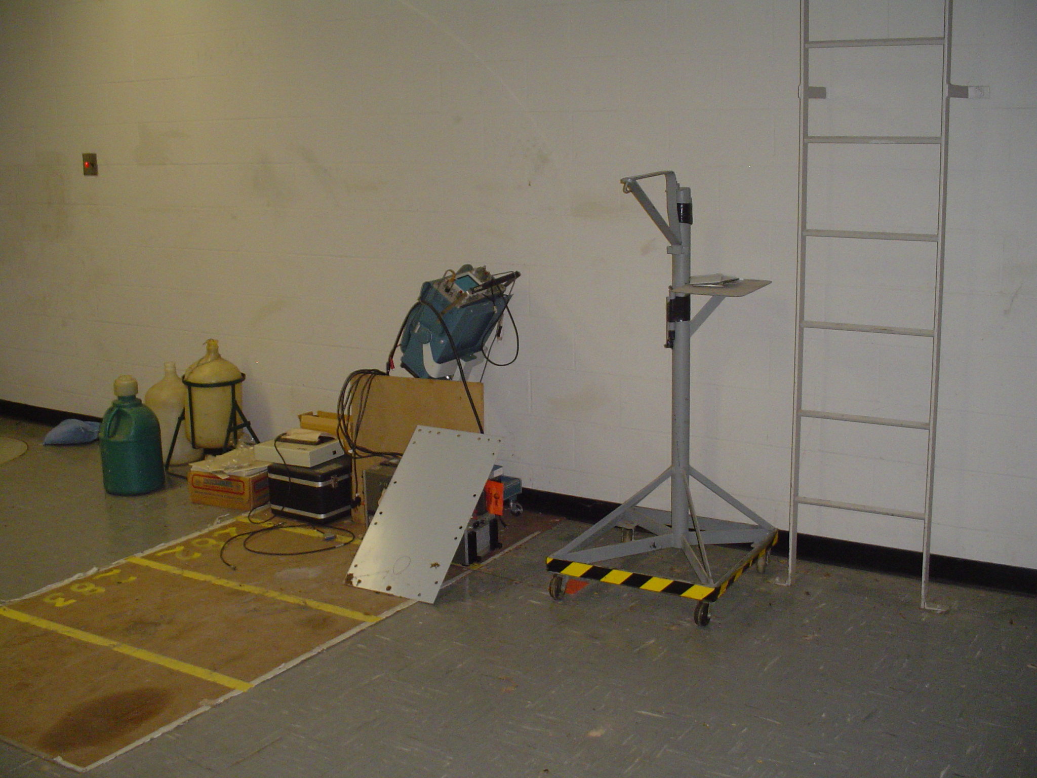
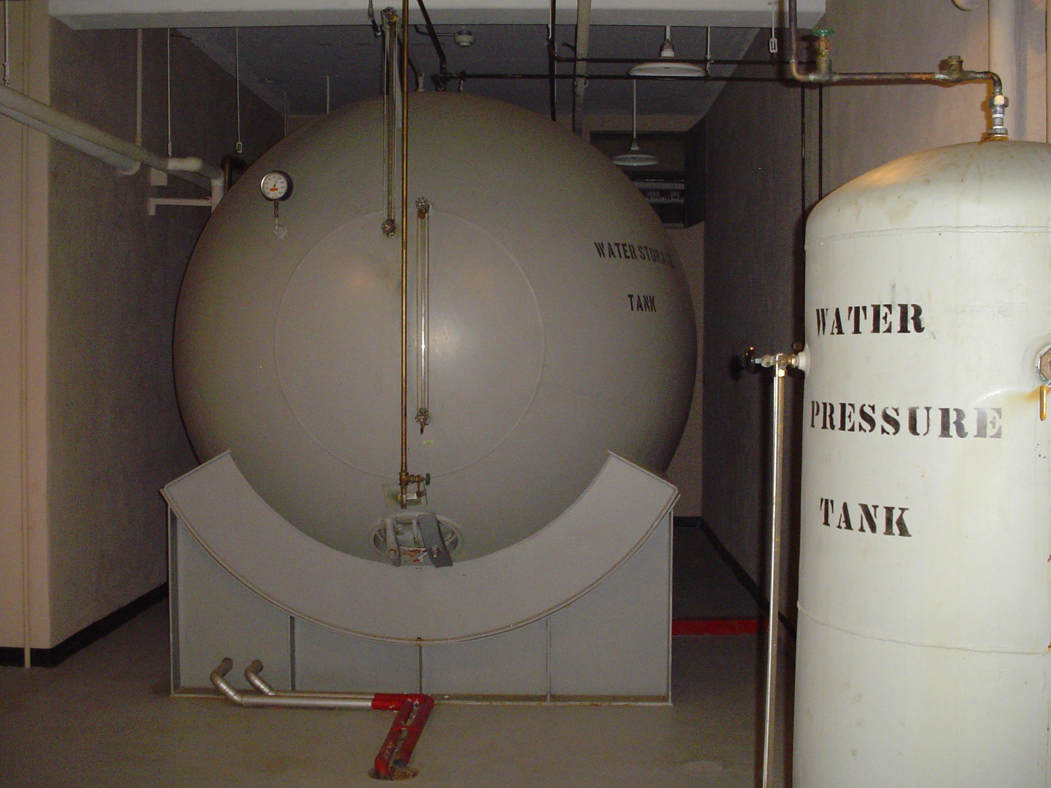
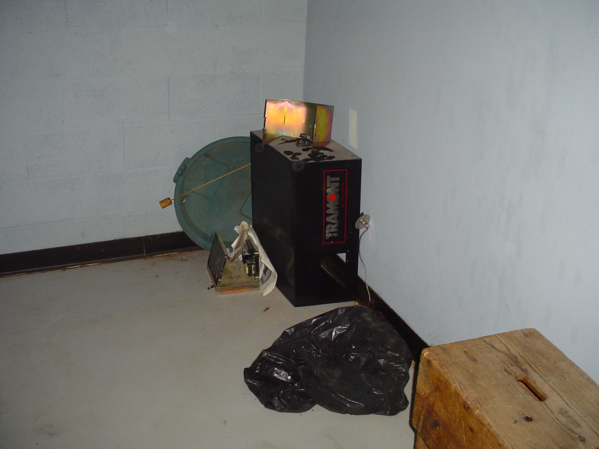
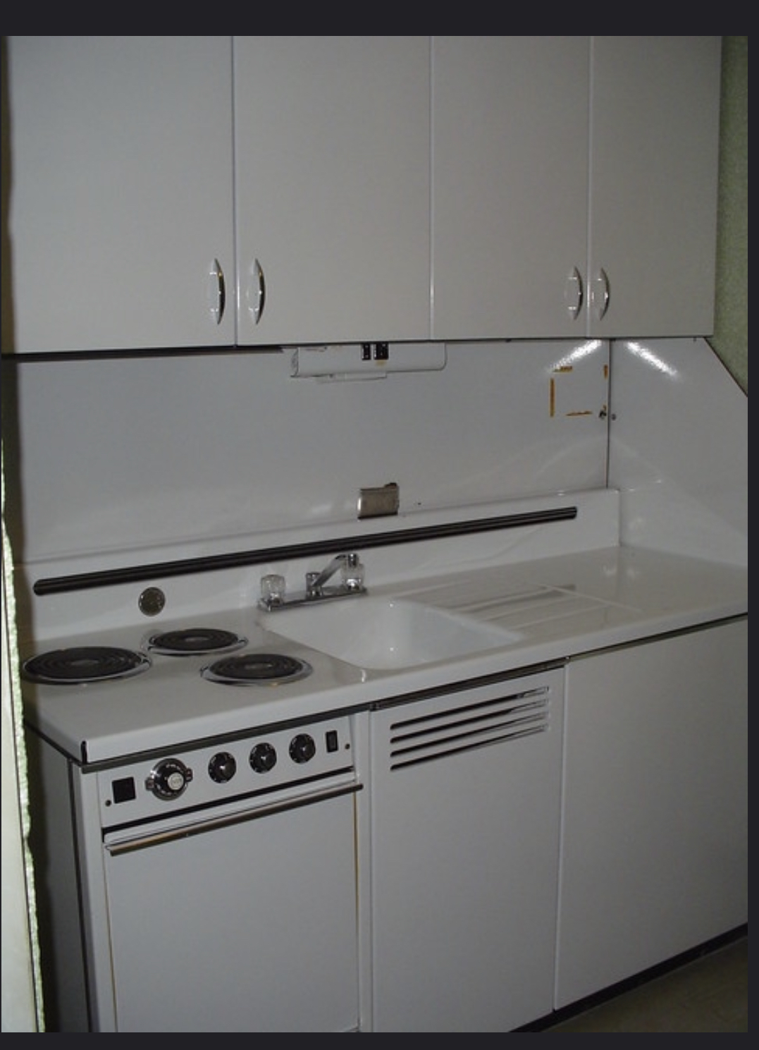
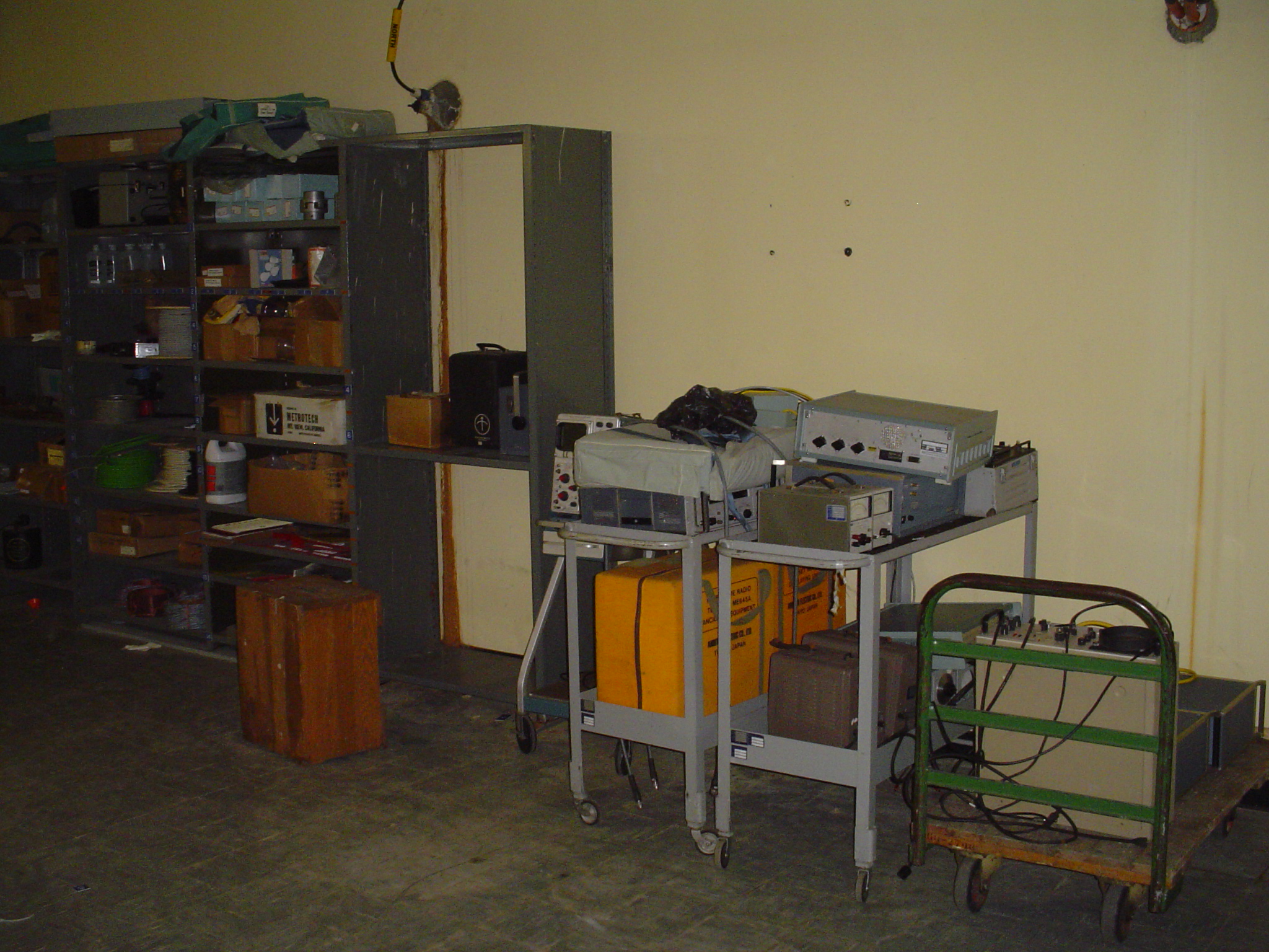
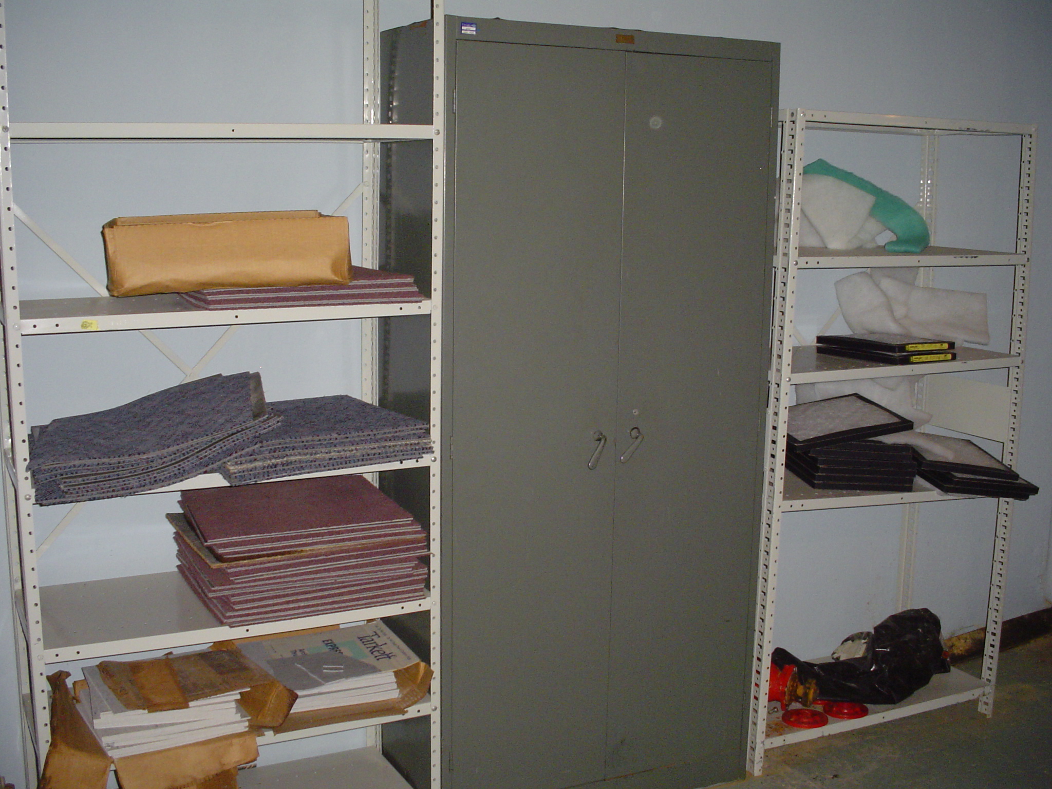
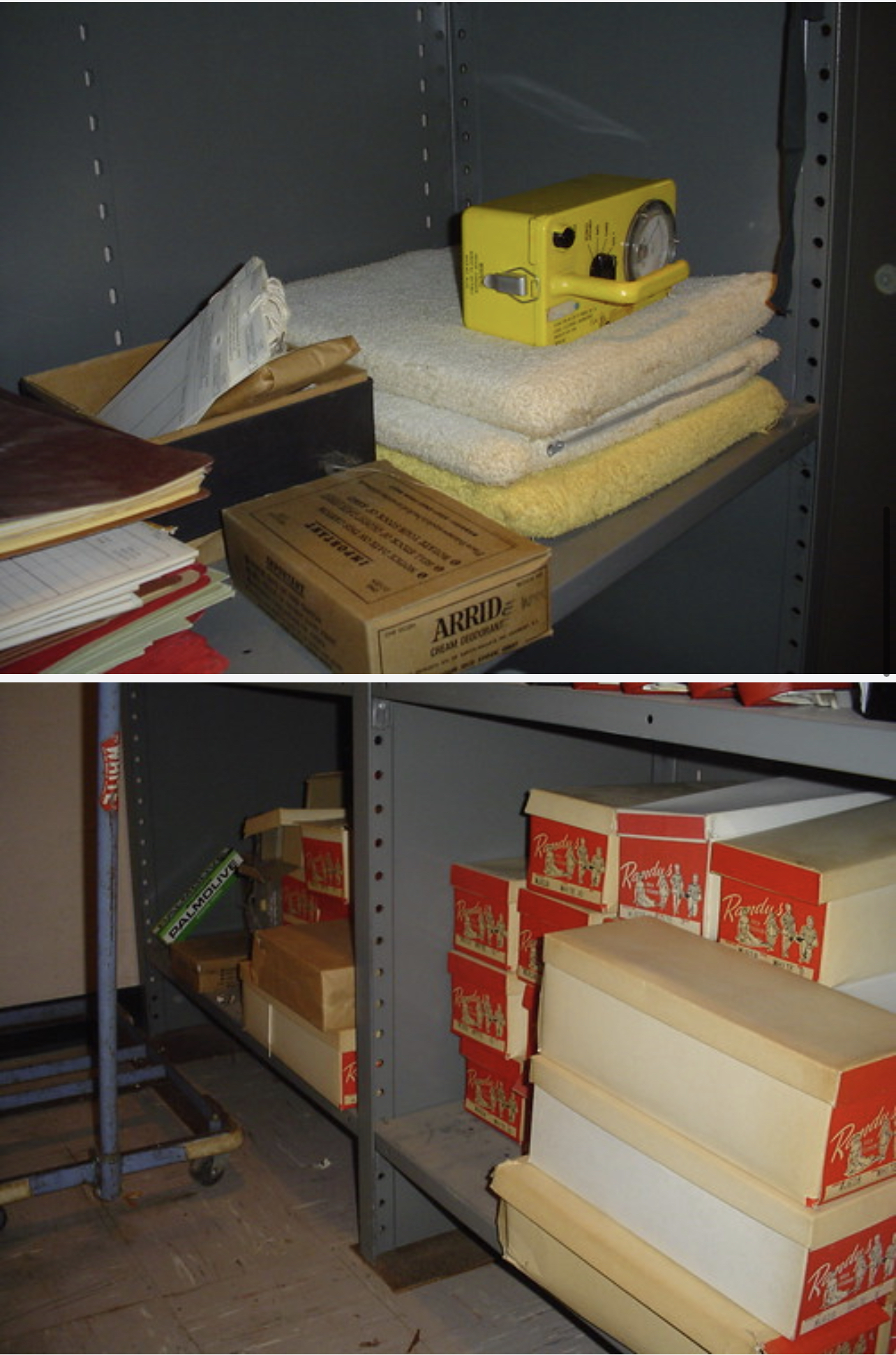
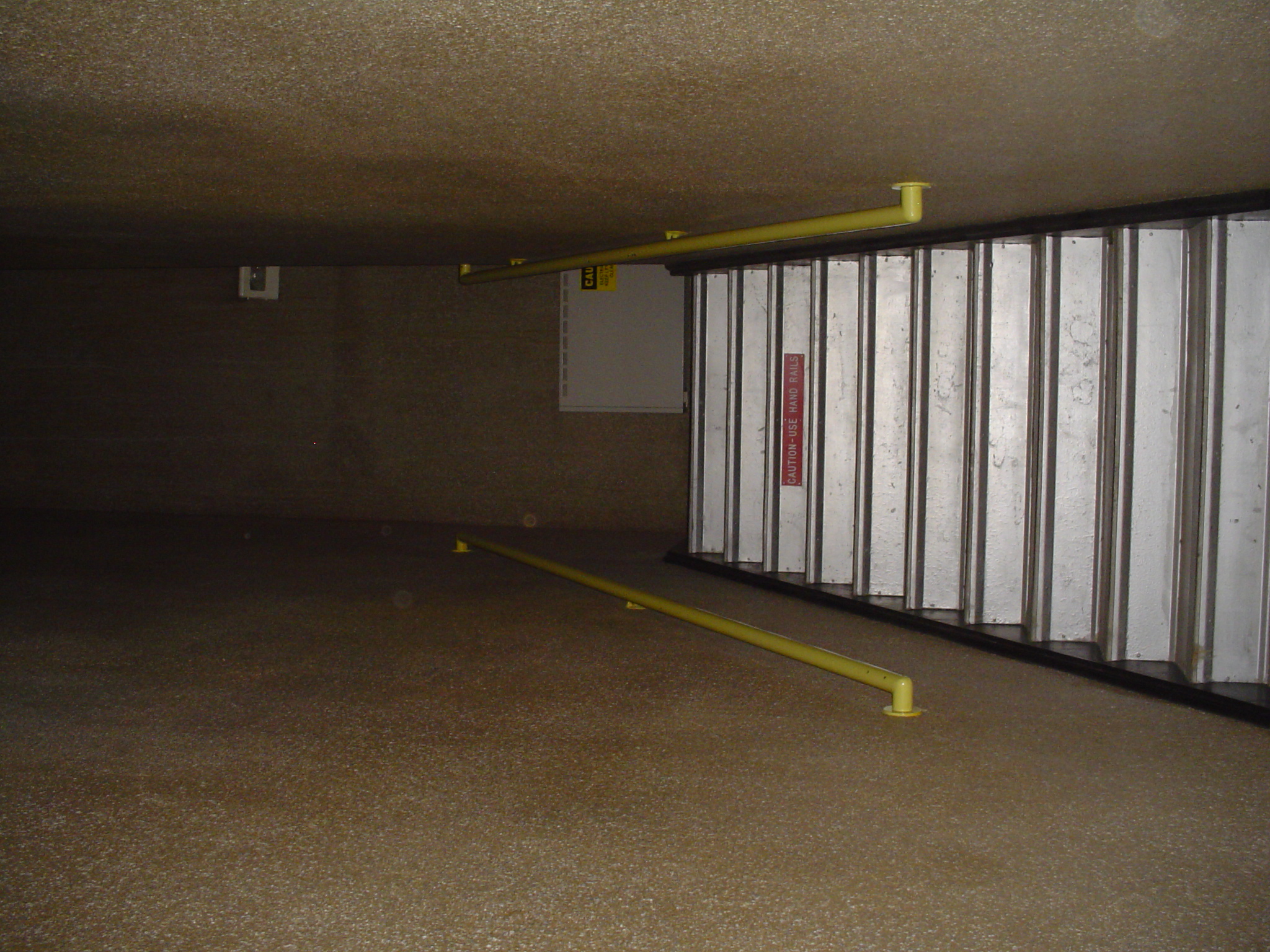
Site Pictures
Add site Pictures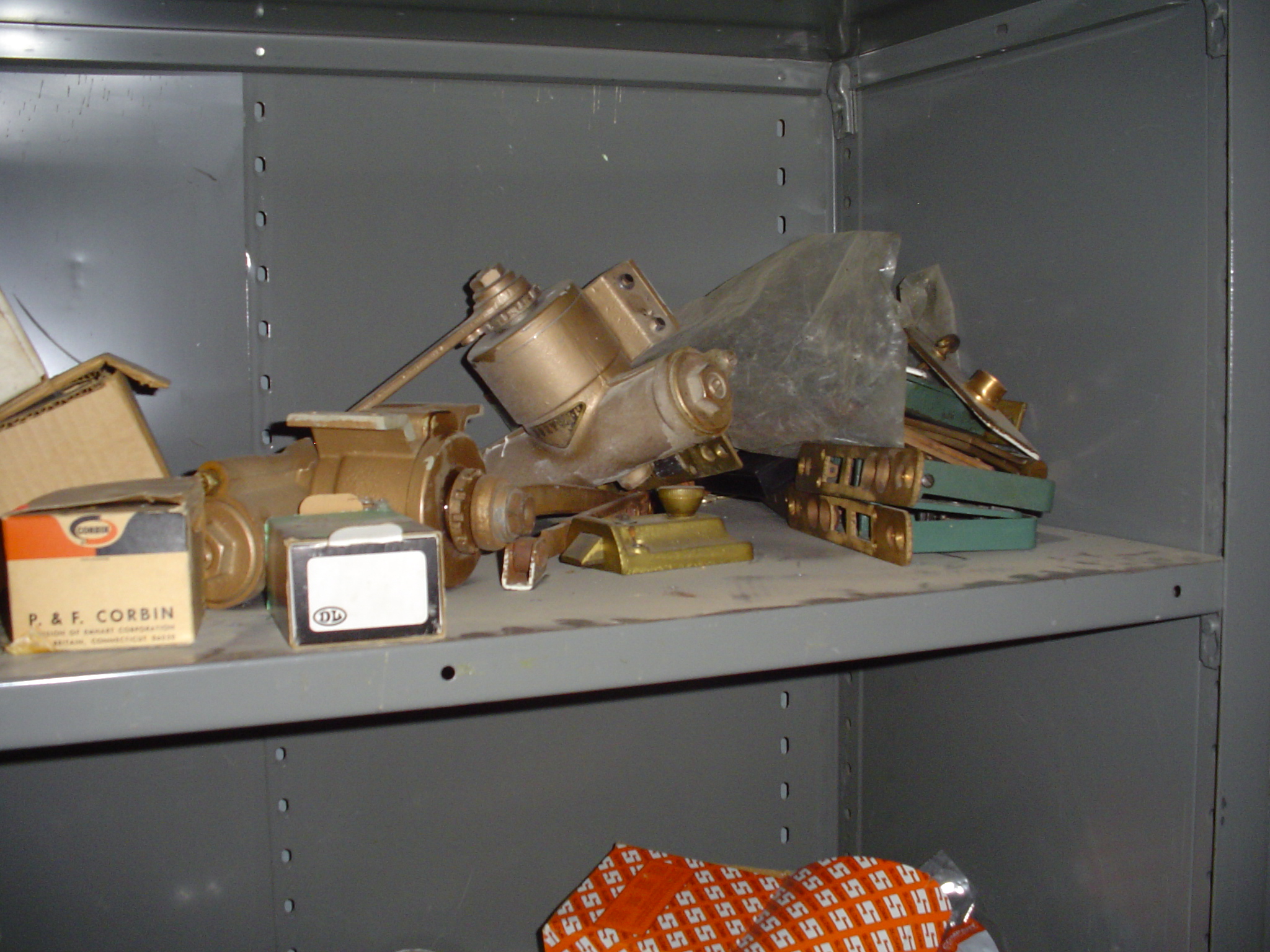


Upload Site Images
For any questions or comments please email [email protected].