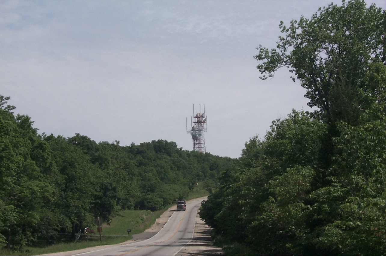
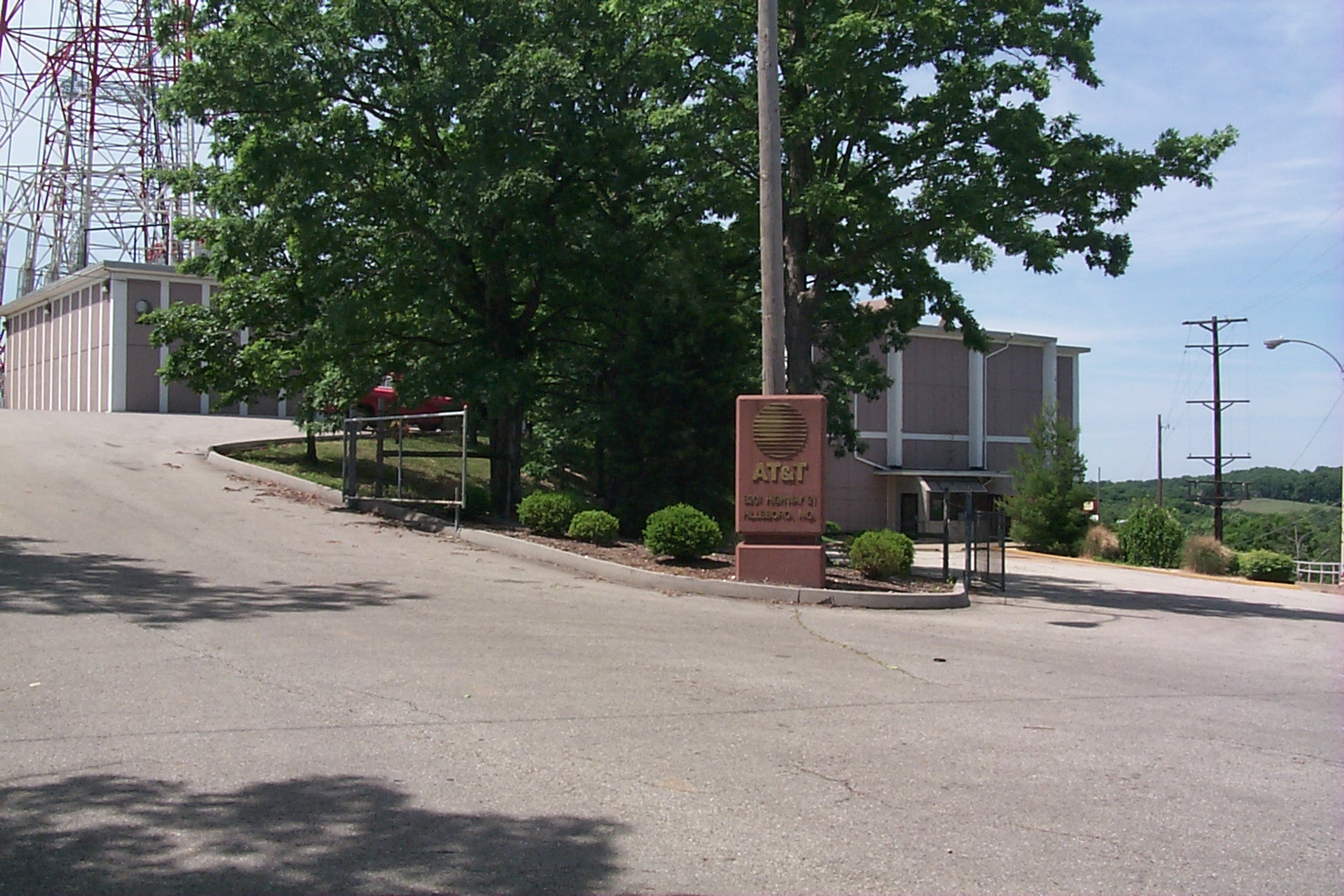
Hillsboro - Missouri
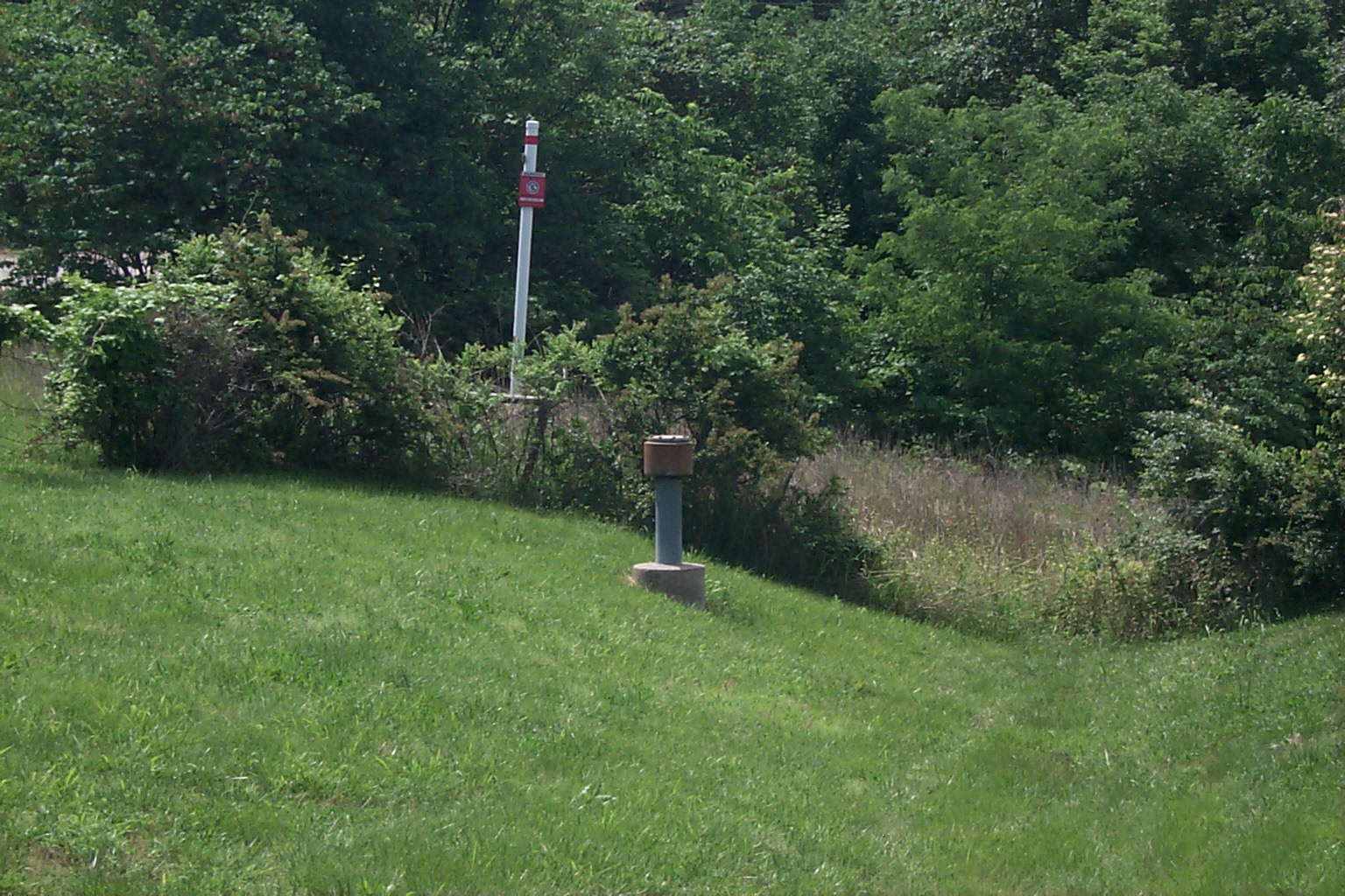
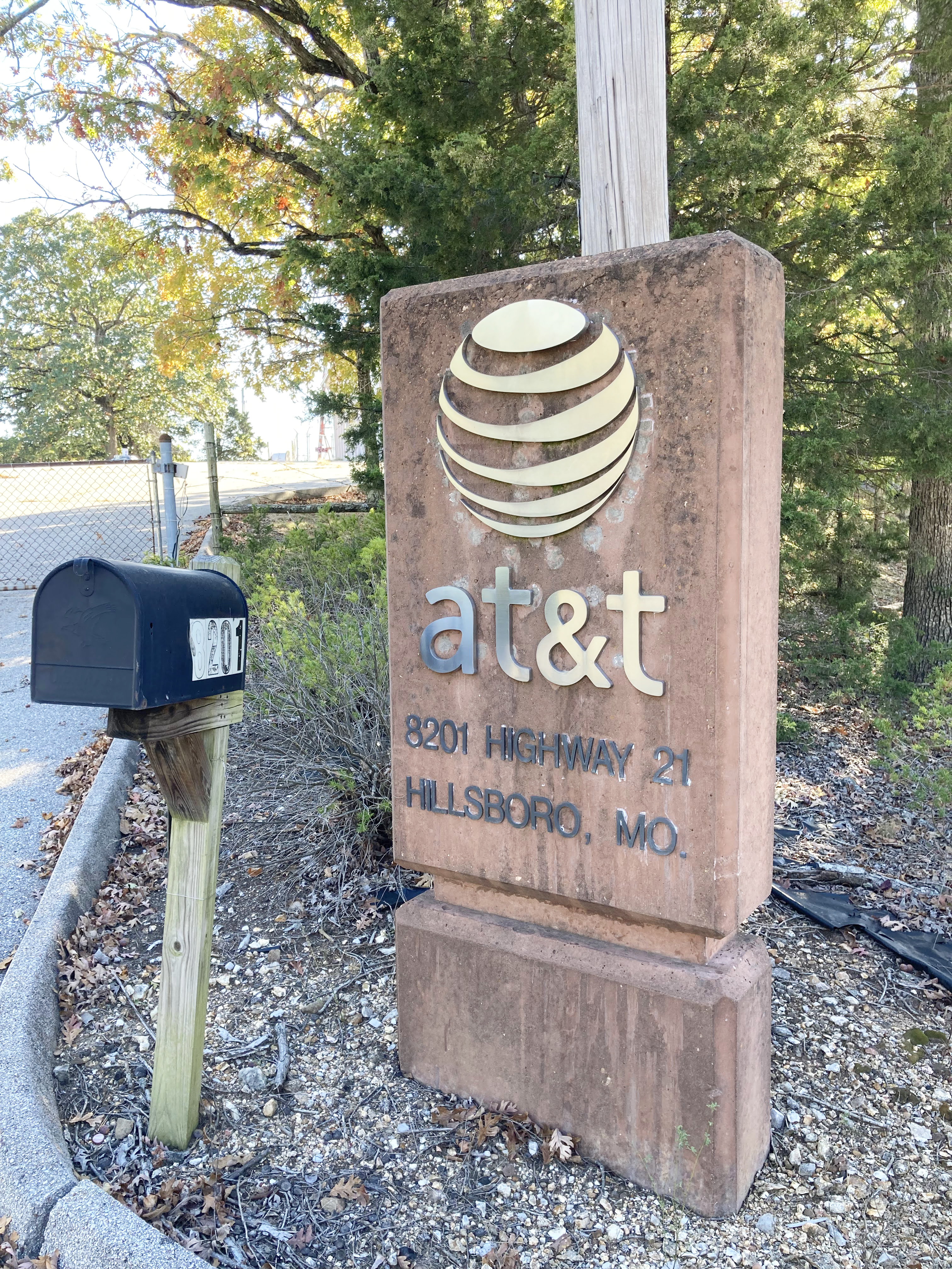
Address: 8201 Old State Route 21 Hillsboro 63050
Paths To: St Louis CO SHIRLEY MO Richwoods Lawrenceton WATERLOO IL Festus
View On: Long Lines Map | Google Maps | Bing Maps
View Random Site
Site Notes
Add site noteSITE HISTORY (MARK FOSTER'S SITE) Collapse/Expand
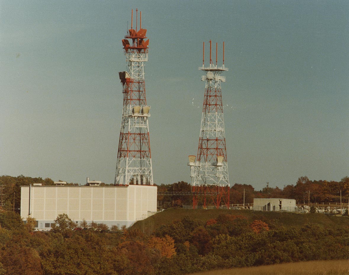
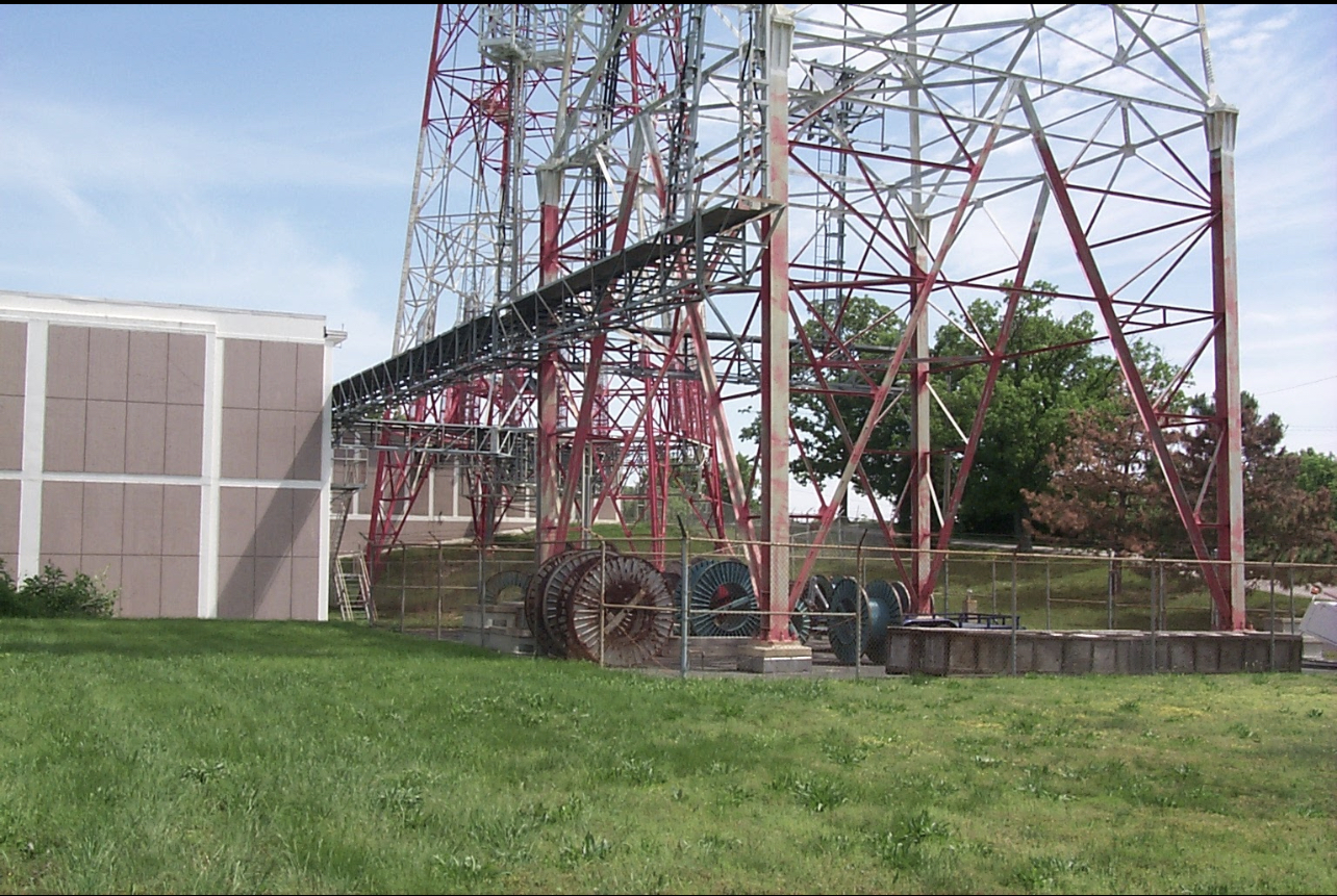
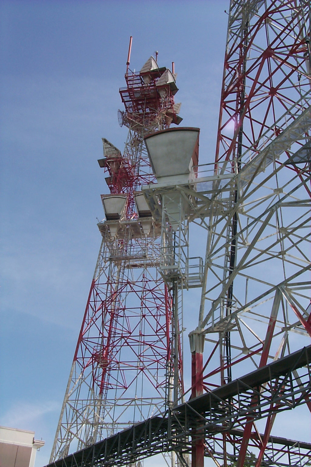
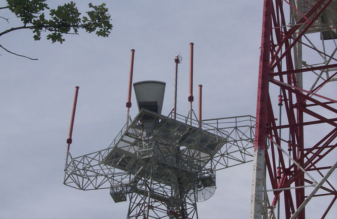
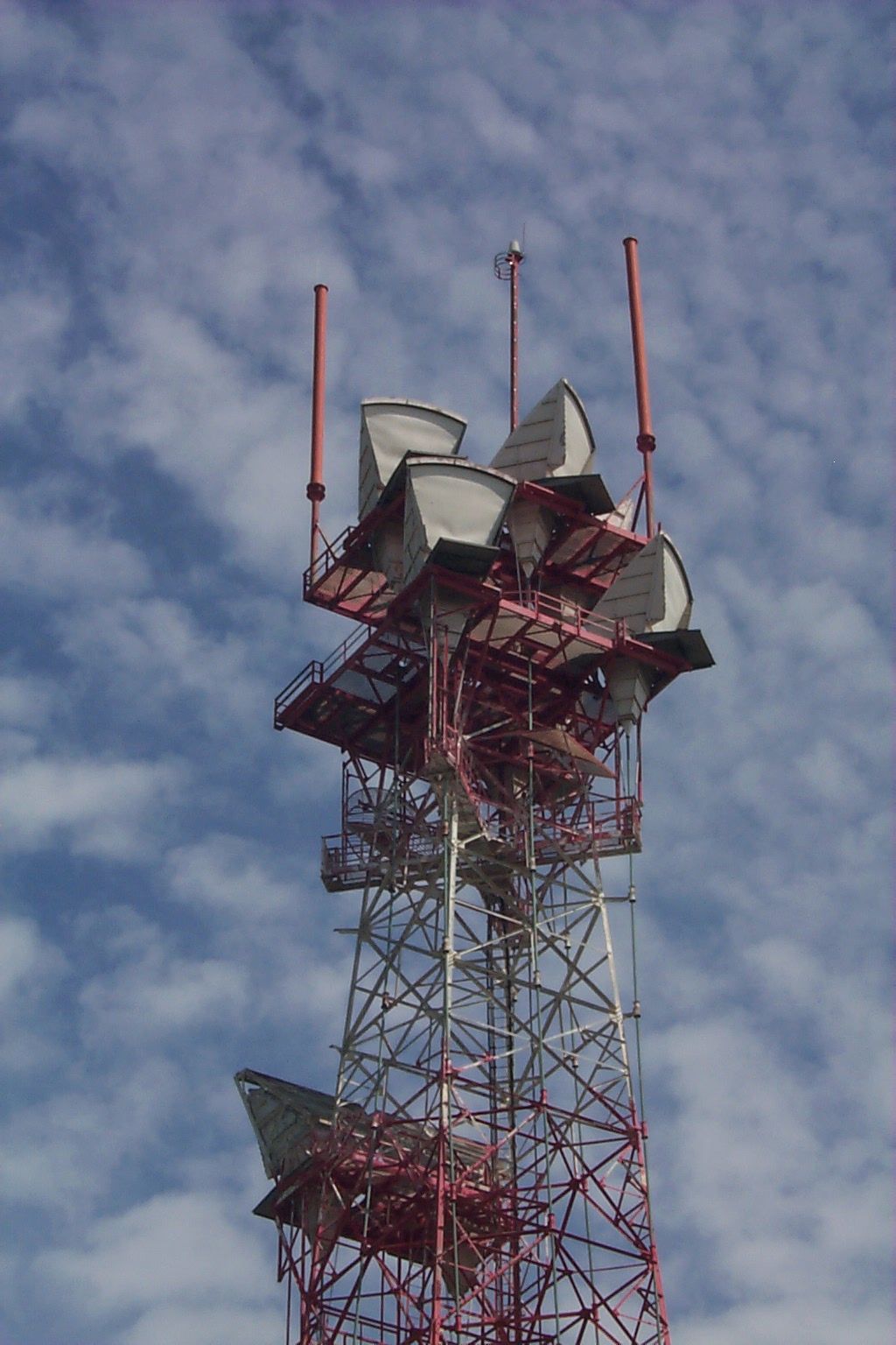
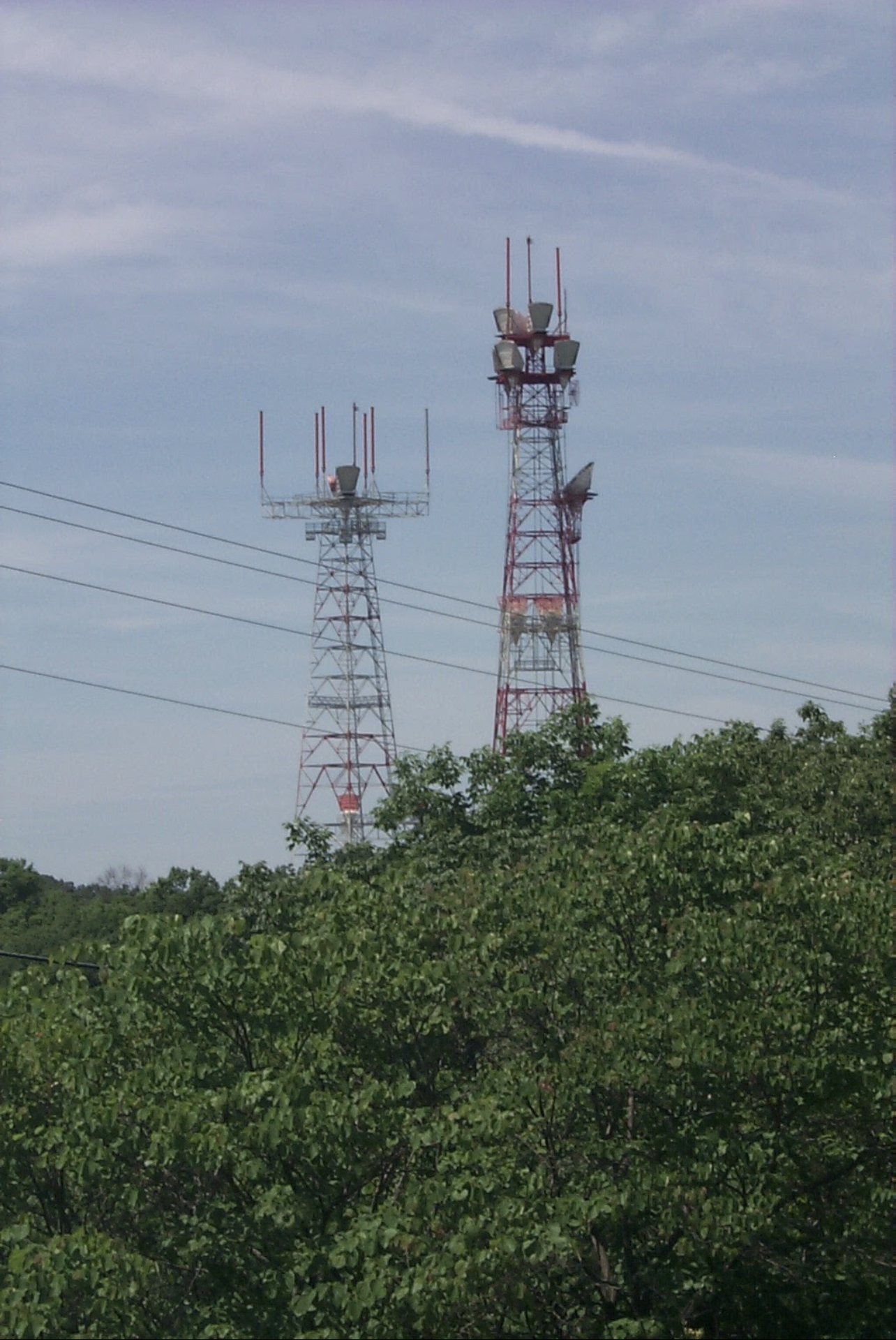
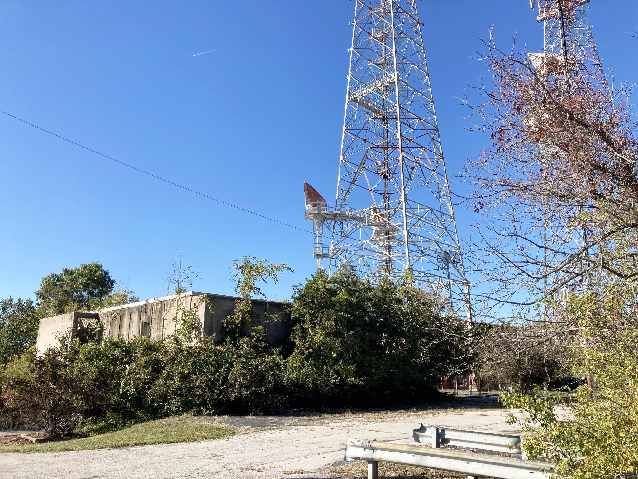
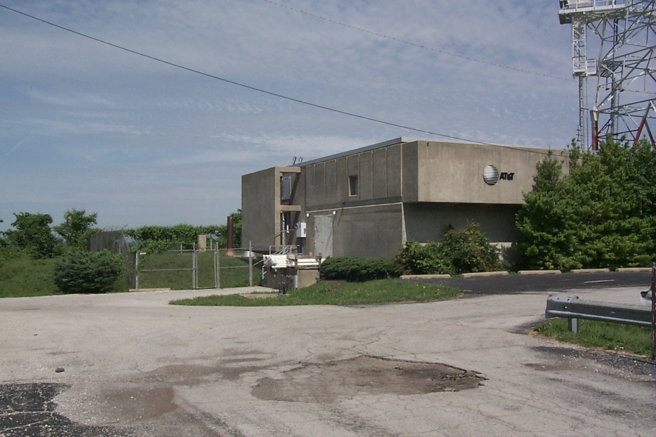
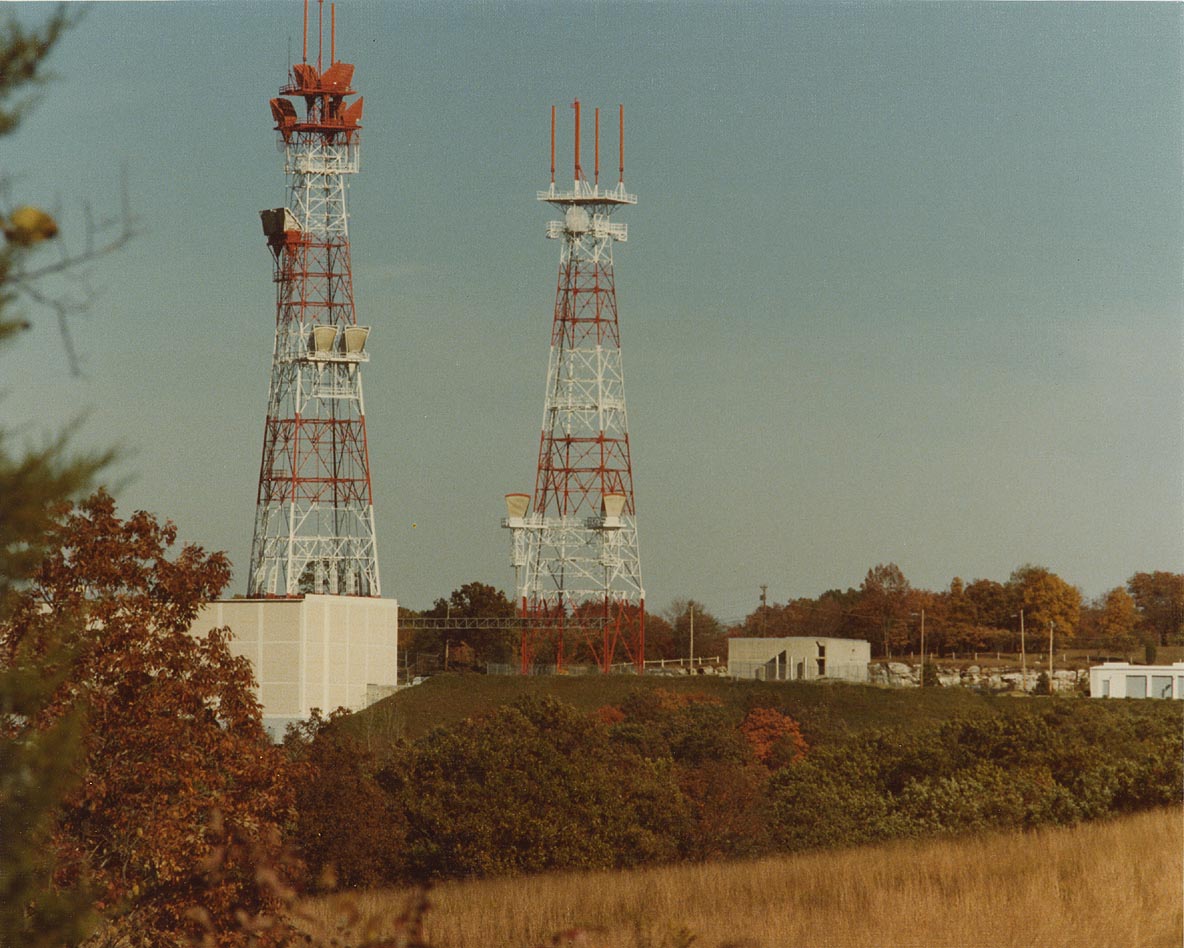
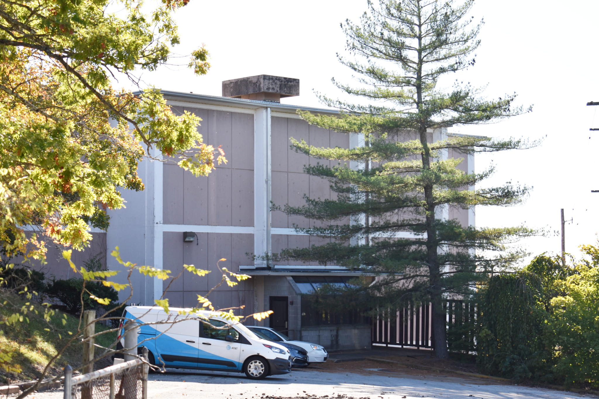
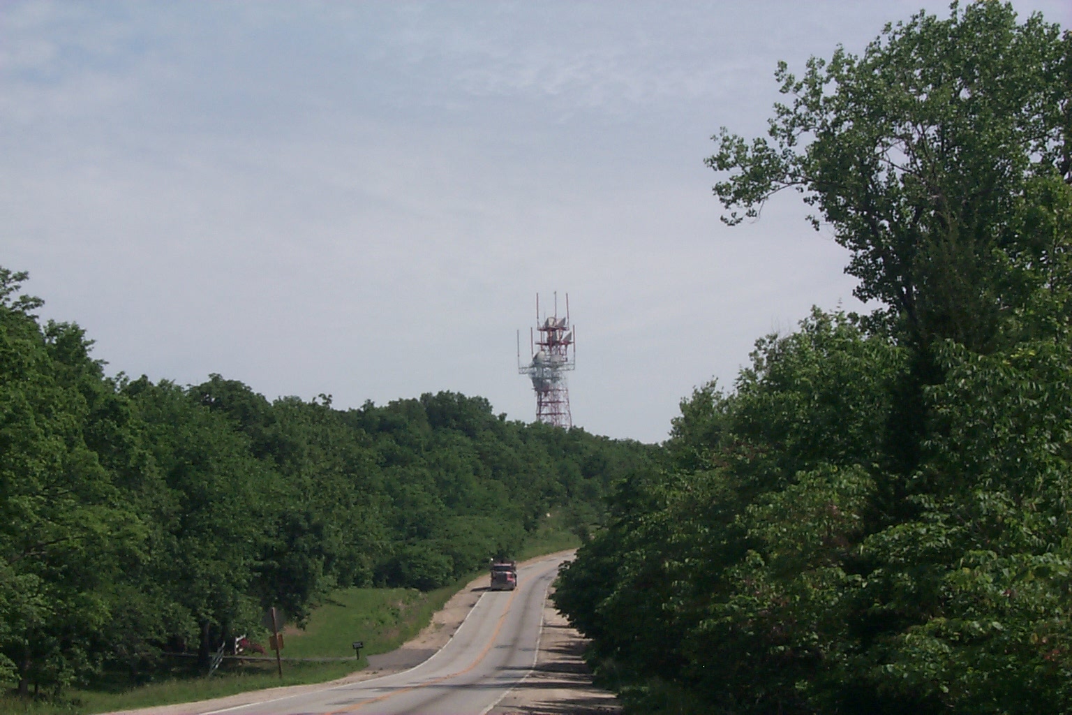
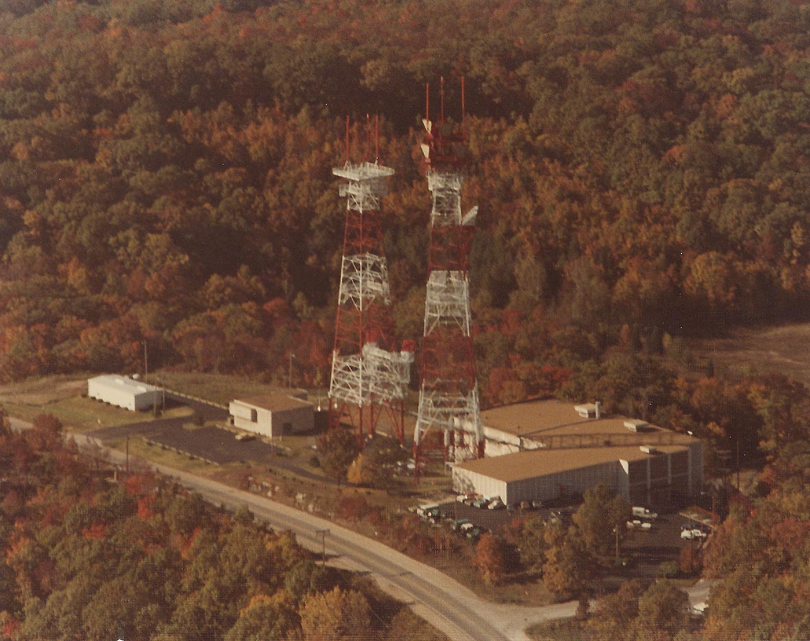
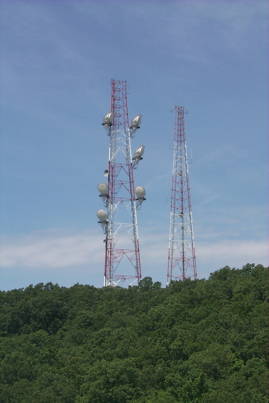
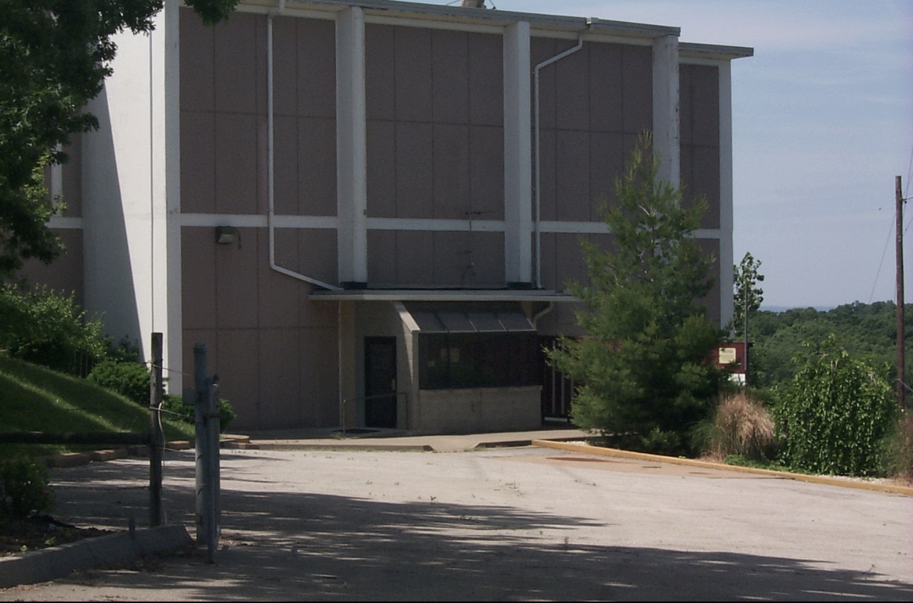
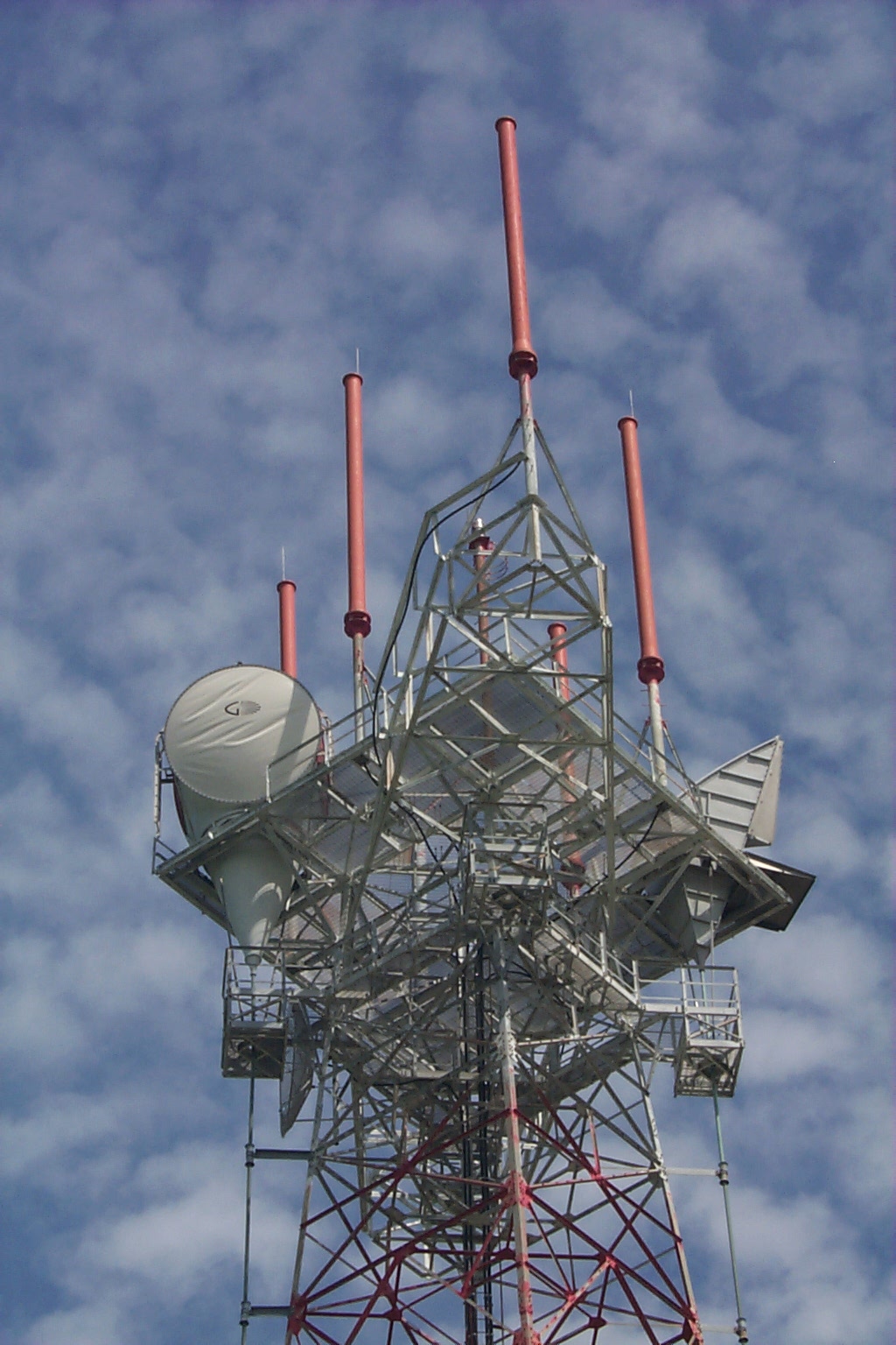
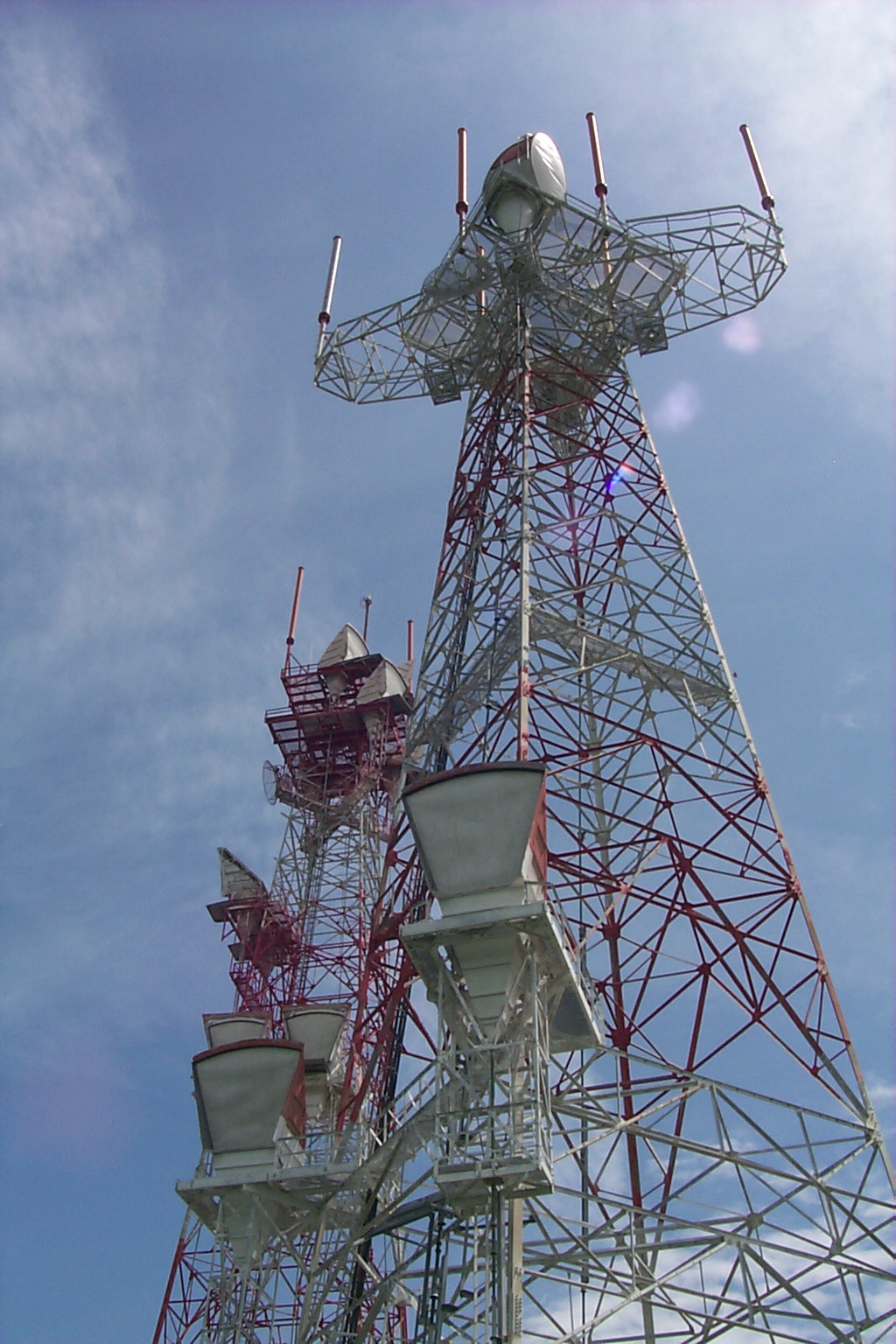
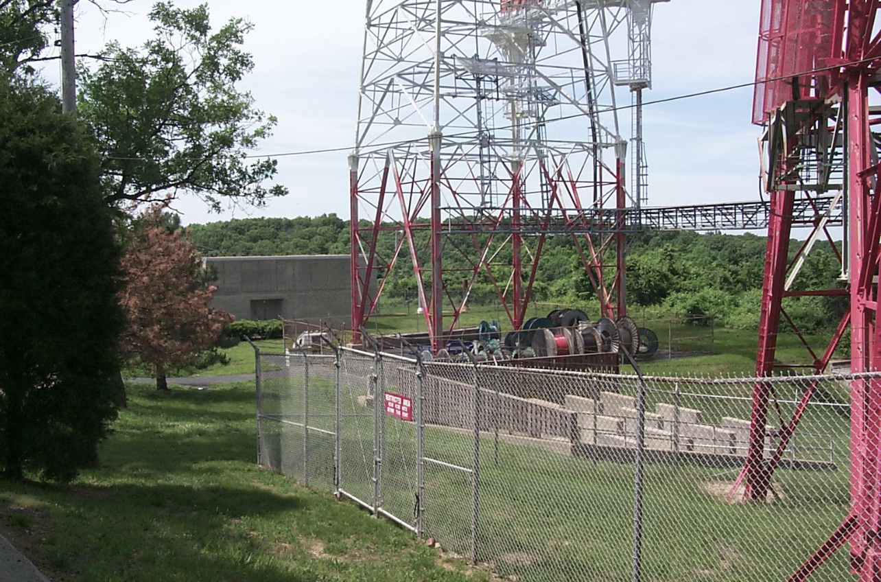
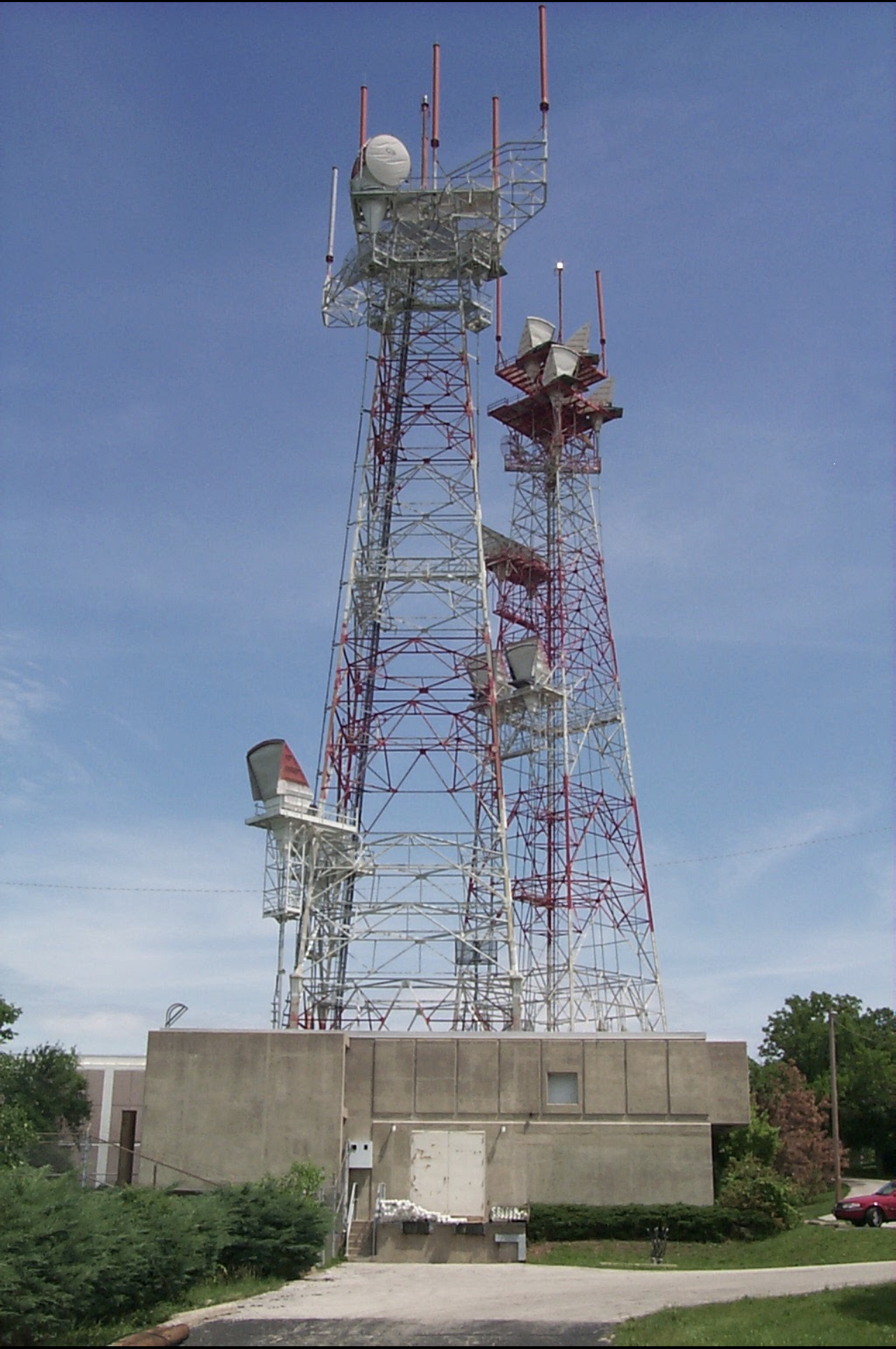
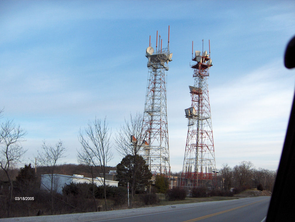
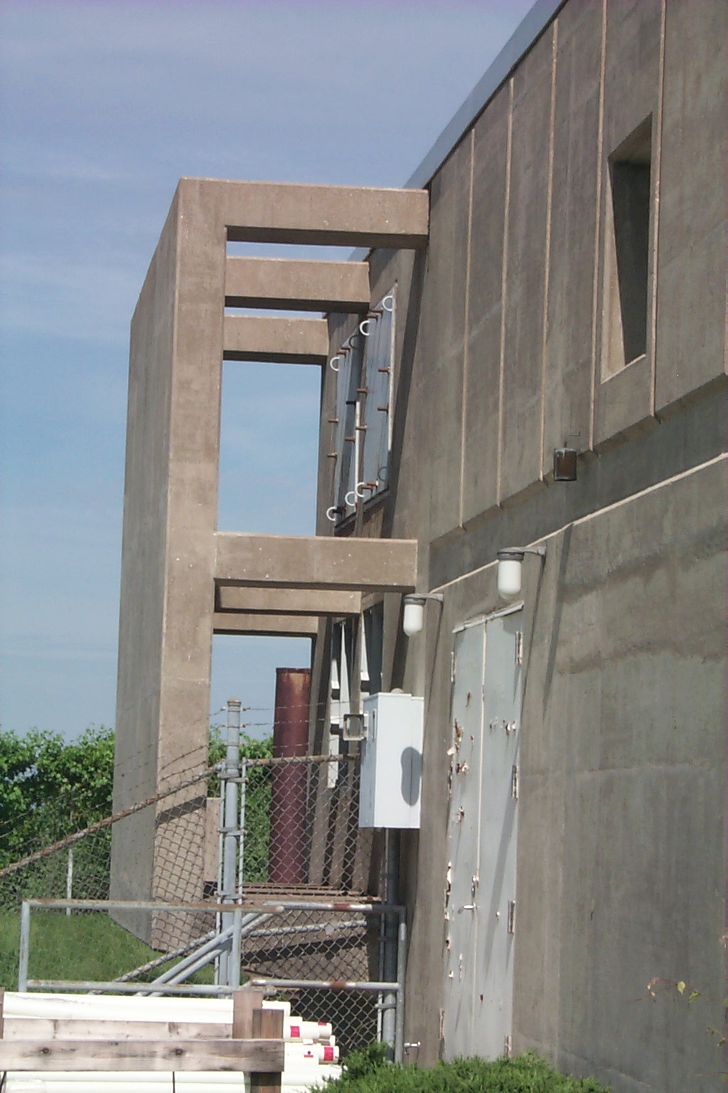
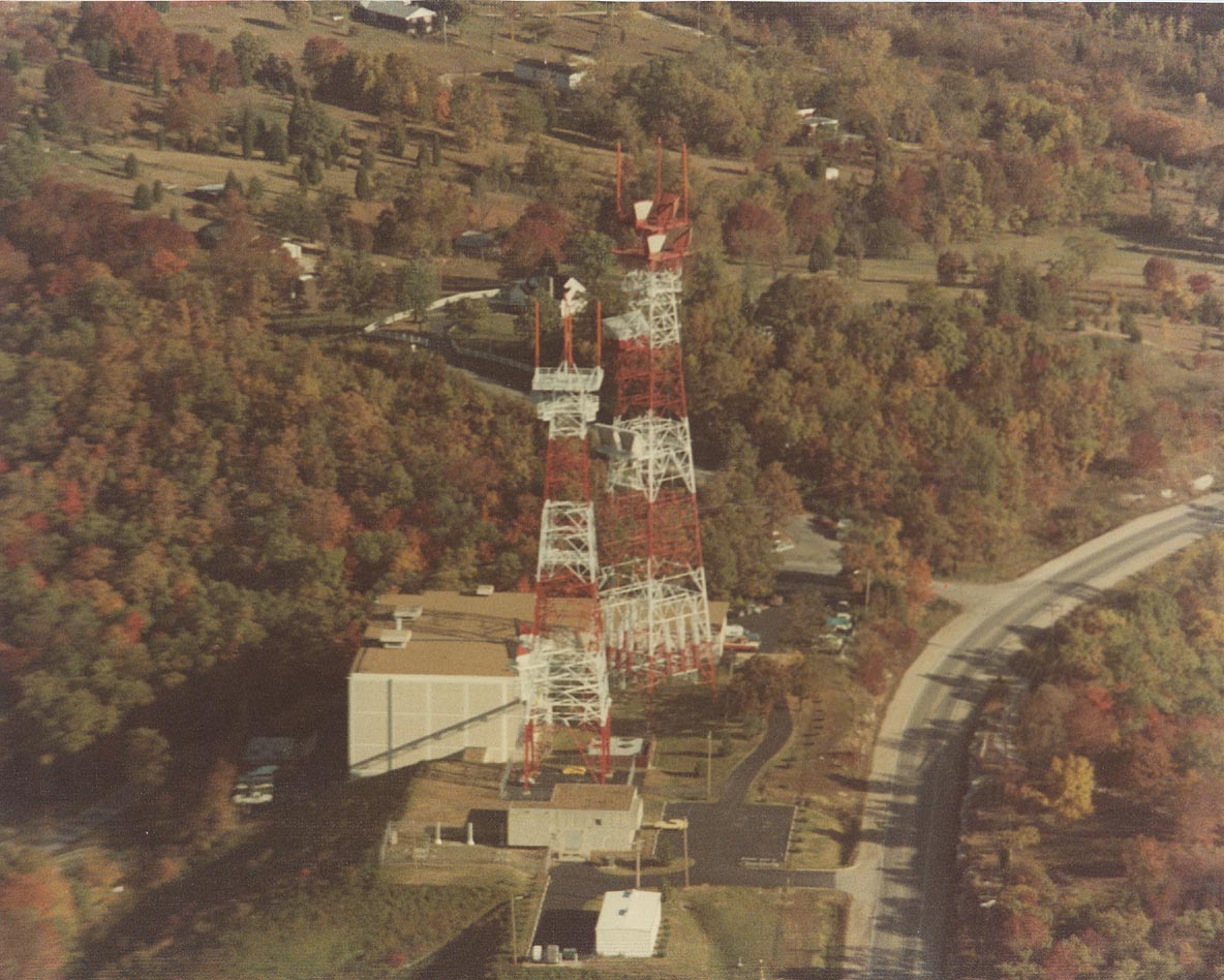
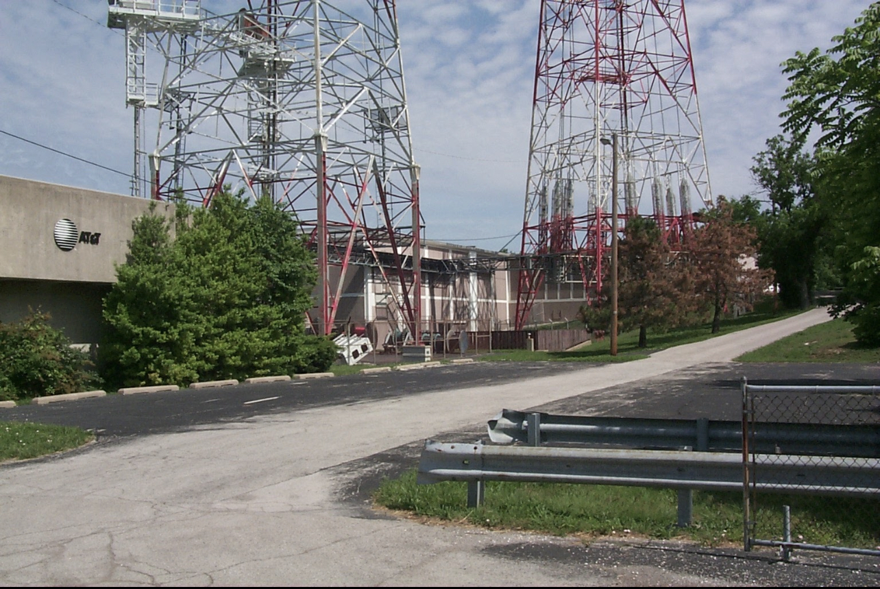
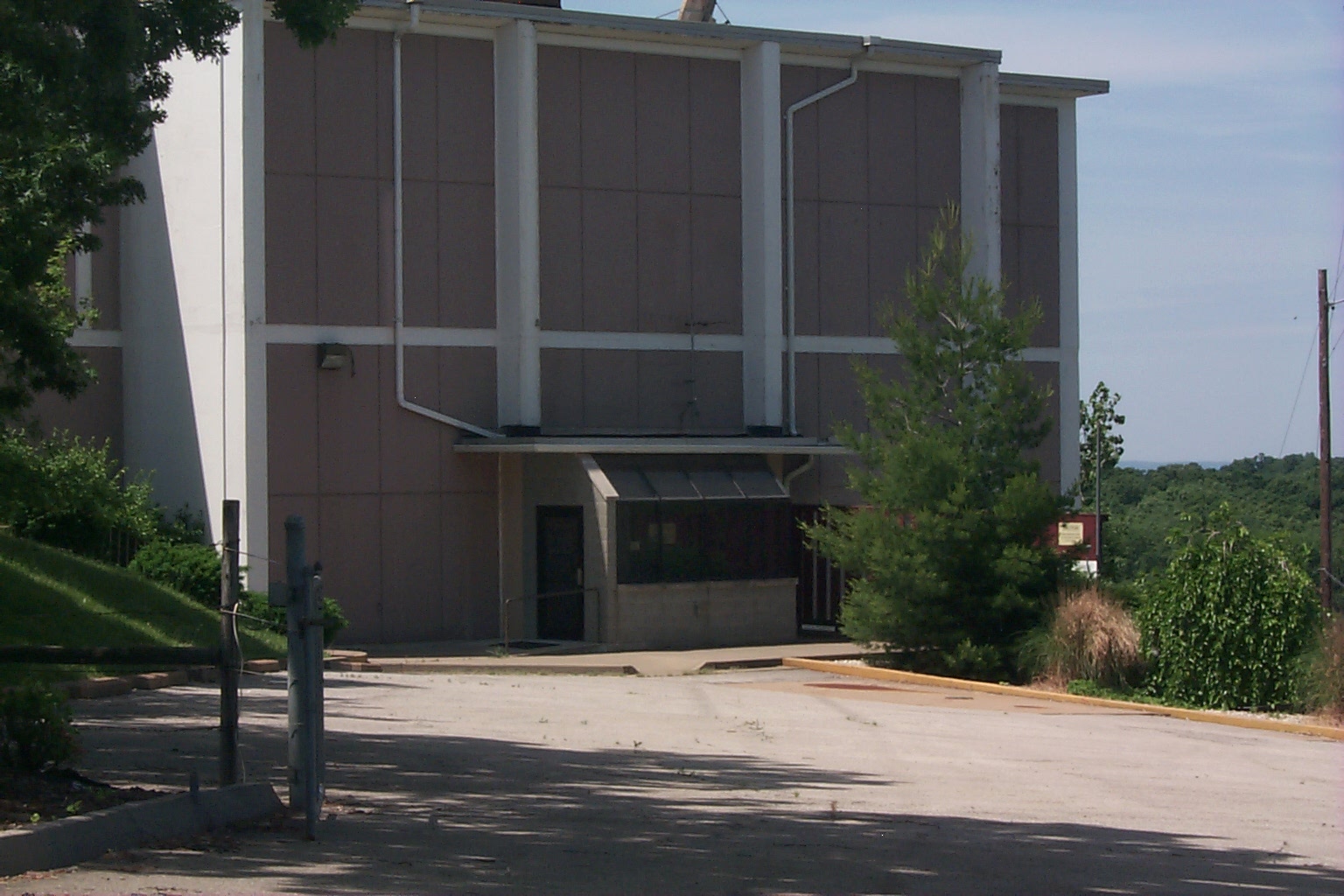
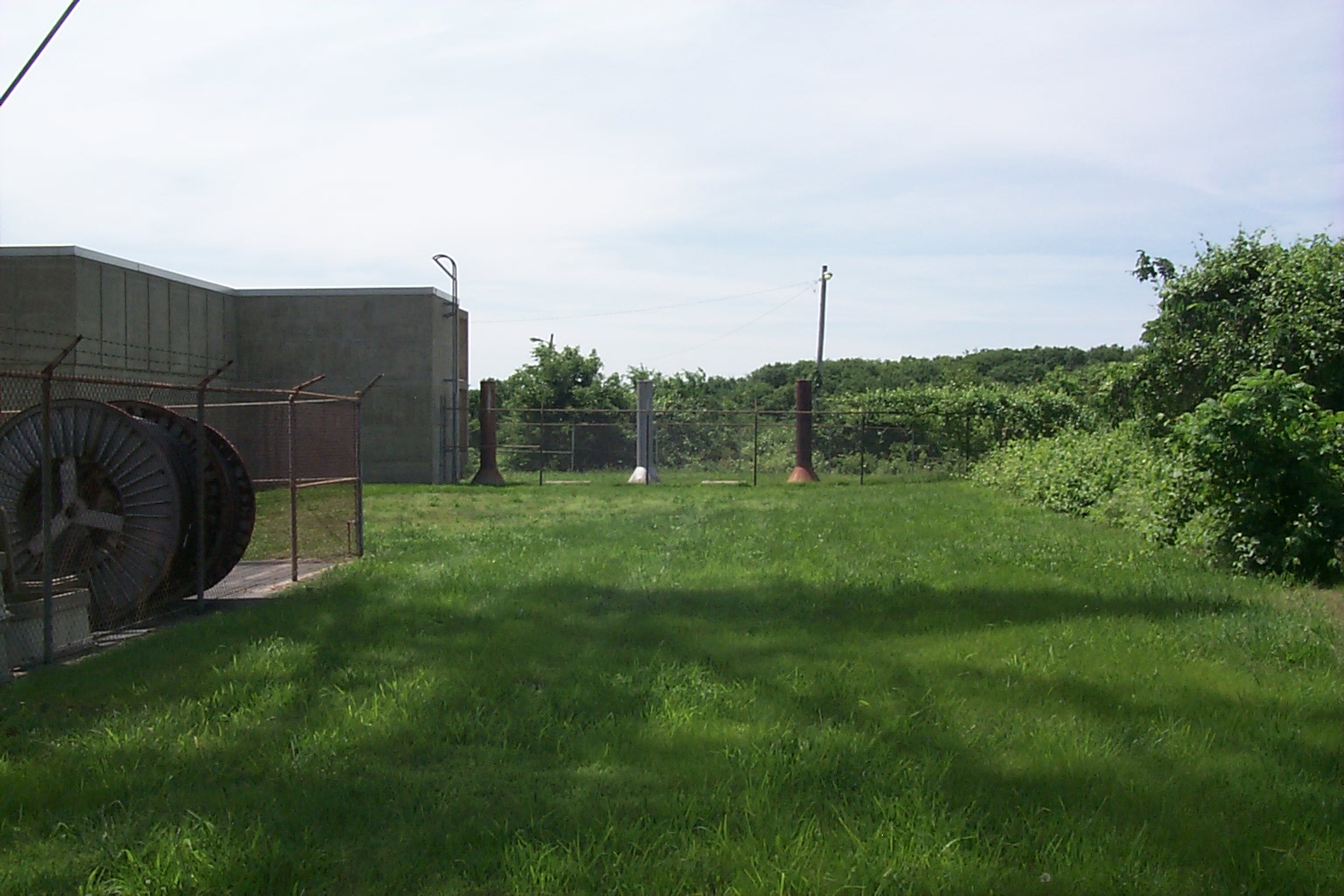
Hillsboro (spelled "Hillsborough" on the FCC record for the above license) is the western terminus of the L5 system originating at Lillyville, PA. The L5 system ends here and was never continued west, although an underground building was constructed outside of Kansas City. The underground is currently empty, and the microwave radio is turned down, although the site remains a major junction of fiber optic cables, and also has a 4ESS toll switch for the AT&T network. Hillsboro is also a Ground Entry Point for the Combat Ciders air/ground network in support of the National Command Authorities Airborne Command Post system. ARCHIVED FROM MARK FOSTER'S SITE
Site Documents
"County AT&T Facility Being Made Bigger" (The Jefferson Republic, 12/3/1964)
Site description (3/17/2025)
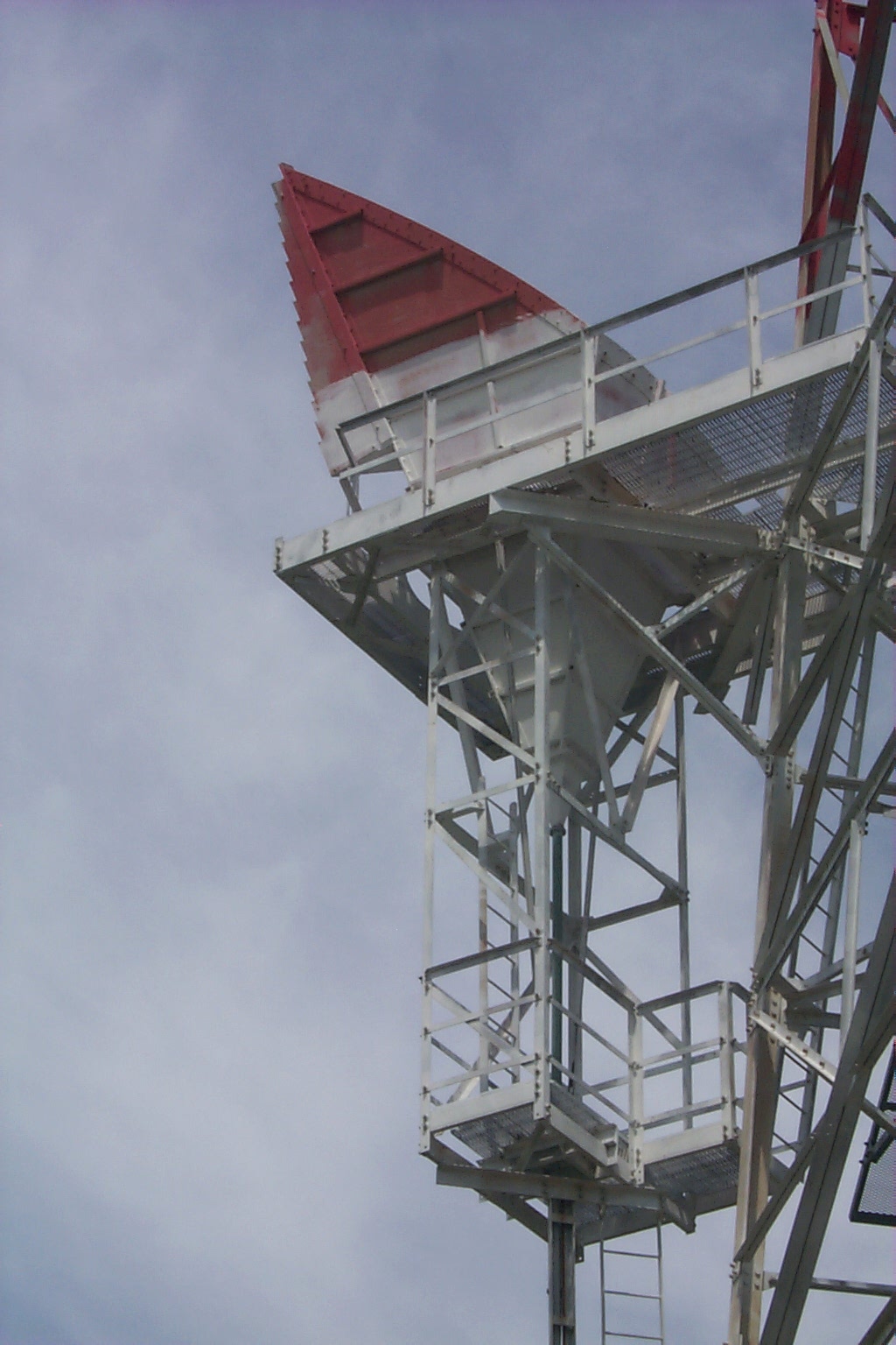
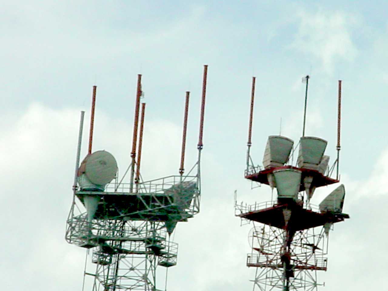
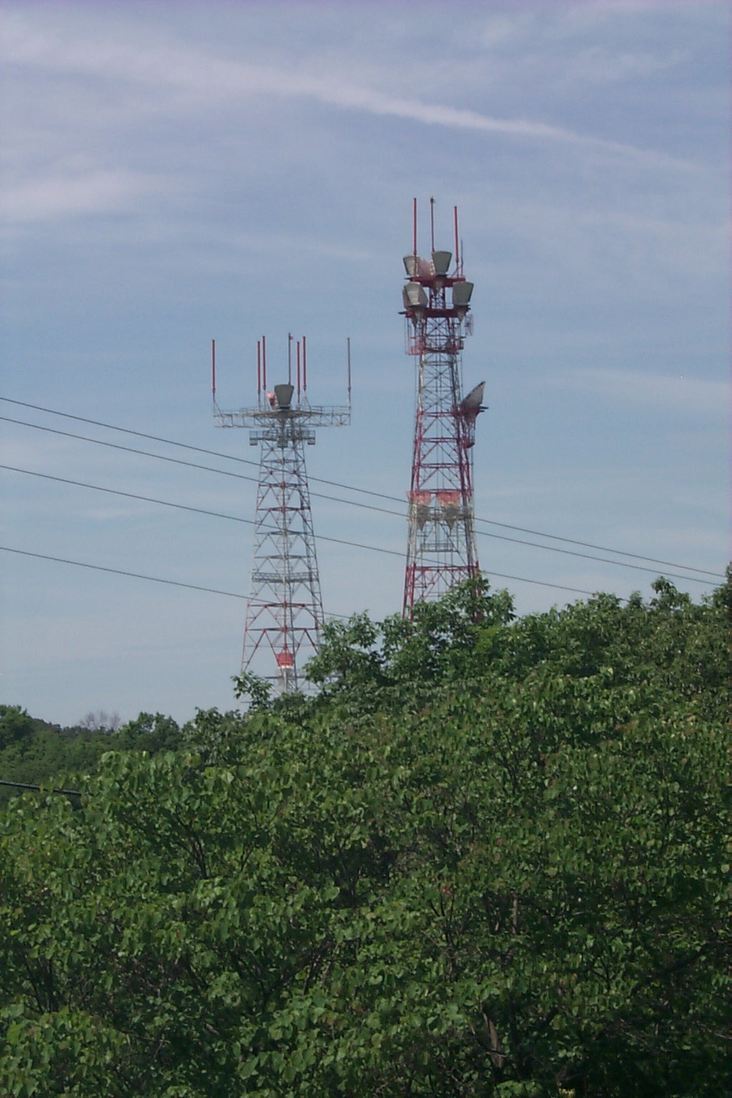
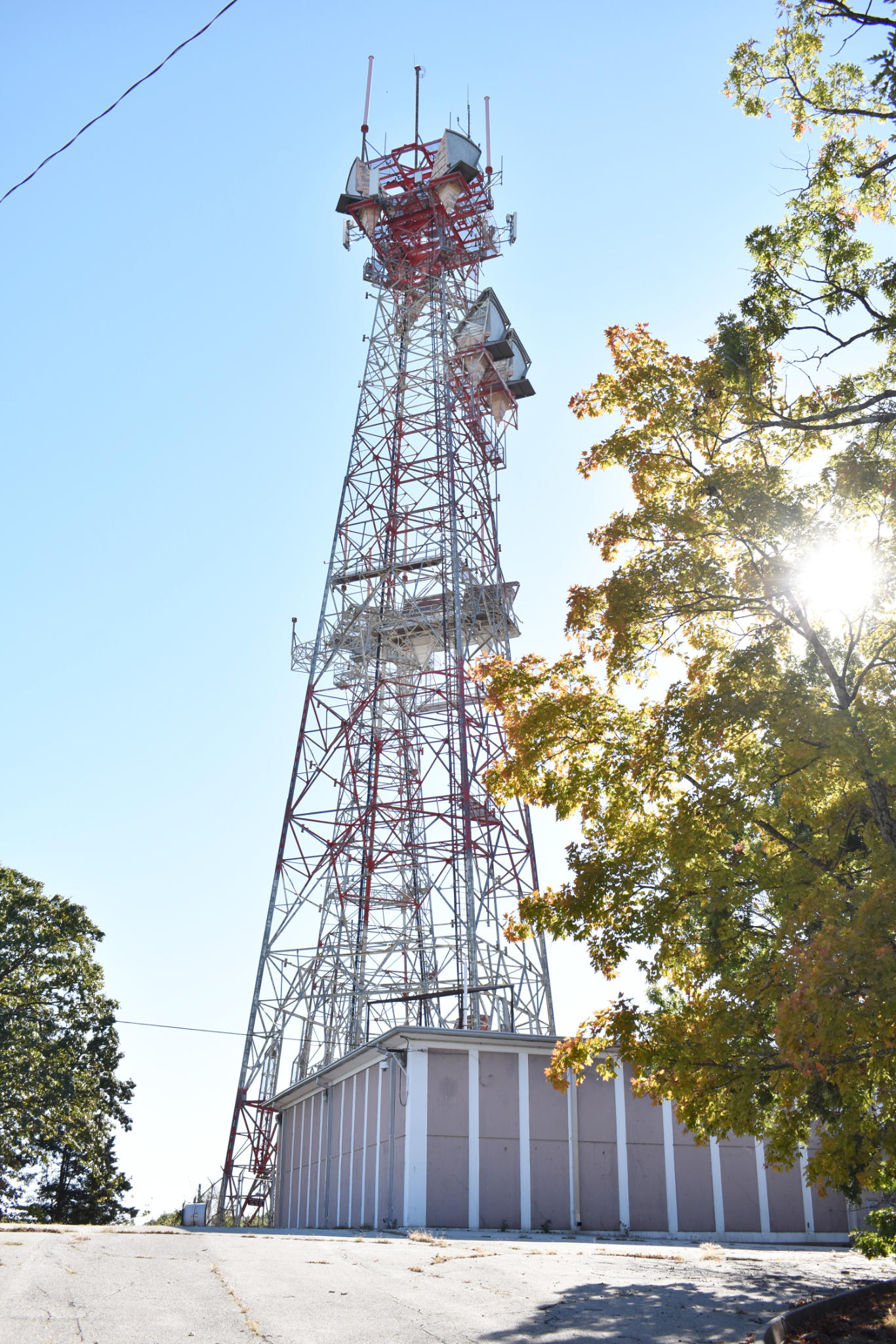
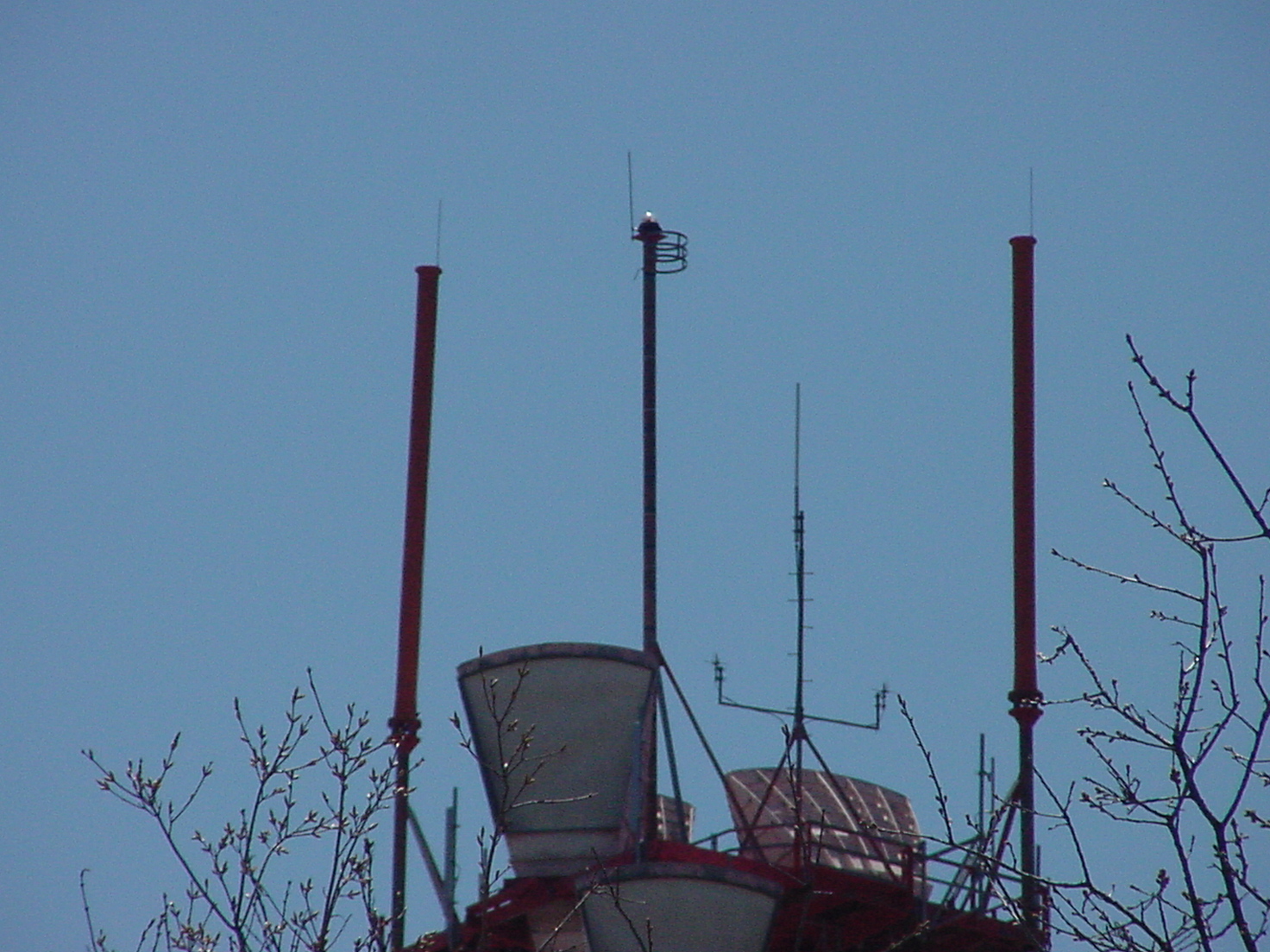
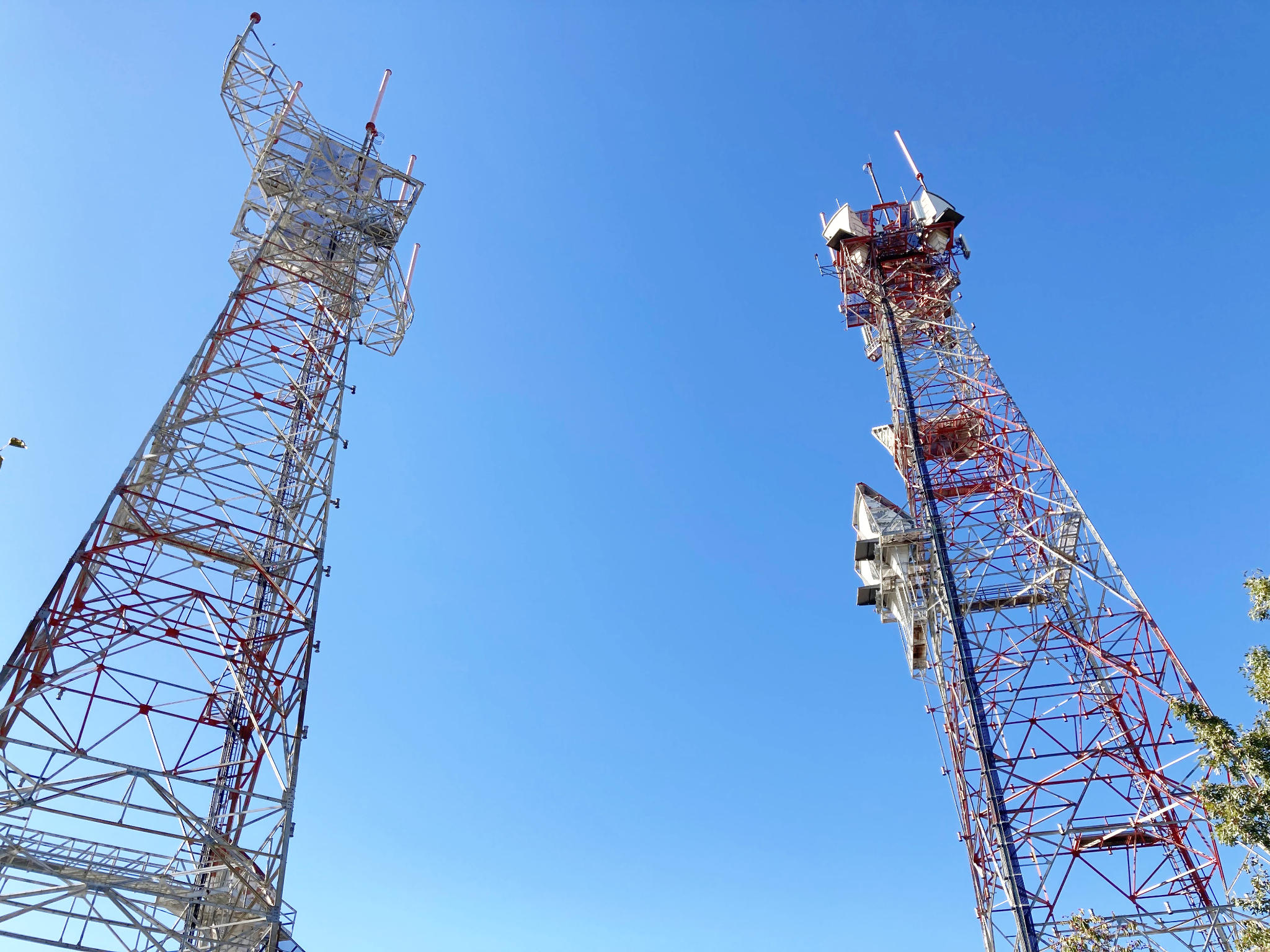
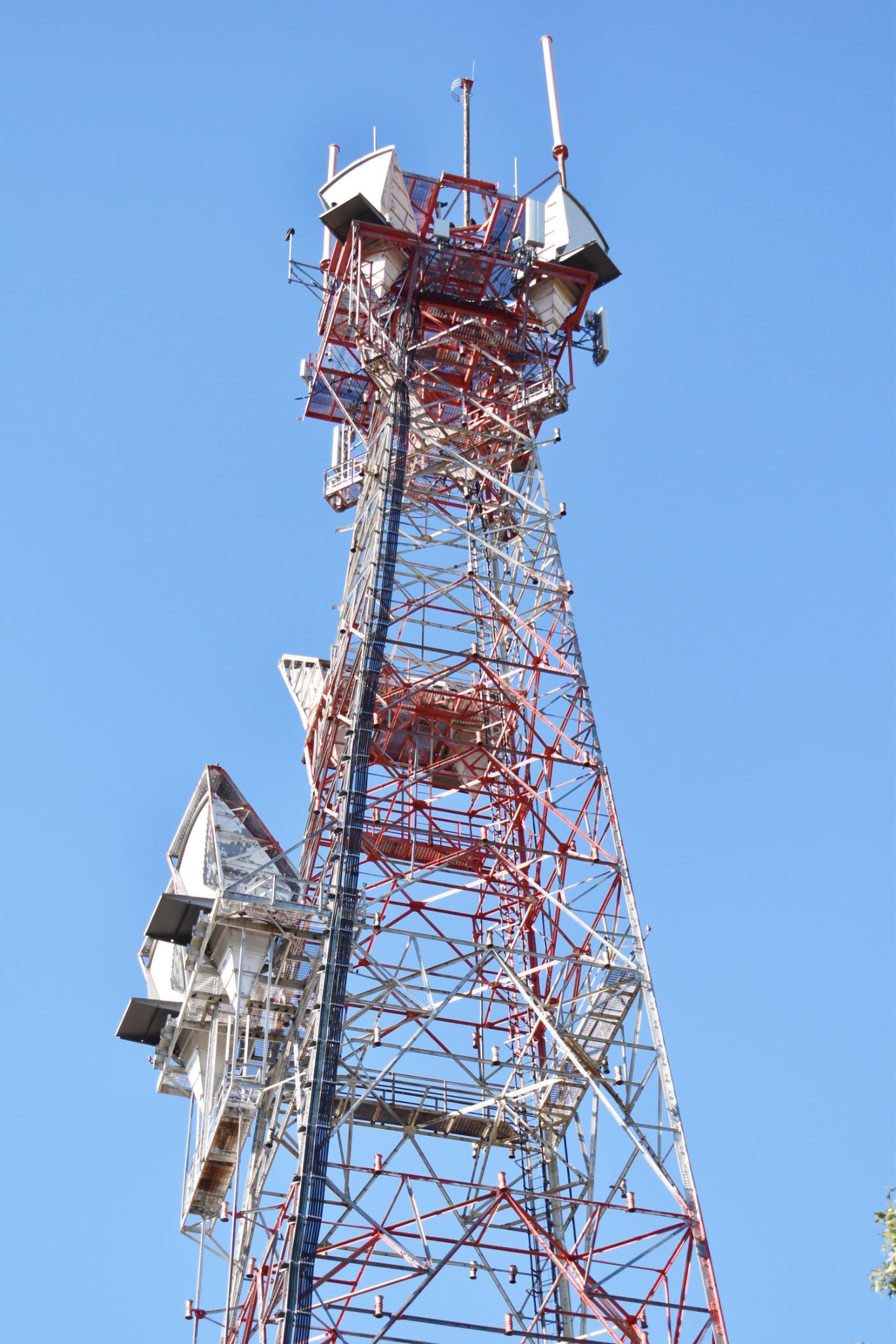
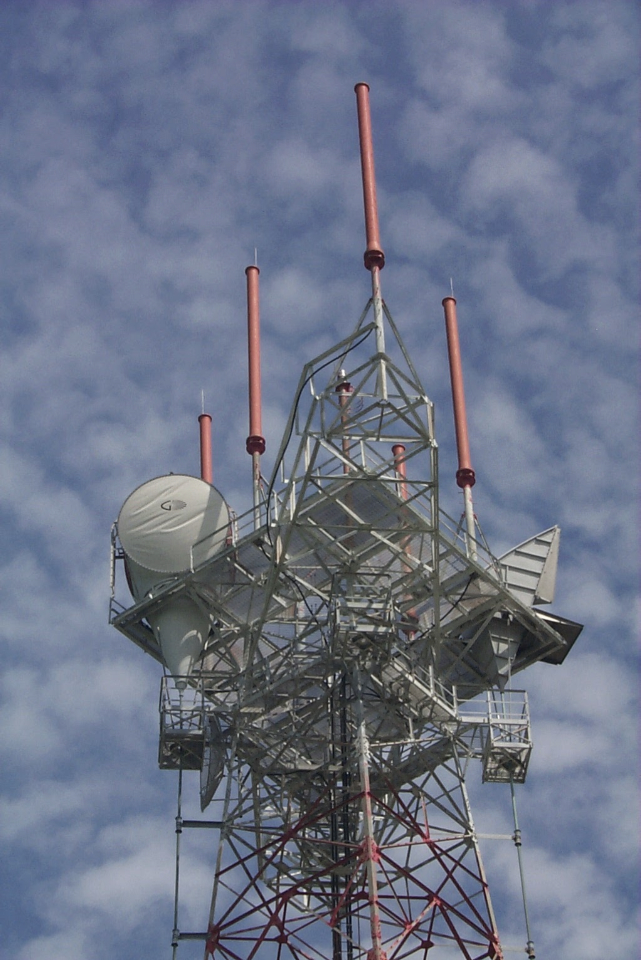
Site Pictures
Add site Pictures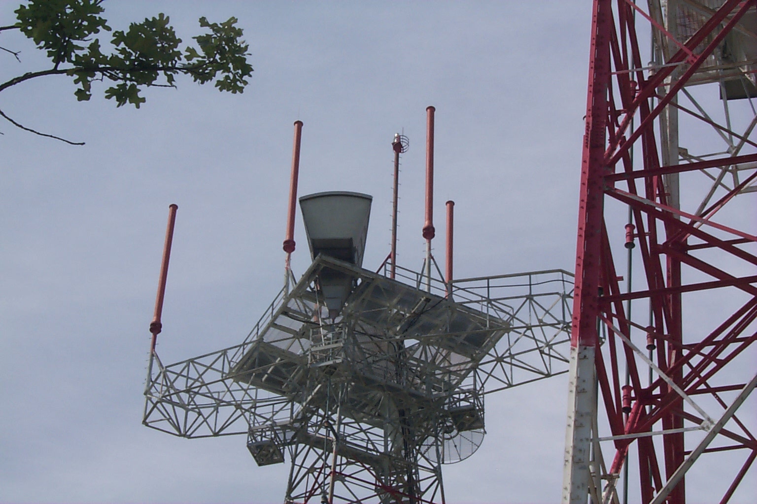


.jpg)


Upload Site Images
For any questions or comments please email [email protected].