HISTORY Collapse/Expand
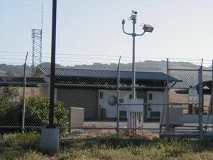
San Luis Obispo Junction is actually the end of the Mojave Greenbelt L3I Transcontinental Cable Route. The next main station east of SLO is Mojave (with a power feed station at Maricopa). Originally powered by a pair of 500 KW White Superior V-12 diesel generators. The KS White-Superiors served as the primary power package for the western part of AT&T's cold war infrastructure (as opposed to Solar 750 Gas Turbines found in the east and later L-4 western build out). The White Superiors have been replaced in part by a Caterpillar outdoor "Package".
SLO had one of the only two Number 5 Dial Assistance Switchboard for the AUTOVON system. SLO also was the landing point for the Hawian cable (HAW-02, installed in 1964) insuring a secure connection for Hawian DoD traffic to the AUTOVON LCXR system. SLO served as the "Pacific Gateway" for the AUTOVON system. Trans Pacific Cable TPC-4 was also installed in October of 1992.
