SITE HAS TO BE SOMEWHERE IN HERE - Nevada
Address: 1707 Mountain View Drive
Paths To:
View On: Long Lines Map | Google Maps | Bing Maps
View Random Site
Site Notes
Add site notePossible site? Collapse/Expand
41.175716, -114.954119
Looks like this might be the tower. It cross references nicely to the LWL airport and LWL VOR tower.
Possible Tower Location Collapse/Expand
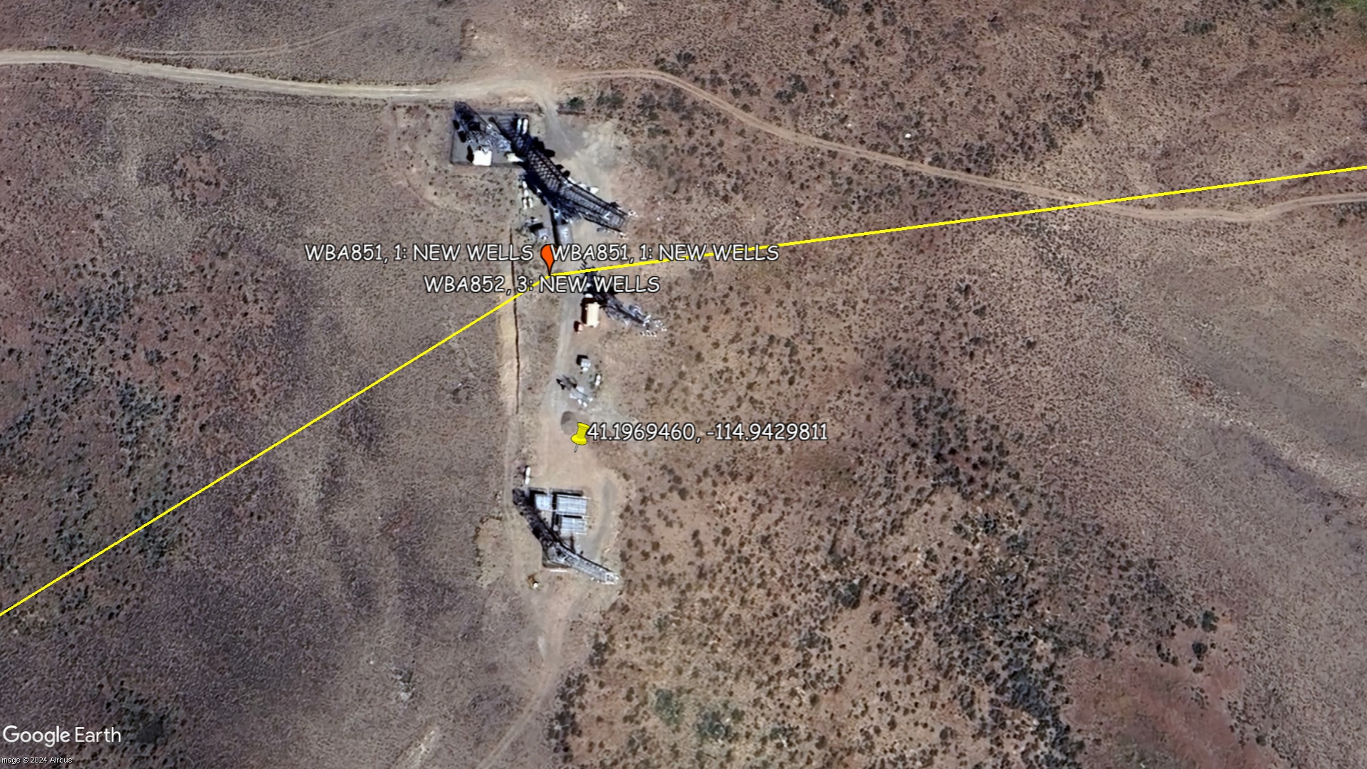
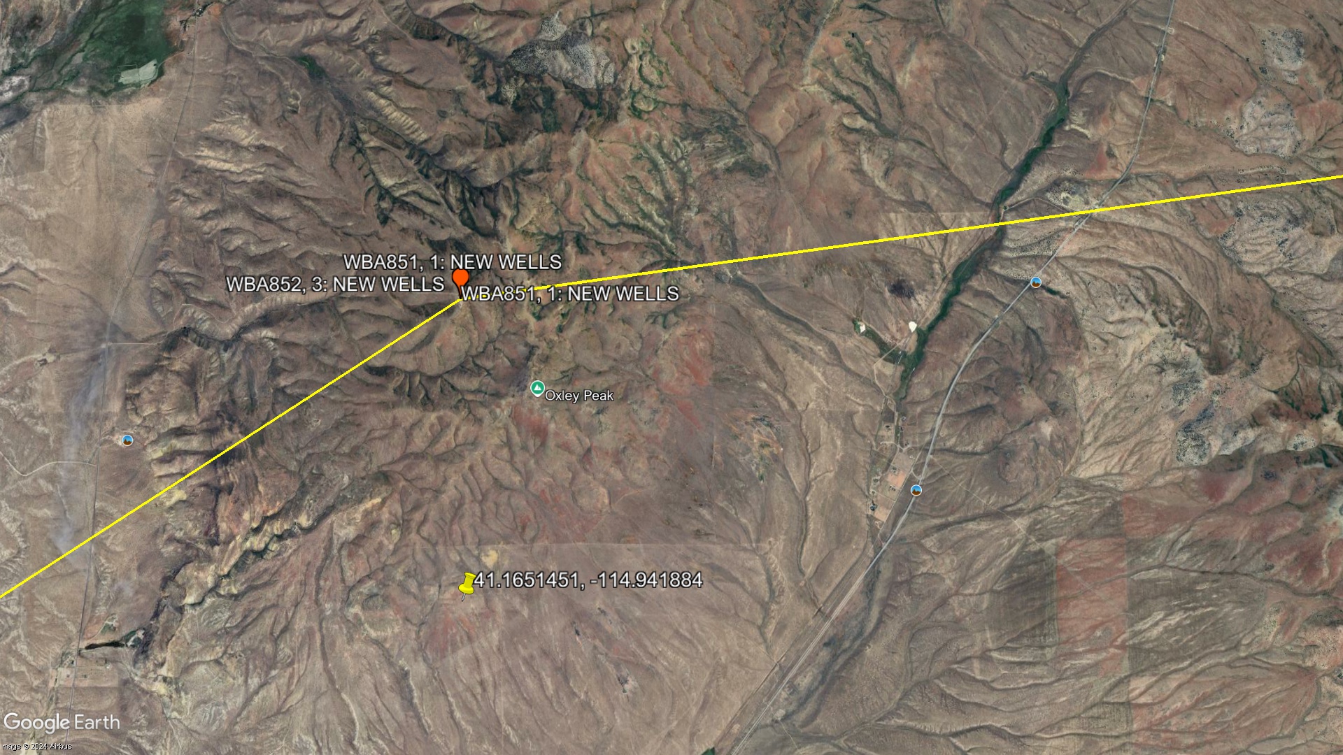
(41.1969460, -114.9429811)
https://maps.app.goo.gl/7Yoe2WrNH31okEKN7?g_st=com.google.maps.preview.copy
Former MCI (New Wells) Tower Collapse/Expand
41.1969460, -114.9429811 (Nothing AT&T or Bell System related at this location)
Former MCI Tower Collapse/Expand
MCI Expired Routes Info >> WBA851, Path 4, Segment 1: NEW WELLS - DEETH << WBA851, Path 3, Segment 1: NEW WELLS - PILOT RANGE
Location Confirmed via Google Maps Images Collapse/Expand
39.32307115697819, -119.94422865488393
Site Documents
MCI (New Wells) Tower (Former Nearby Routes)
Site Pictures
Add site Pictures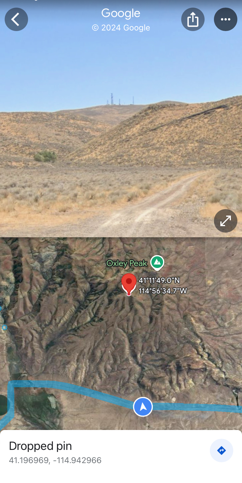
Upload Site Images
For any questions or comments please email [email protected].