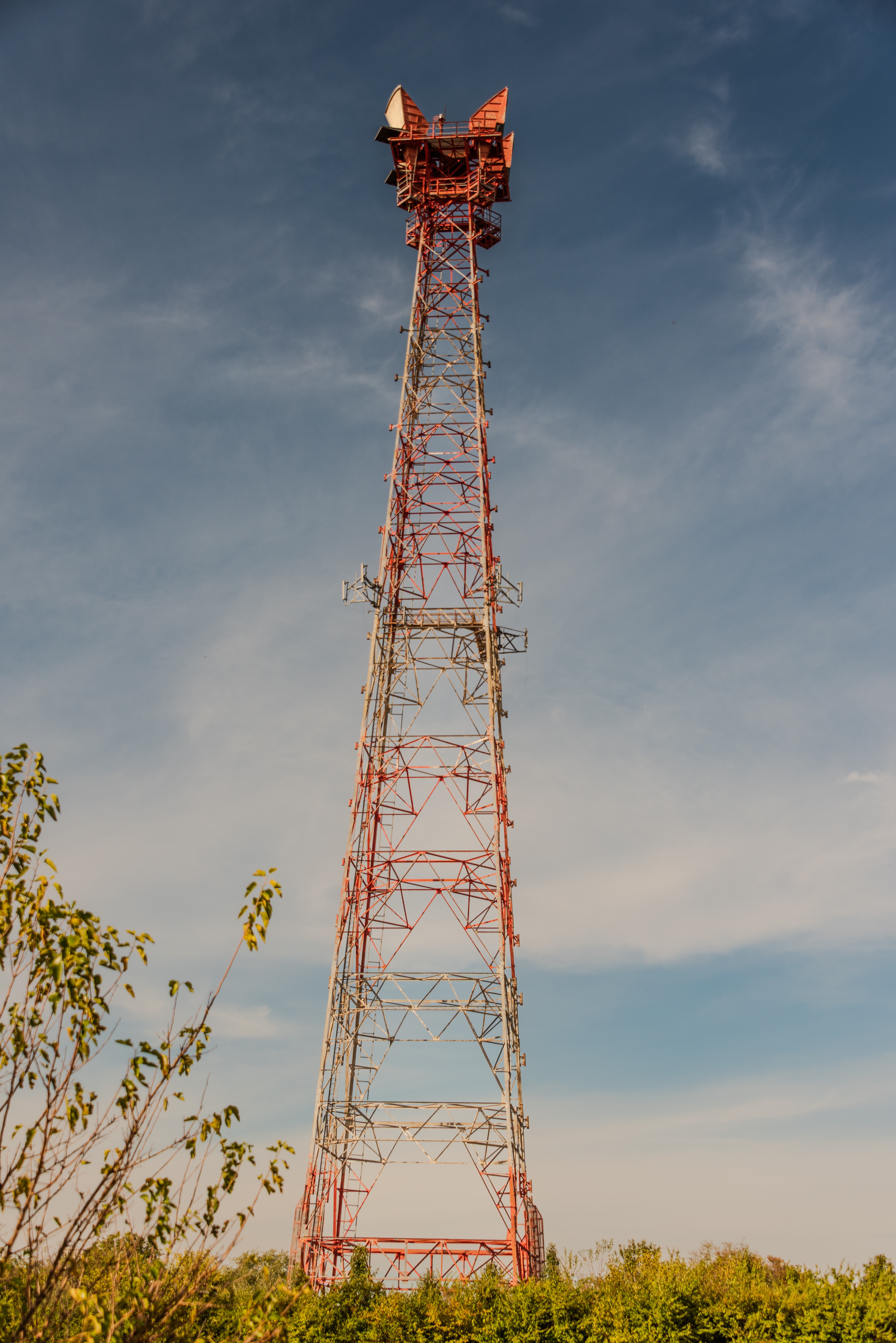
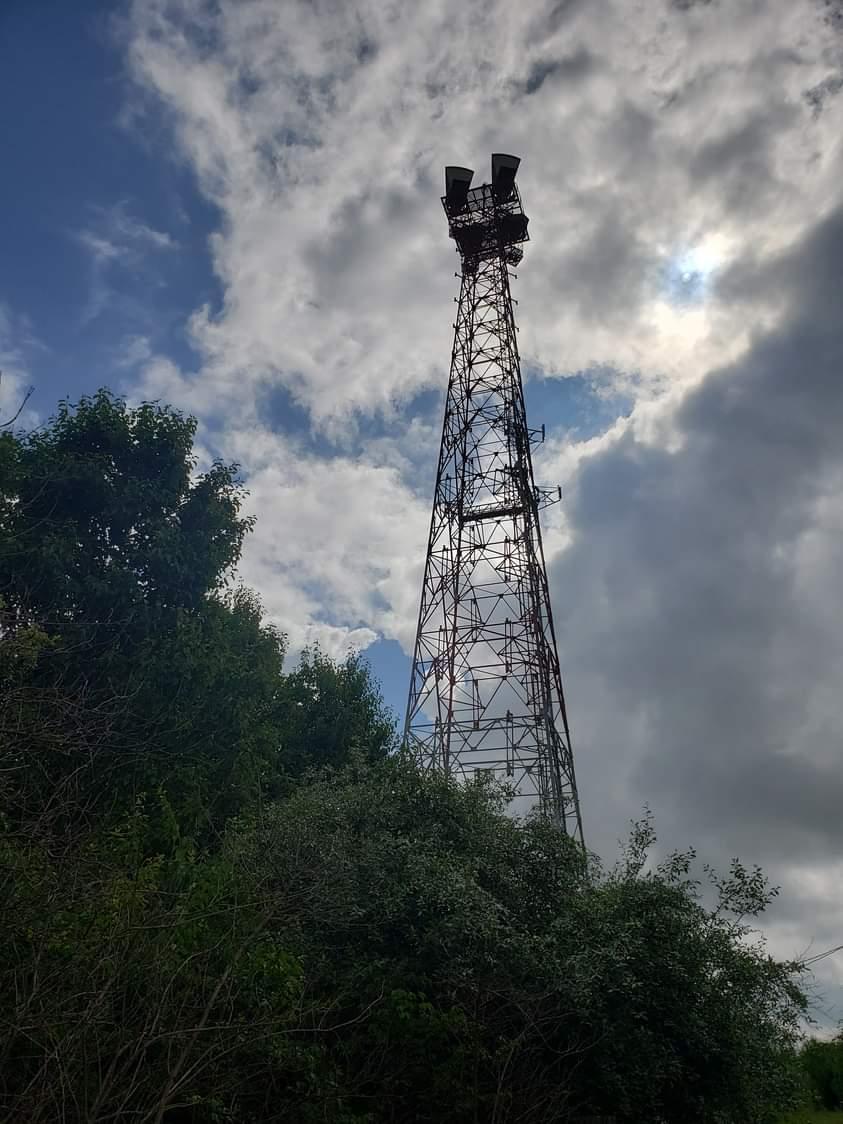
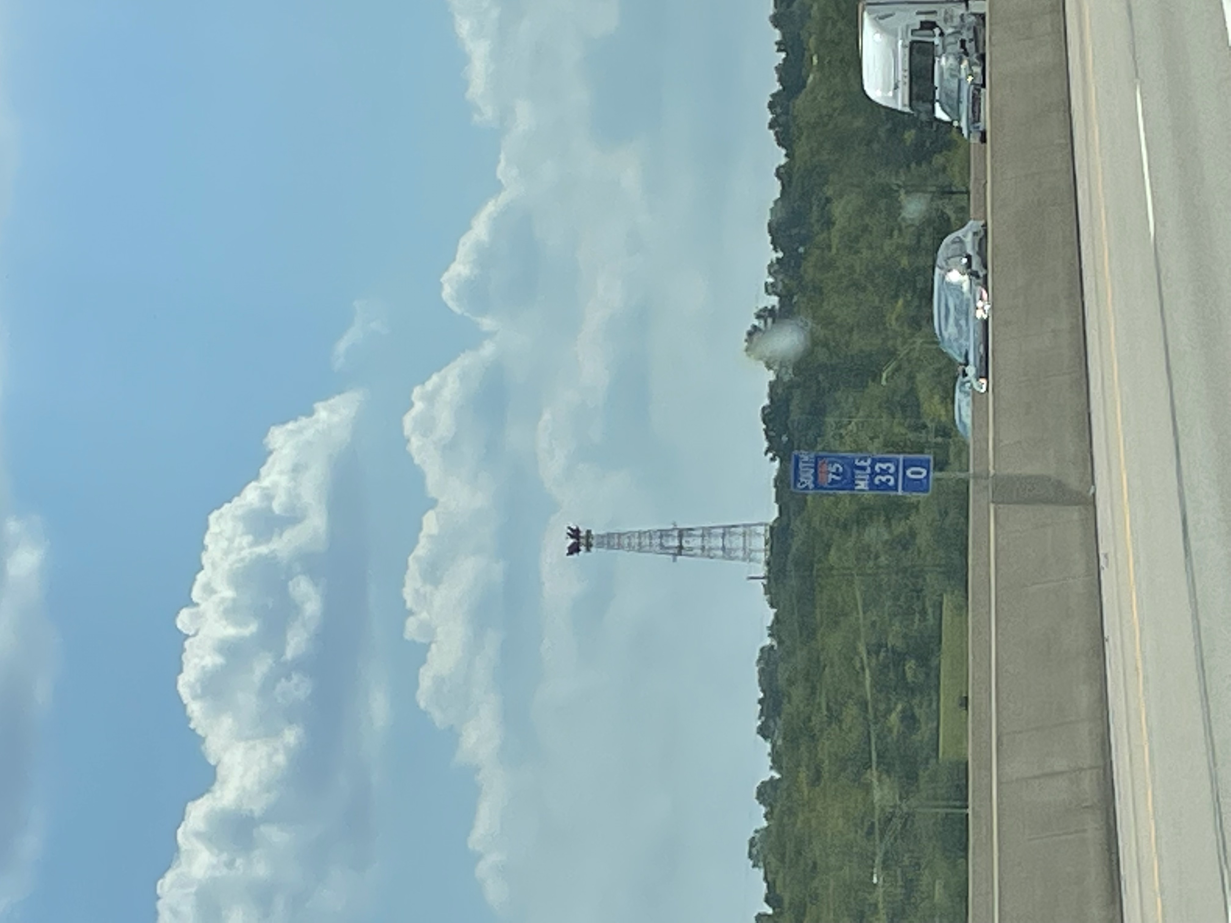
BLUEBALL OH- Ohio

Coordinates: 39.48086944, -84.31808889
Address: 2295 A UNION ROAD Franklin 45005
Paths To: WILMINGTON OH2   Shandon
View On: Long Lines Map | Google Maps | Bing Maps

View Random Site

Site Notes

Add site note

Observations as of   Collapse/Expand

Lattice frame tower, with concrete building of typical size. 4 KS horn antennas on top.

Site is owned by American Tower, and used for cellular.

Site Documents

Site Pictures

Add site Pictures

This event has 0 comments.

Please log in to leave a comment.

All information is provided for free to the public. Pictures and Documents are provided by supporters of the website and for that I am very gateful.
For any questions or comments please email [email protected].