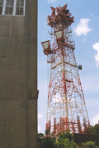
SITE HISTORY (MARK FOSTER'S SITE) Collapse/Expand
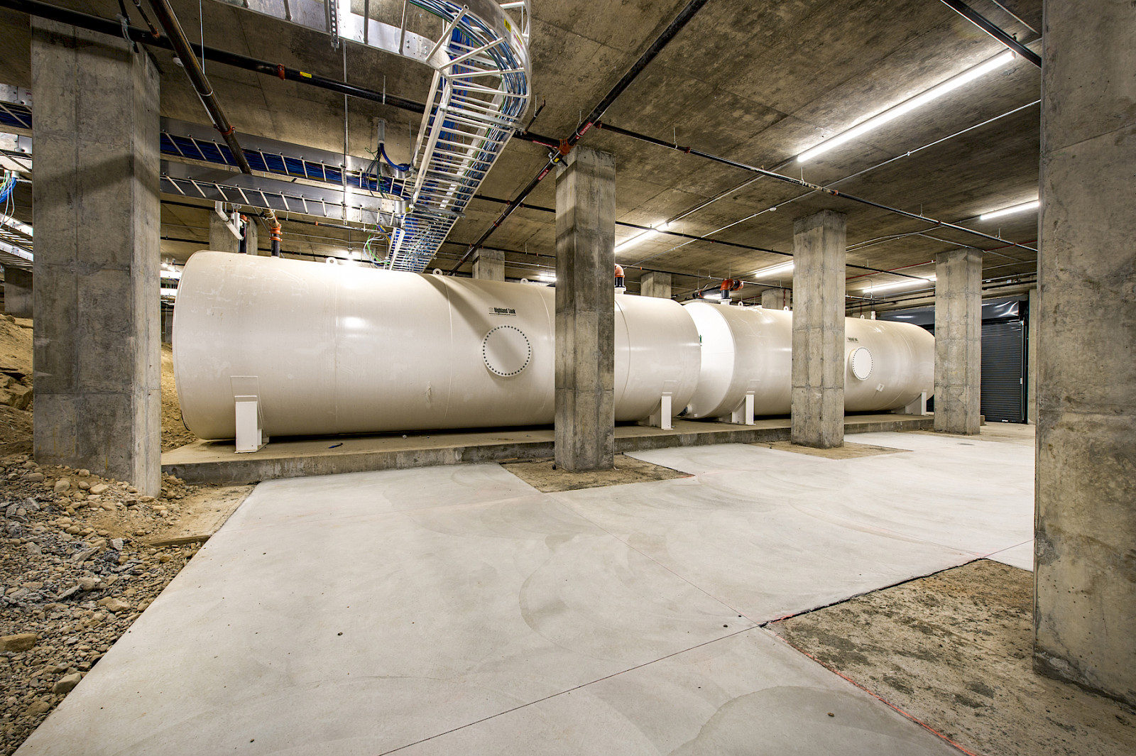
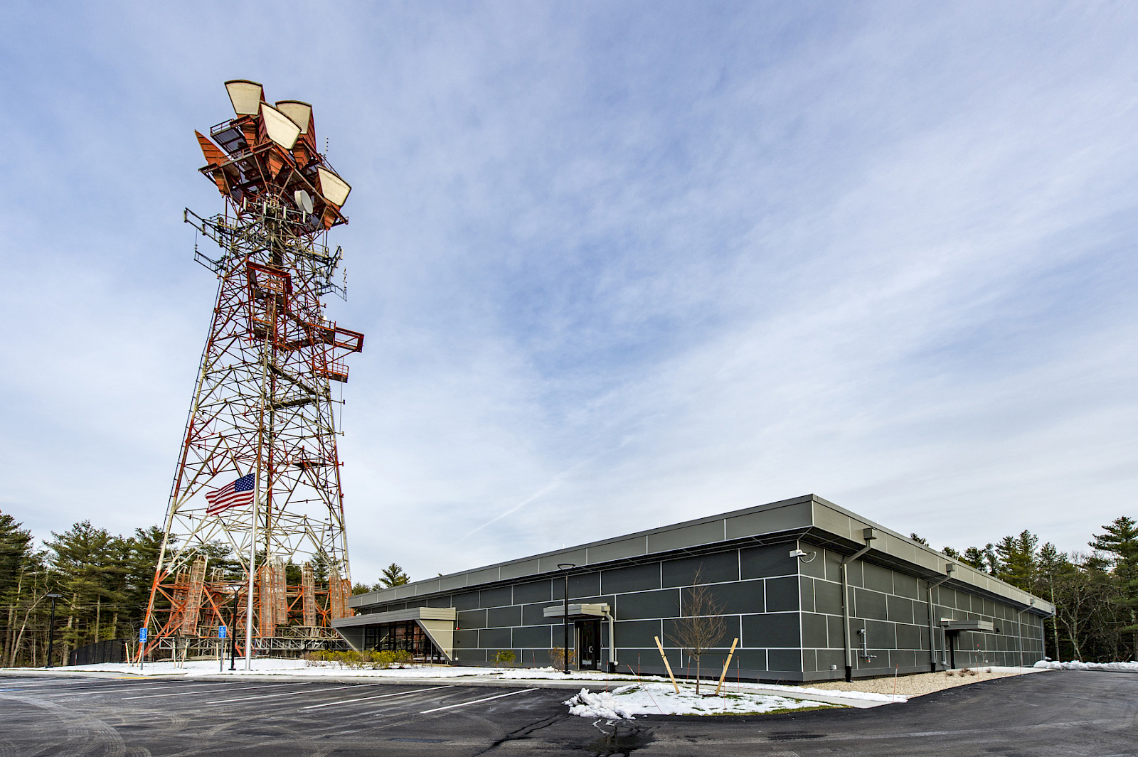
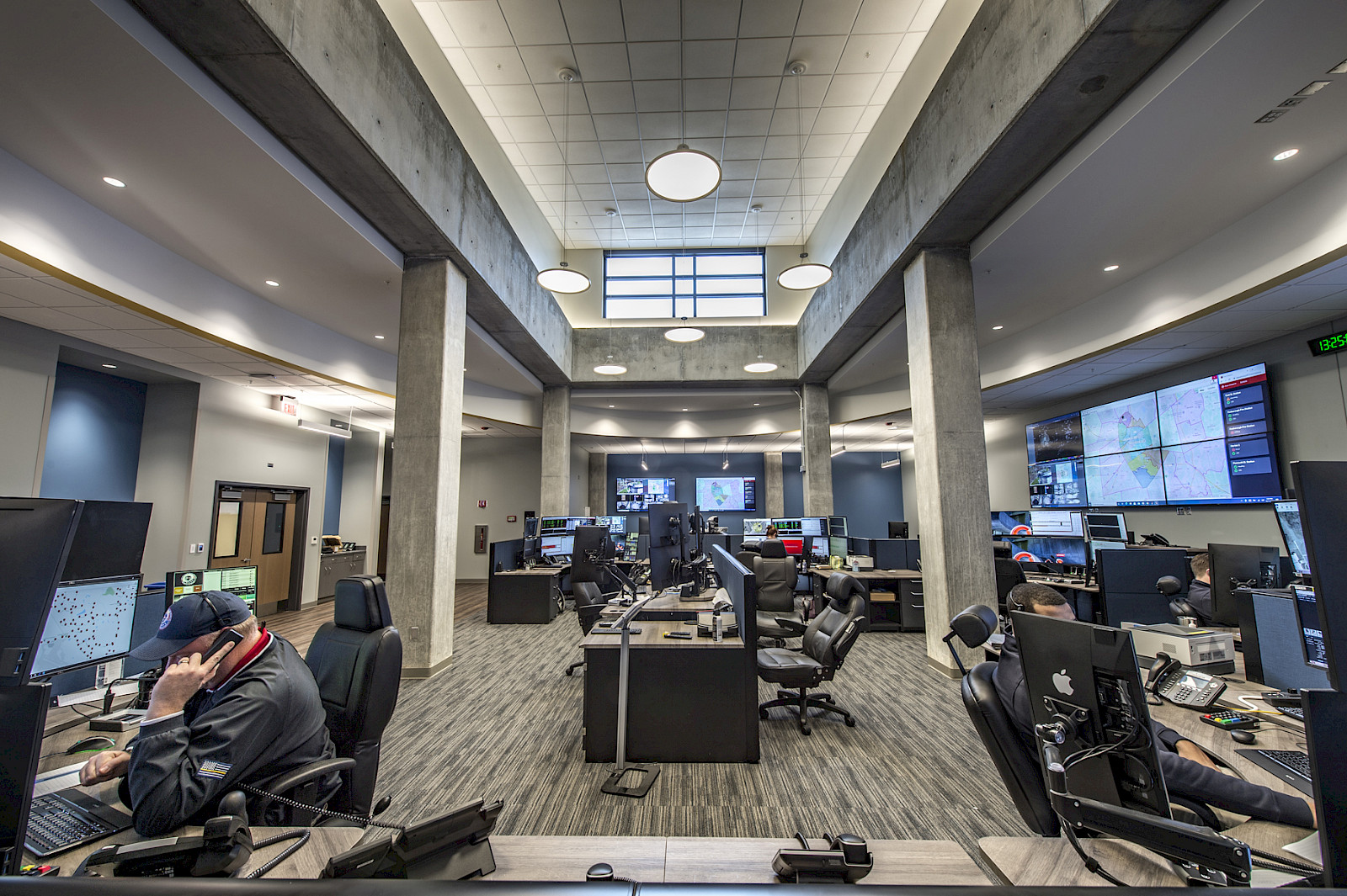
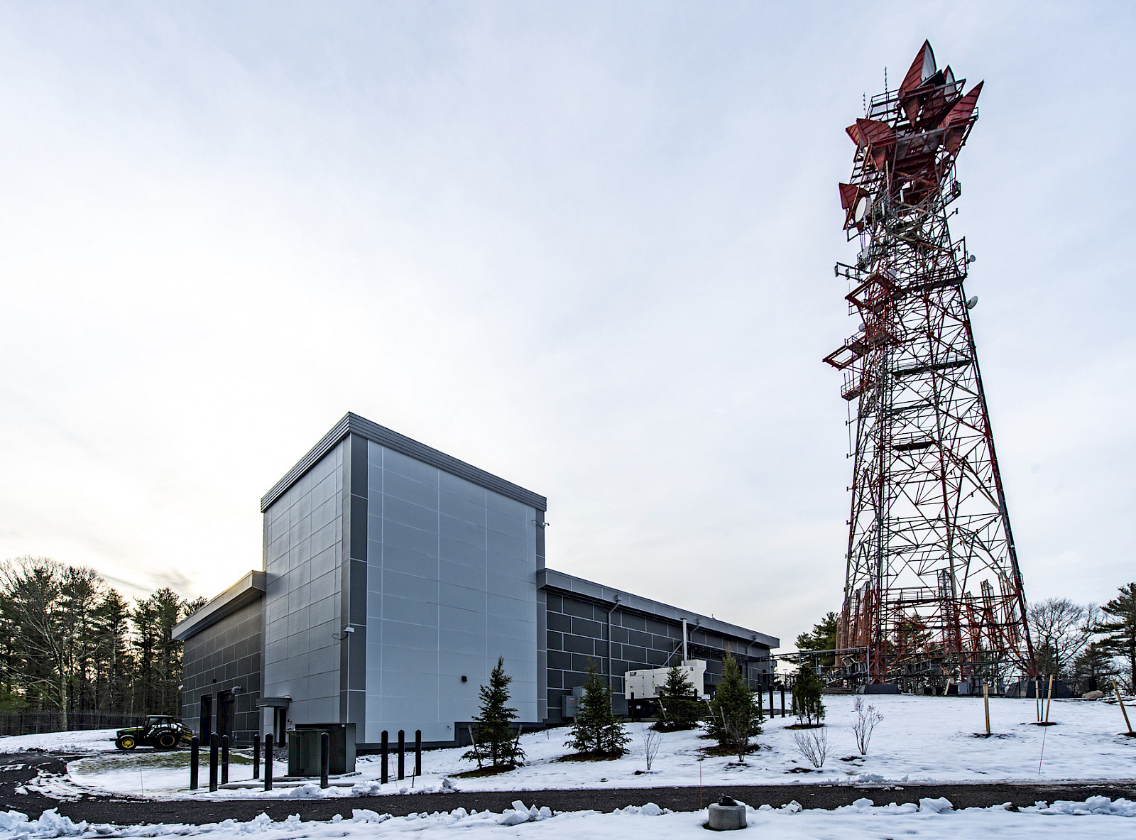
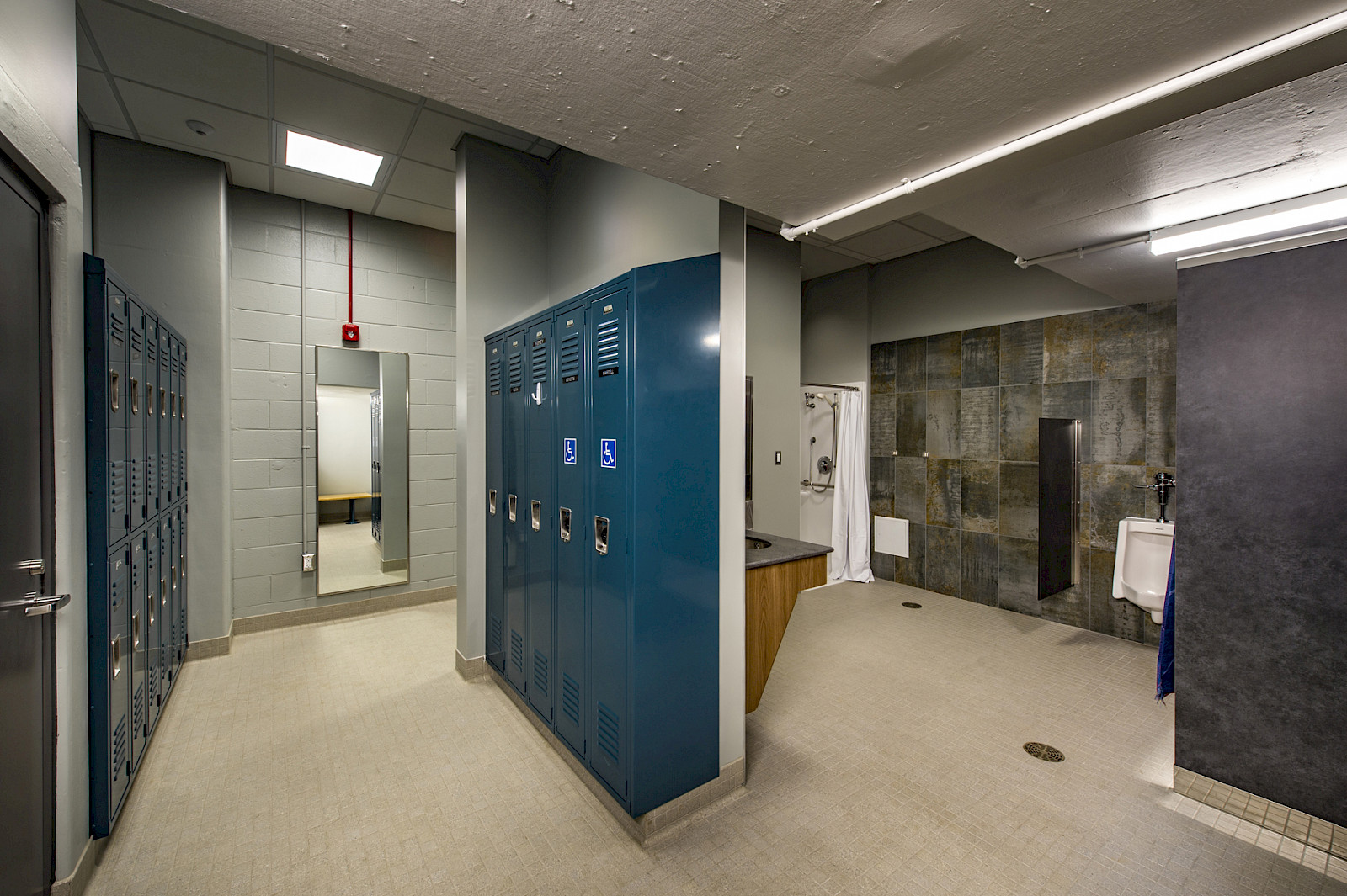
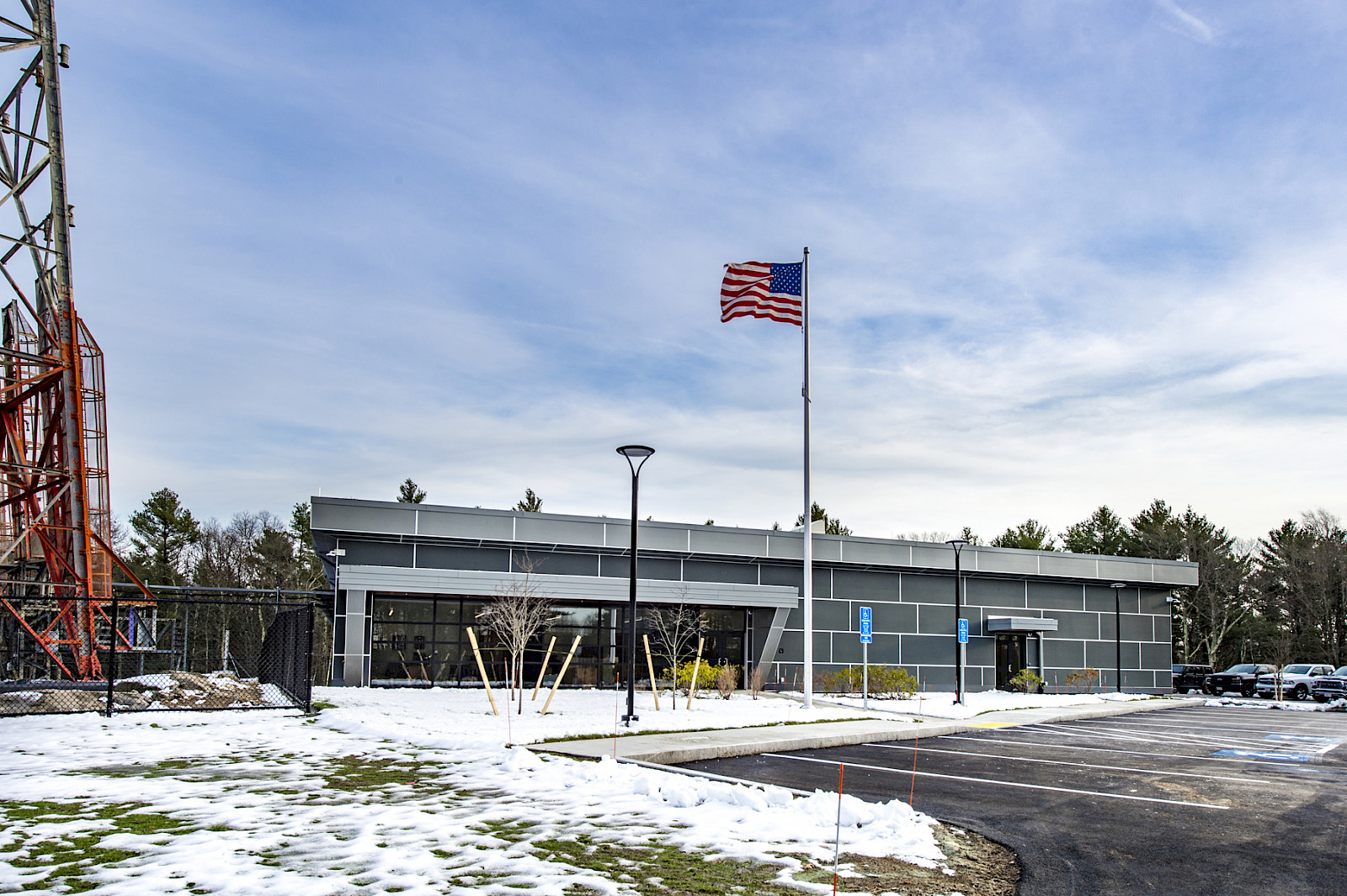
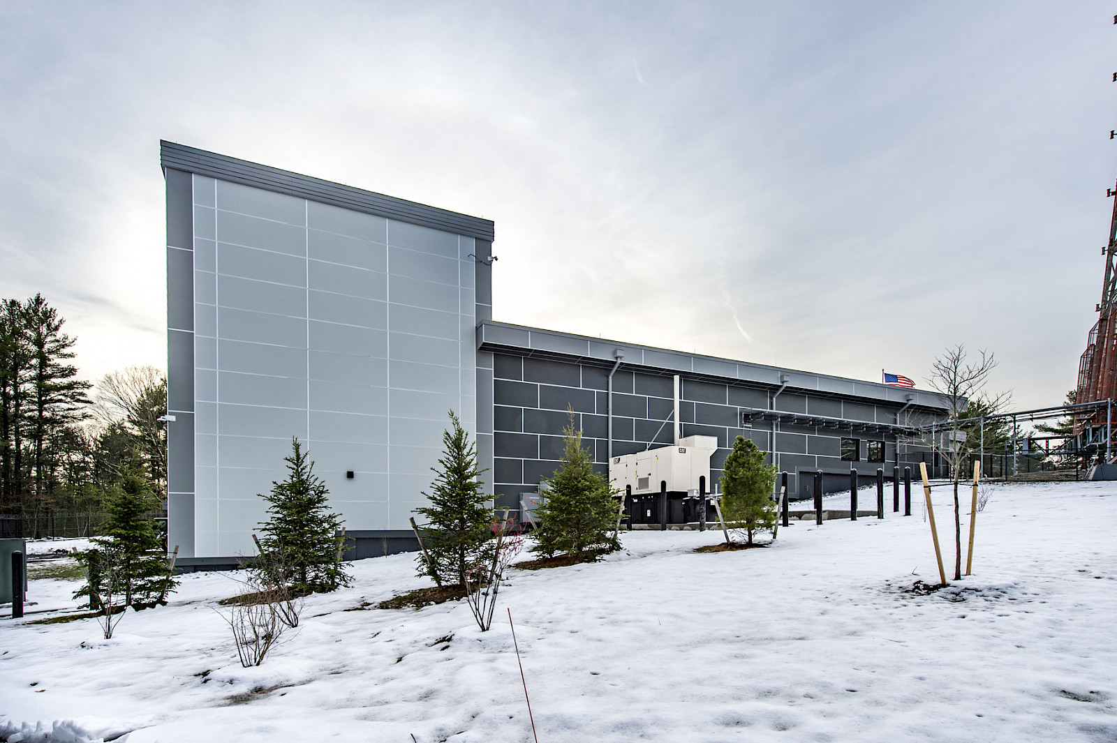
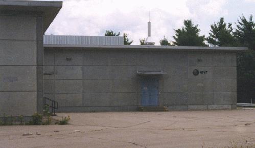
The High Rock AT&T site was an semi-hardened site located about 20 miles south of Boston. Most of the major microwave routes to Boston ran through this site. A single L-4 cable from Blackstone ran to this site. Currently the site is inactive. The tower does have a NEXTEL antenna system and part of the building has been rented to NEXTEL. The site also has a AT&T cellular system with antennas on the tower. High Rock in its hay day was the main site for AT&T service personnel. The microwave tower at High Rock as seen from the end of the building that housed the three emergency generators. This part of the building had a basement and was 2 stories tall. Two of the KS-15676 microwave horns are Model L-14 antennas. Model L-14 antenna are hardened to 2 PSI with shields mounted on the sides of the antenna. The route with the hardened antennas terminates at Truro AFS. ARCHIVED FROM MARK FOSTER'S SITE