Southampton - Pennsylvania
Coordinates: 40.16877778, -75.05002778
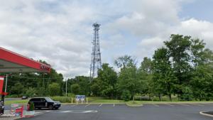
Address: RT23 .5MI SRT132 PHILA R1N Southampton 18966
Paths To: Philadelphia Central Office Plumsteadville
View On: Long Lines Map | Google Maps | Bing Maps
View Random Site


If you wish to enter the Authors Name please enter it BEFORE you start uploading.
Address: RT23 .5MI SRT132 PHILA R1N Southampton 18966
Paths To: Philadelphia Central Office Plumsteadville
View On: Long Lines Map | Google Maps | Bing Maps
View Random Site
Site Notes
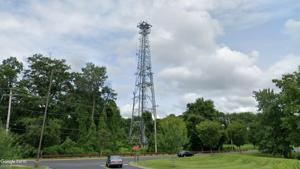
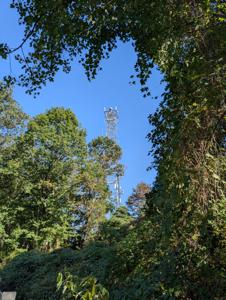
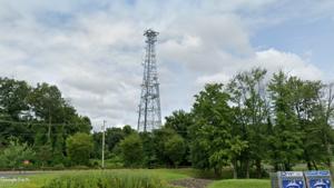
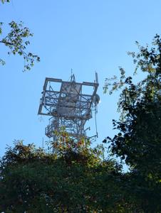
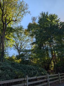
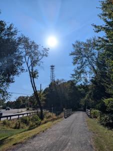
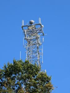
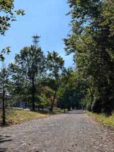
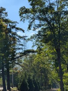
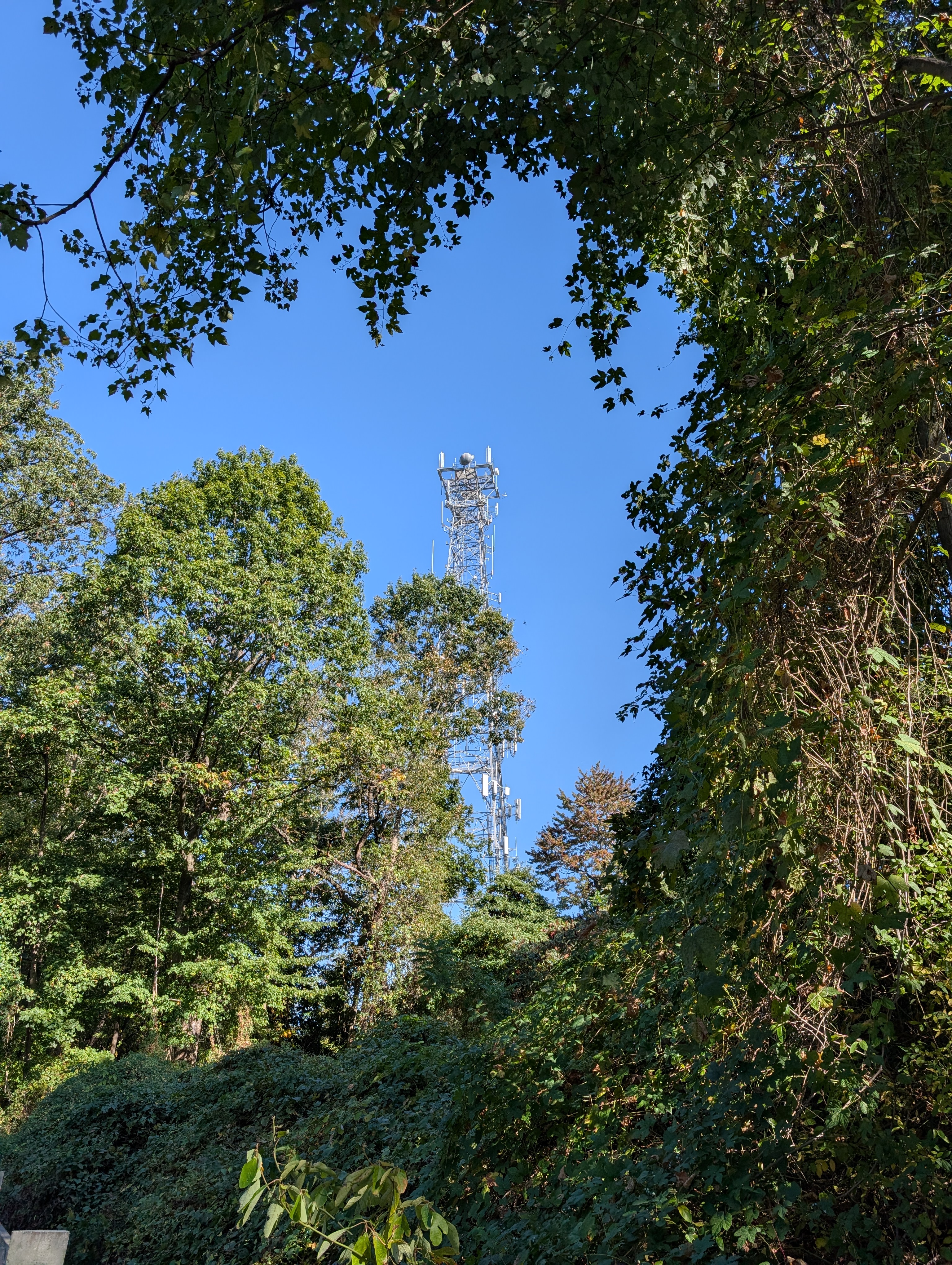
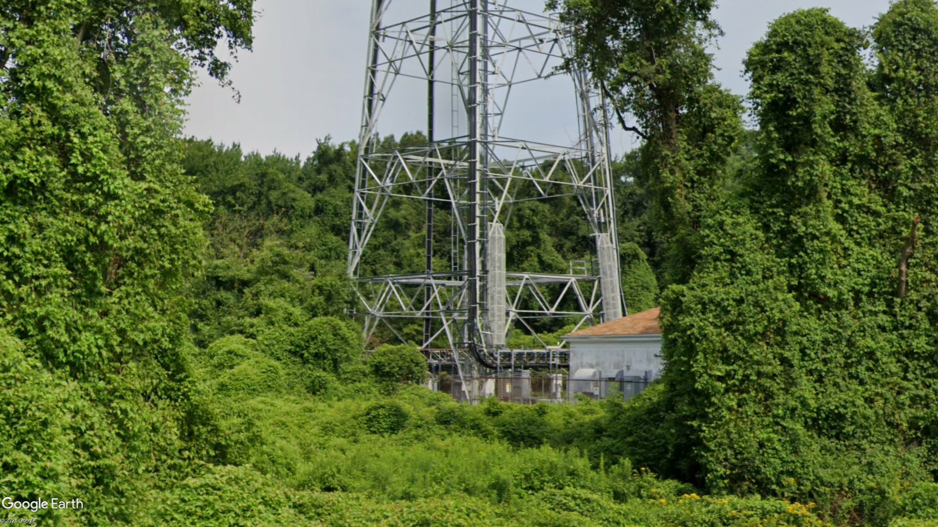
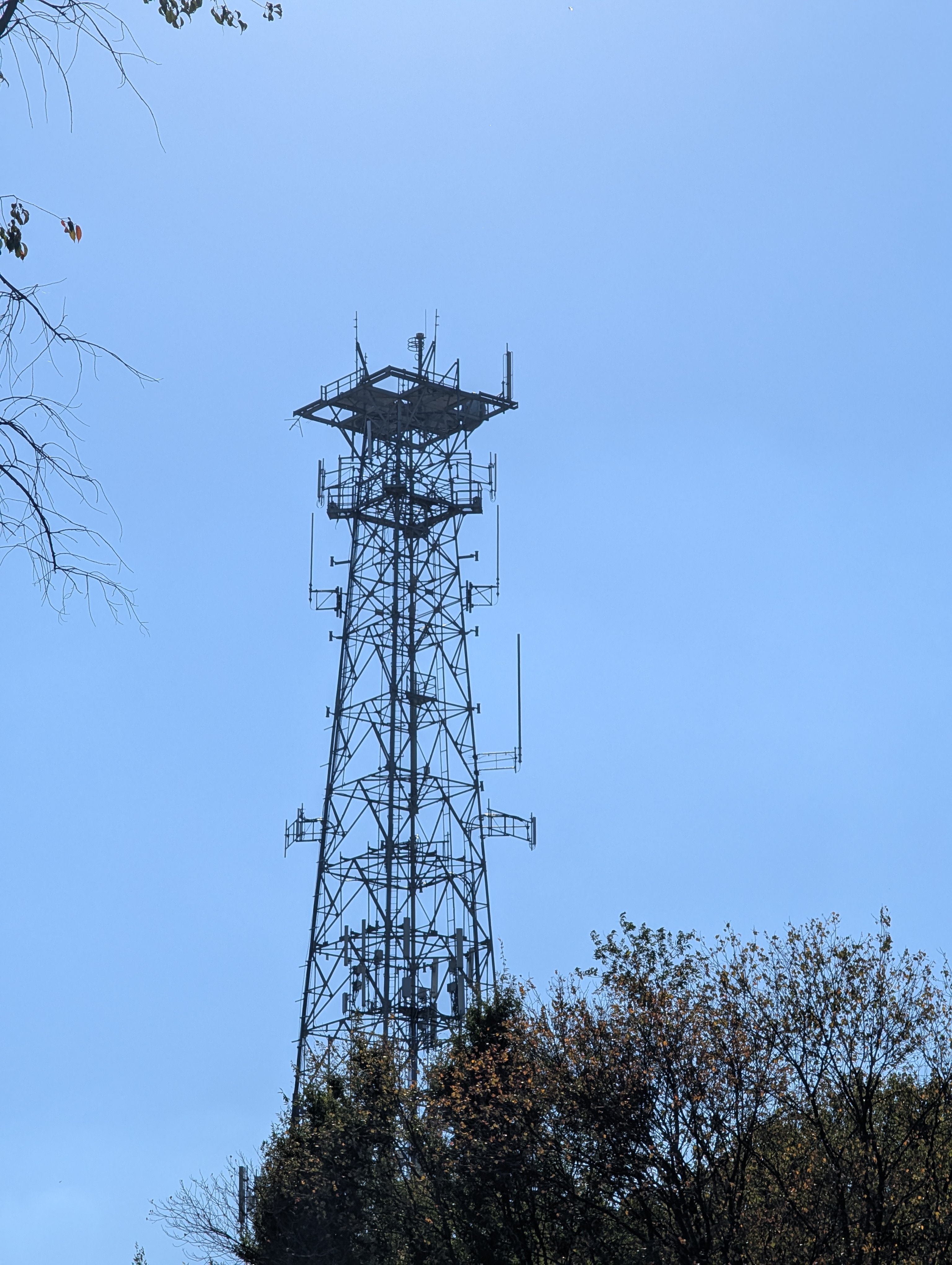
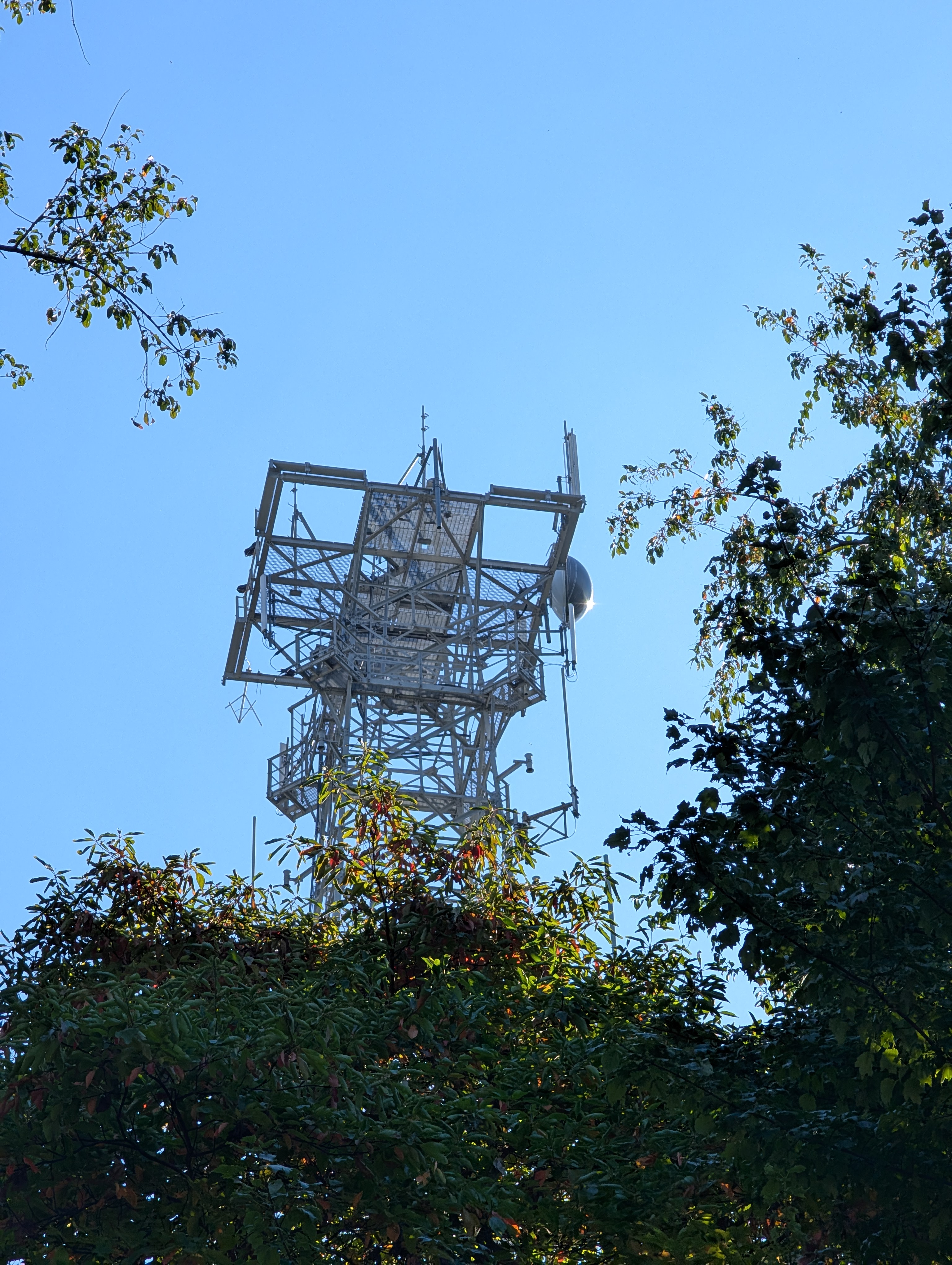
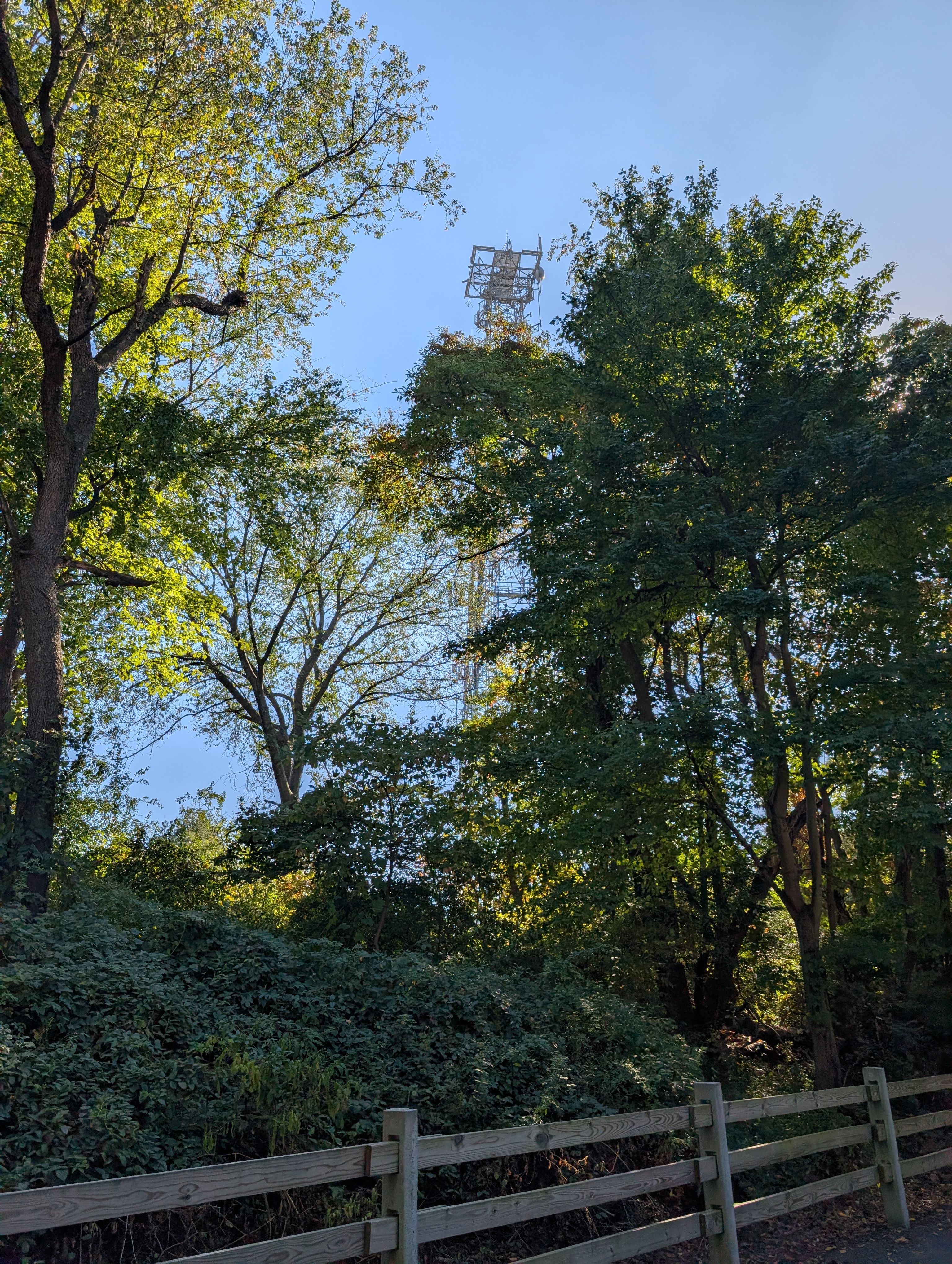
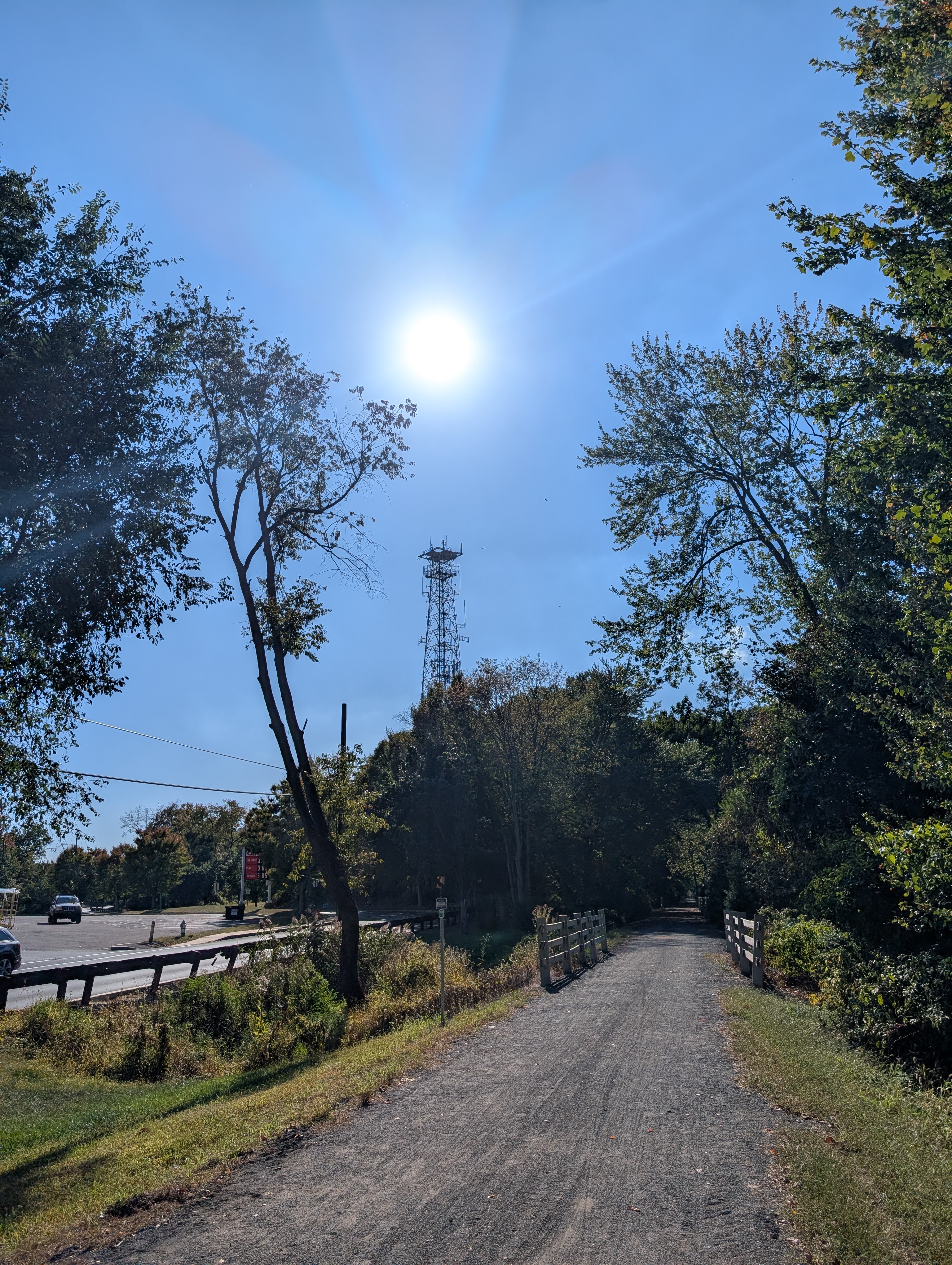
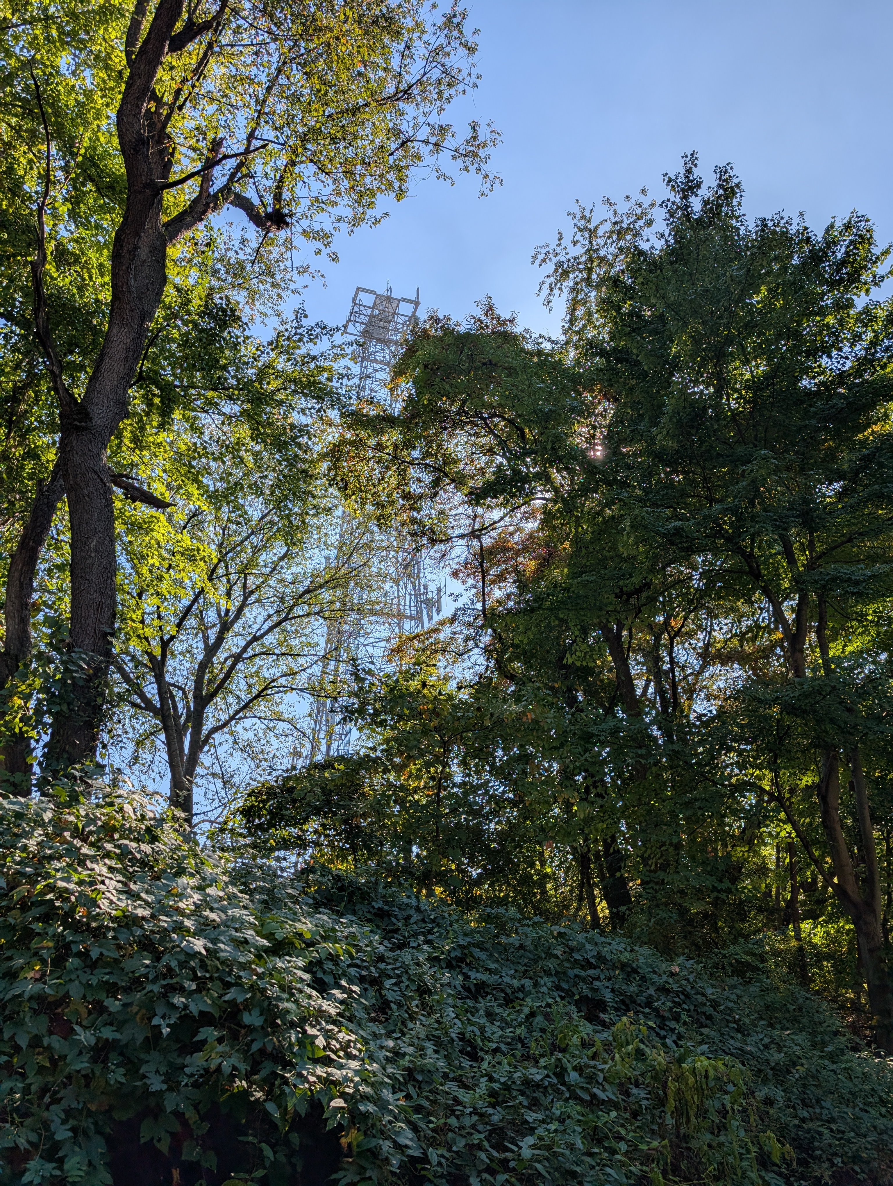
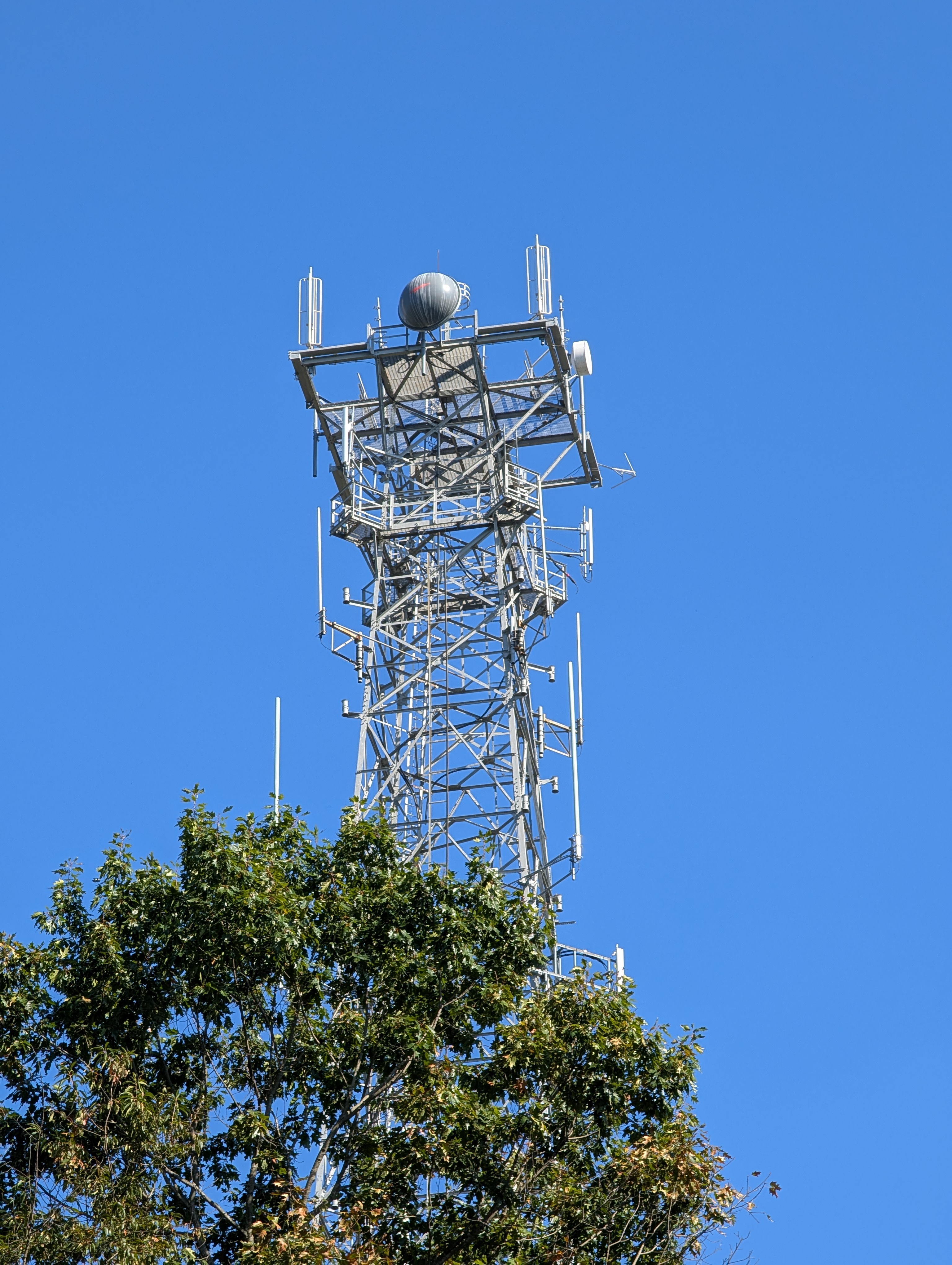
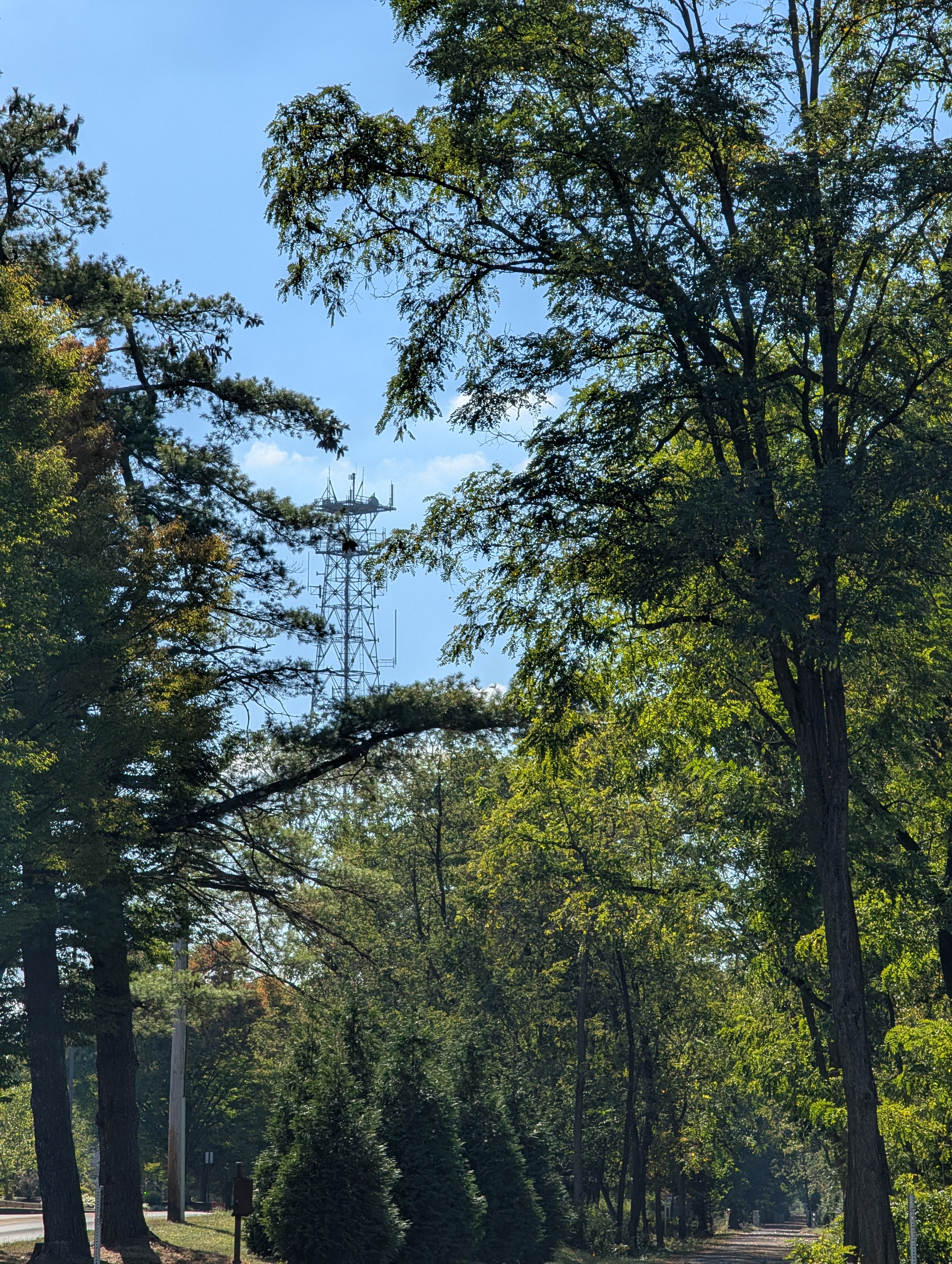
Add site noteTower Still Stands | Dehorned | 2/15/2025 Collapse/Expand
Tower is still standing, dehorned, and has been repurposed.
Site Documents
Site Pictures
Add site Pictures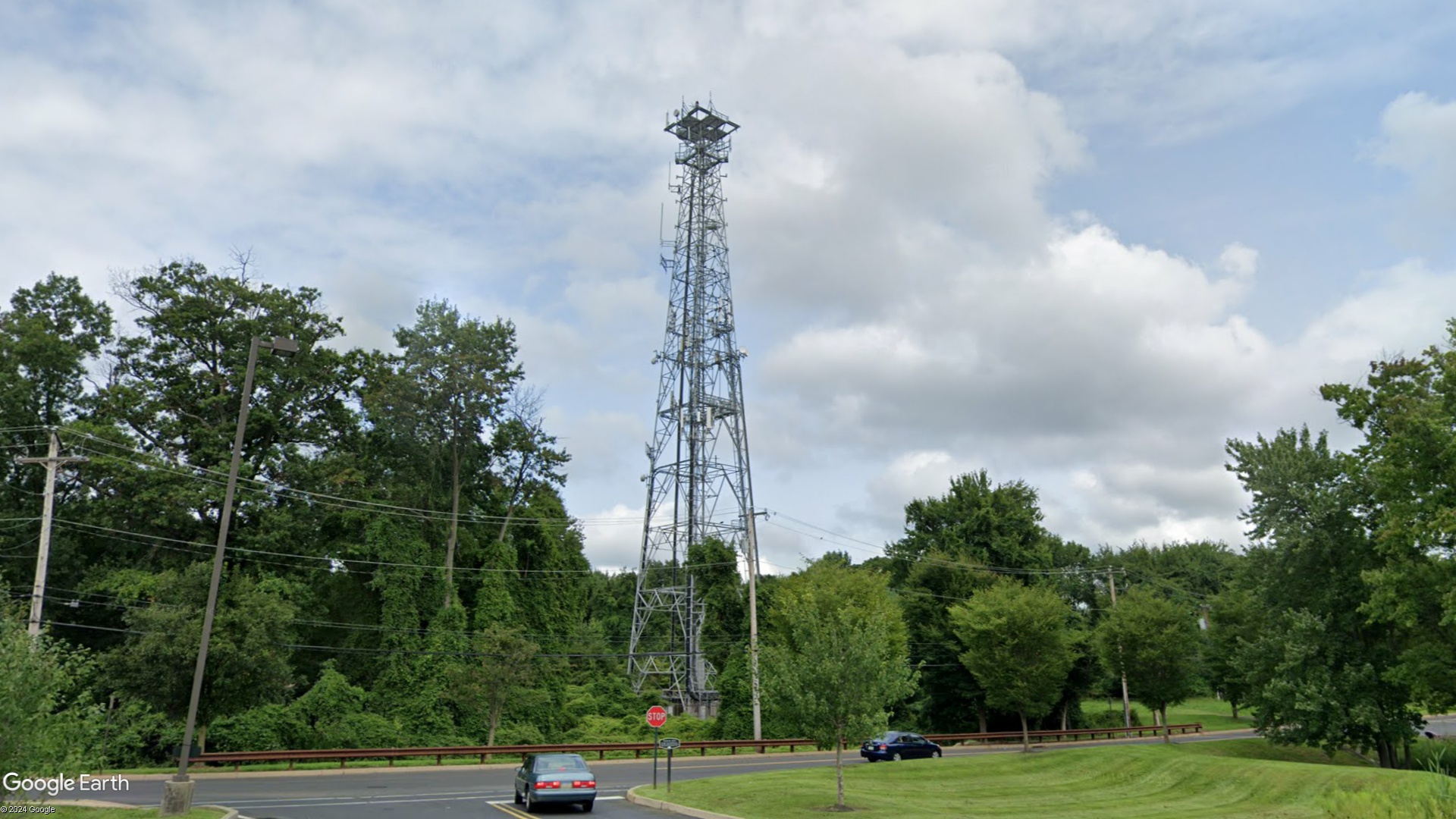


Upload Site Images
All information is provided for free to the public. Pictures and Documents are provided by supporters of the website and for that I am very gateful.
For any questions or comments please email [email protected].
For any questions or comments please email [email protected].