June 2024 site visit Collapse/Expand
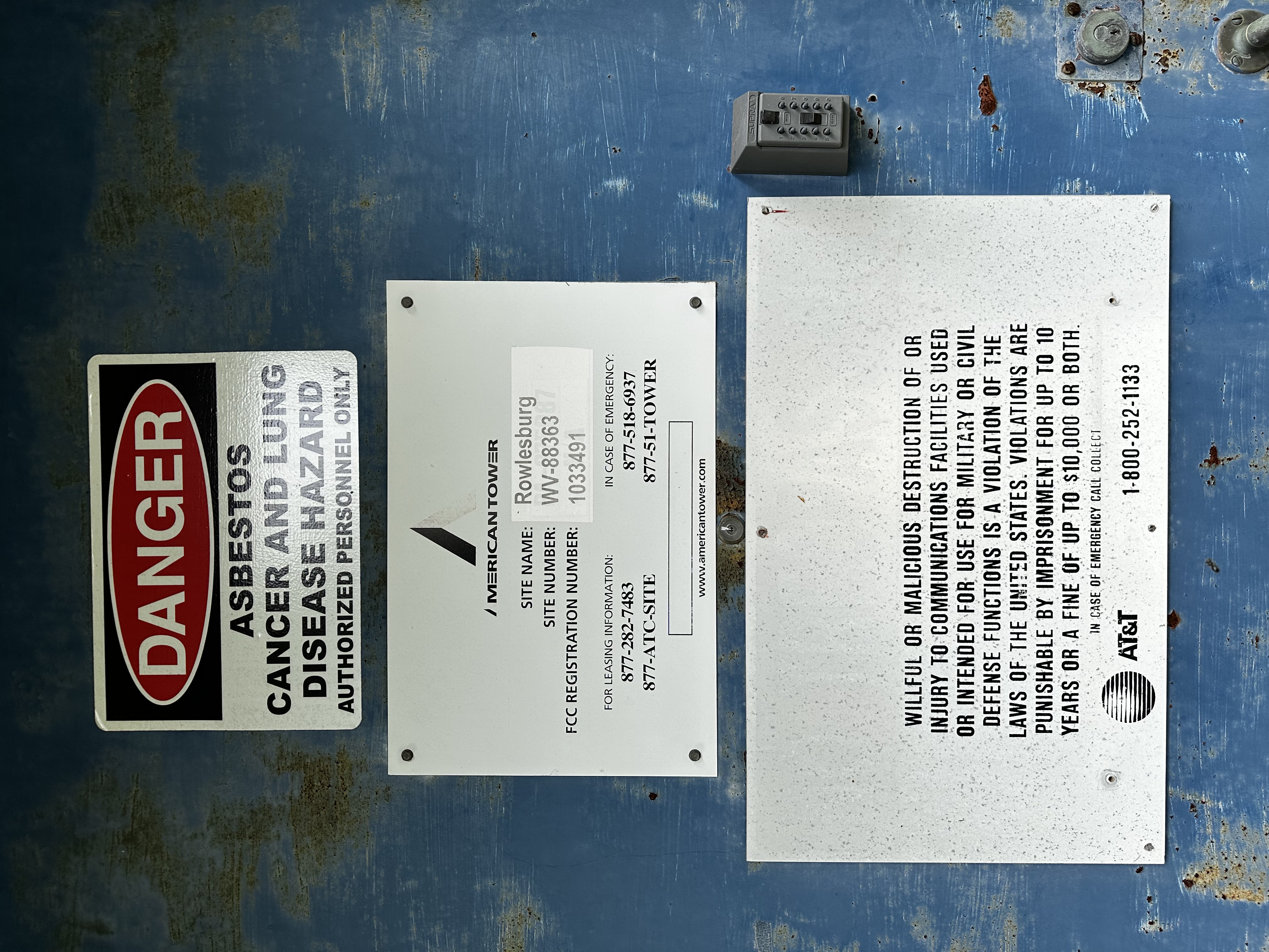
Rowlesburg, WV
Site: WV-88363
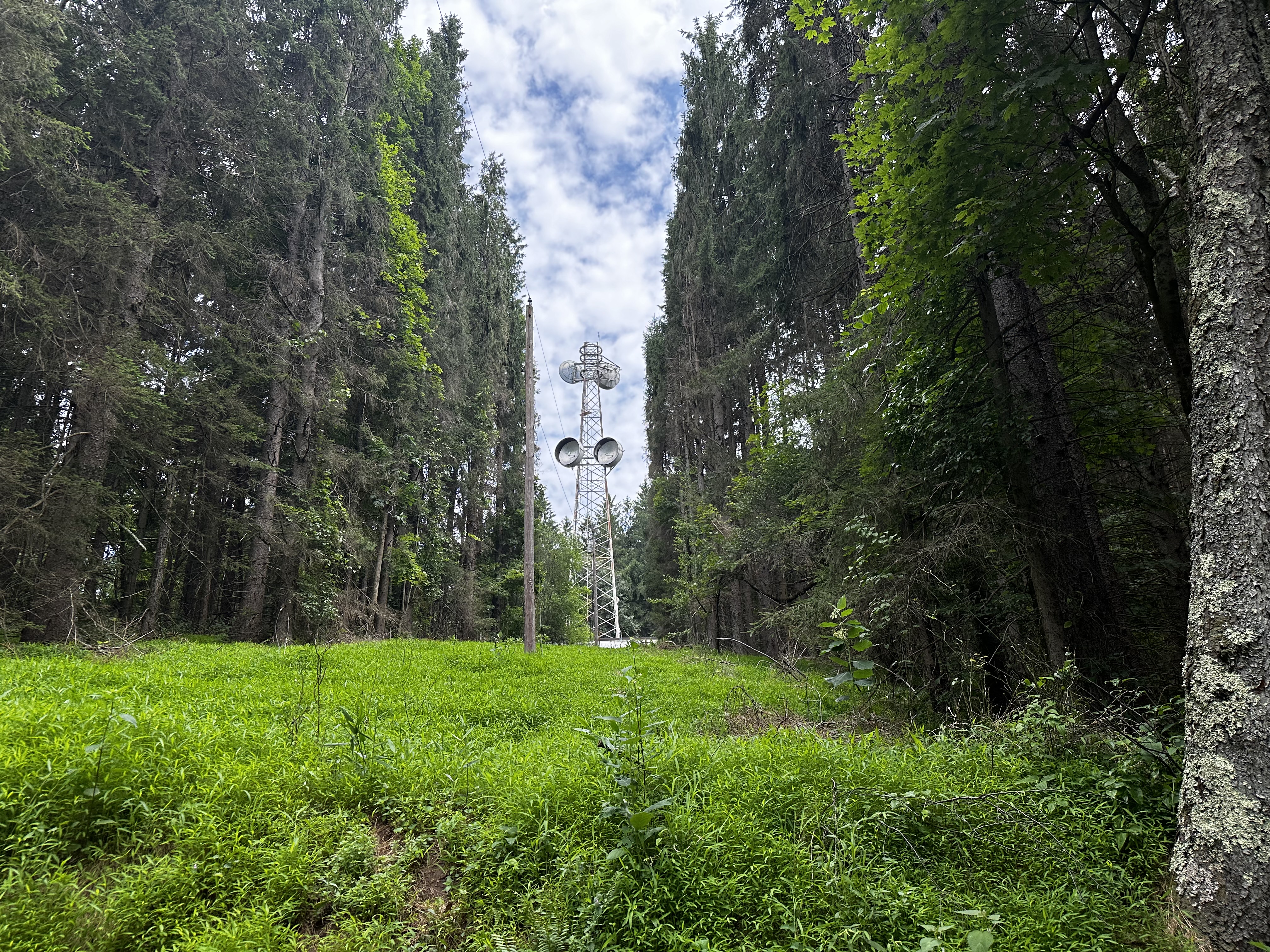
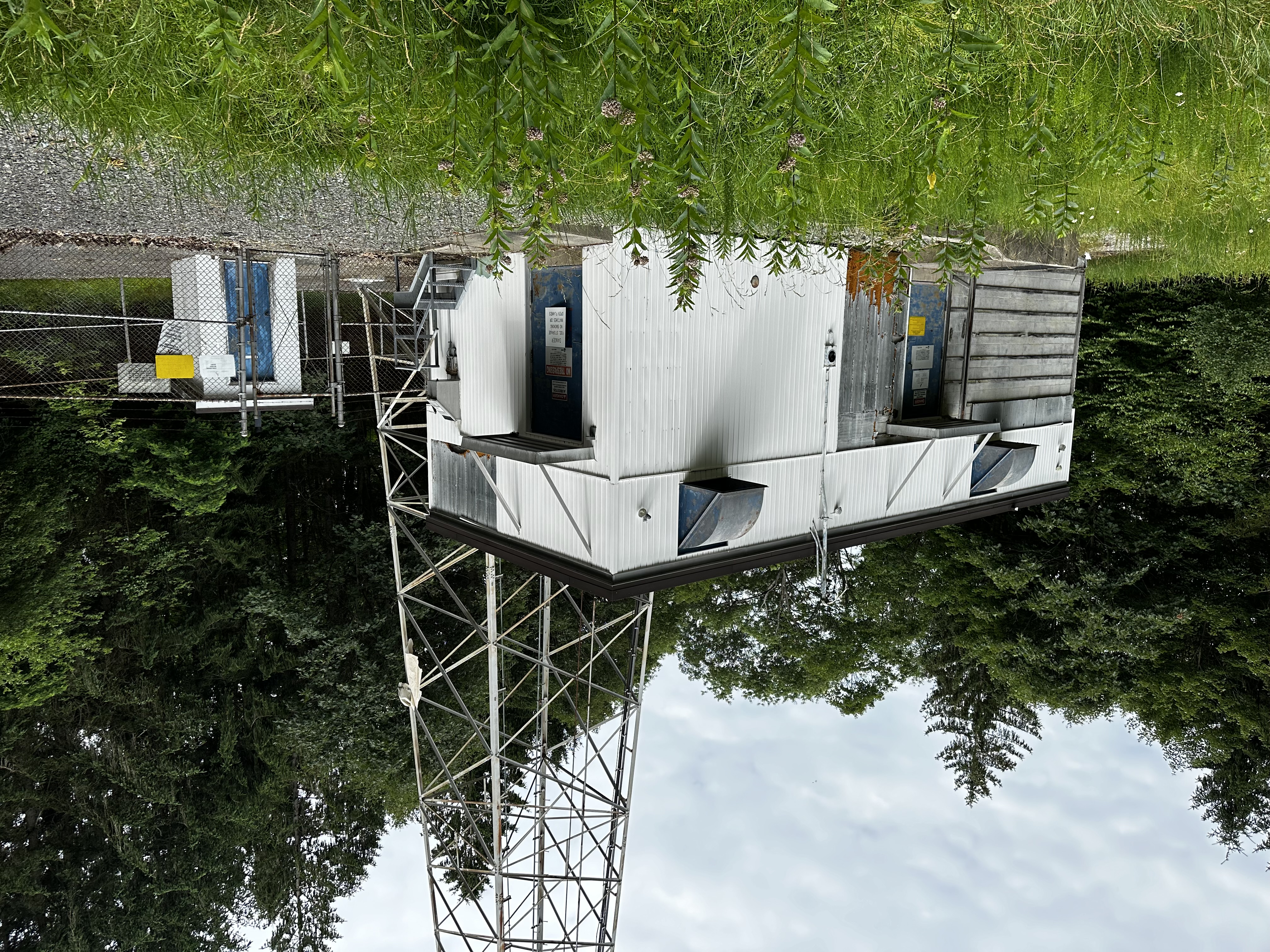
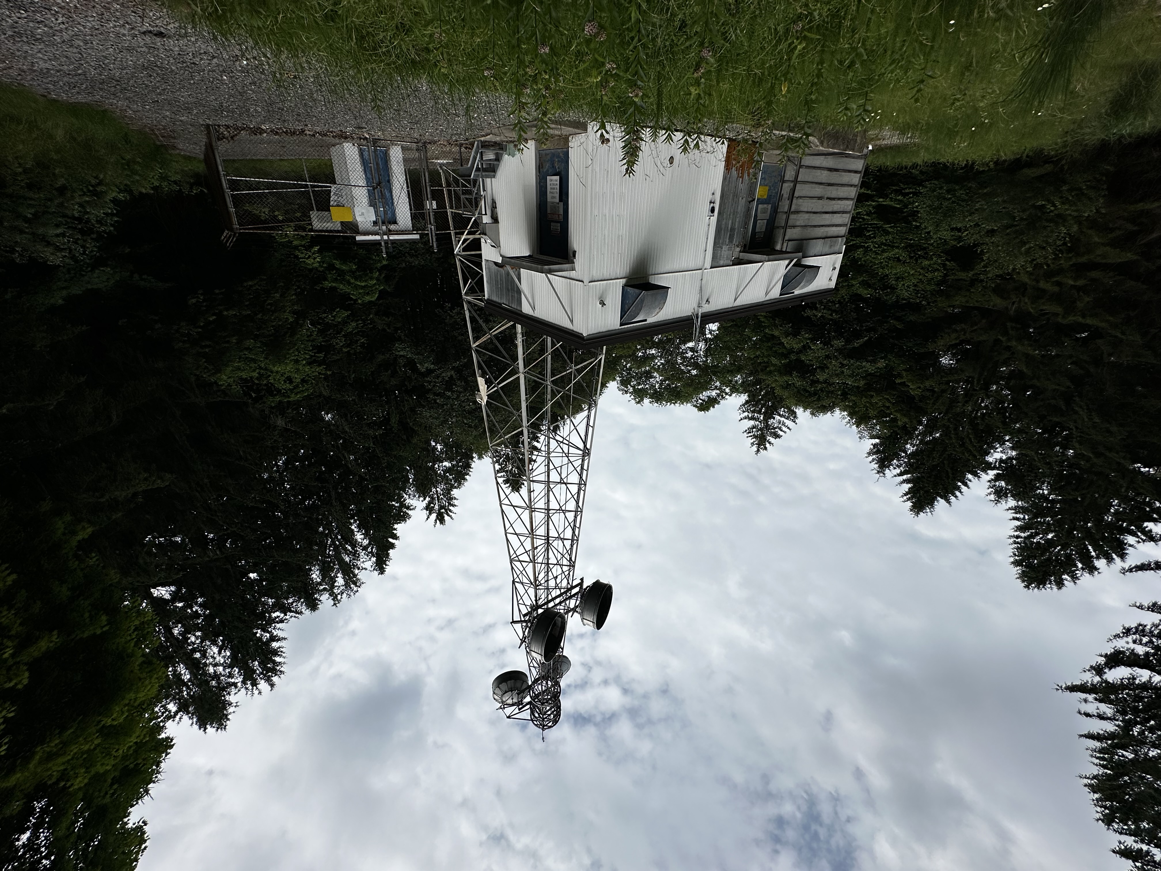
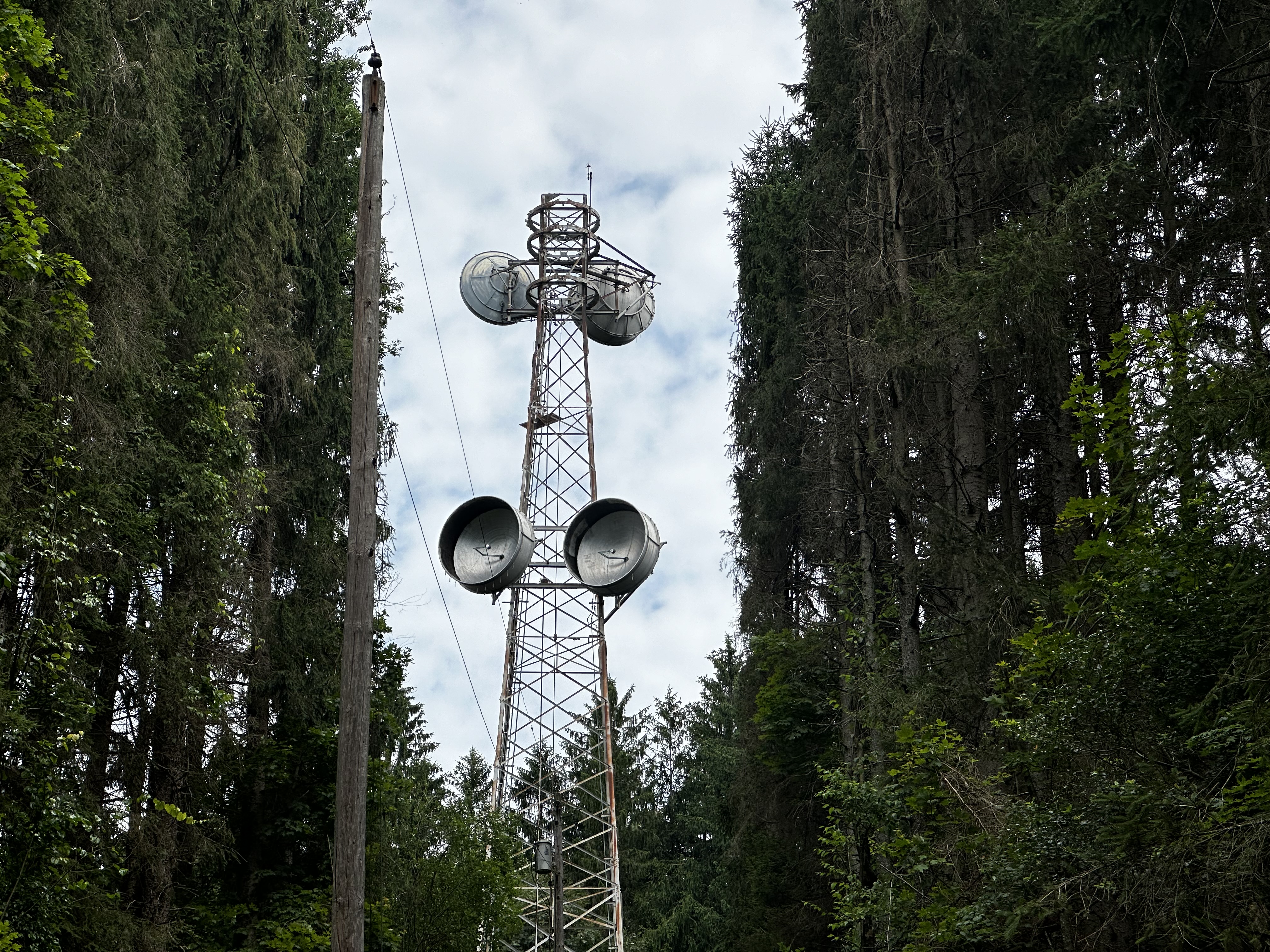
This site is a challenge to access. A 4x4 high clearance vehicle helps. Over four miles of single lane gravel roads (two-track) with steep grades and hairpin curves. The tower is difficult to see from a distance because the pine trees have really grown up around the site.
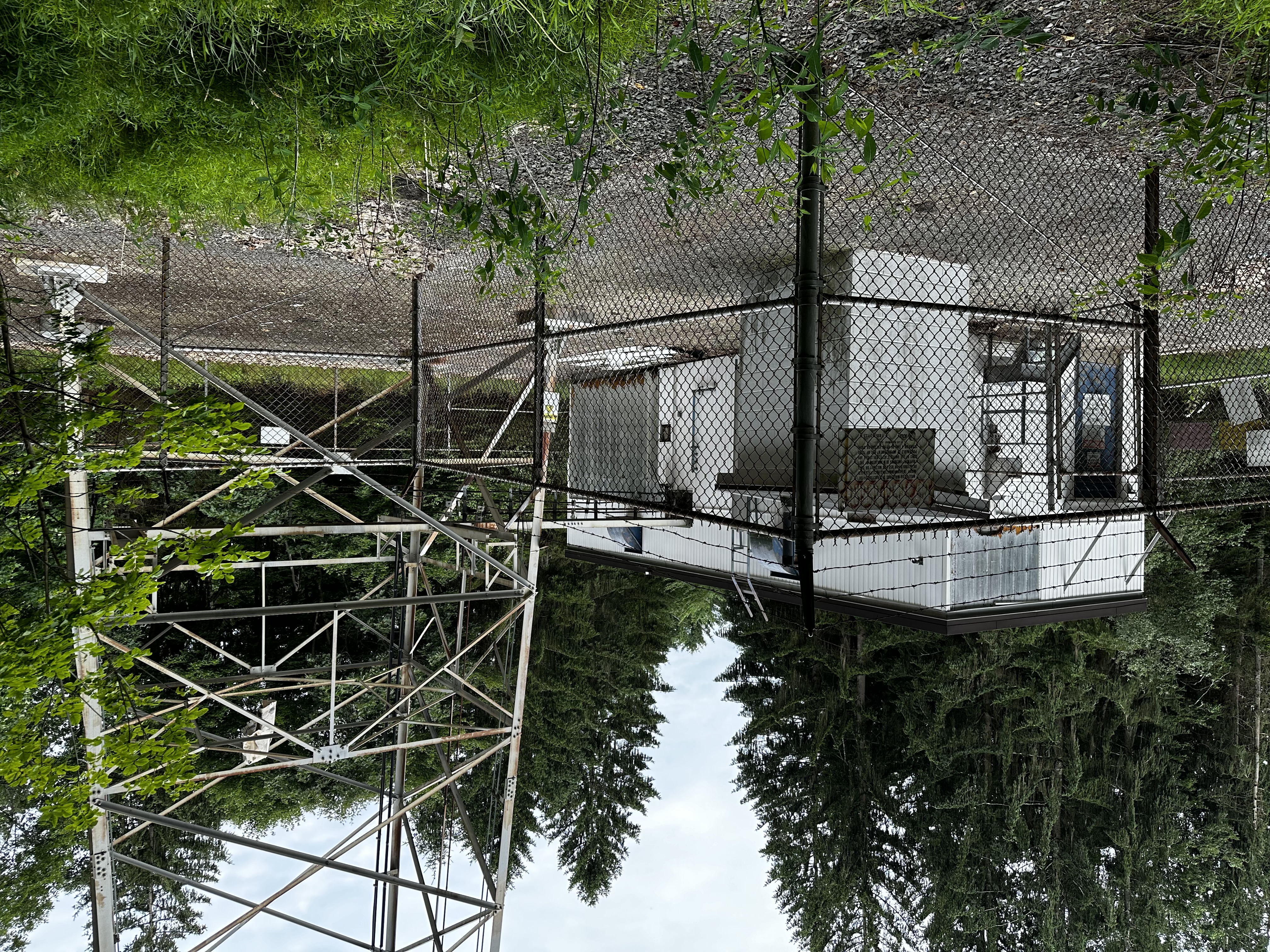
The 2-acre property is owned by American Tower. Site was visited in May of 2023 by a maintenance contractor, DeAngelo Contracting Services.
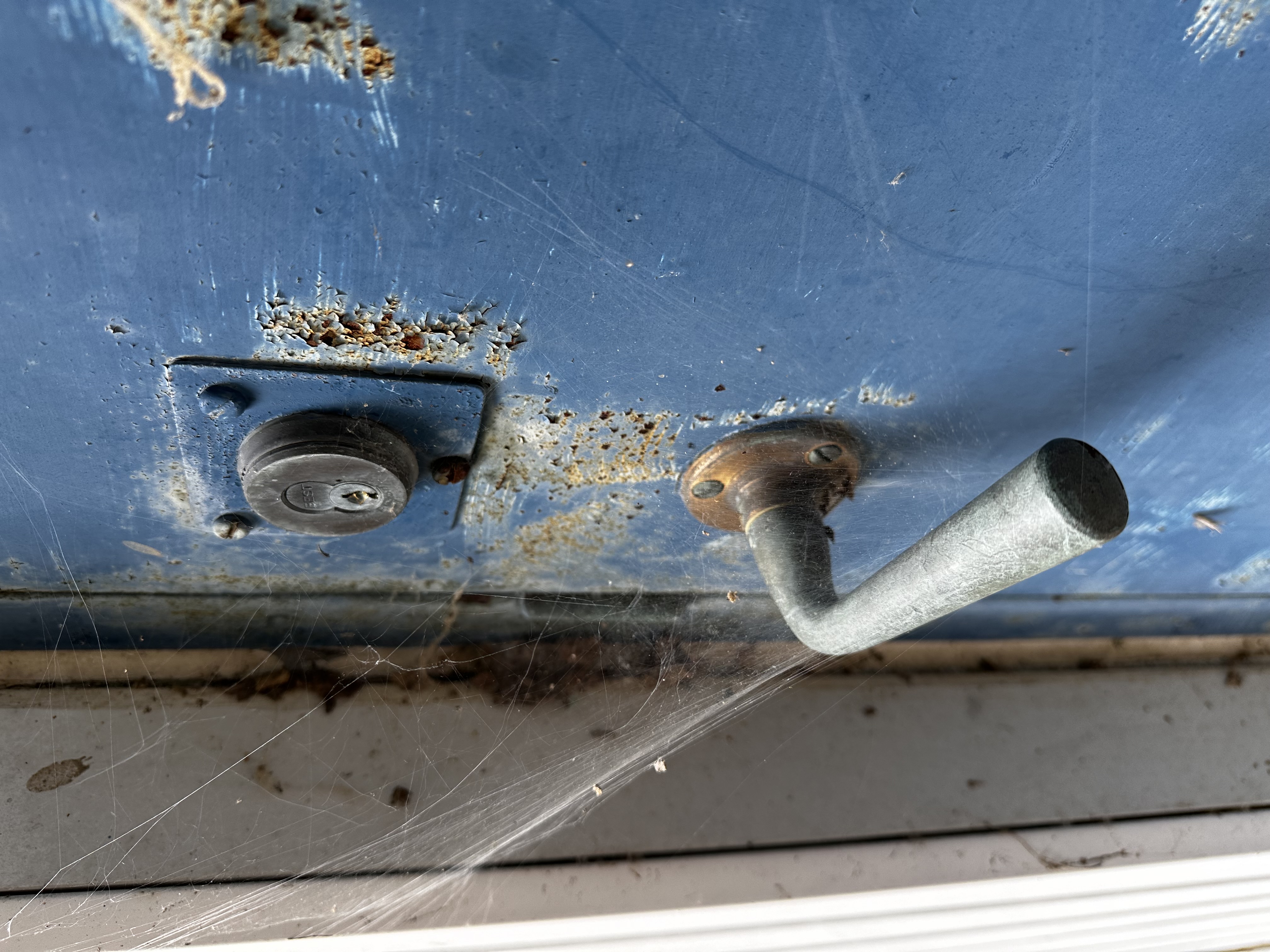
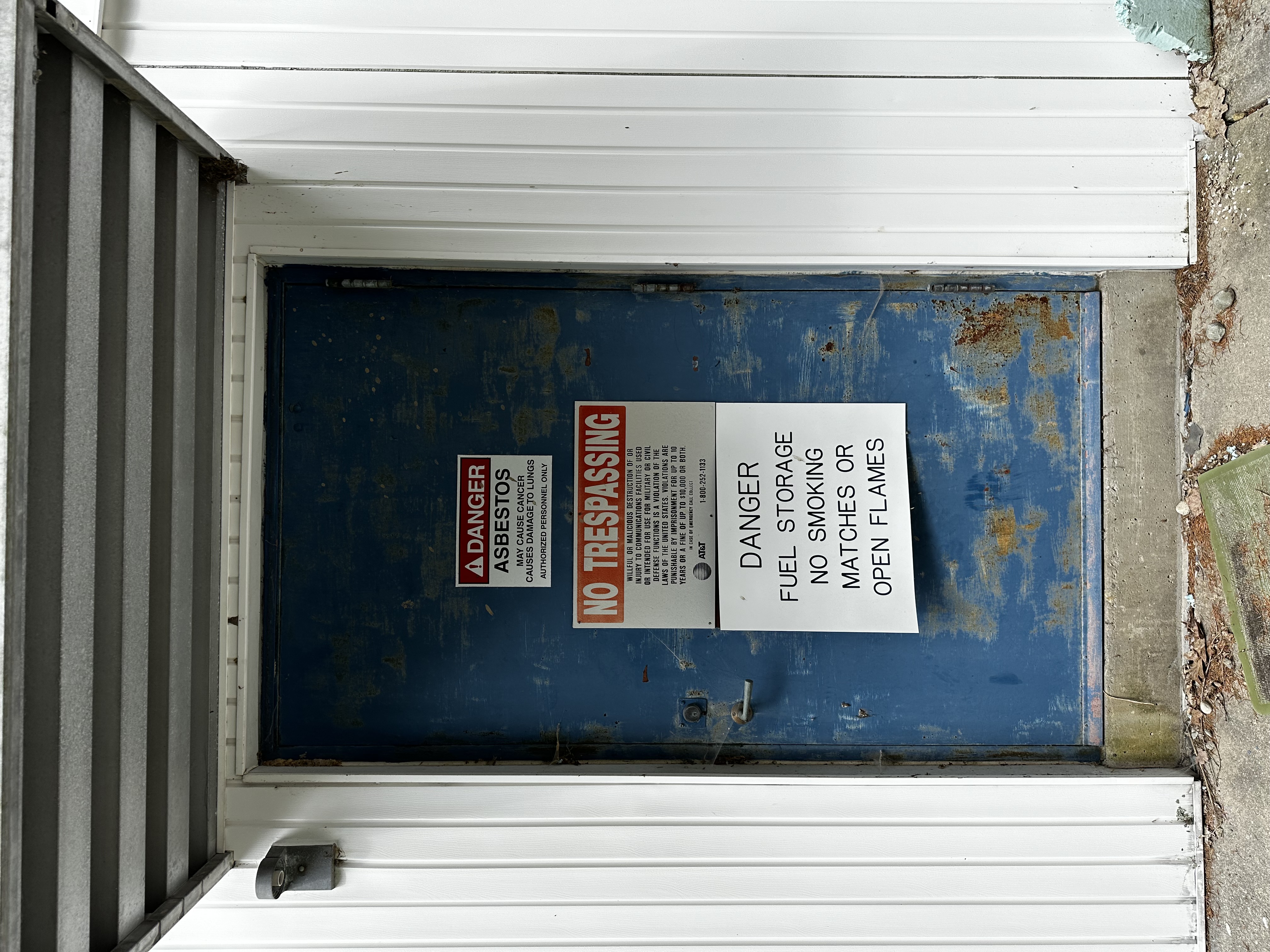
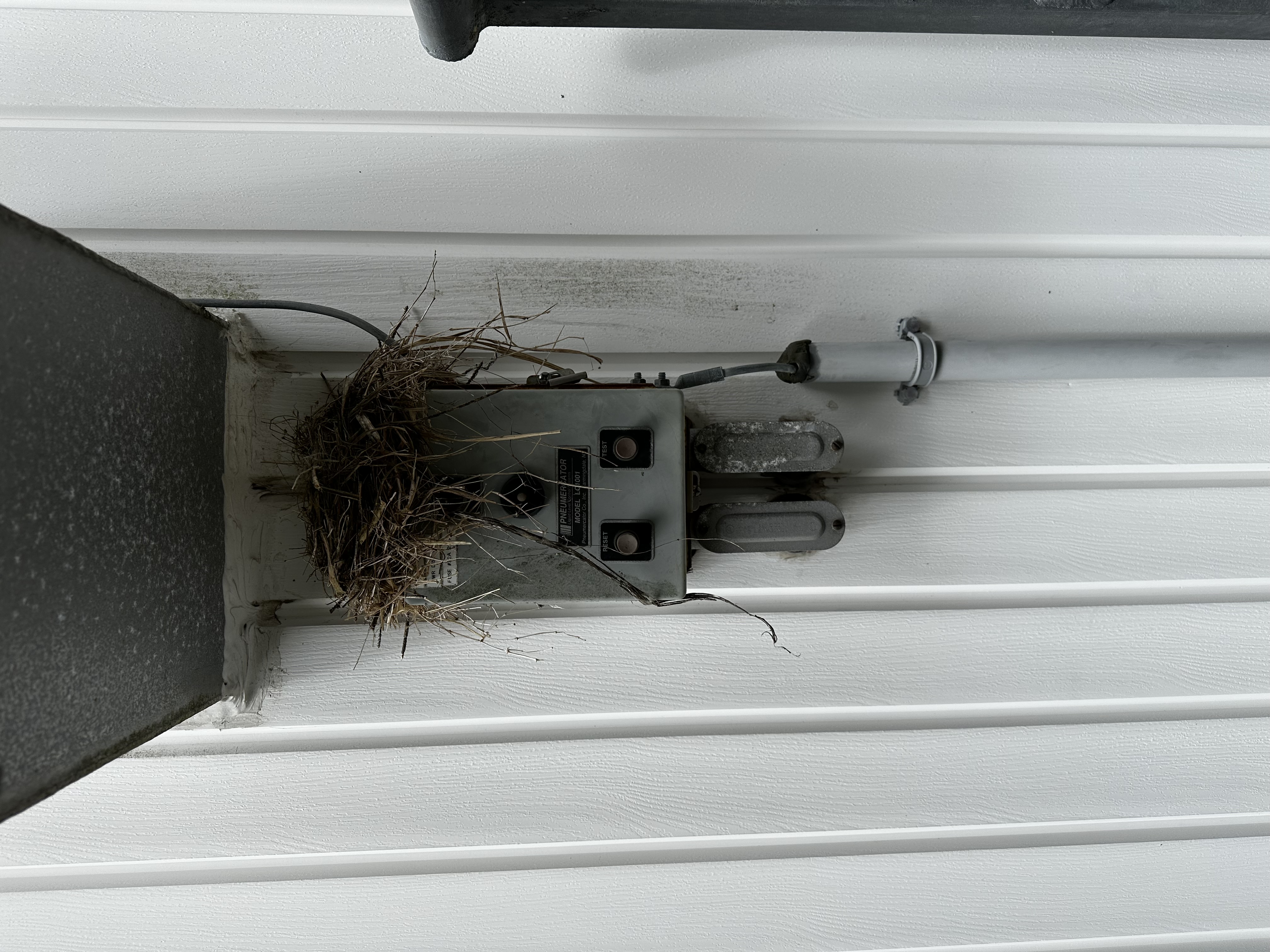
The station is off-line and the power has been disconnected.
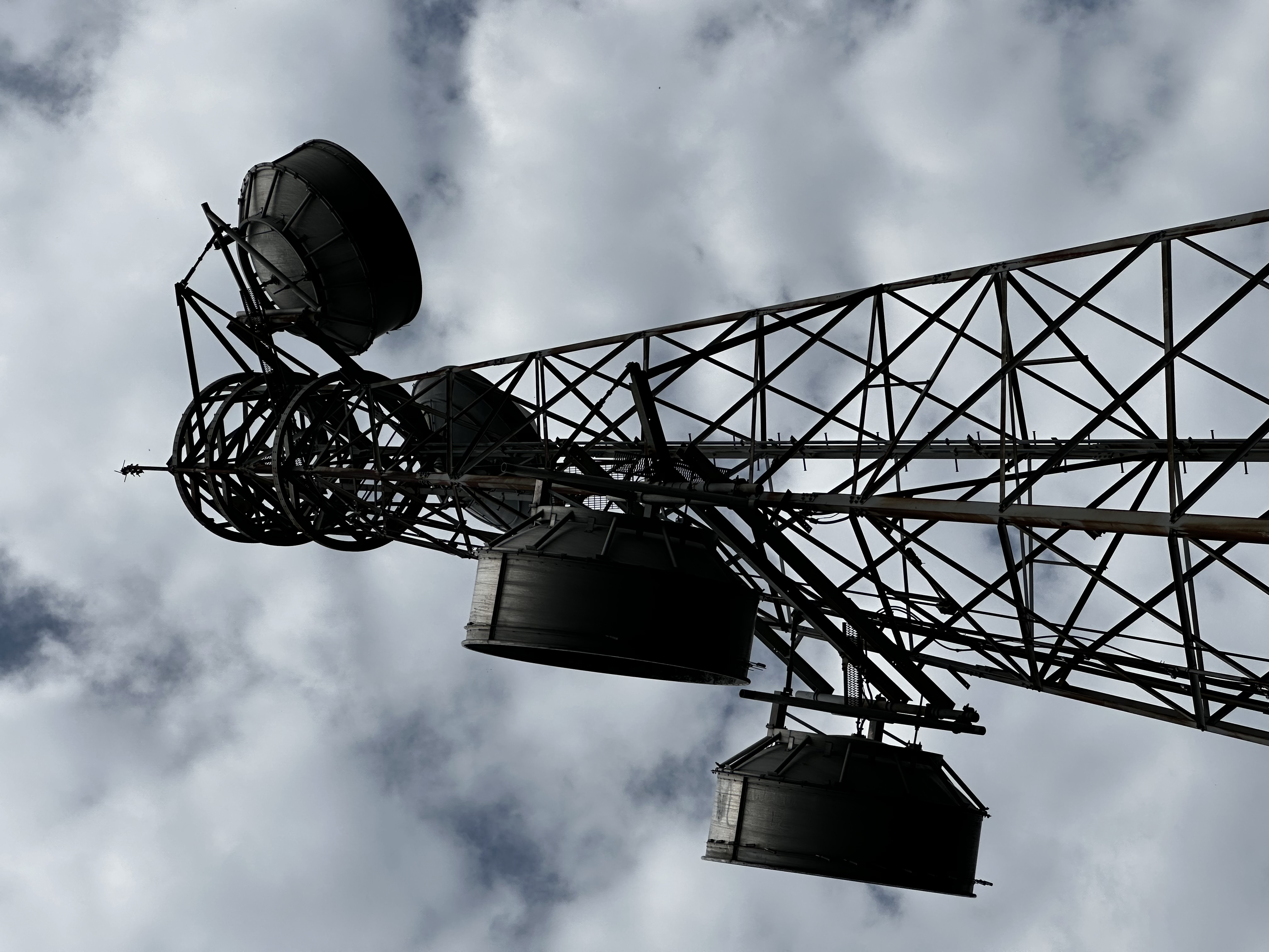
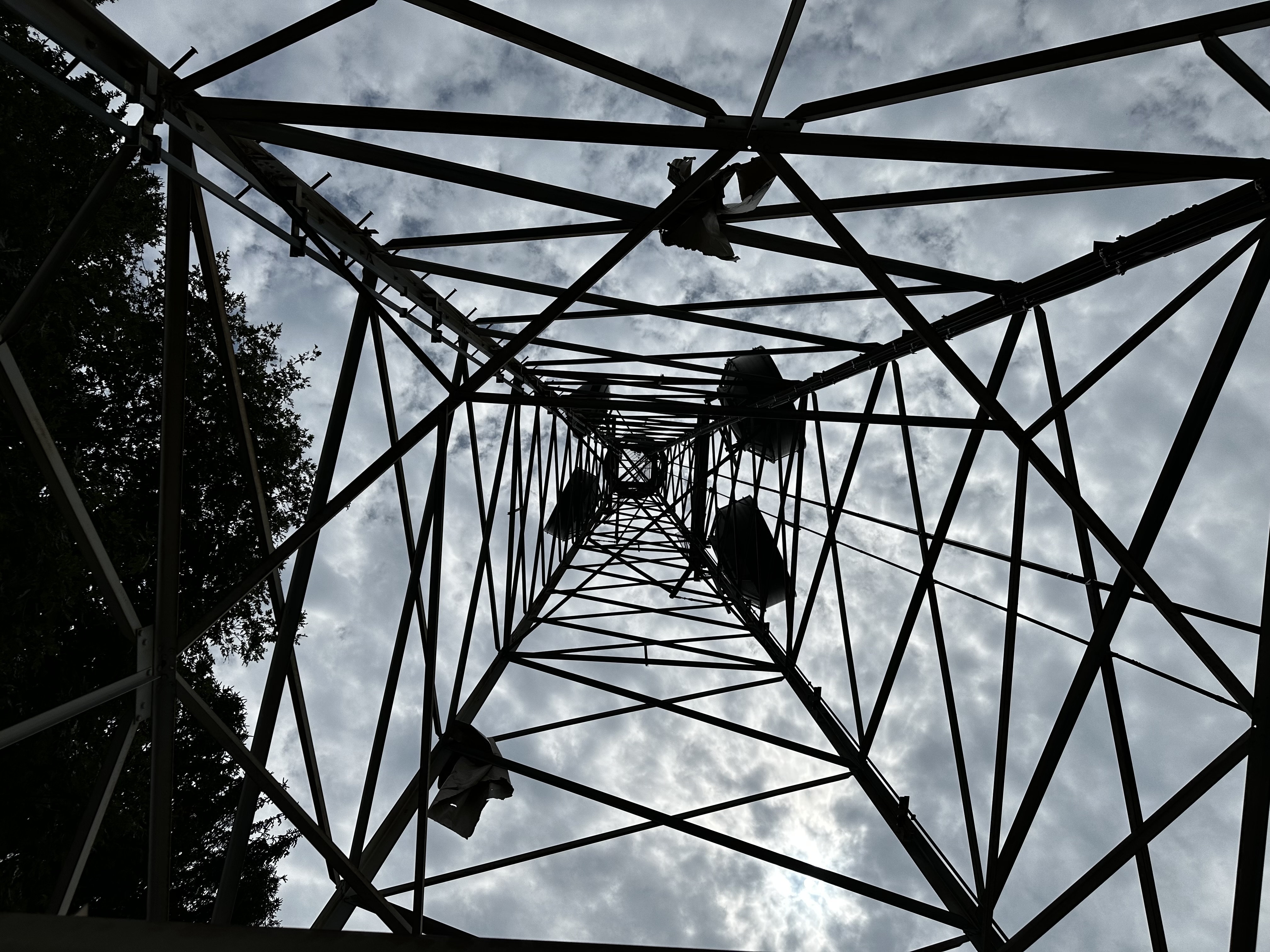
The dishes have lost their outer covers to wind damage and were entangled in the tower itself and in nearby trees. It looked as though one pair of antennae had been in use at some point recently because one set of waveguides with newer looking hardware were in place going up the western corner of the tower.
Based on the more modern looking exterior and soffit to the building, it seems like a portion of the station was active a few decades ago.