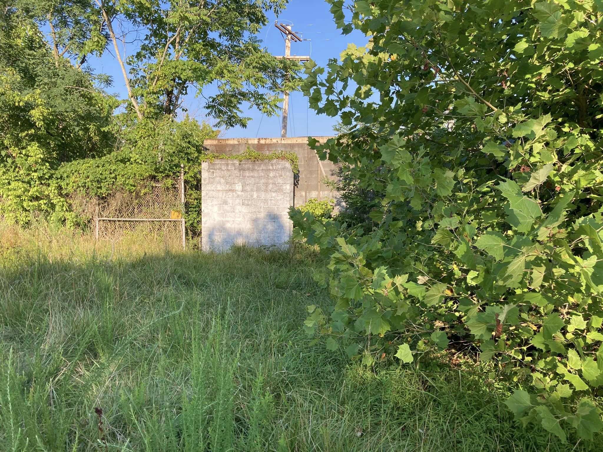
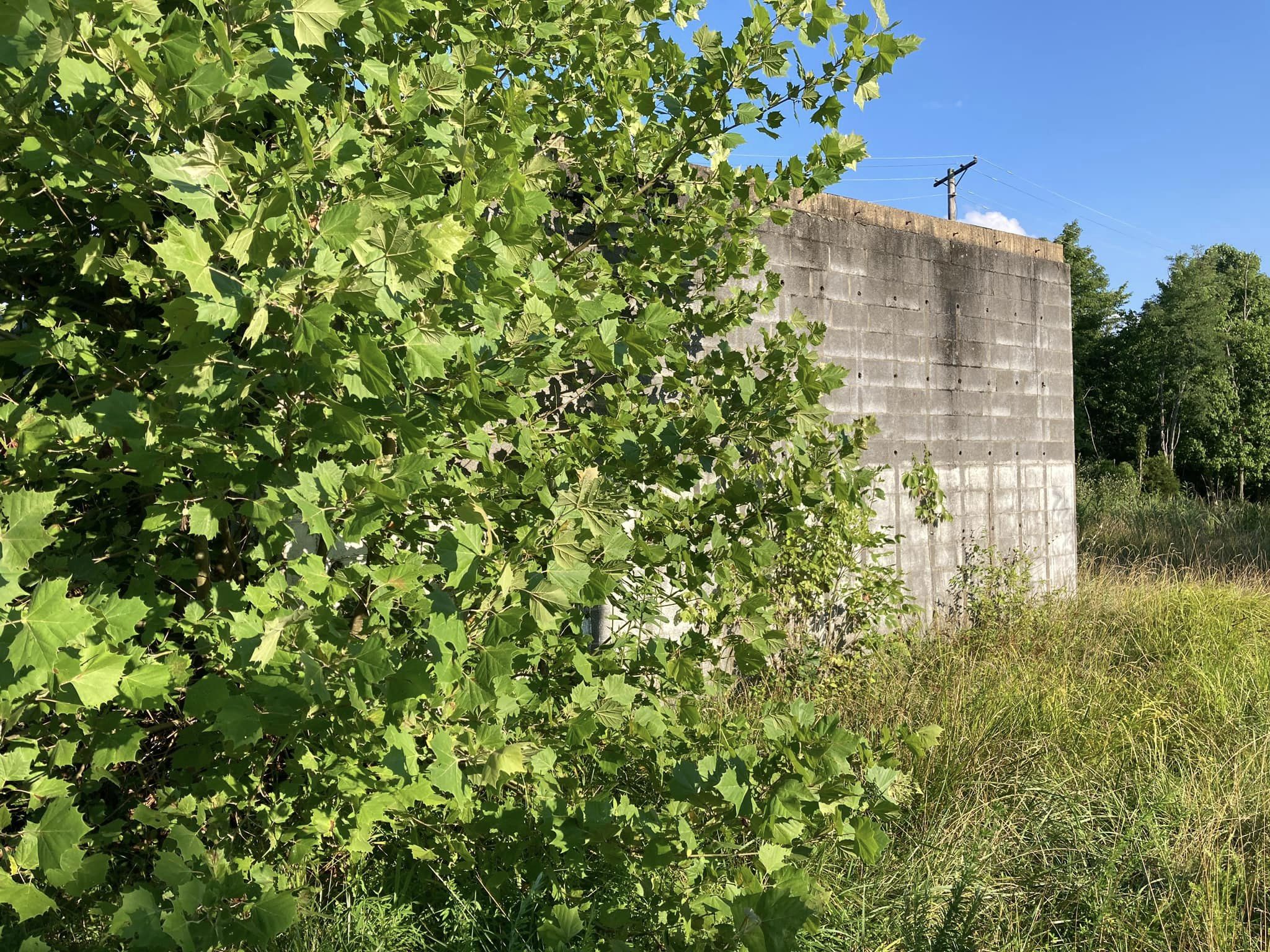
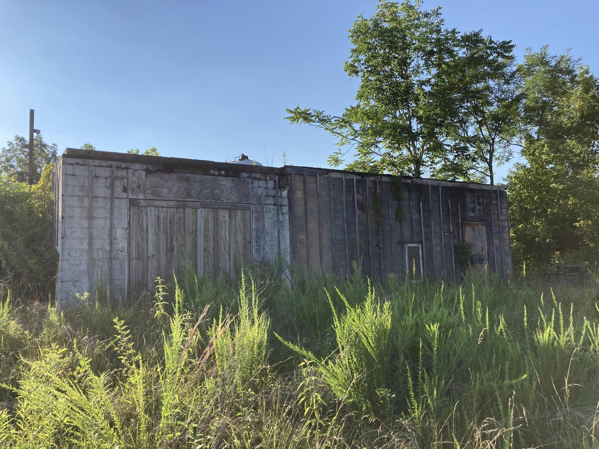
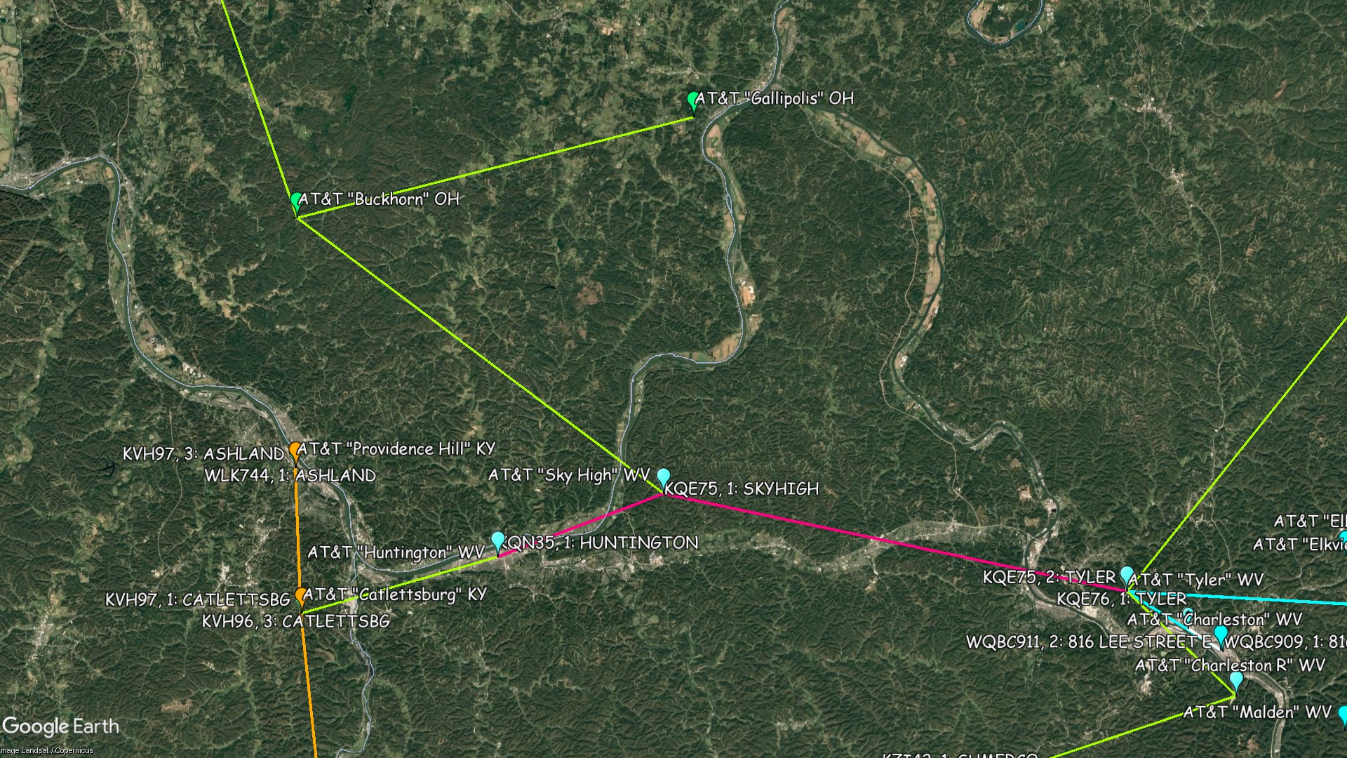
Sky High - West Virginia
Coordinates: 38.4766655, -82.25527954
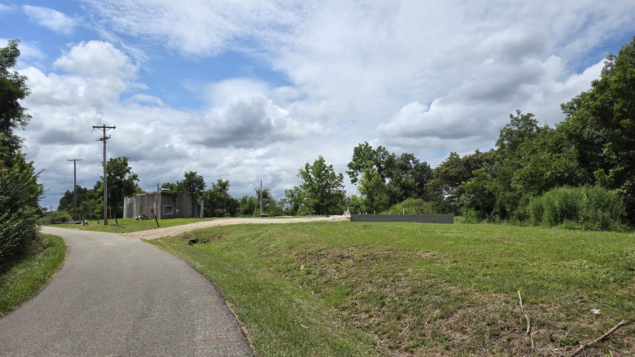
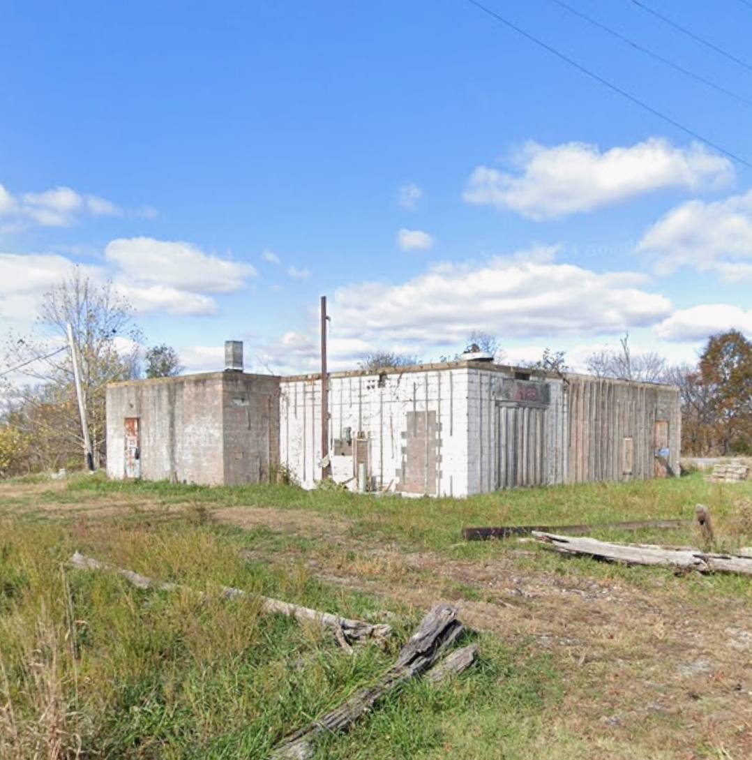
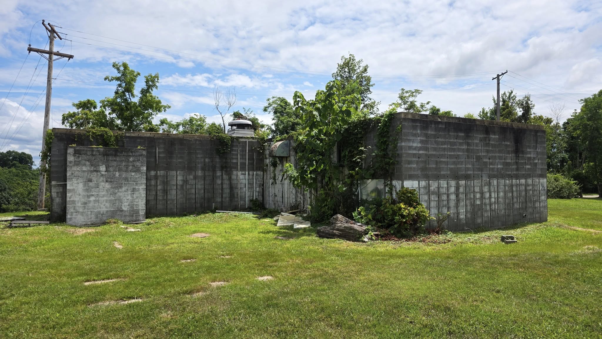
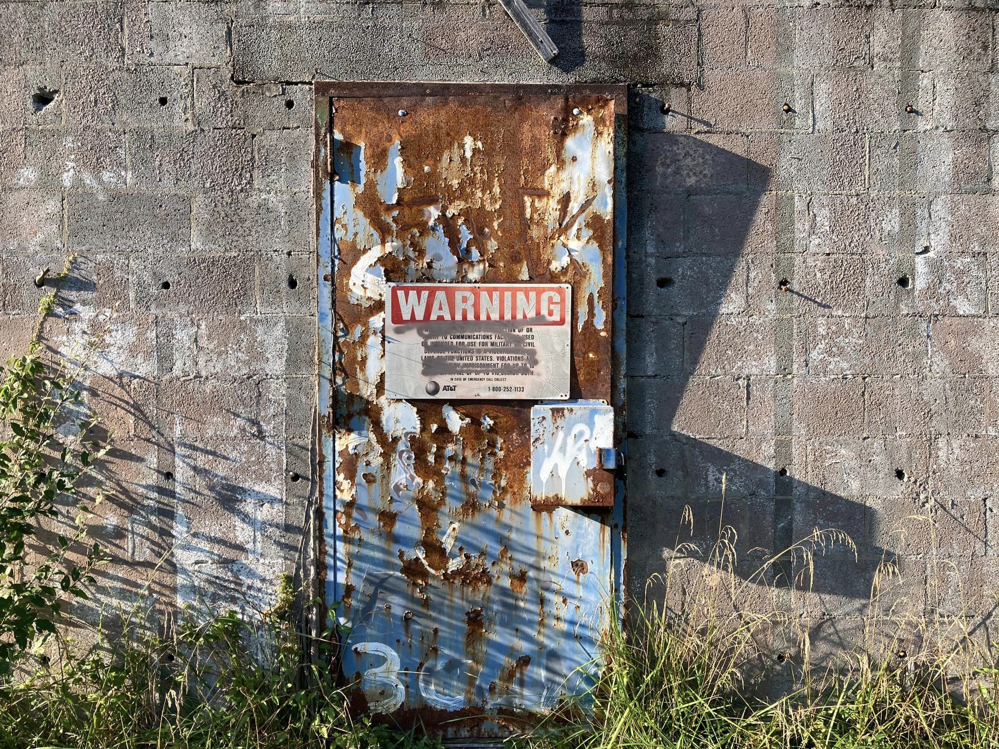
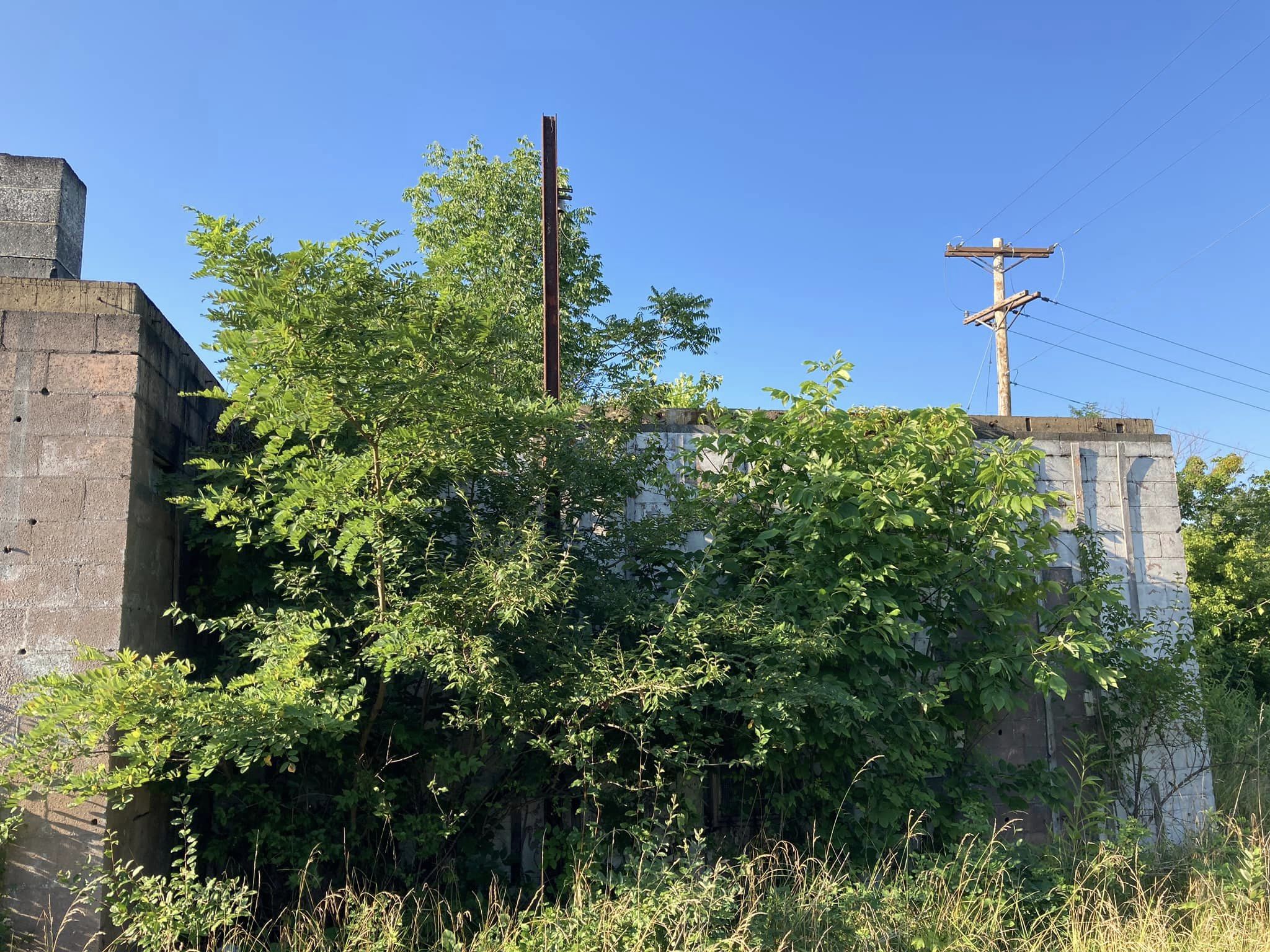
Address: 2.7MI E COX LANDING Ona 25545
Paths To:
View On: Long Lines Map | Google Maps | Bing Maps
View Random Site
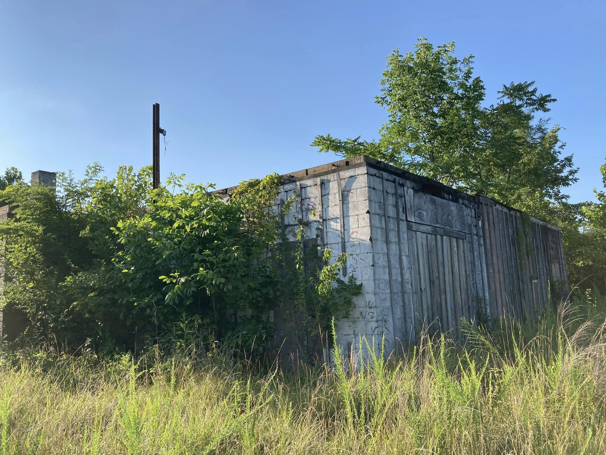
Address: 2.7MI E COX LANDING Ona 25545
Paths To:
View On: Long Lines Map | Google Maps | Bing Maps
View Random Site