La Panza Peak Changes 1994 -2025 Collapse/Expand
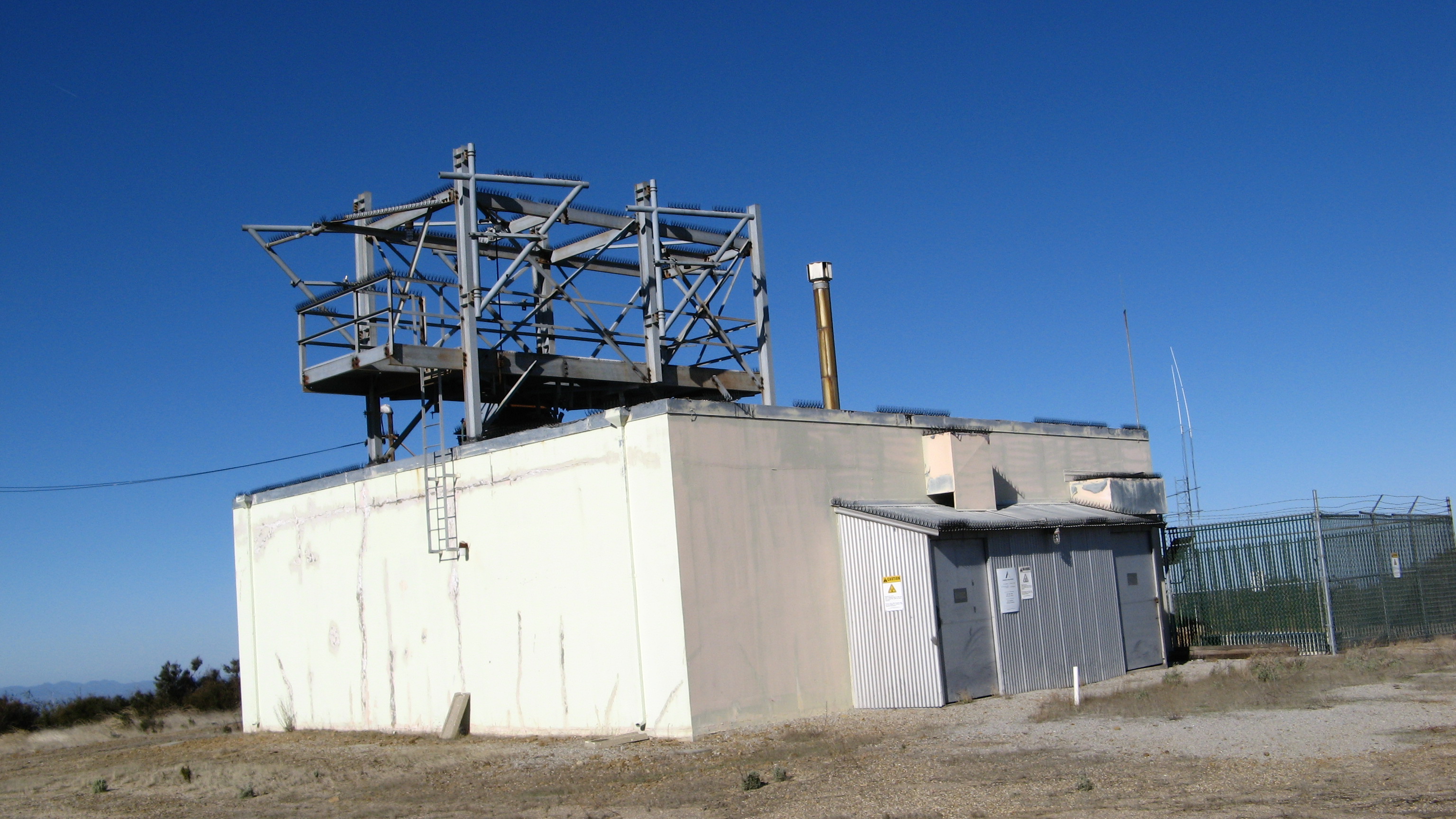
The AT&T MW site on La Panza Peak was active beyond 1994 and ended operation around the early 2000's. The building was vacated by AT&T and put up for sale, ultimately being purchased by the county of San Luis Obispo. The county refurbished the building and installed their full suite of com gear for public agencies which is interconnected to six or seven similarly equipped facilities serving the area with a simulcast system.
I had met the AT&T com tech on site a few times in the nineties, he also maintained the AT&T site on Tassajara Peak in SLO county (and maybe others). I built a ham radio repeater/remote base on La Panza in 1994 and retired in in 2023.
The site is nearly 4,000ASL with amazing views in all directions.