Mojave- California

Coordinates: 35.022783, -118.023169
Address: Sec.26, T11, R11 Mojave 93501
Paths To: High Vista   Bird Springs   Boron
View On: Long Lines Map | Google Maps | Bing Maps

View Random Site

Site Notes

Add site note

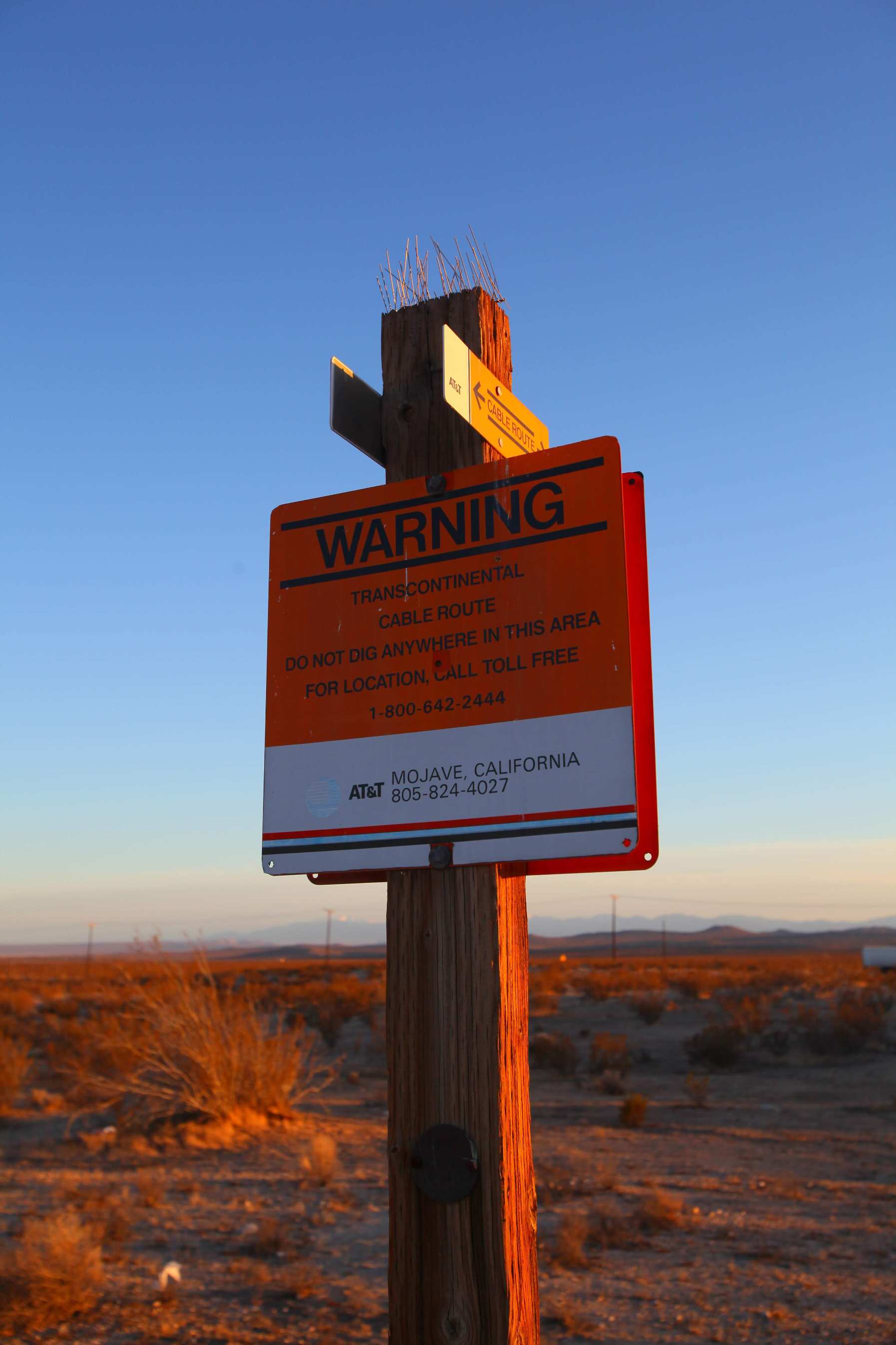
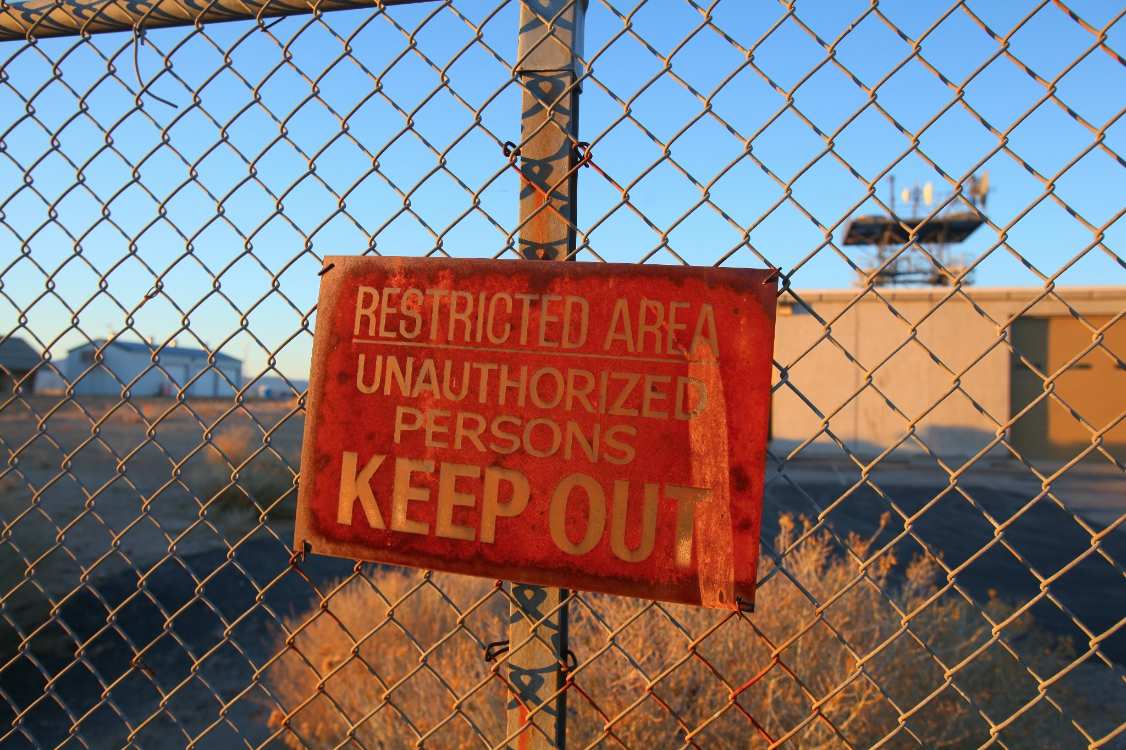
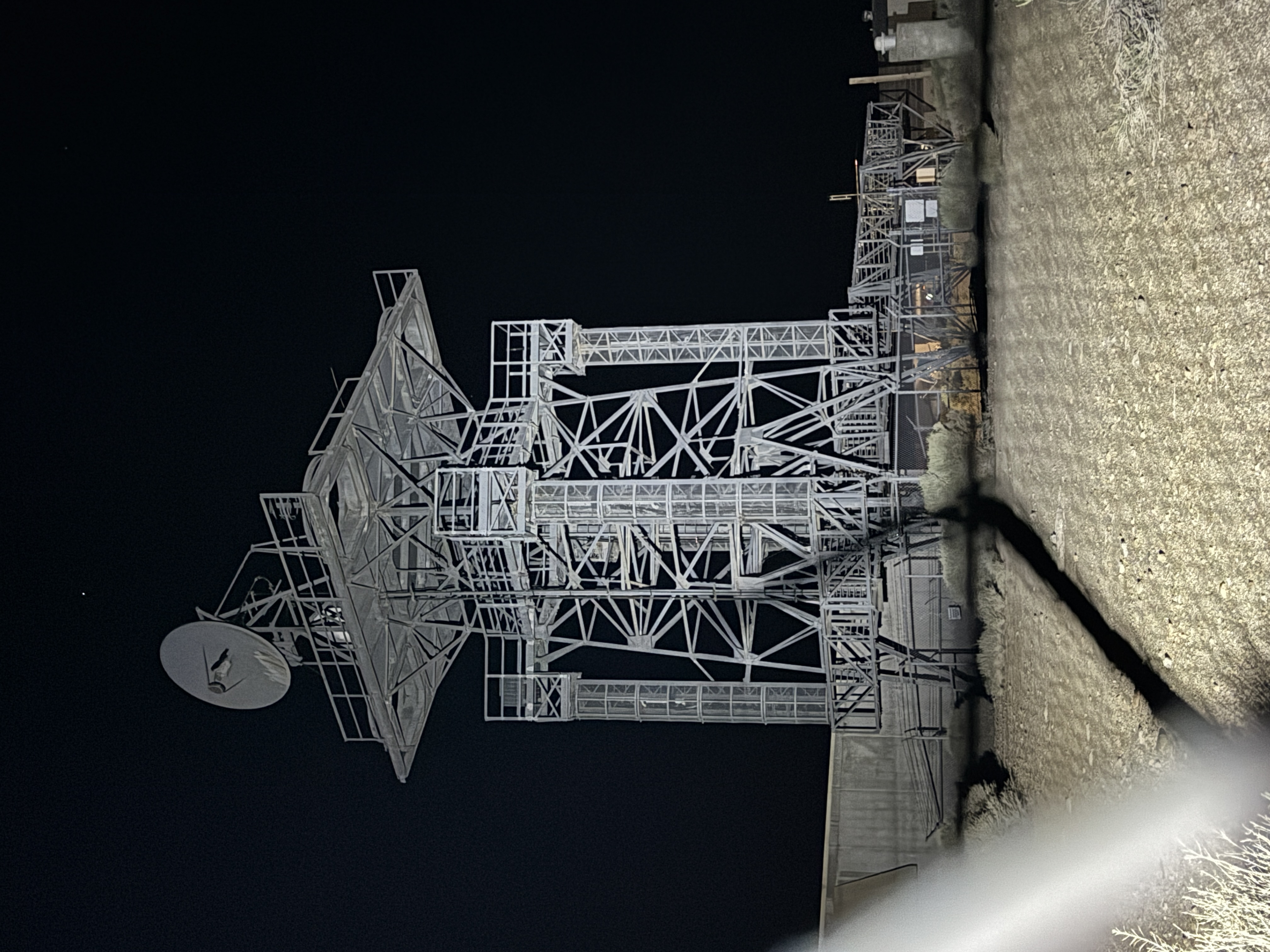
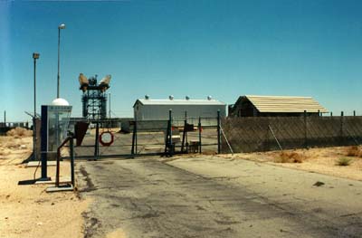
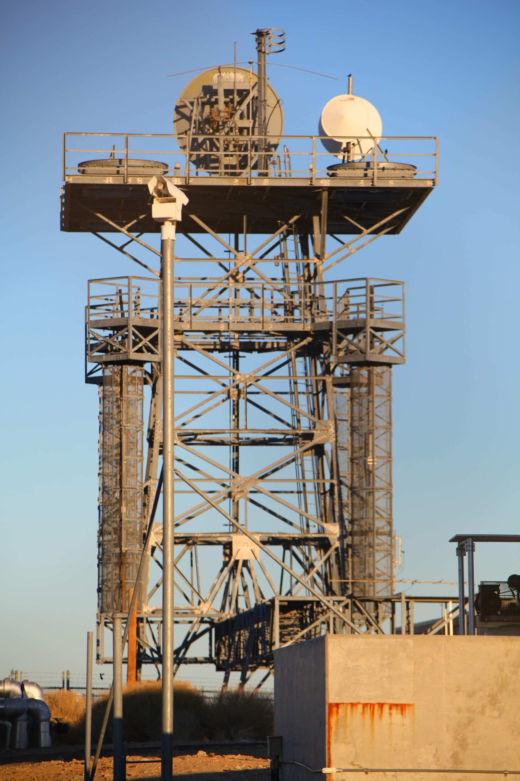
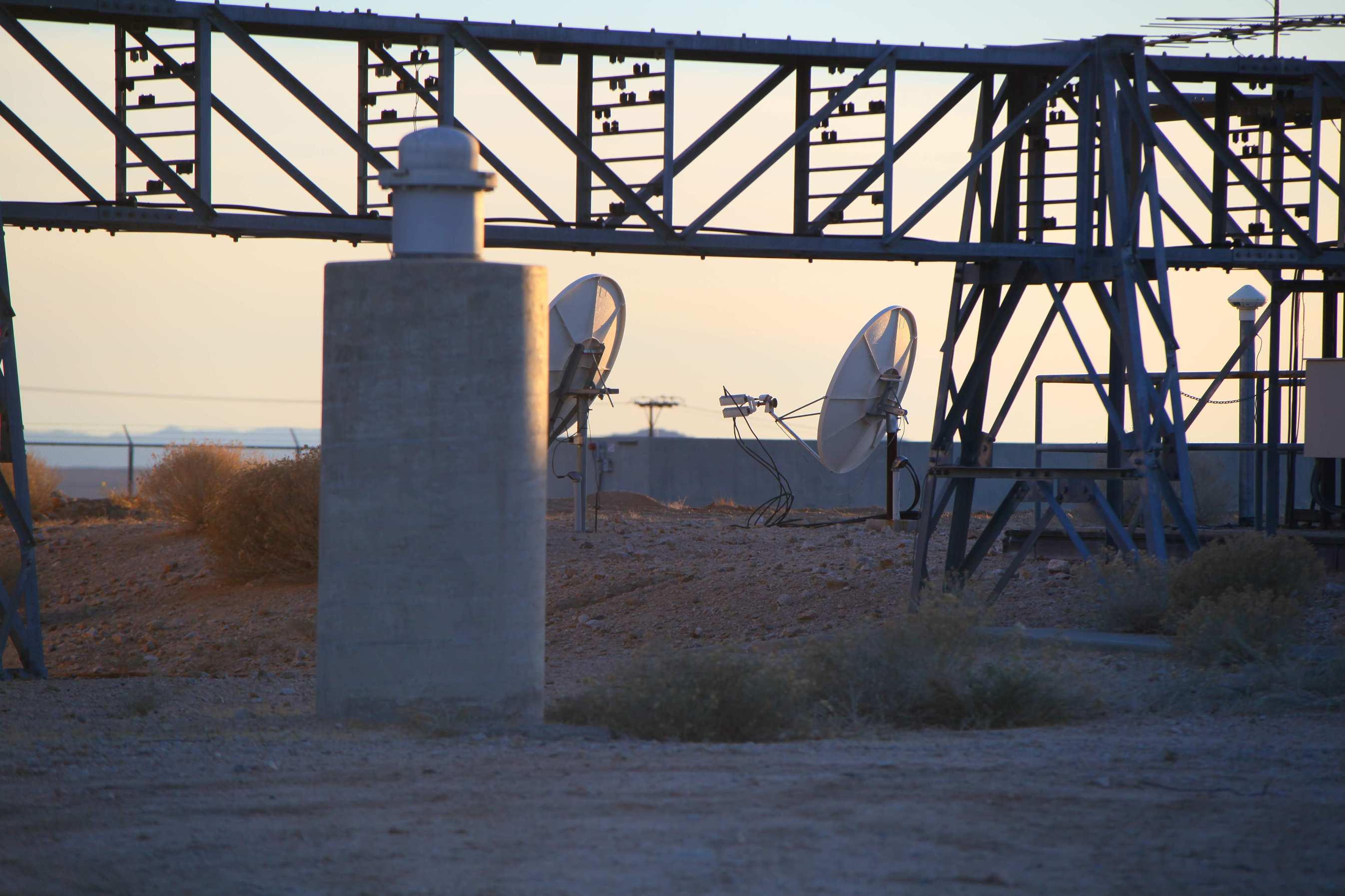
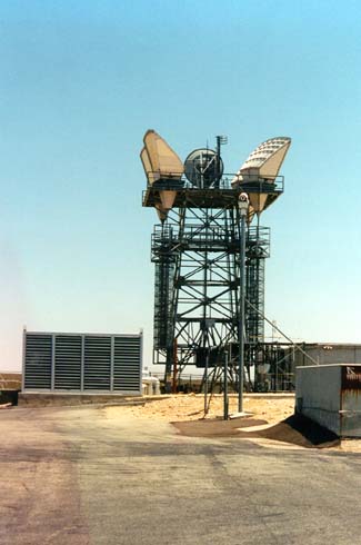
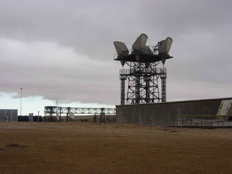
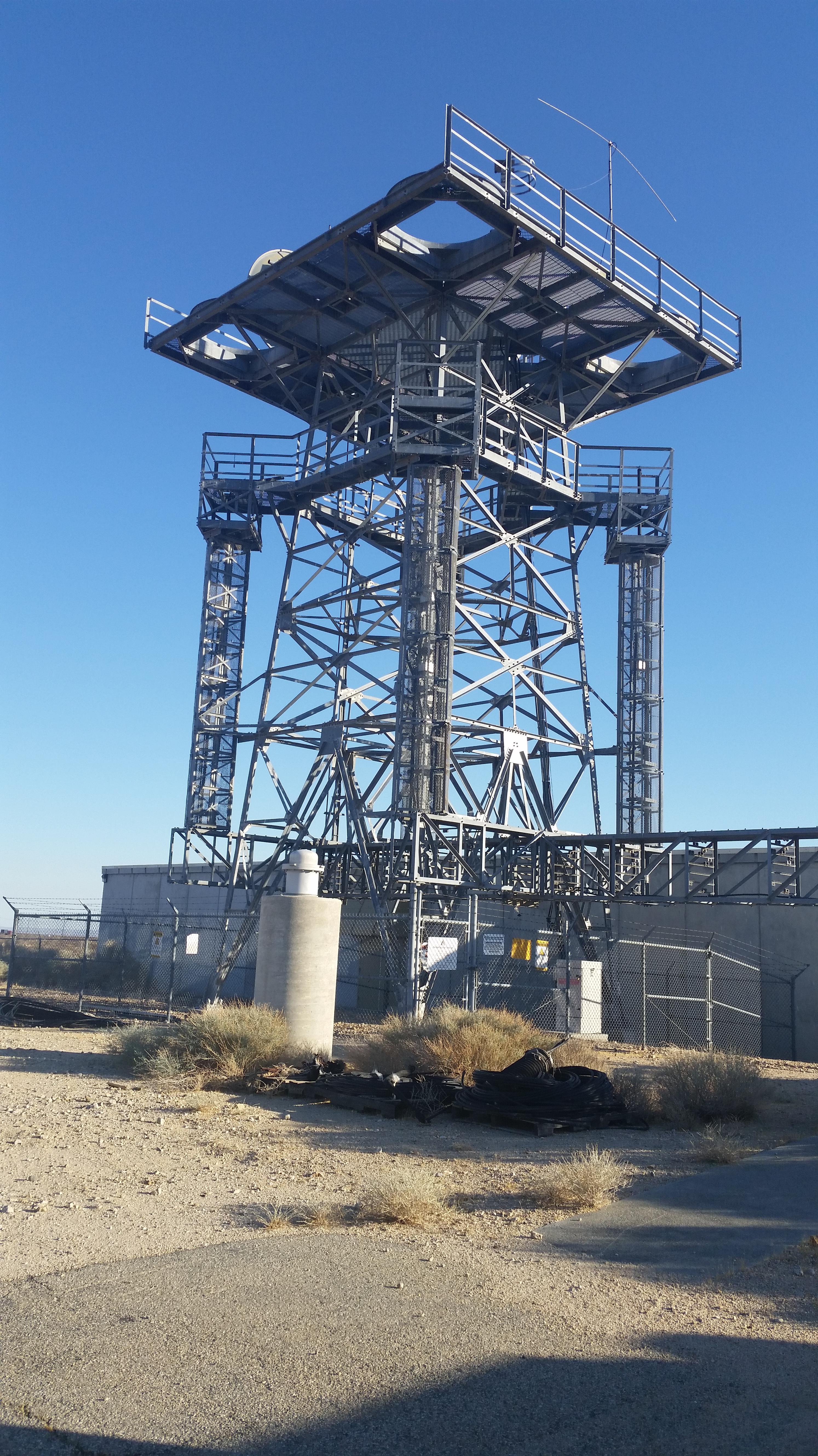
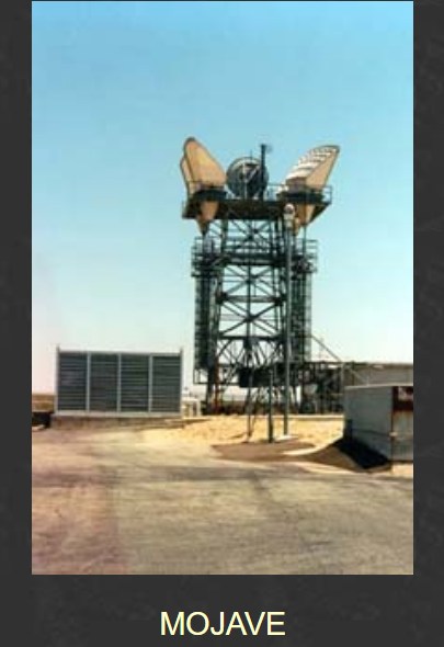
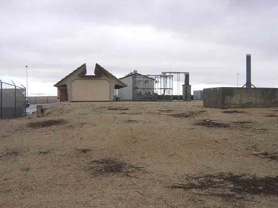
HISTORY   Collapse/Expand

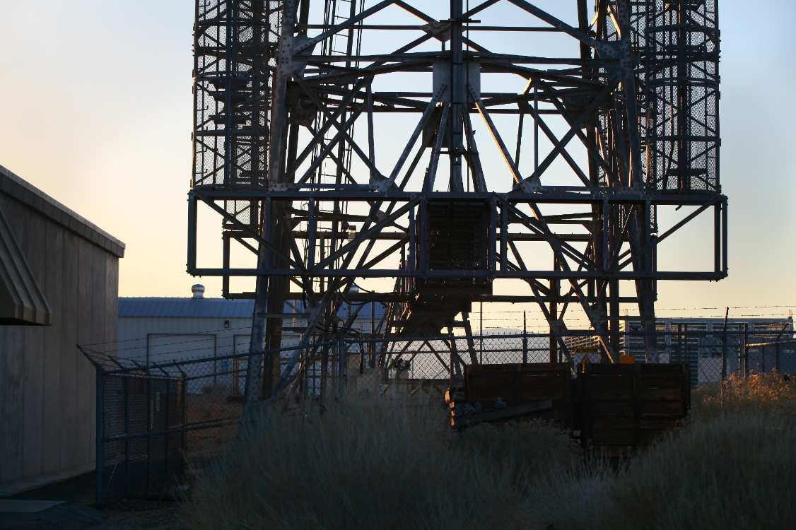
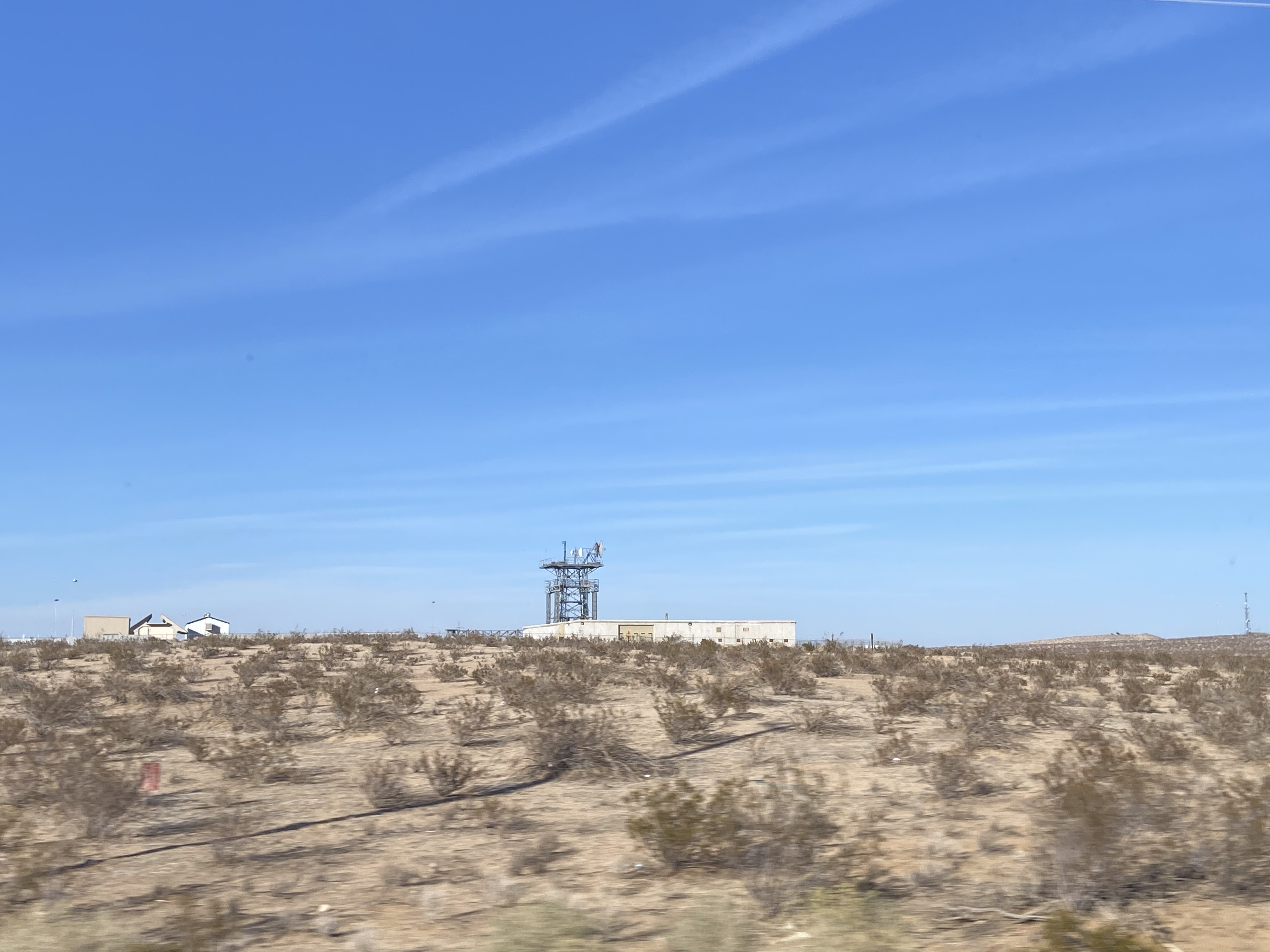
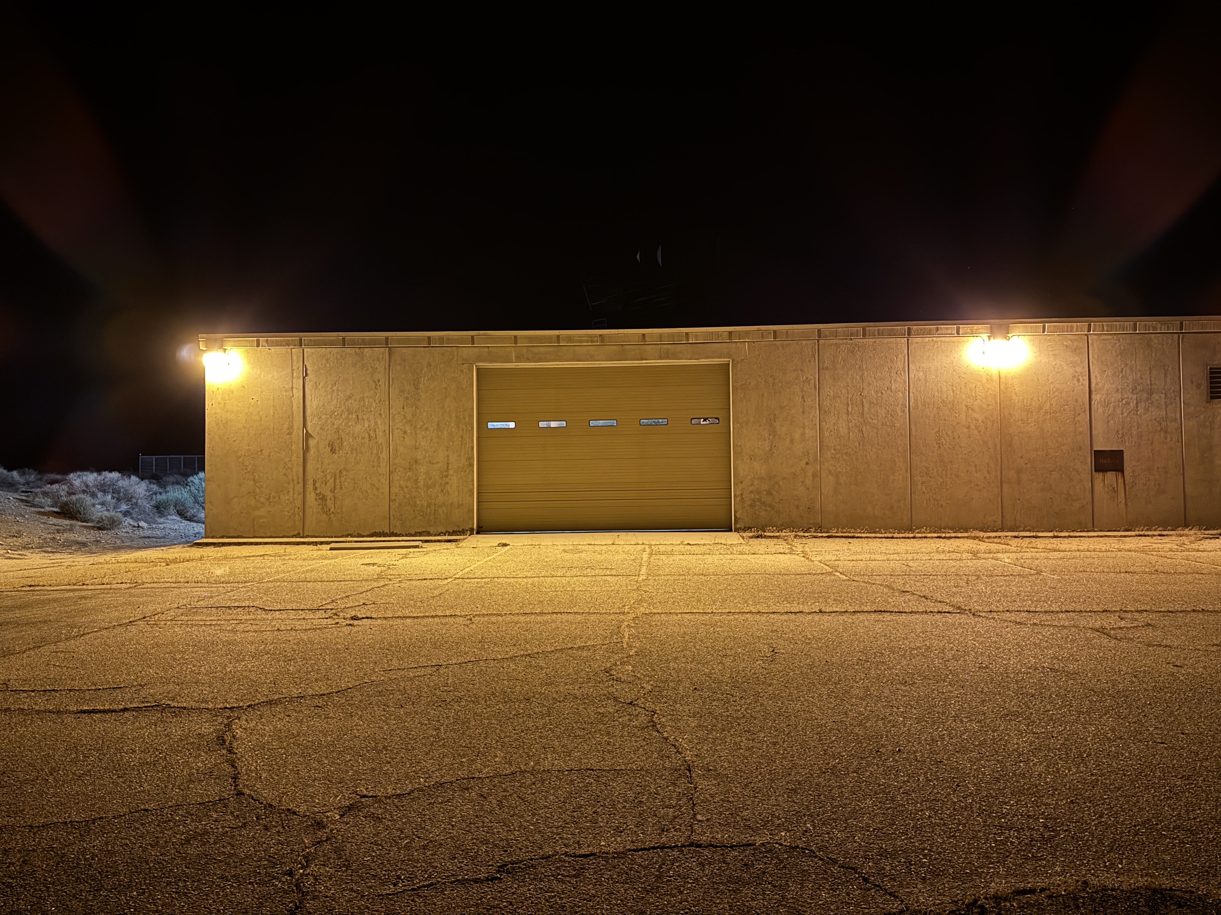
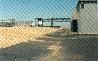
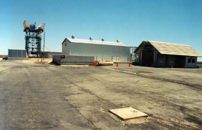
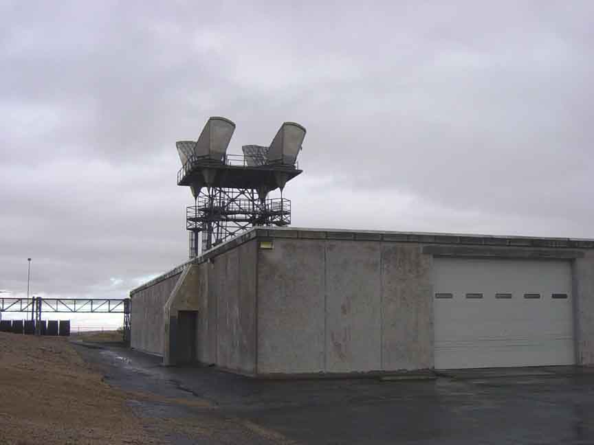
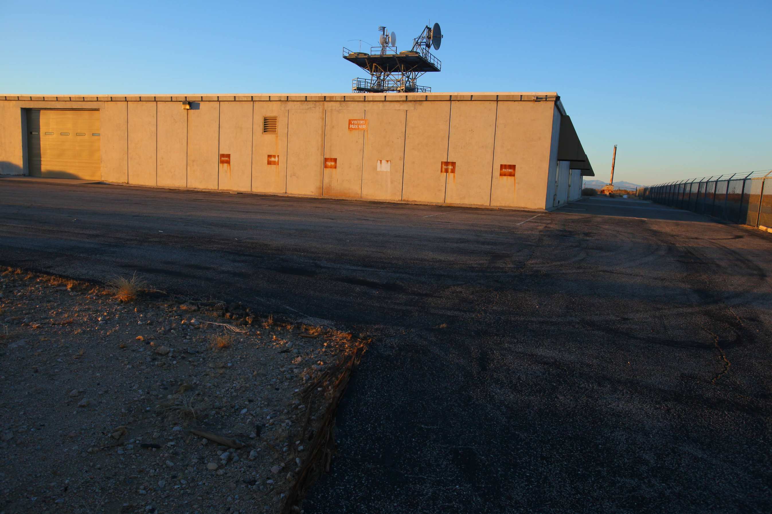
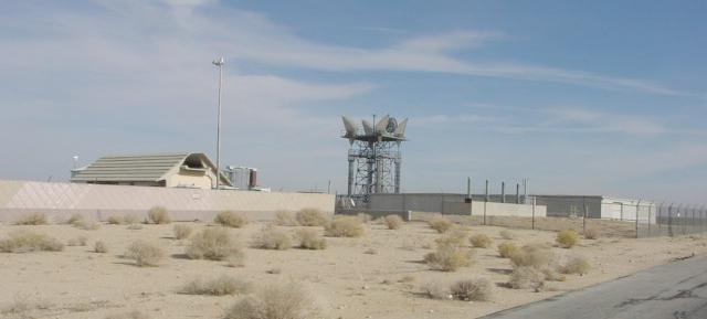
Terminal Main Station. Large underground site of three floors. Originally contained a #1 ESS switch for AUTOVON on the bottom floor, along
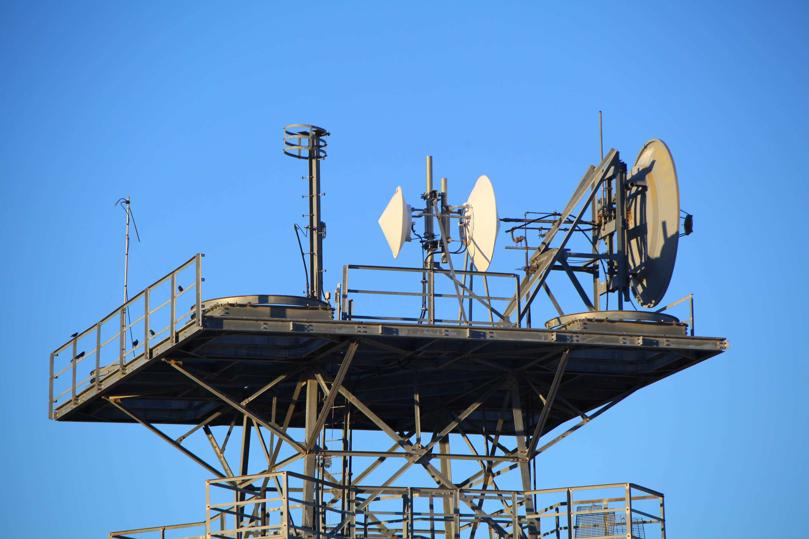
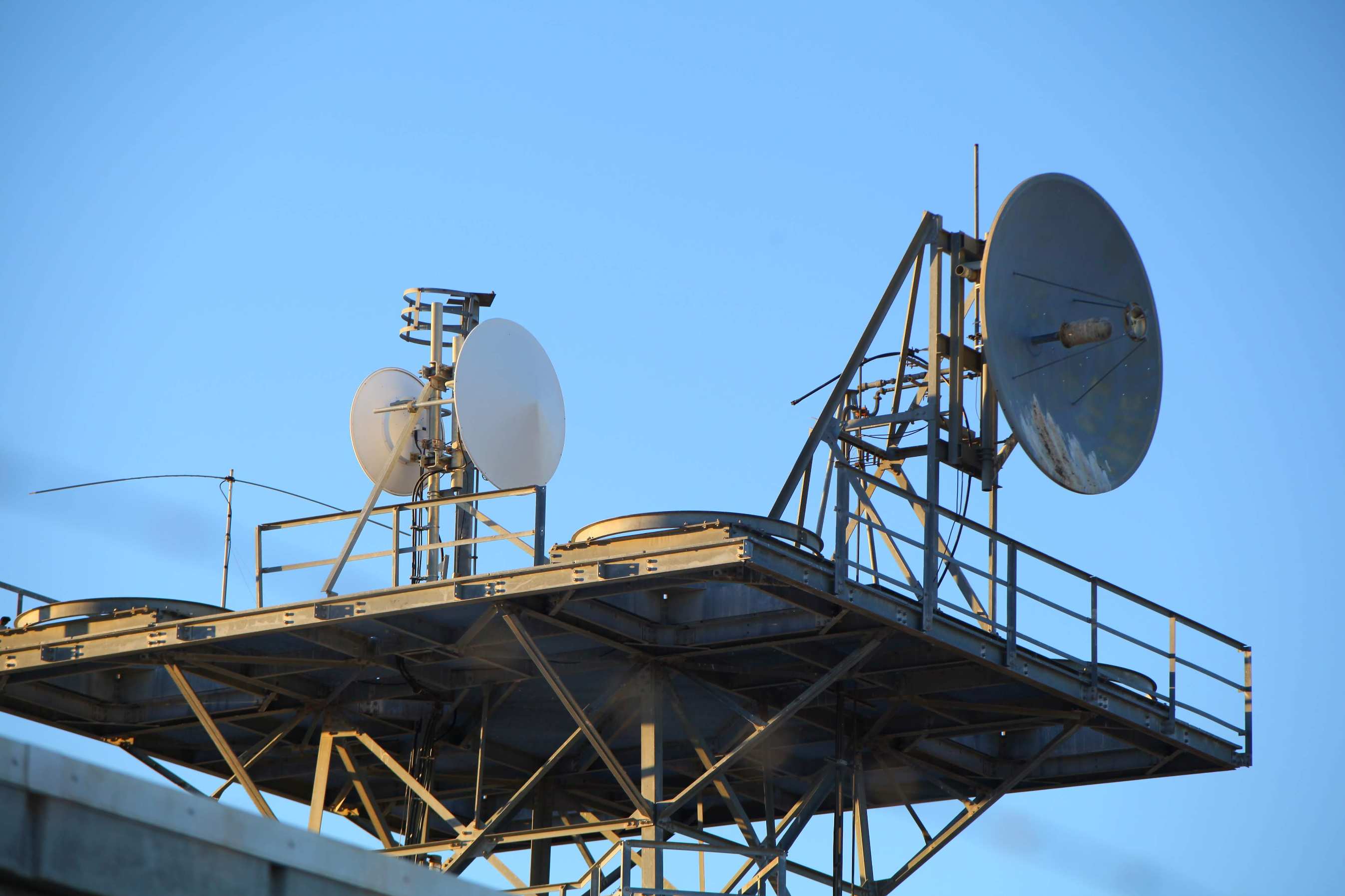
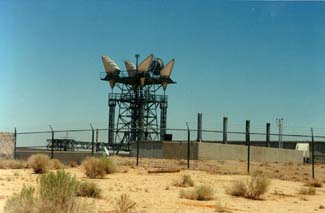
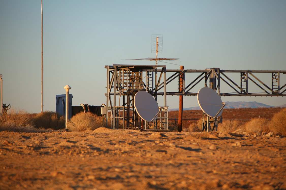
with 2 500 KVA White-Superior diesel generator sets. Carrier equipment, including much LMX, short haul Type "N" carrier terminals, and L-3 line bays were on the next floor, along with private line testboards. Administrative
areas were on the mezzanine level. Extensive LMX-2 and MMX (multi-mastergroup multiplex). 505D plants powered sections toward Beacon
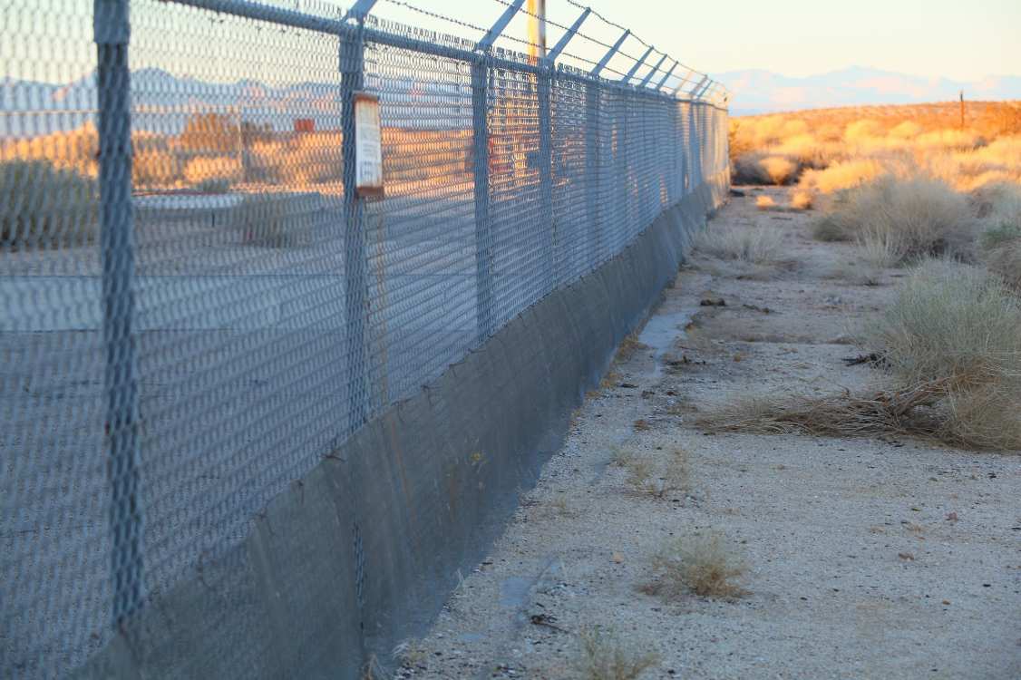
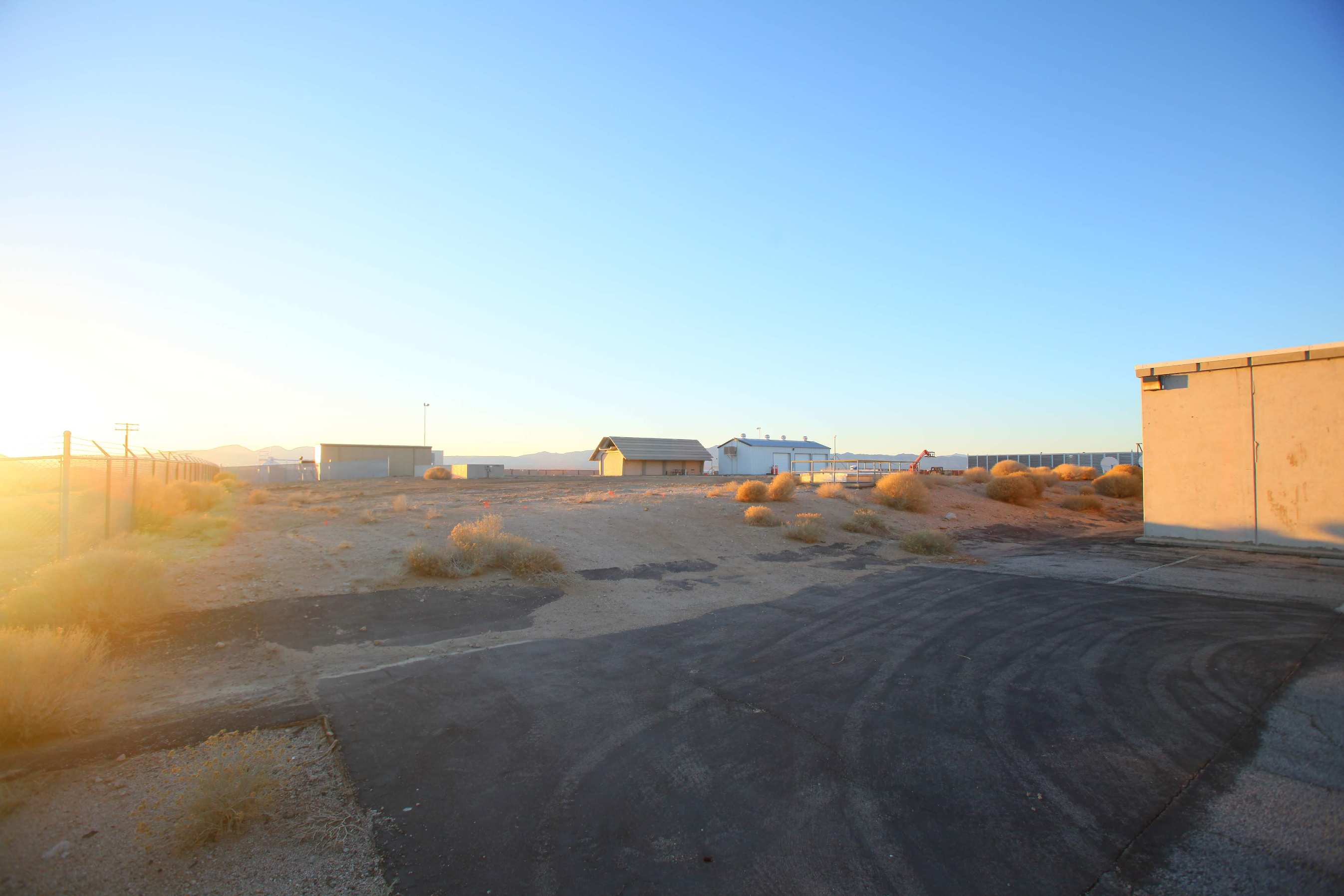
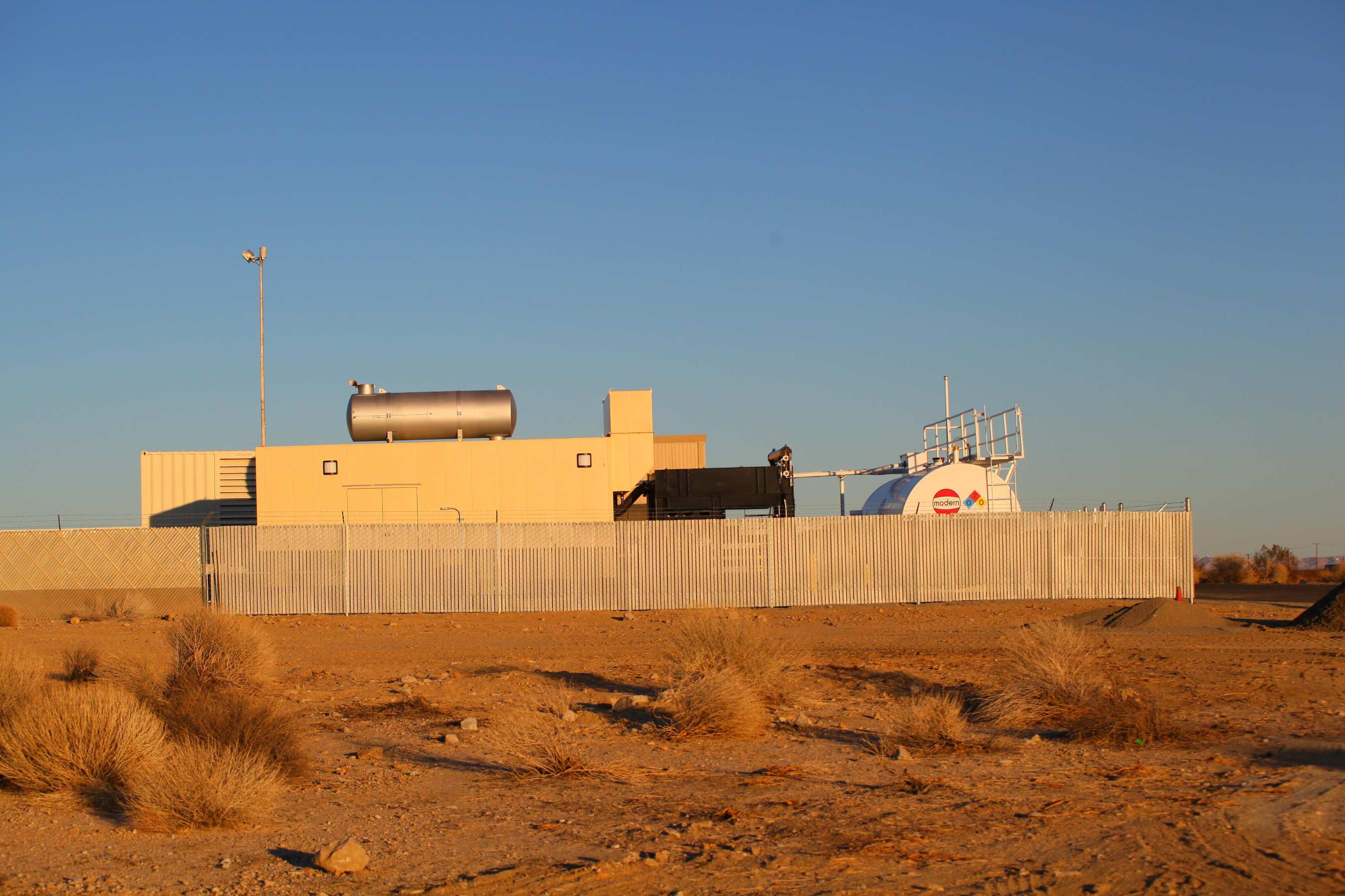
(Baker), Los Angeles, Sherman Oaks and San Luis Obispo. The site had diesel fuel tanks encased in concrete that contained 50,000 gallons of #2 diesel! Living accommodations and food supplies were kept on site at all times.
Radiation detection equipment, "hot" showers (to wash fallout off of brave technicians who ventured outside after the blast) and recreational facilities were provided. (B. Scarboro)

SITE HISTORY (THECENTRALOFFICE   Collapse/Expand

Mojave was a very important junction for both commercial and military communications. Mojave was the switching terminus (end) for the first "nuclear hardened" L-3I transcontinental cable that started in Airmont, New York. Mojave also served branch point for the cables serving southern California. L-3 Cables were routed from Mojave to Los Angeles 03 (Madison), San Bernardino and an extension to San Luis Obispo Junction (via Maricopa power feed) to connect with Transpacific cables. Mojave was an AUTOVON site and secured military cables were routed to Edwards Air Force Base. Mojave was a hardened site i.e. to "survive" a nuclear blast and had reinforced underground shelters with enough food and water for maintenance personal to allow communication continuity. Emergency generators and decontamination equipment was also installed. DEHORNED AS OF 2004. ARCHIVED FROM THECENTRALOFFICE.COM

AT&T L3I Hardened Coaxial Cable Route Map (New York to California)   Collapse/Expand

https://www.google.com/maps/d/edit?mid=1M0bofCUqau9lXRFLOwsHXj0mM7YpXNM&usp=sharing

Site Documents

Site Pictures

Add site Pictures

This event has 0 comments.

Please log in to leave a comment.

All information is provided for free to the public. Pictures and Documents are provided by supporters of the website and for that I am very gateful.
For any questions or comments please email [email protected].