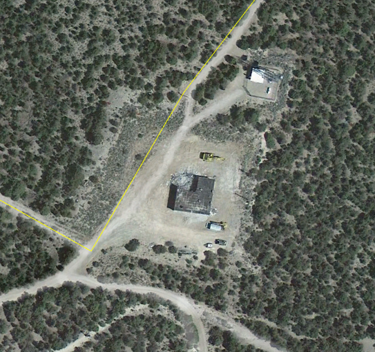
Sacramento Pass - Nevada
Coordinates: 39.10305405, -114.3655548
Address: 14M East Us Highway 50 & 93 Baker 89311
Paths To: Murray Summit Confusion Mountain
View On: Long Lines Map | Google Maps | Bing Maps
View Random Site
Address: 14M East Us Highway 50 & 93 Baker 89311
Paths To: Murray Summit Confusion Mountain
View On: Long Lines Map | Google Maps | Bing Maps
View Random Site