Monrovia- Maryland

Coordinates: 39.348901, -77.280585
Address: Monrovia
Paths To: Lewistown   Short Hill Mountain   CLARKSVILLE MD   ALDIE VA
View On: Long Lines Map | Google Maps | Bing Maps

View Random Site

Site Notes

Add site note

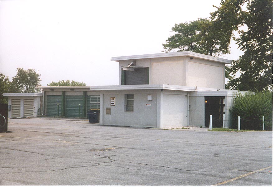
SITE HISTORY (MARK FOSTER'S SITE)   Collapse/Expand

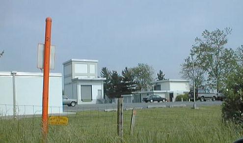
Original SCAN Facility
Formerly 4 Wire No 5 Crossbar
Formerly No. 5 Dial Service Assistance Switchboard (AUTOVON)
Most likely now a 5ESS

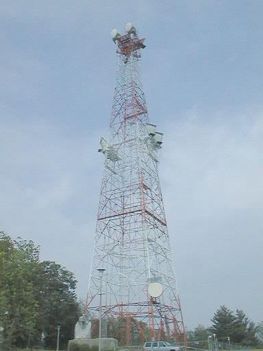
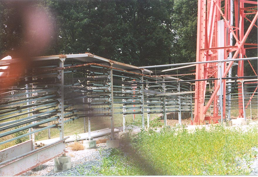
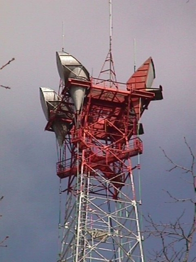
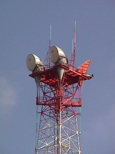
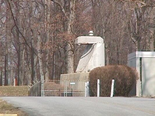
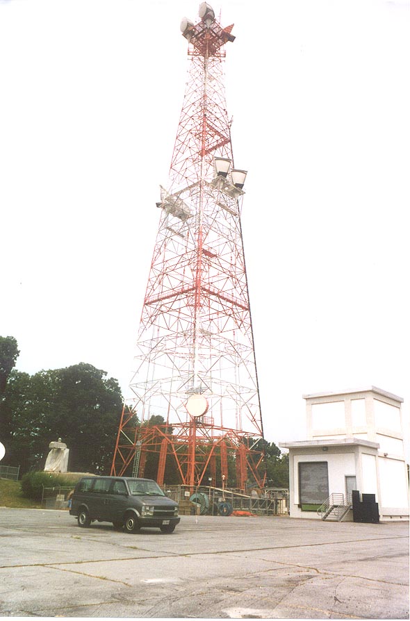
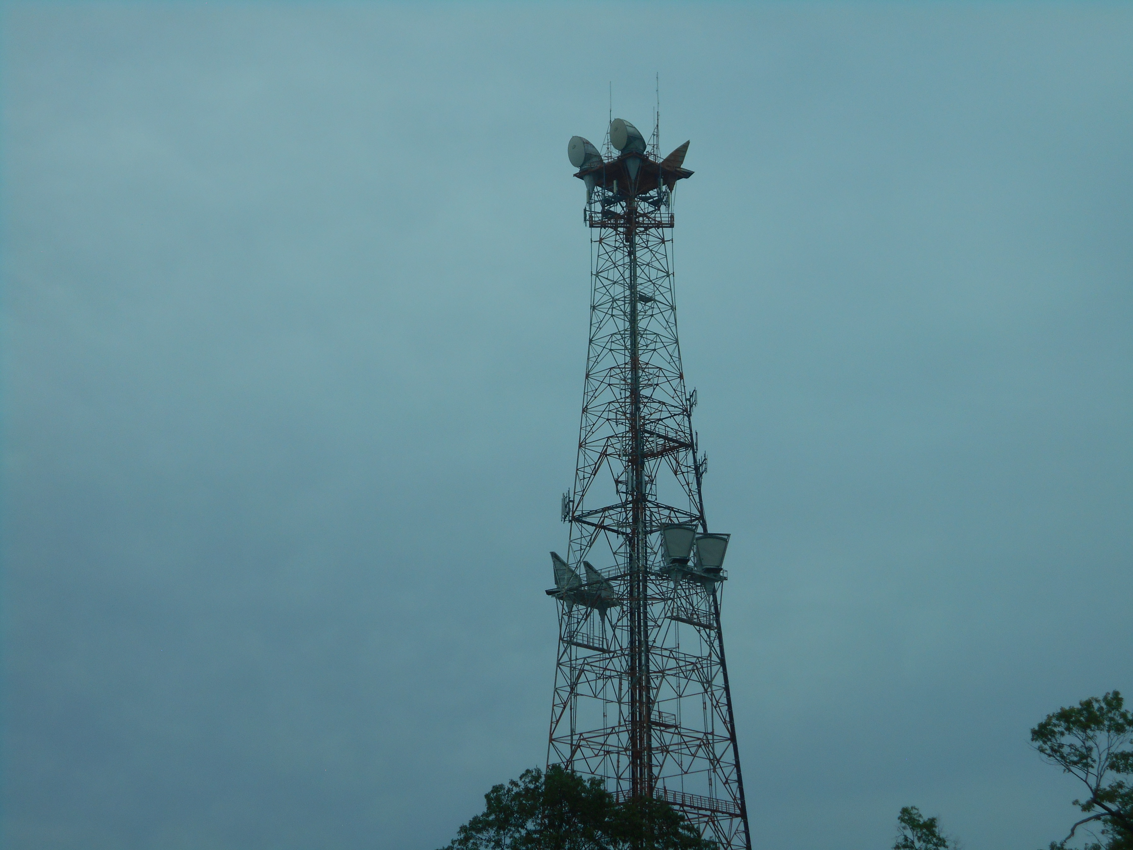
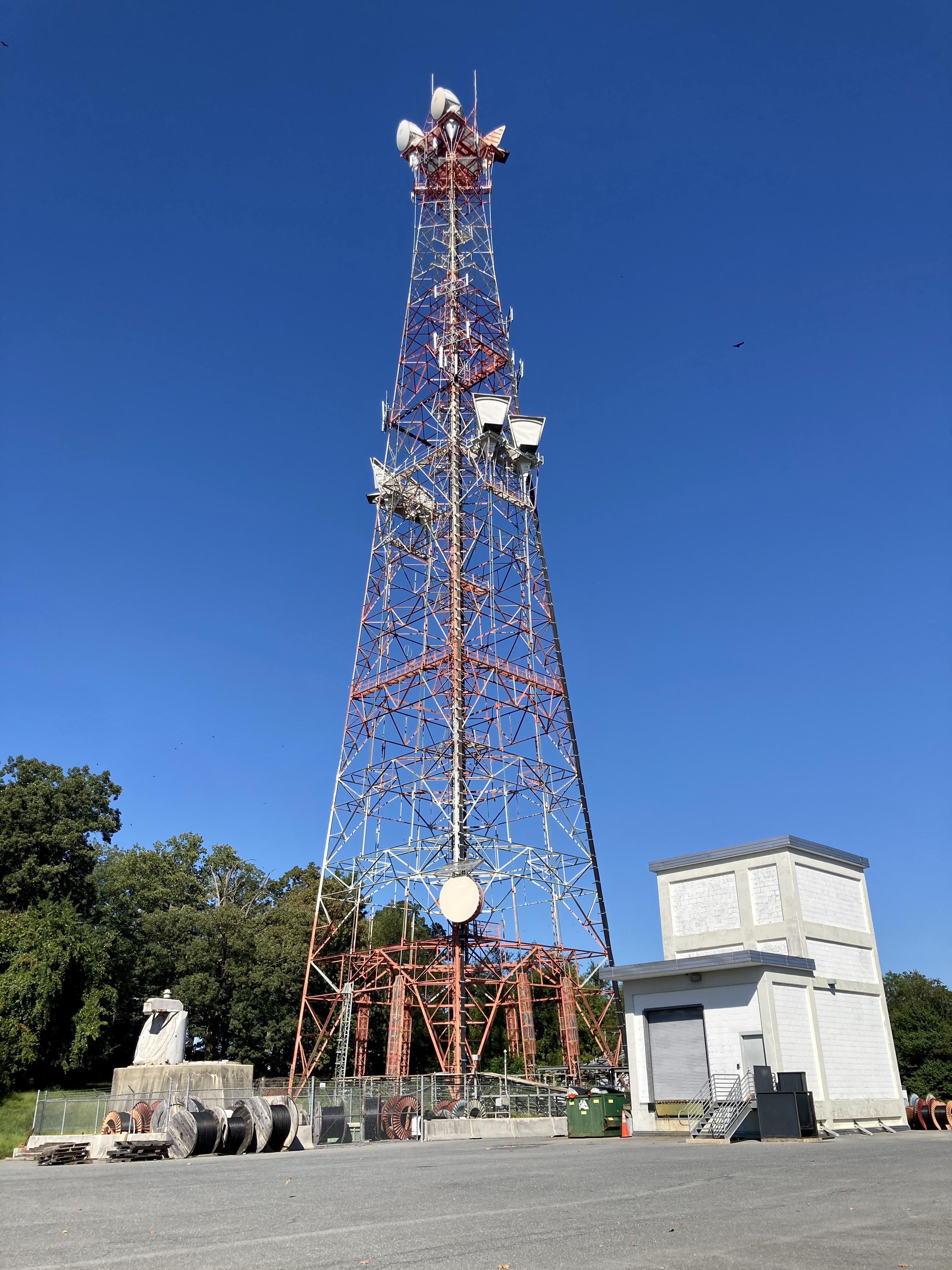
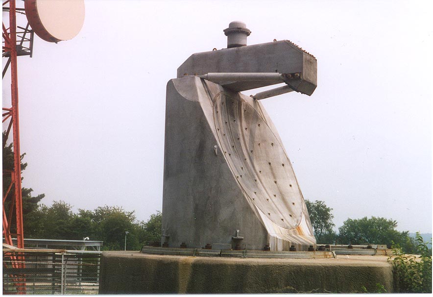
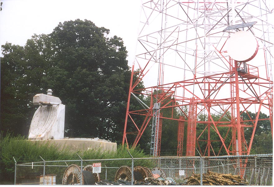
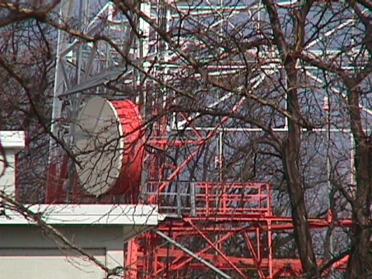
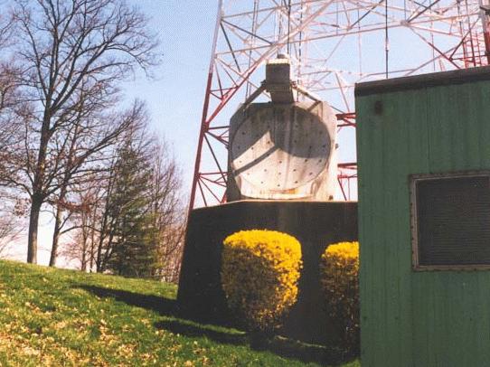
Hardened TD-2 dish up close. Photo courtesy Gosh Grubman. This dish shoots to Leesburg 5 (Short Hill)
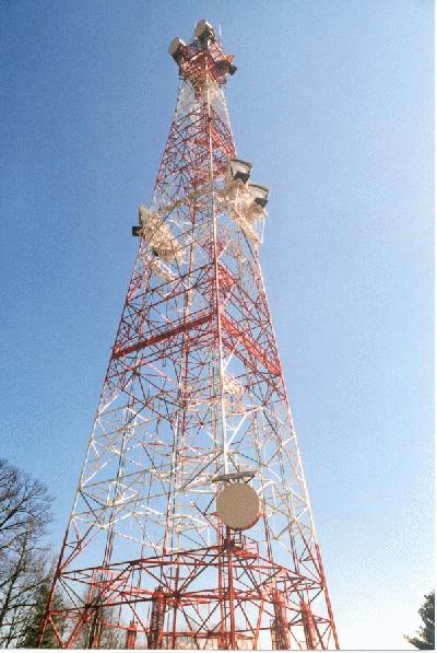
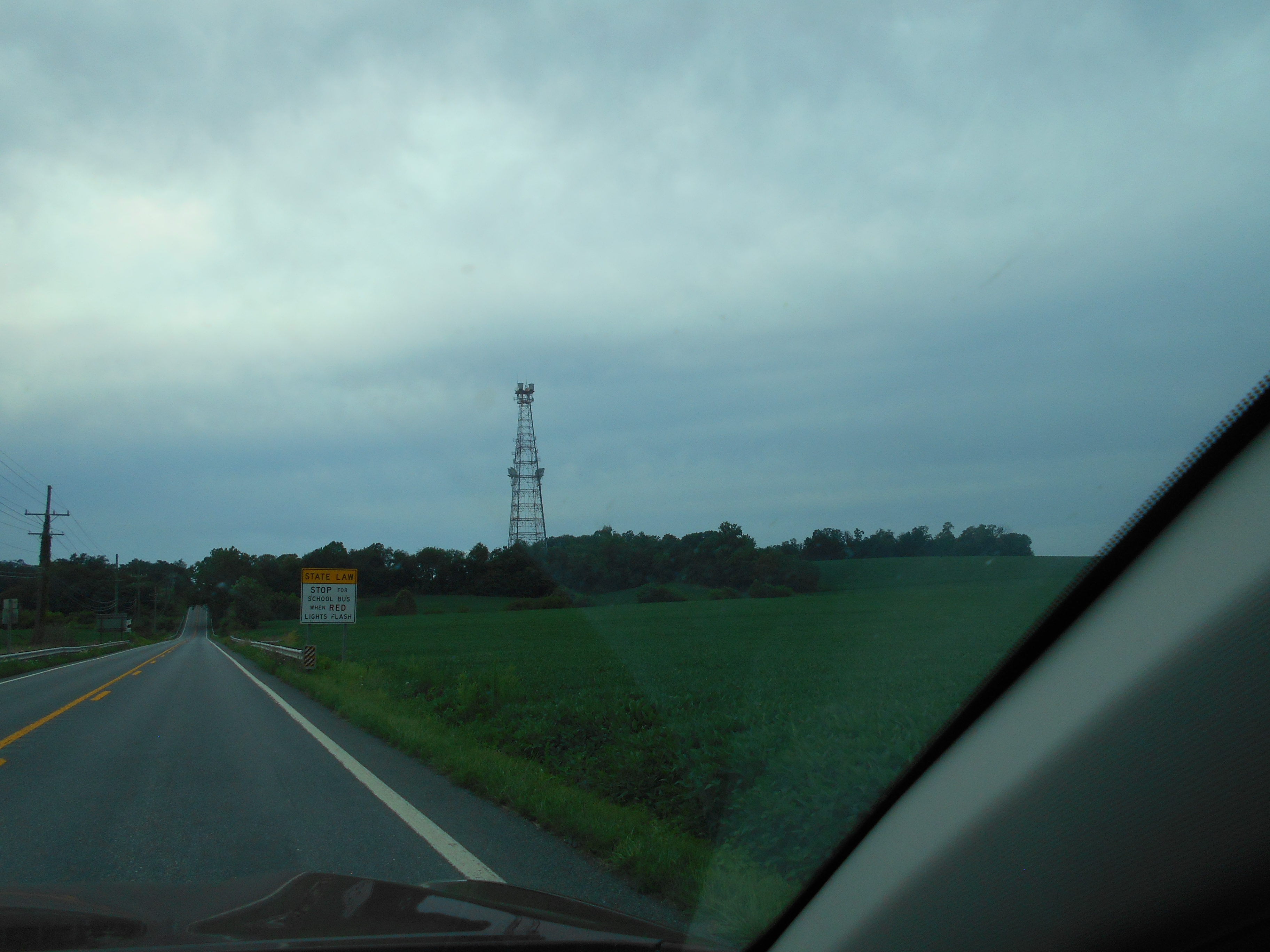
one of the original AT&T communications sites to support the Alternate National Command Center at Raven Rock.
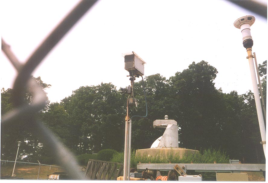
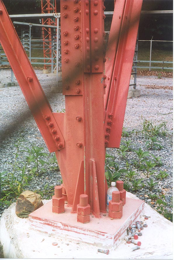
Note nuclear detonation device on top of structure. Communications routes from this site are shown on this map.

ARCHIVED FROM MARK FOSTER'S SITE

AT&T L3I Hardened Coaxial Cable Route Map (New York to California)   Collapse/Expand

https://www.google.com/maps/d/edit?mid=1M0bofCUqau9lXRFLOwsHXj0mM7YpXNM&ll=39.44742394577298%2C-80.14079912761473&z=9

Site Documents

Site Pictures

Add site Pictures

This event has 0 comments.

Please log in to leave a comment.

All information is provided for free to the public. Pictures and Documents are provided by supporters of the website and for that I am very gateful.
For any questions or comments please email [email protected].