SITE HISTORY Collapse/Expand
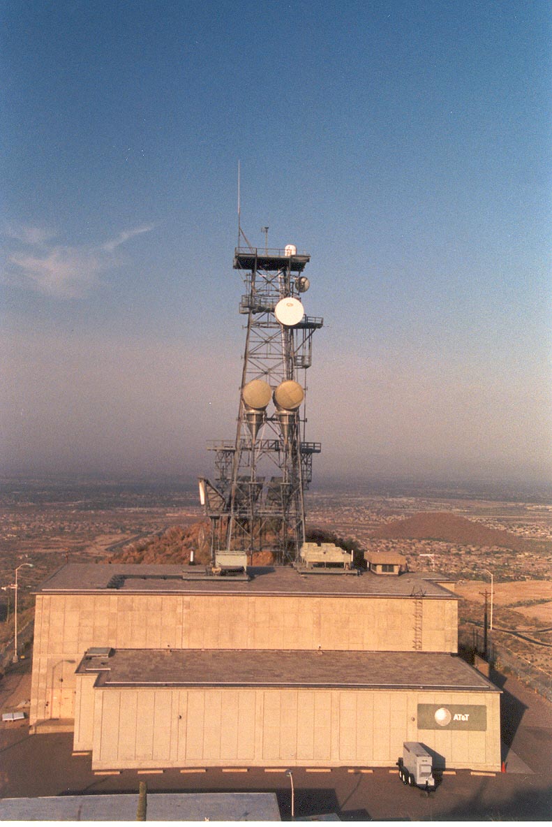
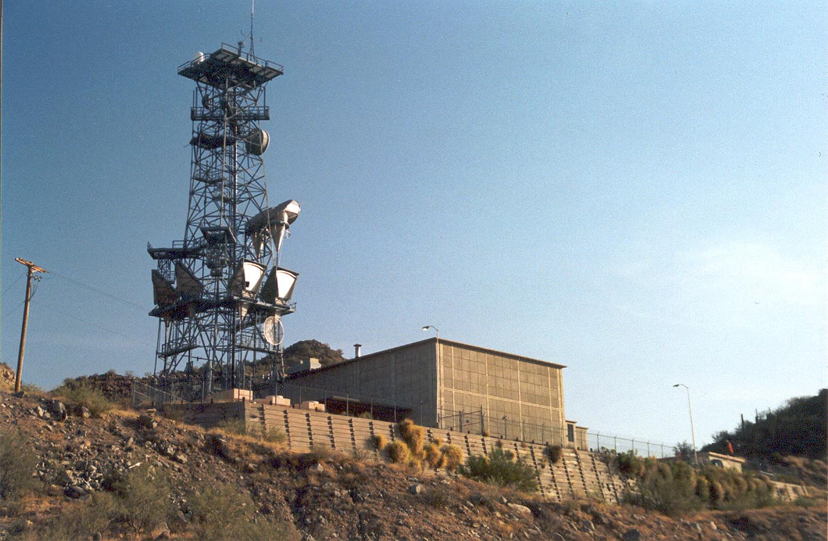
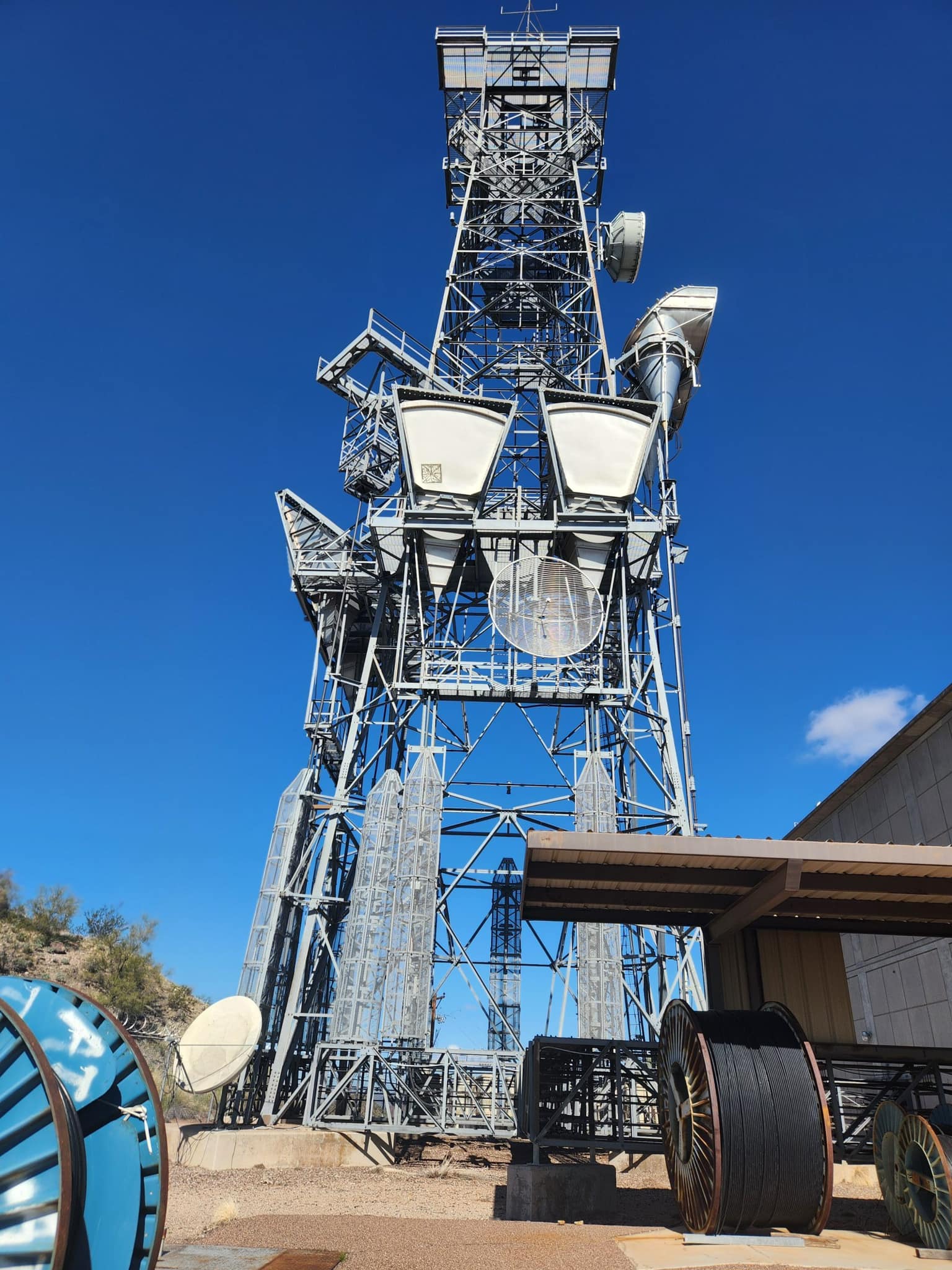
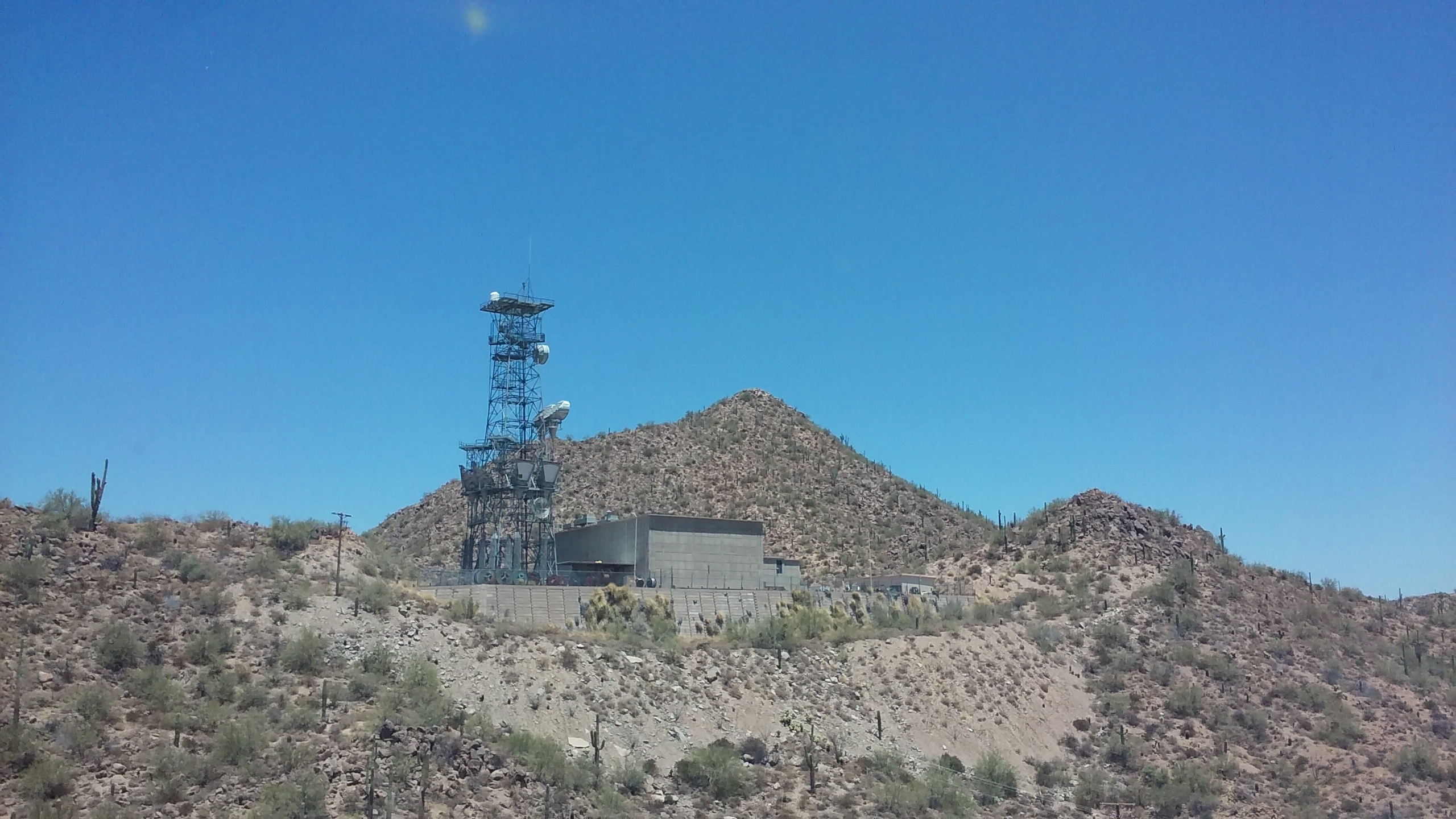
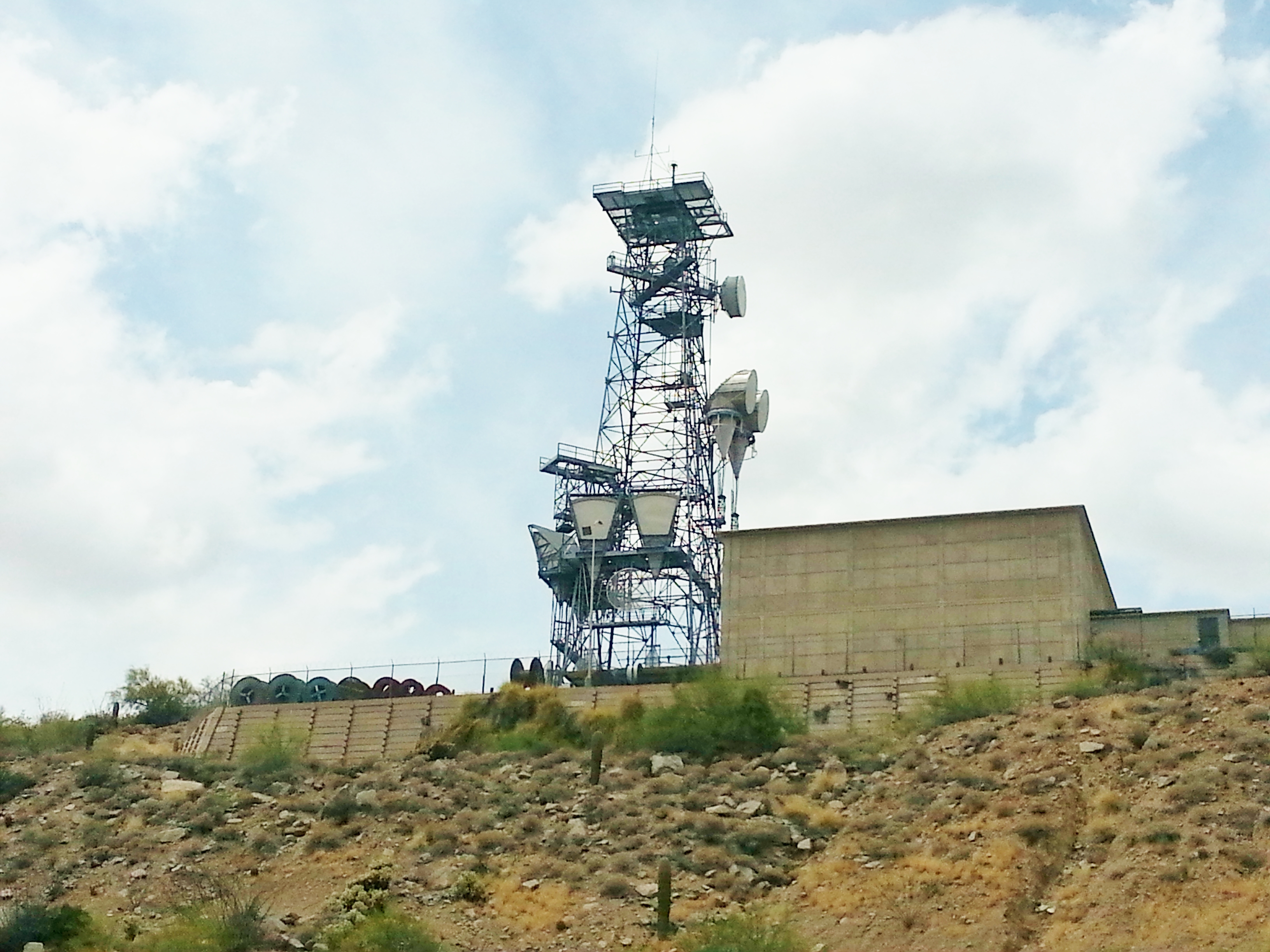
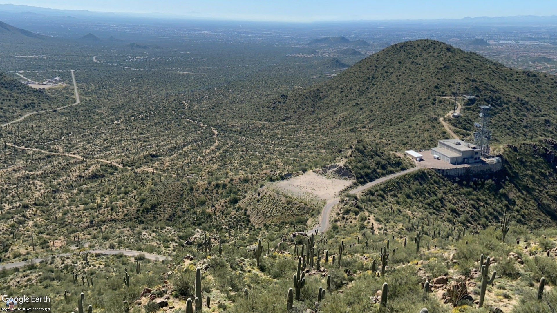
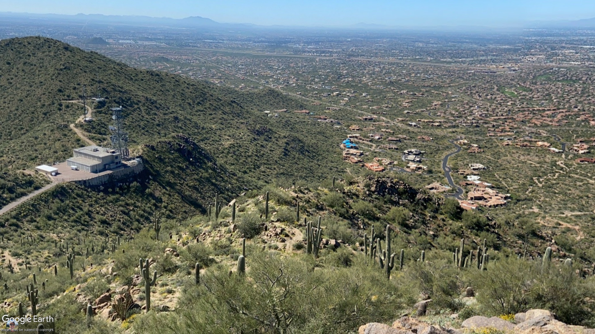
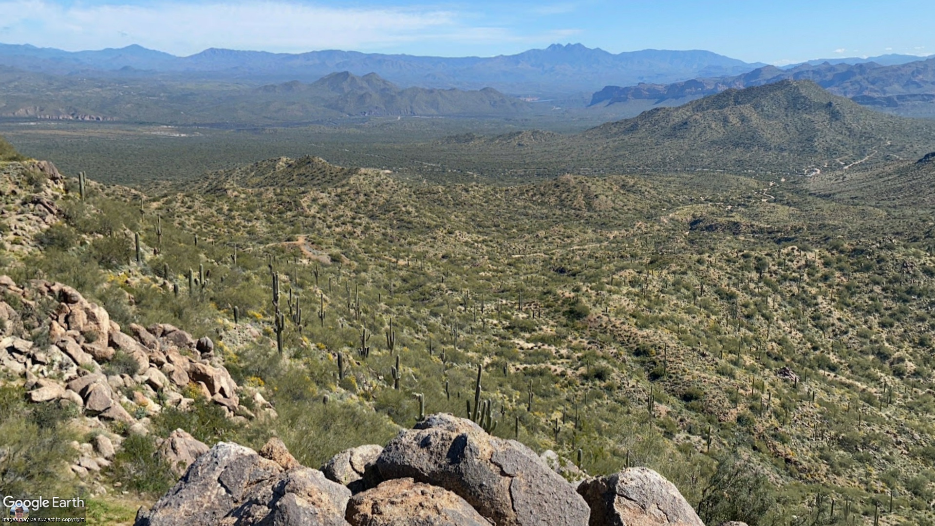
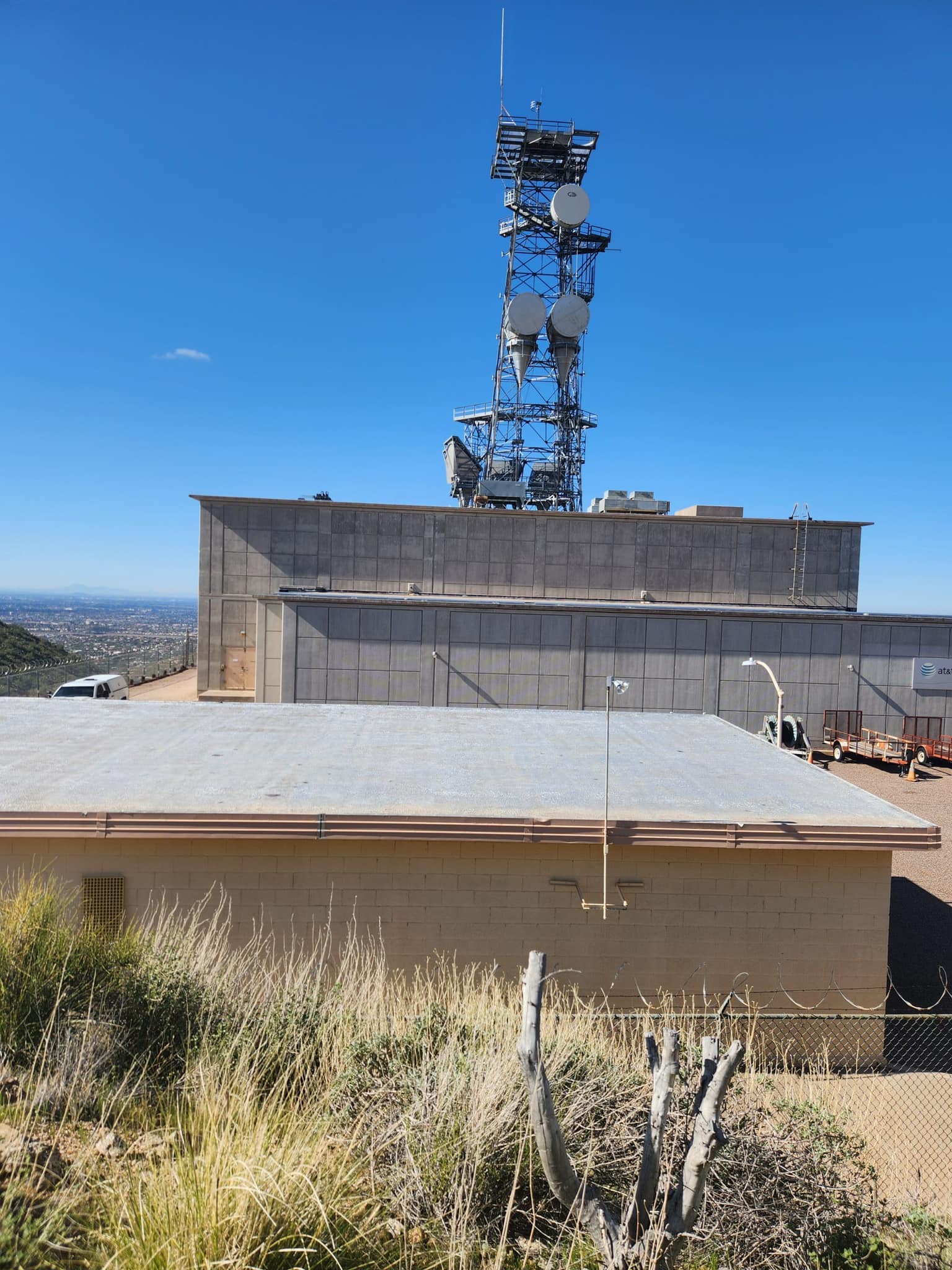
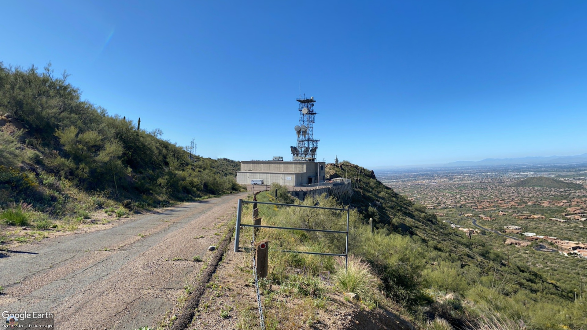
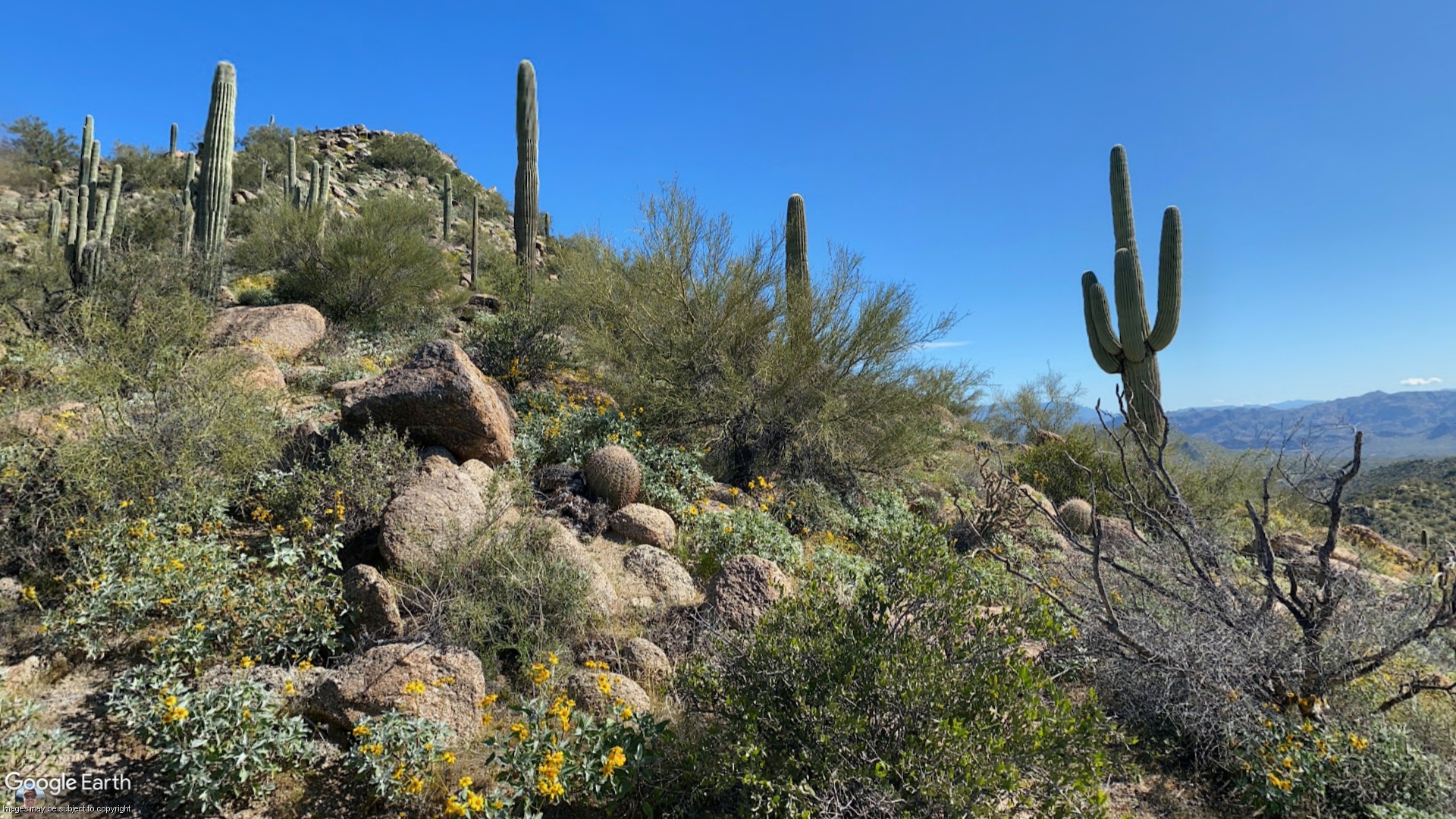
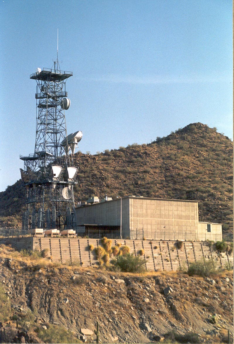
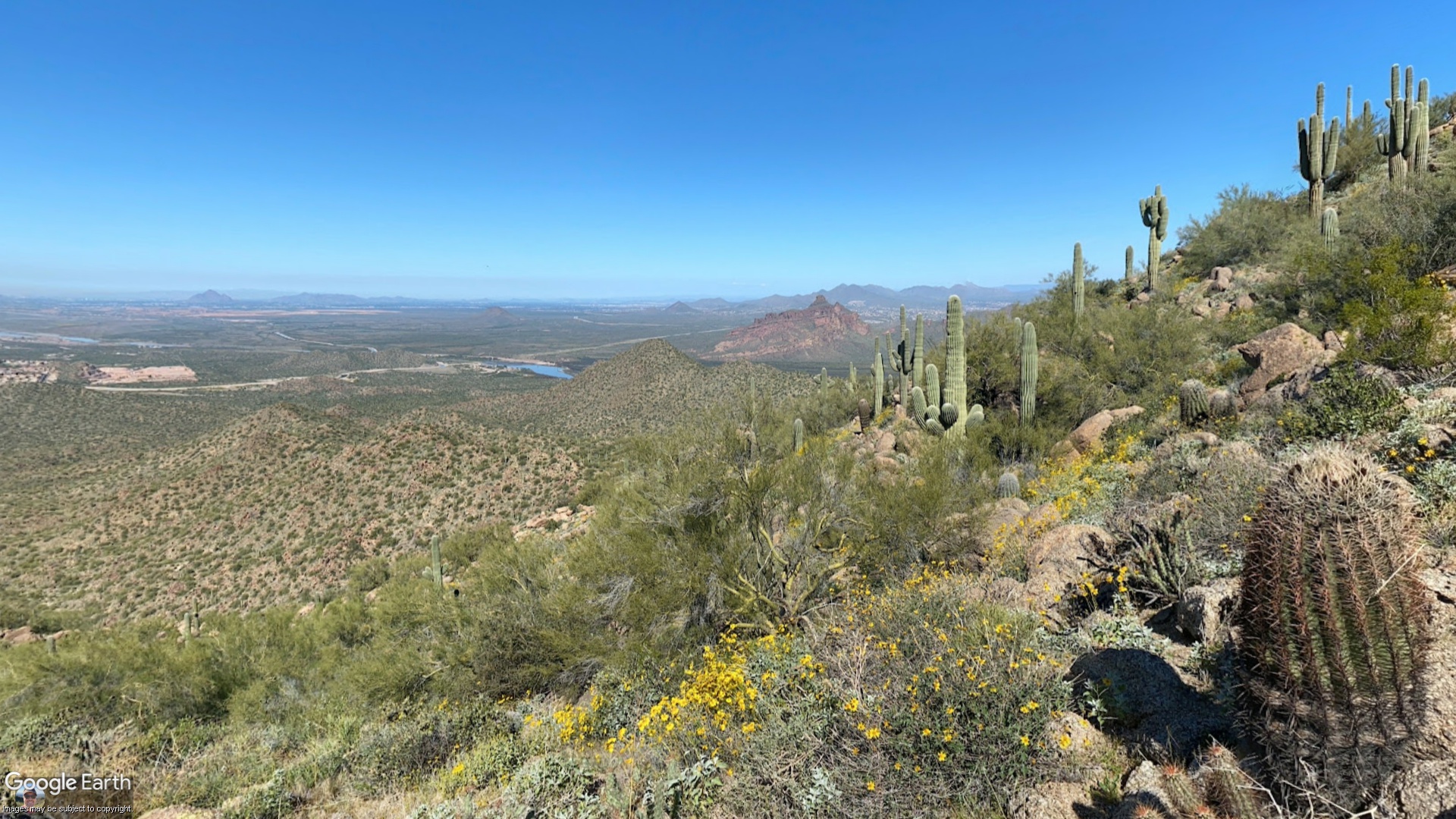
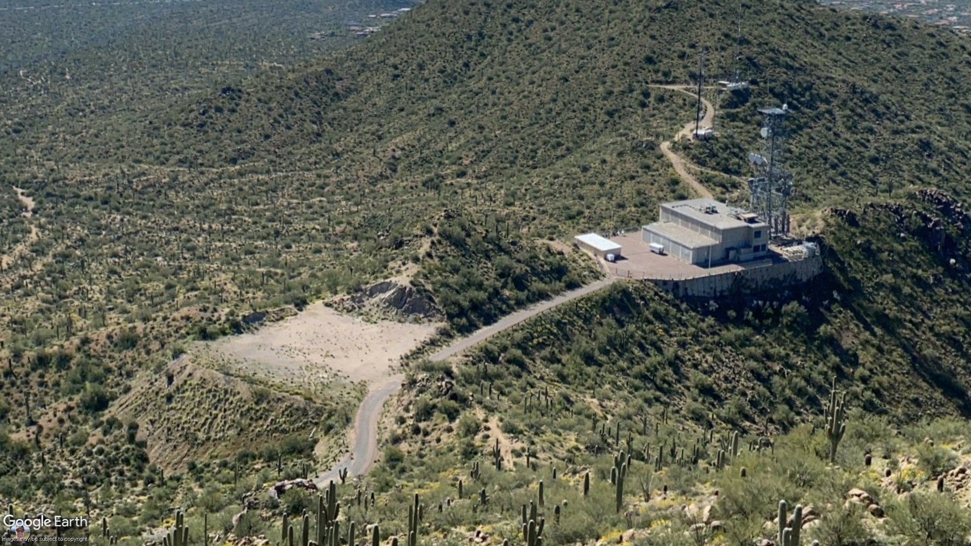
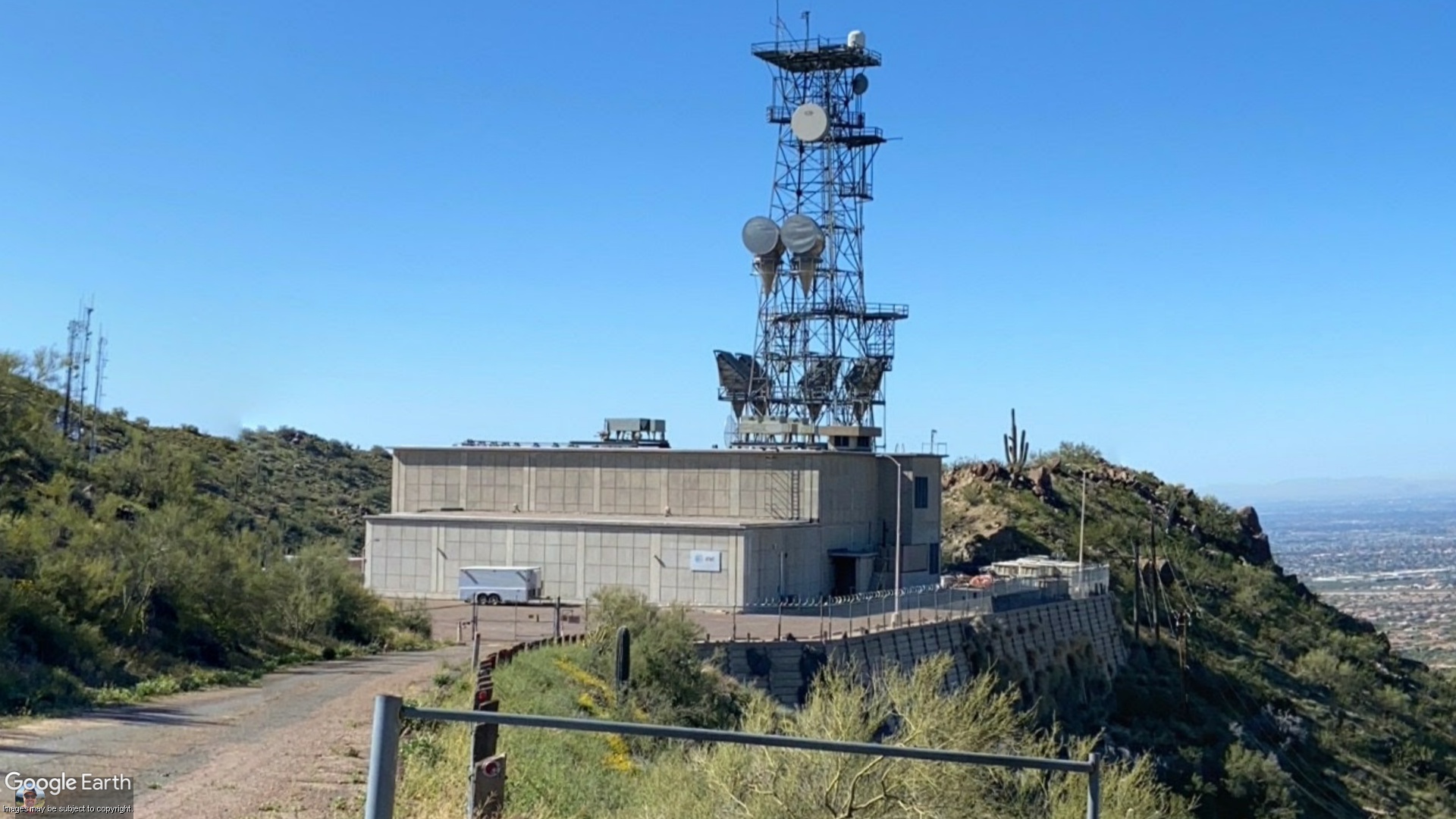
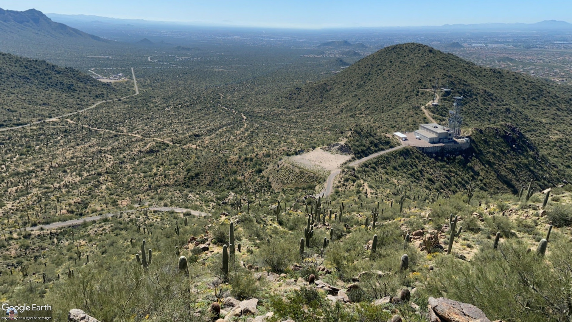
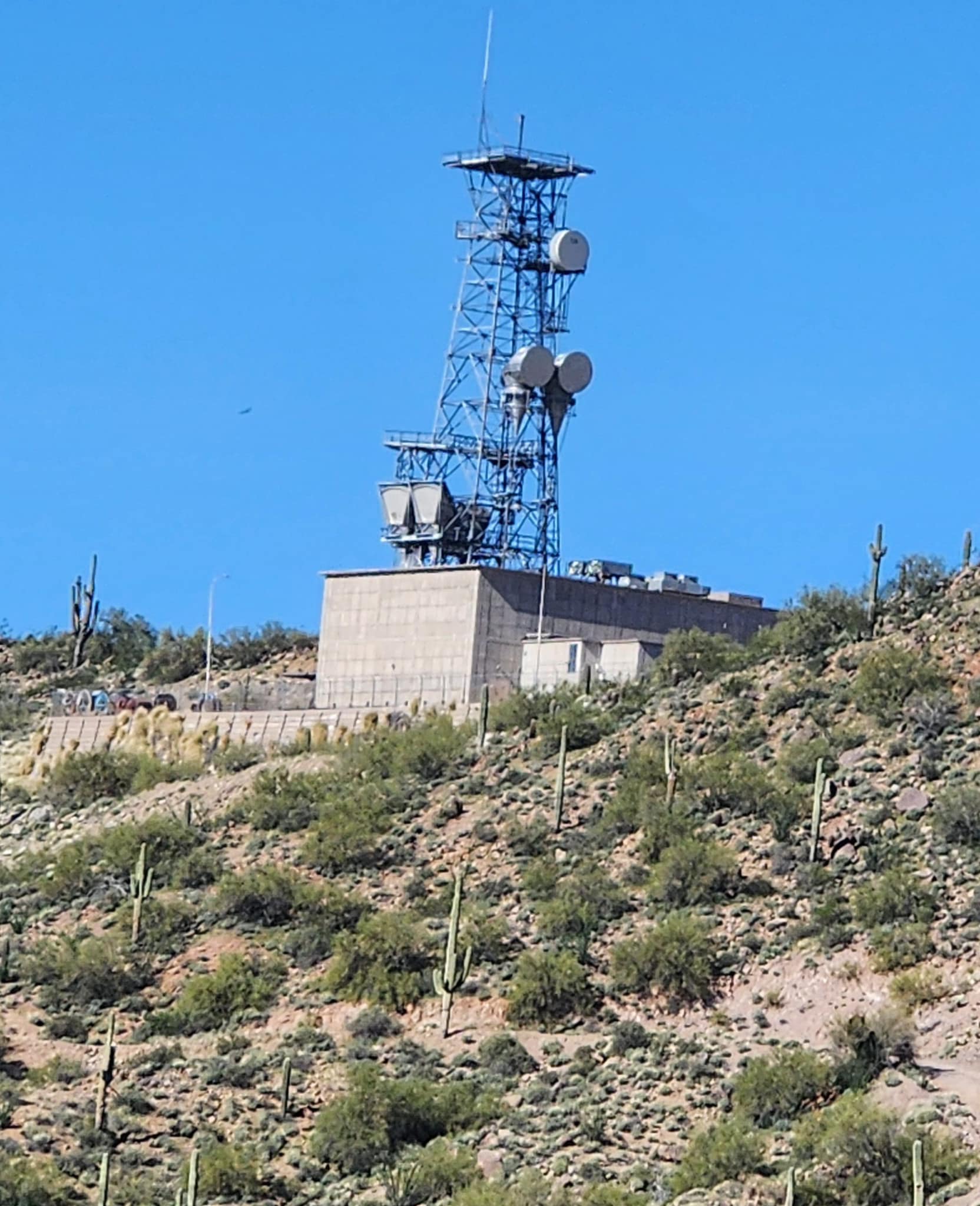
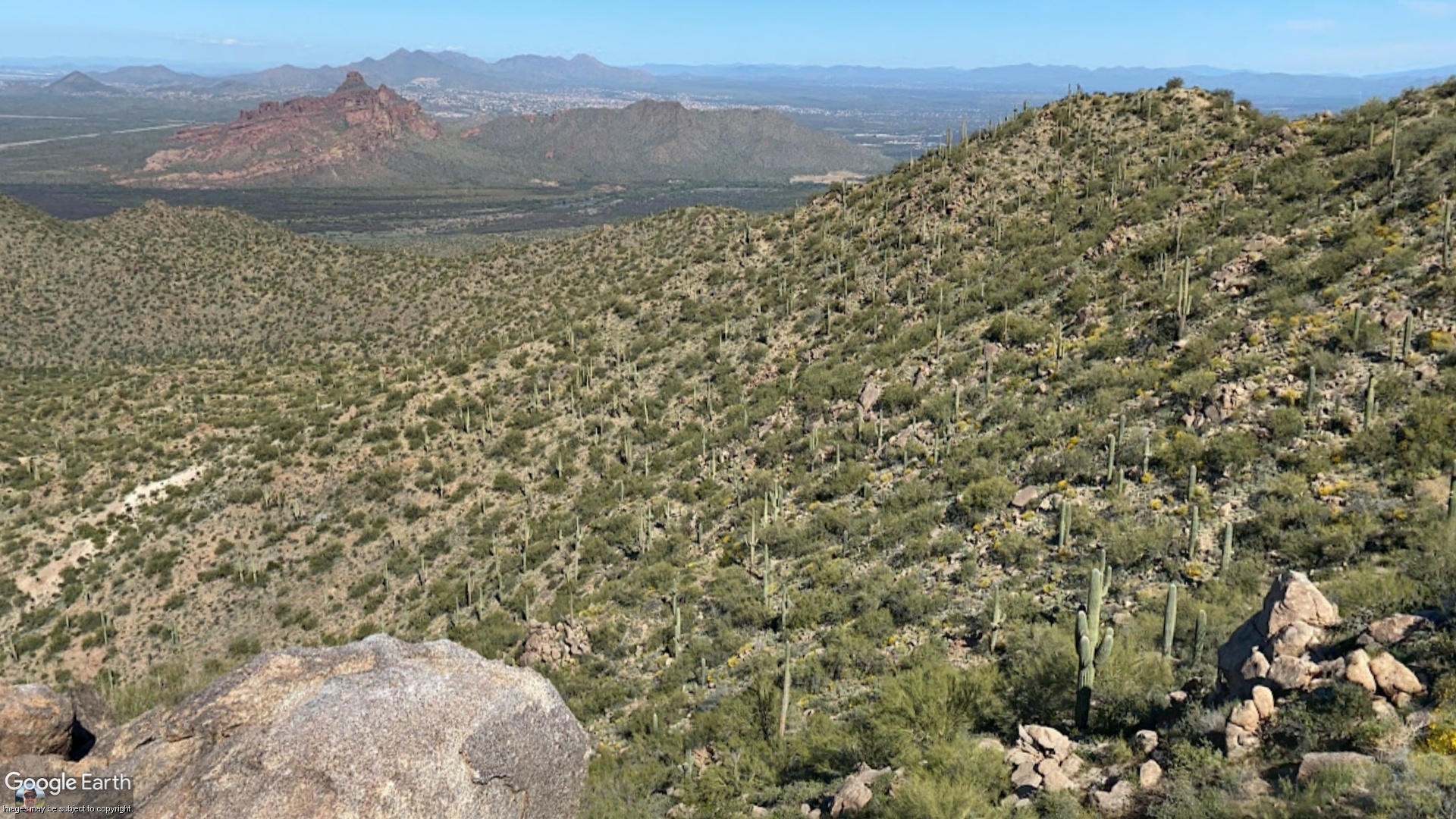
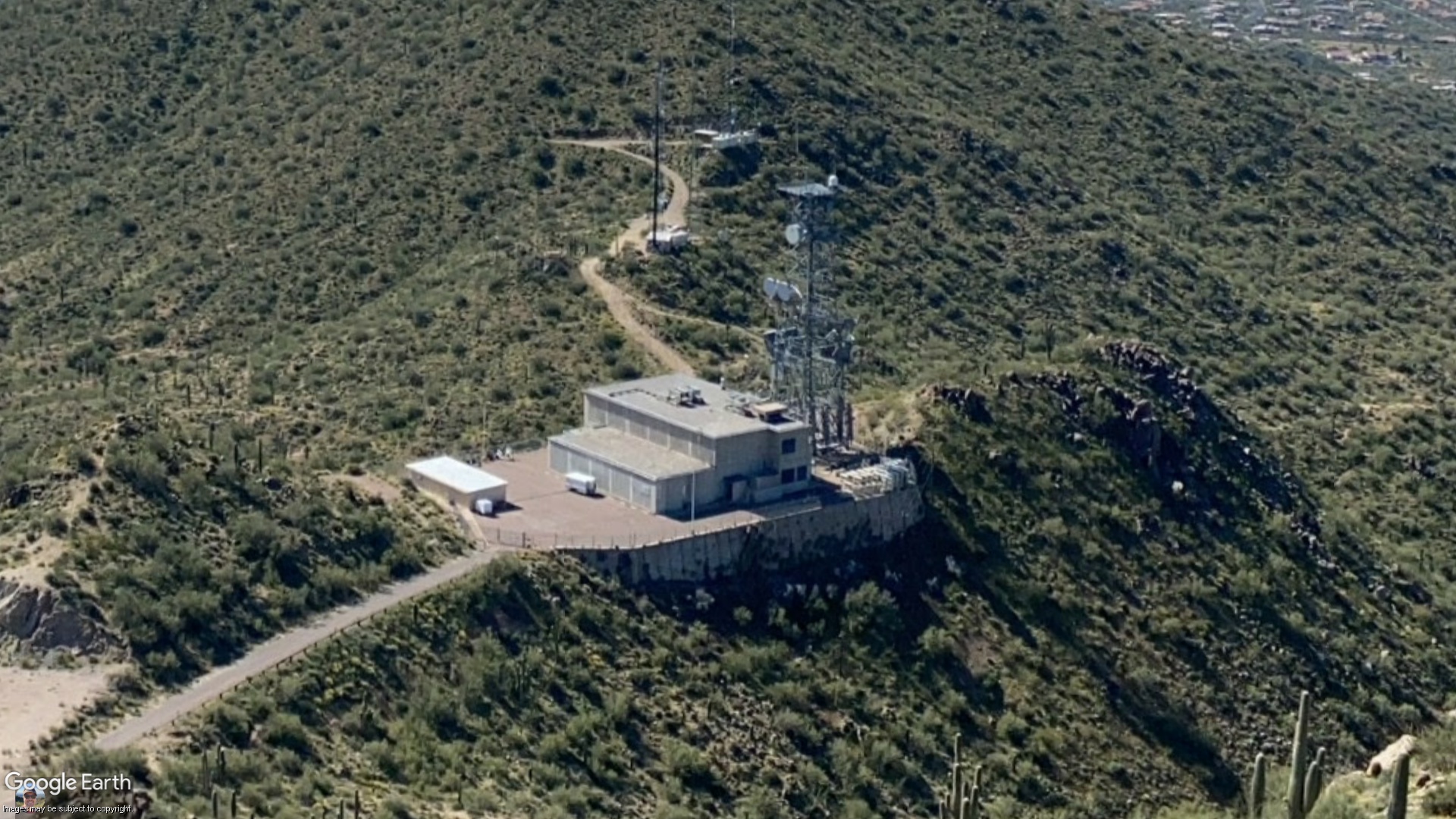
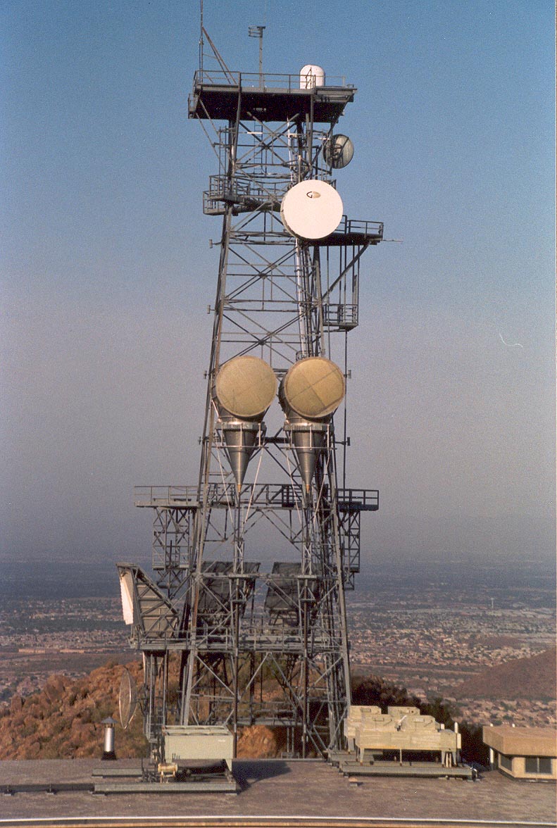
Located at the end of Microwave Tower Road on Usery Mountain about 25 miles east of Phoenix, at an elevation of 2527 ft., Apache Junction was a Long Lines microwave radio junction station and an AUTOVON switching center. The station consists of a large two-story reinforced-concrete building and a one-story addition, hardened against nuclear blasts, and a 150-ft. A-style tower having a single top platform and several side platforms. Apache Junction also has its own helipad.
A 1979 AT&T Long Lines route map shows Apache Junction having microwave routes going northwest to Cave Creek, southeast to Kelvin, south to Chandler Heights, west to Phoenix "Main" via a passive repeater atop the Arizona Title Building, and west to Mesa.
A pair of KS-15676 horn-reflector antennas for the Cave Creek path was mounted on the tower's top platform, but these have been removed and the Cave Creek site seems no longer in existence. It was located in what is now an up-scale neighborhood north of Phoenix and may have been demolished.
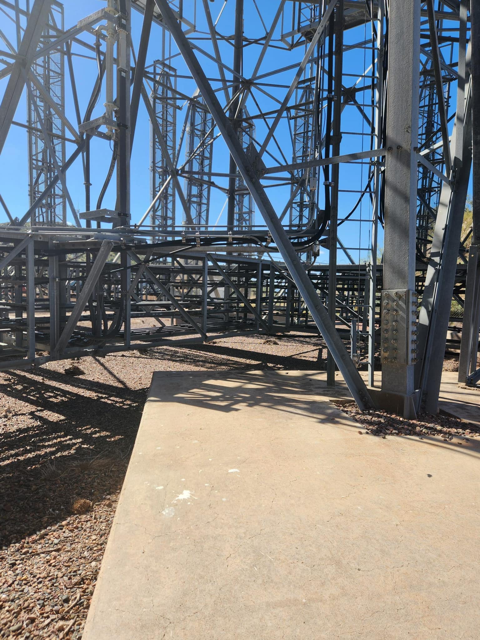
The two corner platforms imply a shot existed to the south; circular waveguide and combining networks are still in place.
An unusual feature on the tower is the cylindrical white radome similar to those used by television stations for microwave links to electronic news-gathering (ENG) trucks. Its purpose is unknown.
Also of interest is the T-shaped antenna mast on the tower's top platform. It appears similar to those used for the Echo-Fox presidential aircraft radio system, although Apache Junction is not included in a 1973 list of stations on that network.
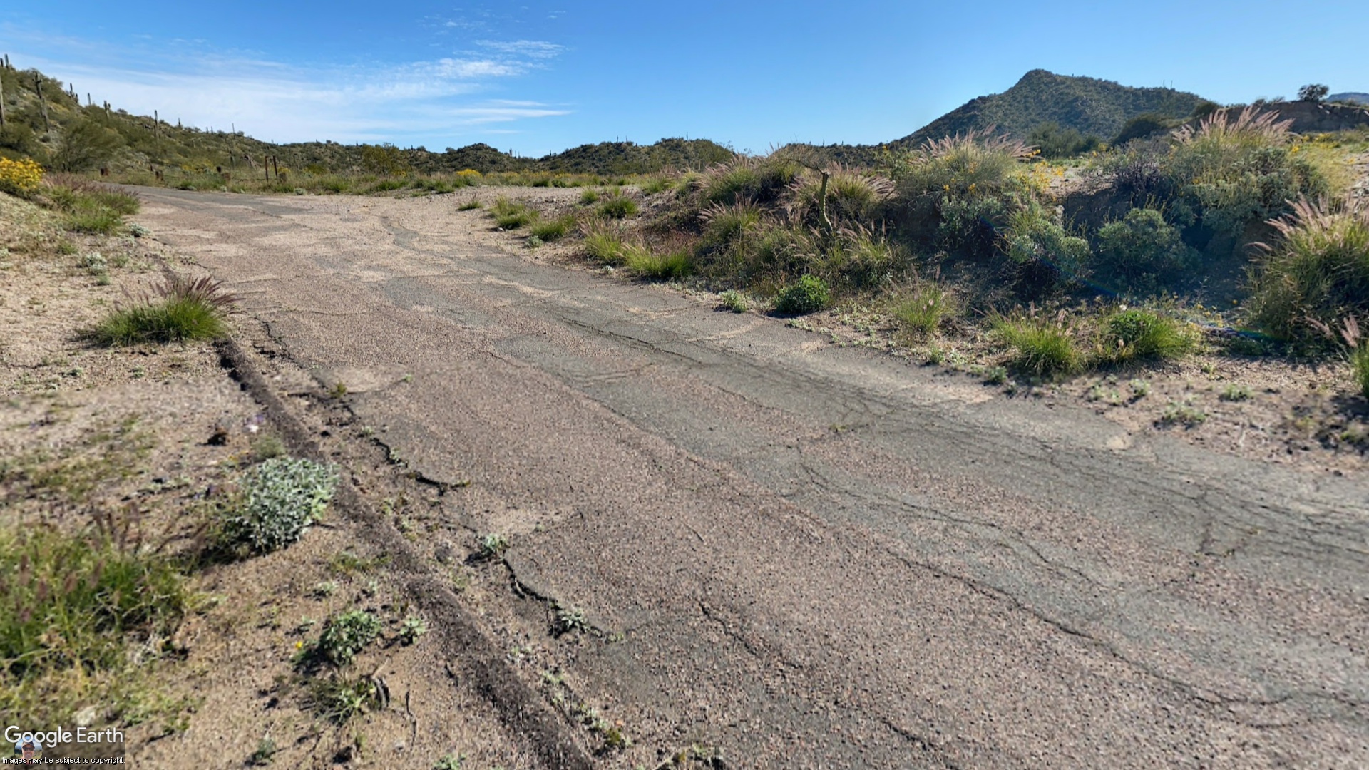
Apache Junction is still owned by AT&T, and appears to be active. The radomes of the microwave antennnas are pressurized, and fiber-optic cable markers can be seen along the access road.
Source : longlines.net