2025-06-21 "inspection" Collapse/Expand
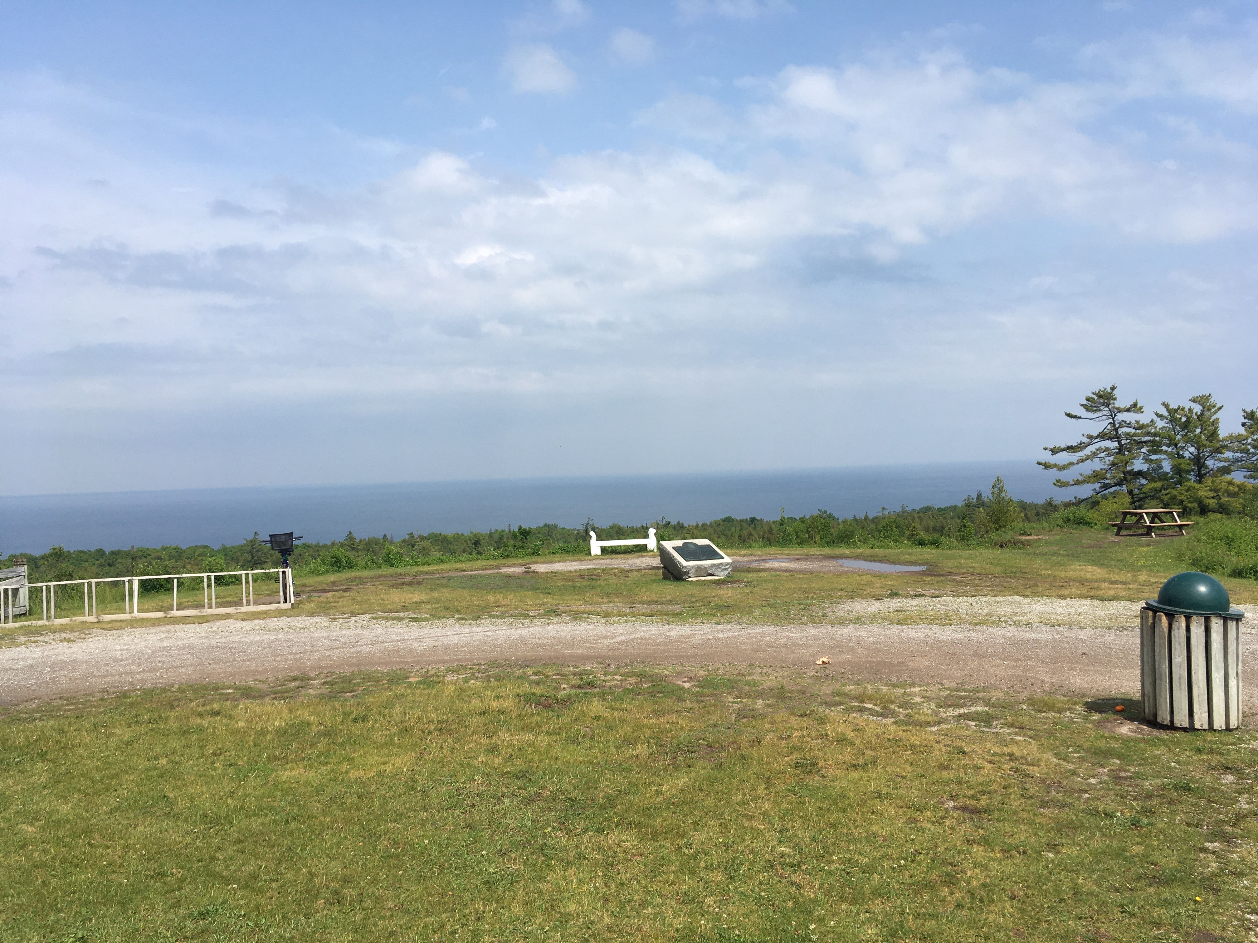
There is no trace of the site that was obvious to me. It looks like there used to be a right of way down the hill, but it is looks like just a trail now.
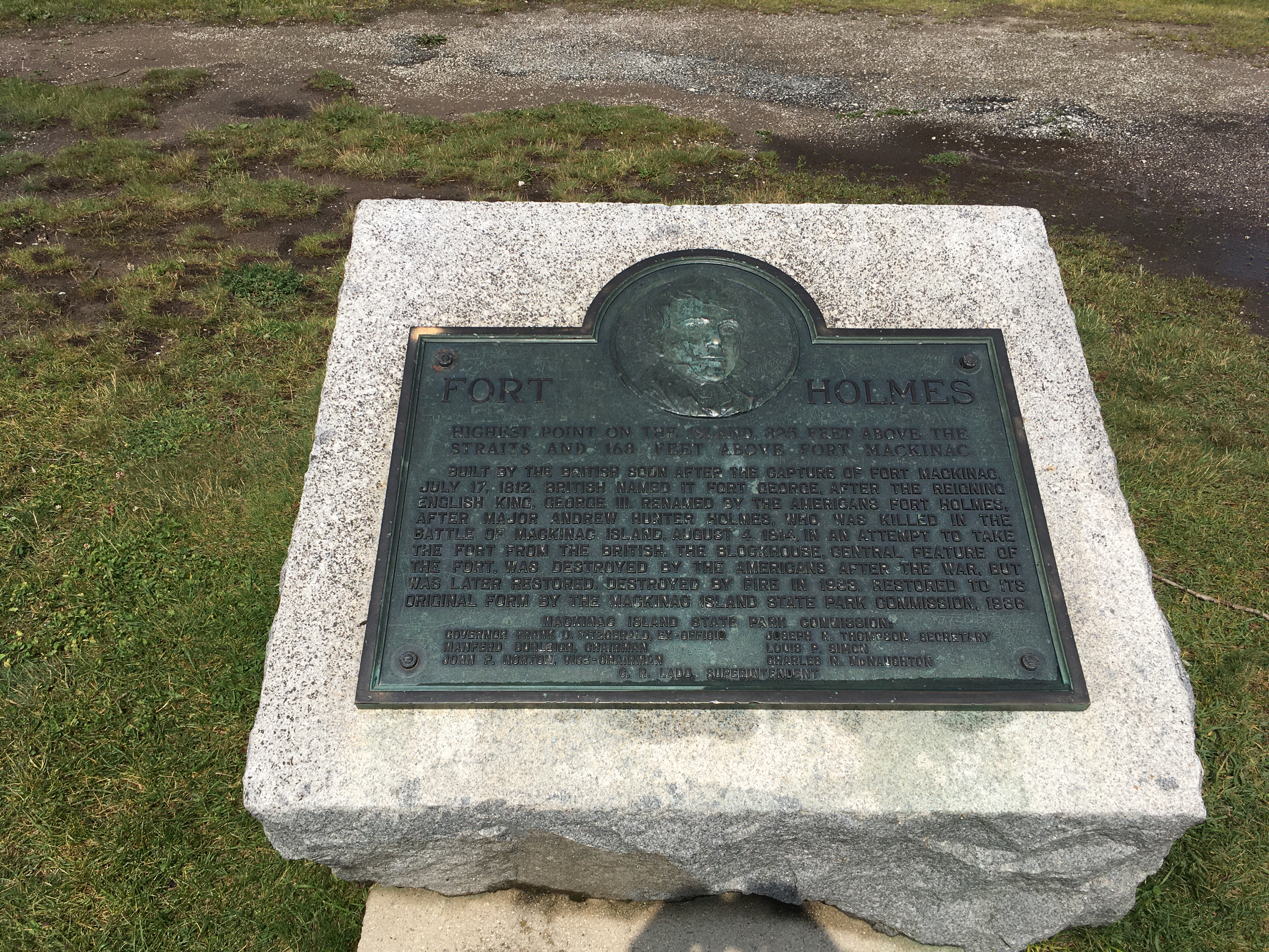
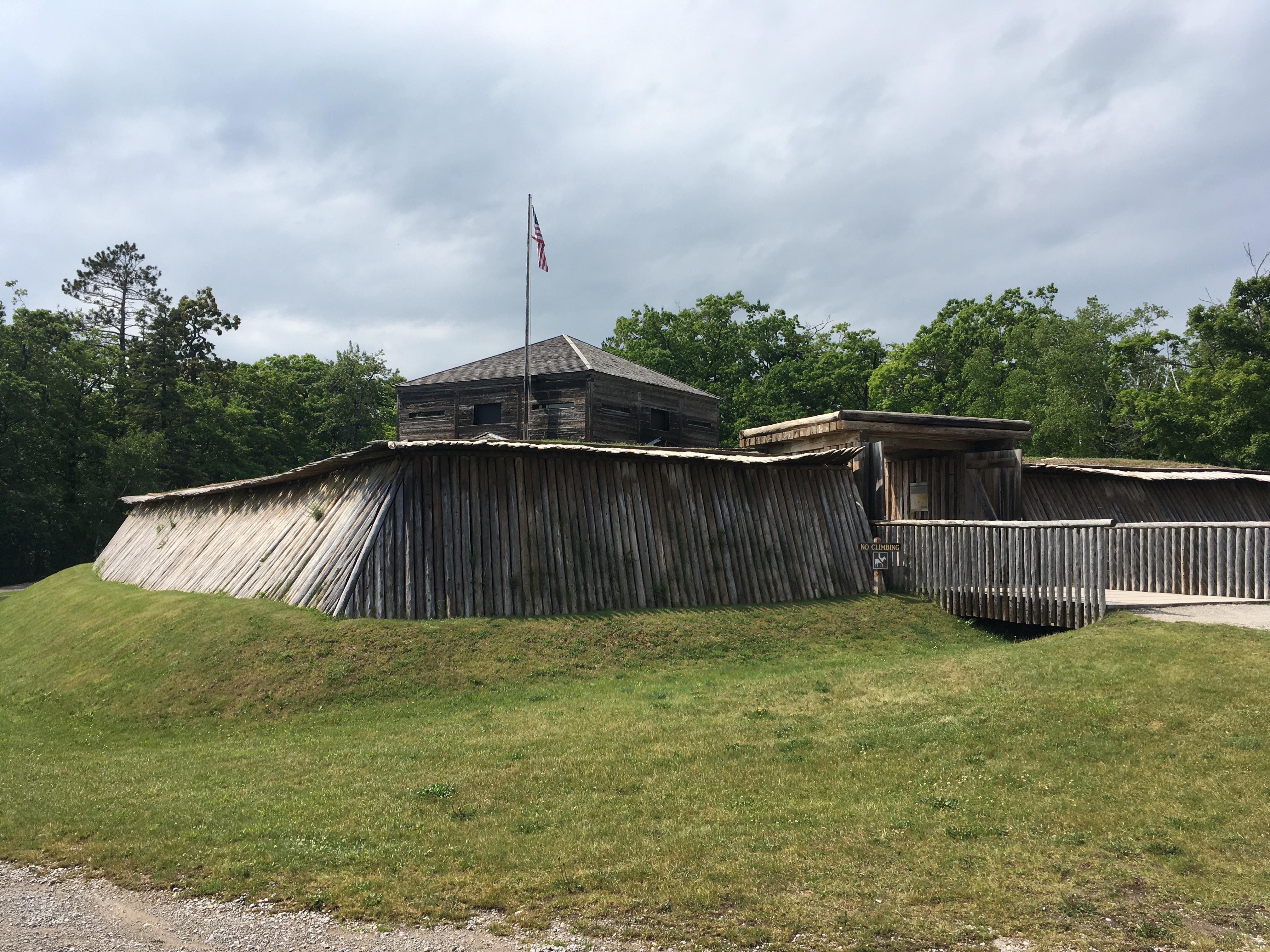
I tried to read the signs inside of Fort Holmes, but as I was trying to read the, a person said that they were closing it up. This was rather frustrating. Before walking out, I glanced at the rest of the signs, and saw some pictures of a lookout tower that looked square, but did not look as beefy as the AT&T towers.
A little ways back into the woods on Fort Holmes Rd, there is a radio shelter and a couple towers. These didn't strike me as having supported microwave equipment. I thought about uploading pictures of that site, but I don't believe they're related to this site, and could cause confusion.