HISTORY Collapse/Expand
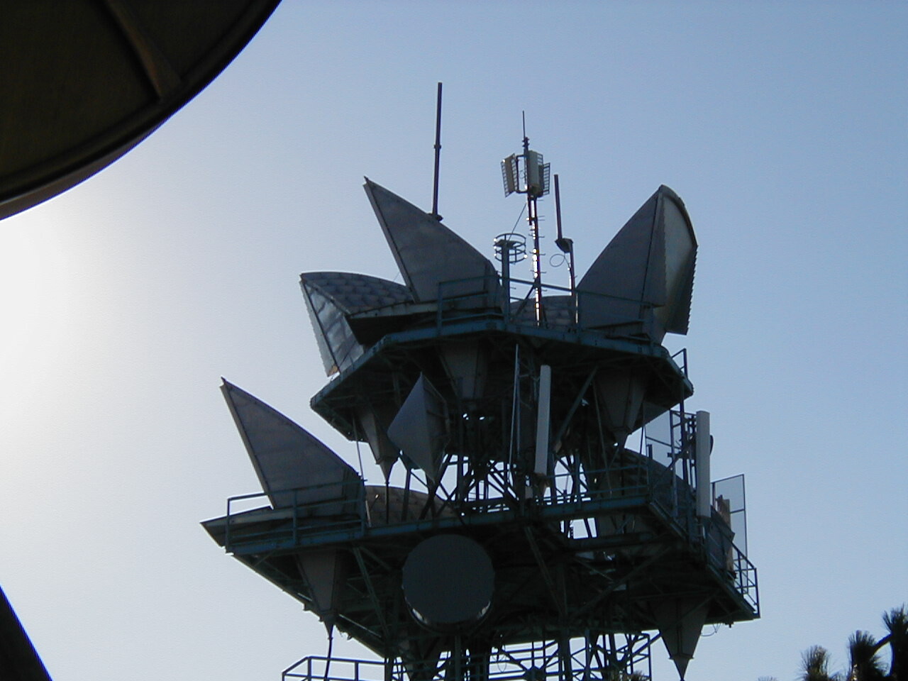
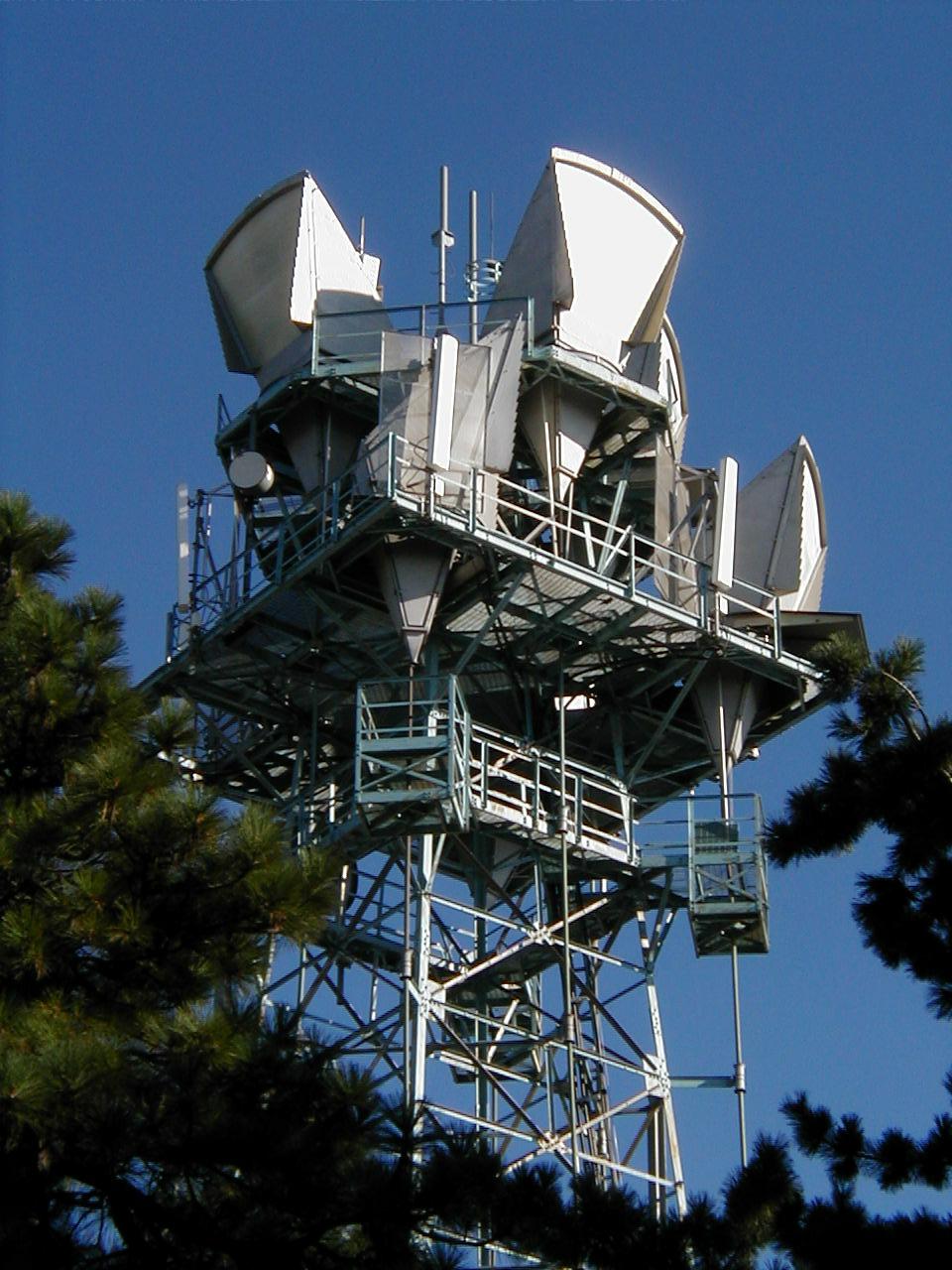
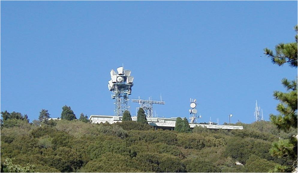
Strawberry Peak was built at the same time as the San Bernardino Toll addition in 1954. If you look at San Bernardino's horns, you'll see many of them focused on Strawberry Peak. During the heyday of microwave radio, San Bernardino-Strawberry Peak was one of the most heavily trafficked routes to get microwave radio traffic "over the hump" into the desert. Various types of TD (4 GHz), TL-TM (11 GHz) and TH (6 GHz) radio rode the path from San Bernardino to Strawberry. With the digitalization of the network in the '90s, such big "radio junction" stations became redundant and most were completely unmanned, only to be visited by building technicians now and then. Due to chronic understaffing of building technician positions, these visits can be few and far between to stations that no longer carry any traffic. Even stations that carry very little traffic now, perhaps hosting a digital radio channel to an area where a fiber optic line would not be cost-effective, are virtually falling into ruin due to neglect. In its heyday, Strawberry Peak was manned 24/7, as it was a critical "radio junction". (B. Scarborough).
.JPG)