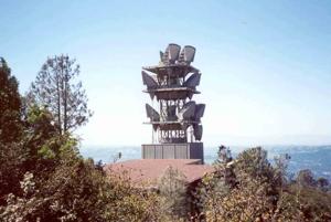
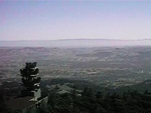
Mount Diablo - California
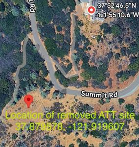
Coordinates: 37.879578, -121.919607
Address: 3.6 MILES NORTHEAST MT DIABLO Clayton 94517
Paths To: EAST BAY HILLS BERNAL HEIGHTS Mt Oso Walpert Ridge
View On: Long Lines Map | Google Maps | Bing Maps
View Random Site
Address: 3.6 MILES NORTHEAST MT DIABLO Clayton 94517
Paths To: EAST BAY HILLS BERNAL HEIGHTS Mt Oso Walpert Ridge
View On: Long Lines Map | Google Maps | Bing Maps
View Random Site


