EAST BAY HILLS- California

Coordinates: 37.87360764, -122.2188873
Address: 3750 Grizzly Peak Blvd. Orinda 94563
Paths To: Richmond   Mount Diablo   Round Top   Oakland   San Franciso   Hayward CO
View On: Long Lines Map | Google Maps | Bing Maps

View Random Site

Site Notes

Add site note

SITE HISTORY   Collapse/Expand

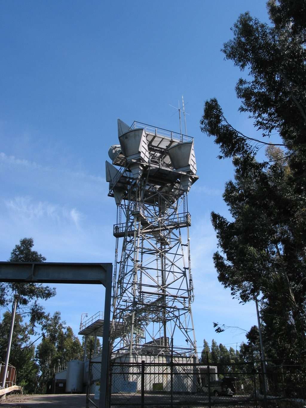
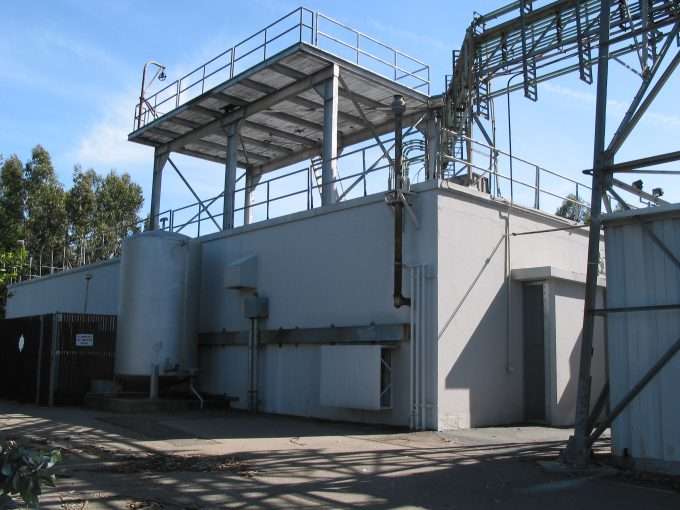
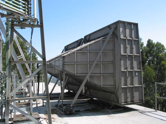
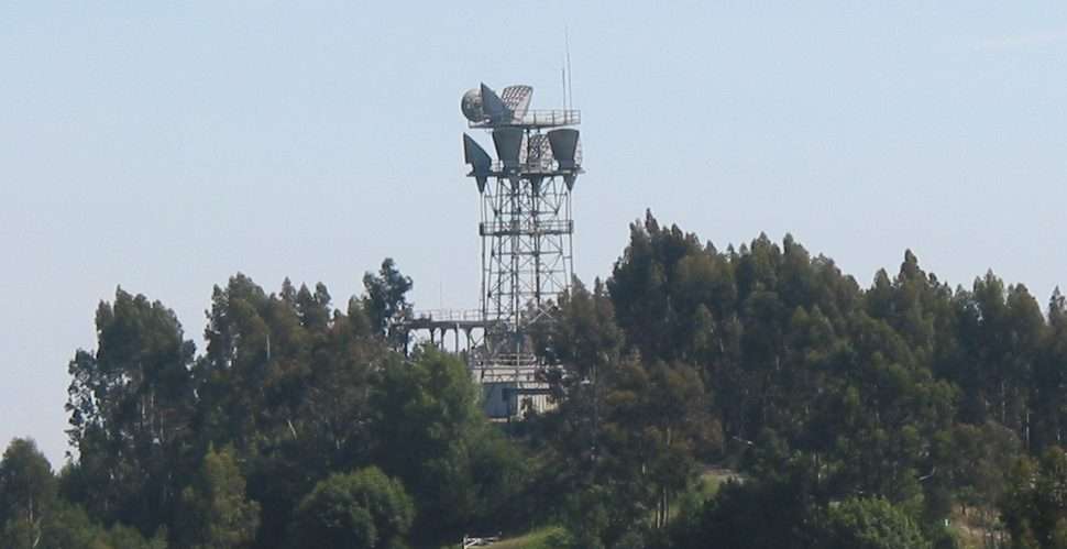
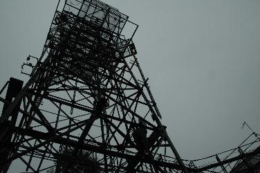
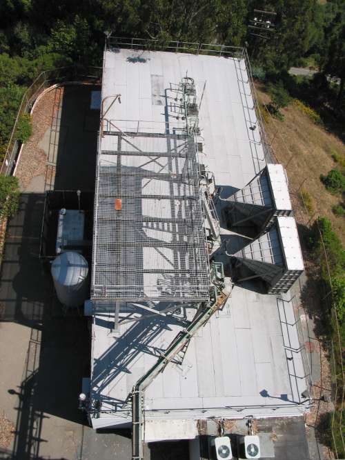
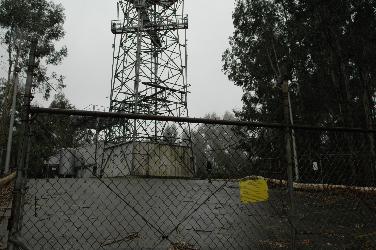
East Bay Hills is located within Tilden Park, which is owned and operated by the East Bay Regional Park District. Tilden Park is within the City of Berkeley. On top of the roof are the old microwave horns (large pyramidal shape) used in the very first Long Lines paths. They don't appear to go to Oakland, possibly the San Francisco office. As of 2003 the tower has been dehorned. PL (Private Line) to Fremont FAA (Could be Allison Peak?). TV feed to San Jose. PL to Palo Alto Wall Street Journal Office. TV feed to 140 (SF office). TAKEN FROM WAYNE HAYES ARCHIVED SITE

Site Documents

Site Pictures

Add site Pictures

This event has 0 comments.

Please log in to leave a comment.

All information is provided for free to the public. Pictures and Documents are provided by supporters of the website and for that I am very gateful.
For any questions or comments please email [email protected].